


Lago del Naret-Sasso Nero-Lago del Naret


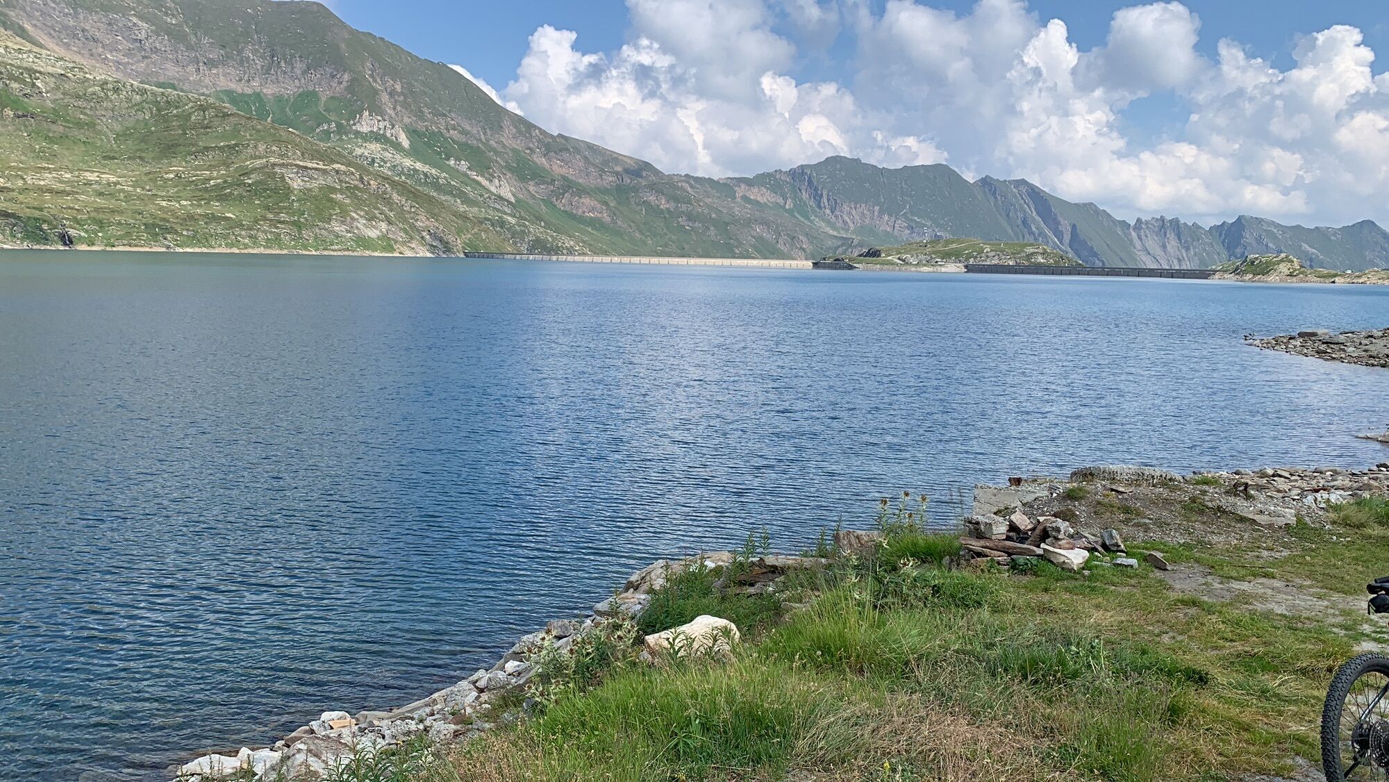
Opened in 1970, the Narèt reservoir is used for hydropower; its impressive volume (31.6 million m3) is at 2300-plus metres above sea level. The surrounding peaks and diminutive mountain lakes make one...
Opened in 1970, the Narèt reservoir is used for hydropower; its impressive volume (31.6 million m3) is at 2300-plus metres above sea level. The surrounding peaks and diminutive mountain lakes make one curious to learn more about this area.
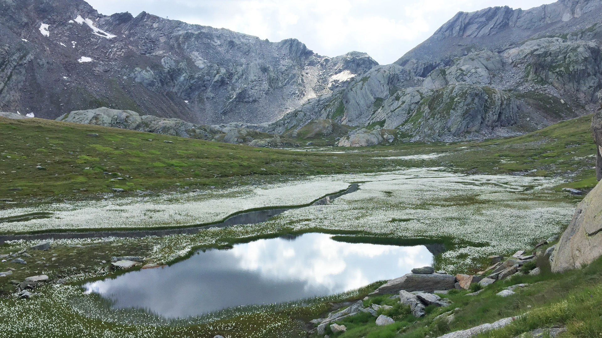
Leave the car park and follow the Lago del Narèt reservoir up to the pass and then through the somewhat barren Coro valley up to the Bocchetta del Lago Nero. The Lago Nero is below right, and with a little luck you might see chamois and ibex.
The descent from the Bocchetta is very steep. Once you have descended around 300 metres in altitude, the path passes the Laiòzz lakes with their little islands. The route continues downwards: on the left you can see the Sasso Nero with a little refuge. A final climb returns you to the Lago del Narèt.
The tour can be completed in either direction.


Lago del Narèt-Bocchetta del Lago Nero-Rifugio Sasso Nero-Lago del Narèt
Ja
Hiking daypack (approx. 20 liters) with rain cover
Comfortable and sturdy footwear
Adequate and durable outdoor clothing in multiple layers
Telescope sticks if necessary,
Sun and rain protection
Snacks and drinking water
First aid kit
Penknife
Mobile phone, headlight if necessary
Maps
Arrival by car recommended. From Locarno to Fusio and to the car park at the Naret artificial lake.
Schweizer Wanderwege - Sicher unterwegs
Populära turer i närområdet
-
4,0
Foroglio-Calnègia-Foroglio
MediumVandring 8,37 km -
Val Piora lakes route
MediumVandring 15,8 km -
4,7
Fusio-Lago Mognola-Fusio
MediumVandring 8,94 km -
5,0
Bignasco-San Carlo
MediumVandring 12,8 km -
4,5
Lakes Orsino, Orsirora and Valletta Route
Vandring 12,8 km -
Mognola Rock Climbing
Klättring 8,93 km -
Glacier path
MediumVandring 8,18 km -
Monti di Rima Margoneggia Rima
ljusVandring 12,7 km -
5,0
TESSIN | Foroglio
MediumVandring 3,86 km -
Via Alta Vallemaggia - Stage 6W: Rifugio Alpe Fontana-Fusio
MediumVandring 8,65 km

Vandring och spårning


Missa inte erbjudanden och inspiration inför nästa semester
Din e-postadress har lagts till på e-postlistan.