


Trekking dei laghetti alpini - Stage 1: Fusio-Poncione di Braga mountain hut


This is the most physically demanding section of the route, making it the perfect start to the adventure.
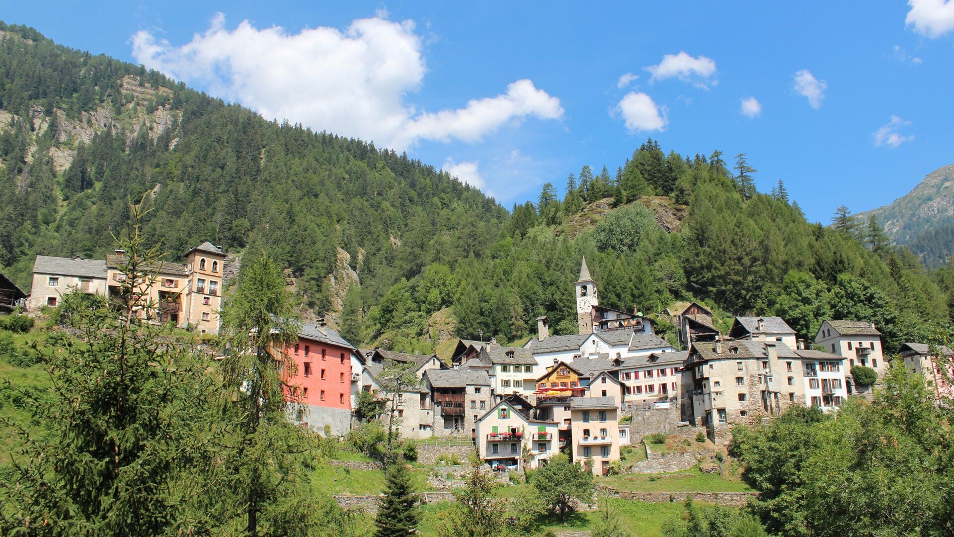
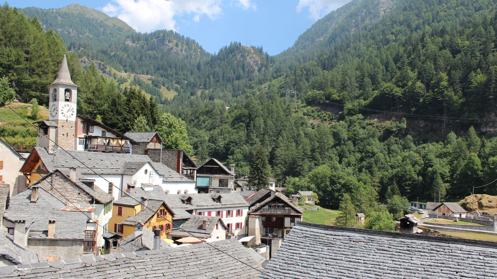
The trek begins in Fusio, a village clinging to the mountain with both traditional and eclectic...
This is the most physically demanding section of the route, making it the perfect start to the adventure.
The trek begins in Fusio, a village clinging to the mountain with both traditional and eclectic architecture. From there, the trail climbs through larch woods, then up a steep stretch to Alpe di Röd and on to Bocchetta di Pisone, a pass neglected by hikers for decades and relaunched with this trekking route.
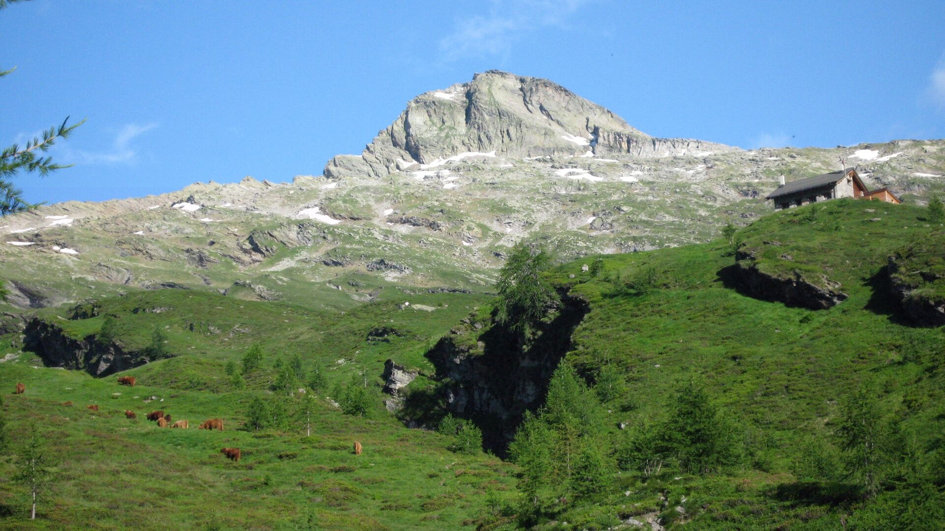
On the other side of the pass is the Peccia Valley, famous for its marble. Below lies the only white marble quarry in Switzerland. After a short, steep descent of almost 1000 meters, you can admire the majestic Ri della Cròsa waterfall before crossing over to the opposite slope.
The trail continues along a natural ledge and then uphill to the Poncione di Braga mountain hut, a tranquil retreat at your free disposal.


https://www.vialtavallemaggia.ch/
https://www.capanneti.ch/ (mountain huts)
https://map.geo.admin.ch/ (topographic map)
http://www.robiei.ch/ (cable car Robièi)
Ja
good hiking boots
suitable clothing
sunglasses and sunscreen
map with a scale of 1:25,000, altimeter and, if possible, GPS
travel pharmacy and emergency thermal blanket
sufficient food and drink
identity card and cash (francs and euros)
The Alpine lakes trekking route (Trekking dei laghetti alpini) runs mainly along mountain paths (level of hiking difficulty: T3) with some section of Alpine tracks (T4). However, the trek should not be taken lightly, especially in terms of the length of some of the sections and the elevation, reaching altitudes of around 3,000 metres above asl in places.
The following are therefore required:
good physical condition detailed planning (current conditions, weather forecast etc.) surefootedness on uneven ground (scree etc.)
Not to be underestimated:
high elevation sudden weather changes presence of snow at the beginning of the season trekking time (particularly when hiking in large groups) often no mobile coverage lack of drinking water sources along some sections
Emergency telephone number: 112
https://www.vialtavallemaggia.ch/
https://www.capanneti.ch/ (Hütten)
https://map.geo.admin.ch/ (Topografische Karte)
http://www.robiei.ch/ (Seilbahn Robièi)
Some huts open as early as June, when the connecting sections are usually still covered in snow.
Generally, the best season for trekking is between July and September/October.
However, even in the height of summer, you are advised to contact the guardians to check the state of the route. Overnight stays must be booked in advance in order to avoid unpleasant surprises and find oneself without accommodation.
Populära turer i närområdet
-
4,0
Foroglio-Calnègia-Foroglio
MediumVandring 8,37 km -
Val Piora lakes route
MediumVandring 15,8 km -
4,7
Fusio-Lago Mognola-Fusio
MediumVandring 8,94 km -
5,0
Bignasco-San Carlo
MediumVandring 12,8 km -
Lago del Naret-Sasso Nero-Lago del Naret
MediumVandring 8,55 km -
Mognola Rock Climbing
Klättring 8,93 km -
Glacier path
MediumVandring 8,18 km -
Monti di Rima Margoneggia Rima
ljusVandring 12,7 km -
5,0
TESSIN | Foroglio
MediumVandring 3,86 km -
Via Alta Vallemaggia - Stage 6W: Rifugio Alpe Fontana-Fusio
MediumVandring 8,65 km

Vandring och spårning


Missa inte erbjudanden och inspiration inför nästa semester
Din e-postadress har lagts till på e-postlistan.