


Saale - Water hiking from Uhlstädt to Kahla - Stage 7
Svårighetsgrad: 3


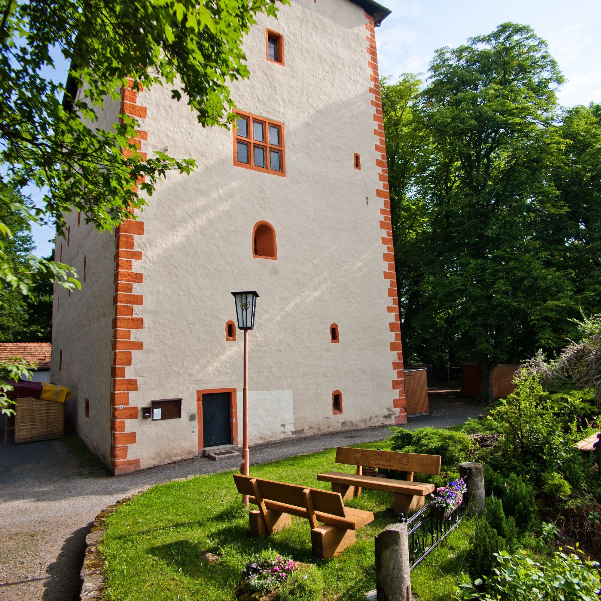
Start your stage through the wooded hills of the Buntsandstein at the campsite in Uhlstädt, a traditional rafting village. Parking spaces are also available here.
Wood was already scarce as building and...
Start your stage through the wooded hills of the Buntsandstein at the campsite in Uhlstädt, a traditional rafting village. Parking spaces are also available here.
Wood was already scarce as building and fuel material in some parts of northern and central Germany in the Middle Ages, so logging and transport from distant areas was worthwhile. From Uhlstädt to the mouth of the Orla, the Saale meanders through the floodplain, sometimes allowing views into the distance and sometimes the dense greenness of the banks surrounds the water traveler.
High above the valley, at the confluence of the Saale and Orla, lies the historic upper town of Orlamünde with its widely visible Kemenate. The residential tower from the 11th century was part of a castle complex that served to secure the Saale as a border against the Slavs.
After the next river bend, the Leuchtenburg already towers over the Saale valley. But before you reach the banks of the castle hill, another monument appears: a bold, almost graceful steel structure connects the two banks of the Saale. Since 1908, the suspension bridge has enabled traffic between Großeutersdorf and Kleineutersdorf and even survived an attempted demolition in 1945. Over a length of 56 m, the bridge spans the Saale without pillars.
There is only one weir left to overcome (right) before you come to the very old town of Kahla at the foot of Leuchtenburg. The historic old town with its nearly completely preserved city wall tells of its rich past. Experienced inflatable boaters can use the hard-to-see boat slide on the left side. Canoeists should portage the weir on the right side.
Route of the tour:
Uhlstädt Campsite (official entry and exit point/rest area) Zeutsch (official entry and exit point/rest area) Orlamünde (official entry and exit point/rest area) Großeutersdorf (rest area) Kahla Weir (portage) Kahla Gries (official entry and exit point/rest area)

Start your stage through the wooded hills of the Buntsandstein after the weir in Uhlstädt, a traditional rafting village. Wood was already scarce as building and fuel material in some parts of northern and central Germany in the Middle Ages, so logging and transport from distant areas was worthwhile.
High above the valley, at the confluence of the Saale and Orla, lies the historic upper town of Orlamünde with its widely visible Kemenate. The residential tower from the 11th century was part of a castle complex that served to secure the Saale as a border against the Slavs.
After the next river bend, the Leuchtenburg already towers over the Saale valley. But before you reach the banks of the castle hill, another monument appears: a bold, almost graceful steel structure connects the two banks of the Saale. Since 1908, the suspension bridge has enabled traffic between Großeutersdorf and Kleineutersdorf and even survived an attempted demolition in 1945. Over a length of 56 m, the bridge spans the Saale without pillars.
Only one weir remains to be overcome (right), before you arrive at the foot of Leuchtenburg in the very old town of Kahla. The historic old town with its almost completely preserved city wall tells of its rich past.
Life jackets, water shoes
The weirs and hydropower plants in the Saale must be portaged, unless otherwise indicated. To portage the canoes, you should be at least two people; for inflatable boats, at least four people are necessary.
Please note that the flow speed of the Saale depends on the water level. We advise against water hiking with too high water levels after heavy rainfall.
The current water level at the Rudolstadt/Saale gauge can be found here
3
The porcelain tradition in Thuringia is a quarter of a millennium old. A visit to the porcelain exhibition at Leuchtenburg is recommended.
Populära turer i närområdet
-
3,0
Circular route - "On archaeological trail of King Otto I." - Saale region
ljusVandring 6,55 km -
4,0
Circular hike - "Round route 3" - start and finish country hotel Edelhof Kolkwitz - Thuringia
MediumVandring 9,42 km -
4,0
Zur Jagdanlage Rieseneck bei Hummelshain
ljusVandring 5,21 km -
Hiking trail - Schustersteig from Pößneck to Rudolstadt - Thuringian Forest
MediumVandring 25,8 km -
5,0
Zwischen Leubengrund und Hummelshain
ljusVandring 9,28 km -
Rundweg 2 - "Harzer von Weißbach"
MediumVandring 9,27 km -
Circular route 1 Uhlstädter Heath | Legendary and historical near Weißen
MediumVandring 8,38 km -
MTB Saalfeld 08: Luisenturm and Liebhabertheater circular route
MediumMountainbike 55,9 km -
1,0
Circular hike - Saalleiten Explorer Path - Uhlstädt
MediumVandring 8,97 km -
Orla cycling route - Thuringia
MediumCykling 34,5 km
Vandring och spårning


Missa inte erbjudanden och inspiration inför nästa semester
Din e-postadress har lagts till på e-postlistan.