


Circular hiking trail - "Trusetal Landmark Route" - Thuringian Forest


You start the hike at the Waterfall parking lot. The path leads you to the landmark of Trusetal, the waterfall. Climb the 228 steps of the waterfall. From the platform, the highest point of the landmark,...
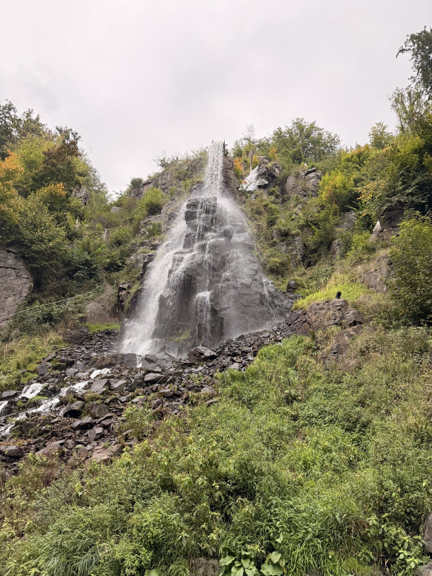
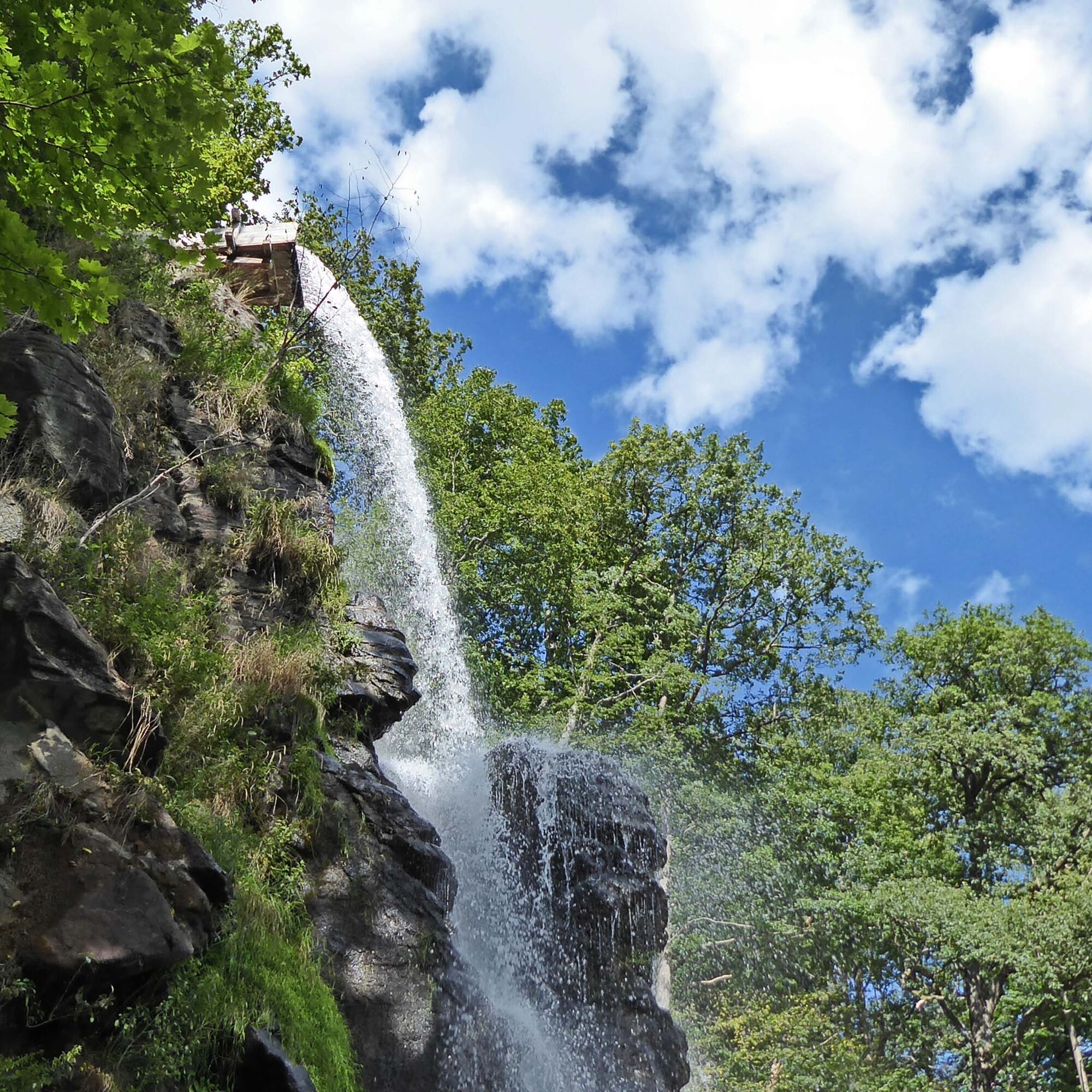
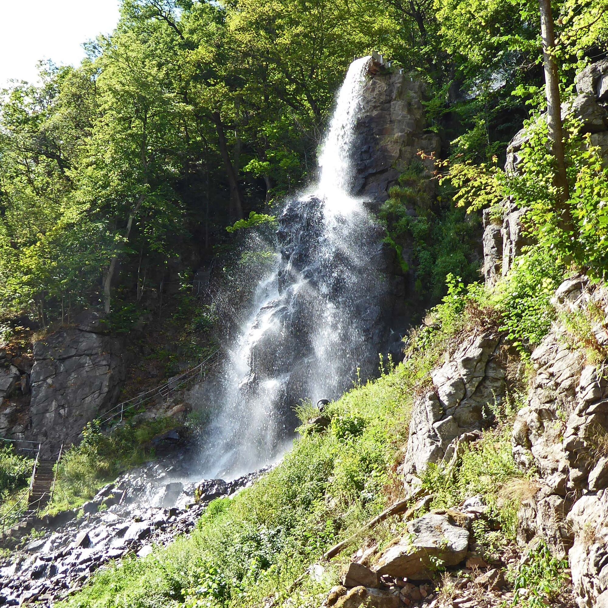
You start the hike at the Waterfall parking lot. The path leads you to the landmark of Trusetal, the waterfall. Climb the 228 steps of the waterfall. From the platform, the highest point of the landmark, you have a breathtaking view downwards. It is an impressive spectacle to see the masses of water plunging 58 m down.
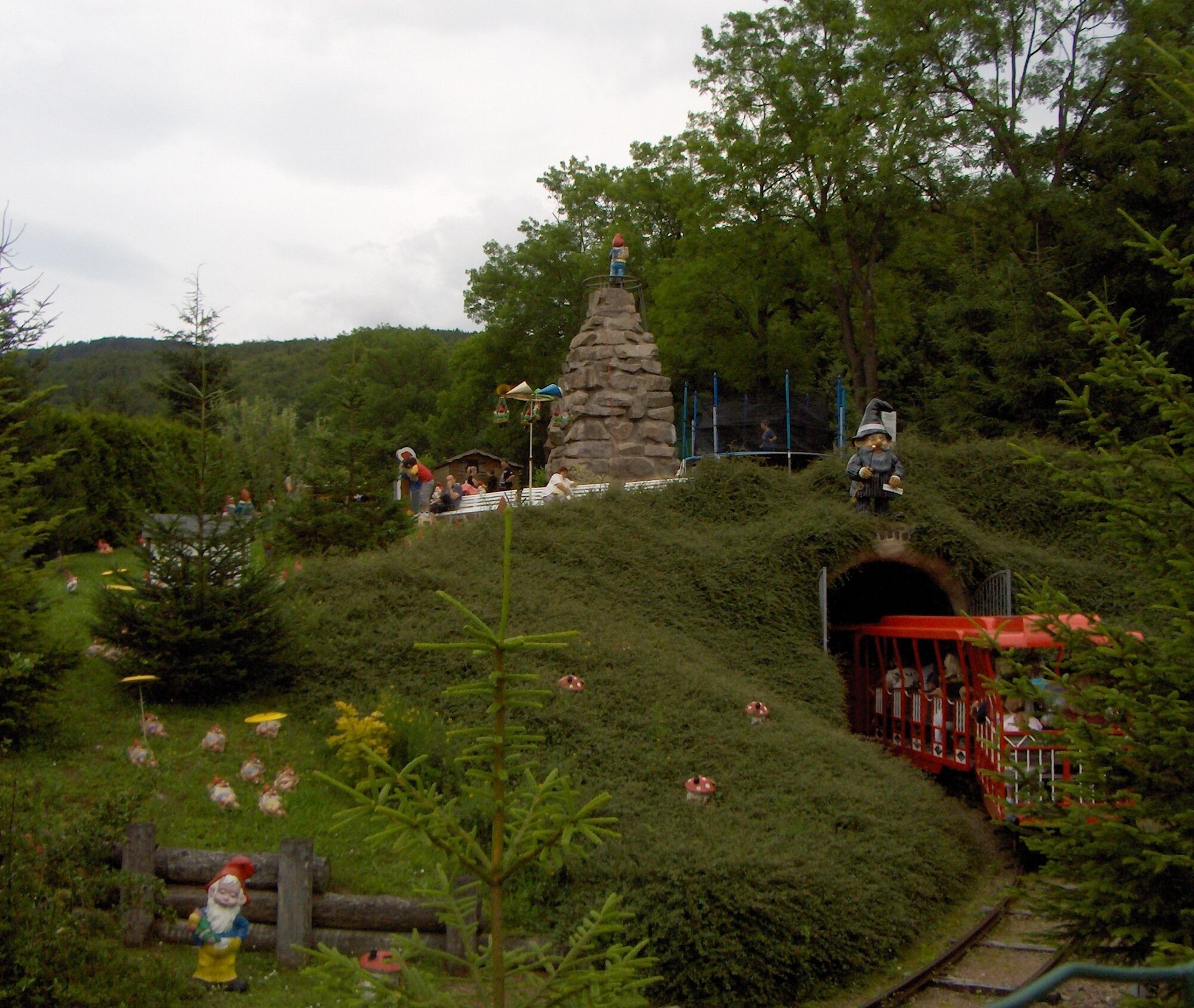
The path now goes along the waterfall ditch. After about 500 m, you cross the street and continue in the forest above the former ore mine, passing by the Halbstein, a geological natural monument. The hike continues towards the Central building, a lonely house between Brotterode and Trusetal. Upon arrival at the Central, you have completed a little more than half. The hiking trail then leads you via a meadow valley towards the Dwarf Park and the Waterfall parking lot.
Of course, the circular hiking route can also be walked in the opposite direction. In this direction, you also have the opportunity to make a detour to the beautifully designed sound path Trusetal.

Waterfall parking lot – Waterfall (0.3 km) – Waterfall ditch (0.4 km) – Former ore mine (1.1 km) – Hübelsberg (1.8 km) – Halbstein (2.1 km) – Central building, inflow waterfall ditch (2.5 km) – back to starting point (4.7 km)
Marking: Blue 4
Ja
Ja
Sturdy footwear
Drink reserve
First aid kit
GPS navigation device or smartphone
Please watch children carefully when climbing the waterfall, as the steps are of different heights!
Please observe the typical dangers of the forest!
Walking is at your own risk!
We wish you a relaxing and eventful hike!
From the A4, take exit 41a (Waltershausen), then continue on L1027 towards Bad Tabarz and then via Inselsbergstraße to Brotterode-Trusetal.
You can reach Trusetal on weekdays with Bus line 445 from Schmalkalden direction (connection to Deutsche Bahn). Simply use the following link for travel planning:
→ Travel to Brotterode/Trusetal
Just add your desired travel date and starting point.
Trusetal Waterfall, village square Laudenbach, Hohe Klinge (Google NAV point)
Trusetal Waterfall
Populära turer i närområdet
-
4,3
Summit and panoramic route - Route 1 - Bad Tabarz
MediumVandring 10,9 km -
3,8
Wanderung zum Spitterfall
MediumVandring 14,6 km -
4,0
Circular route - Spießberghaus - Friedrichroda - Thuringian Forest
MediumVandring 10,7 km -
3,2
Von Friedrichroda zum großen Inselsberg
MediumVandring 22,4 km -
4,4
Circular hike "Old Tambach Dam", Tambach-D., Thuringian Forest
MediumVandring 9,54 km -
4,0
Circular Hike - "Culture-Nature" - Bad Liebenstein - Thuringian Forest
MediumVandring 10,8 km -
Rundwanderweg - Marienglashöhle - Friedrichroda - Thüringer Wald
ljusVandring 5,29 km -
4,0
Circular hiking trail - "Große Bermerrunde" - Ruhla - Thuringian Forest
ljusVandring 8,14 km -
Rennsteig stage run - 1st stage Hörschel - Grenzwiese
tungTrail running 34,2 km -
3,5
Backofenloch circular route - route 6 - Bad Tabarz
MediumVandring 8,95 km
Vandring och spårning


Missa inte erbjudanden och inspiration inför nästa semester
Din e-postadress har lagts till på e-postlistan.