


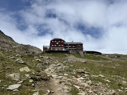
Three Huts Route - Breslauer Hut, Vernagthütte, Hochjoch Hospiz


Foton av våra användare
-
 © Sabrina HackelSkapad på 20.09.2025
 -
 © Sabrina HackelSkapad på 18.09.2025
 -
 © Sabrina HackelSkapad på 15.09.2025
 -
 © okidoki1980Skapad på 11.08.2025
 -
 © okidoki1980Skapad på 11.08.2025
 -
 © okidoki1980Skapad på 11.08.2025
 -
 © okidoki1980Skapad på 11.08.2025
 -
 © okidoki1980Skapad på 09.08.2025
 -
 © okidoki1980Skapad på 09.08.2025
 -
 © okidoki1980Skapad på 09.08.2025
 -
 © Jonas KaufmannSkapad på 03.08.2025
 -
 © Jonas KaufmannSkapad på 03.08.2025
 -
 © Jonas KaufmannSkapad på 03.08.2025
 -
 © Jonas KaufmannSkapad på 03.08.2025
 -
 © Jonas KaufmannSkapad på 03.08.2025
 -
 © Jonas KaufmannSkapad på 31.07.2025
 -
 © Wine ConsultancySkapad på 30.06.2025
 -
 © Wine ConsultancySkapad på 30.06.2025
 -
 © Wine ConsultancySkapad på 30.06.2025
 -
 © Wine ConsultancySkapad på 30.06.2025
 -
 © Wine ConsultancySkapad på 30.06.2025
 -
 © Wine ConsultancySkapad på 30.06.2025
 -

 © Marion FalknerSkapad på 22.03.2025
 -
 © Marion FalknerSkapad på 22.03.2025
 -

 © Andreas SchlosserSkapad på 20.07.2023
 -
 © Andreas SchlosserSkapad på 20.07.2023
 -
 © Andreas SchlosserSkapad på 20.07.2023

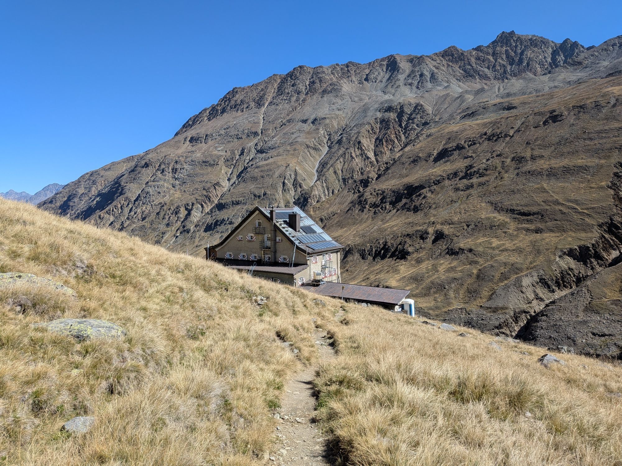
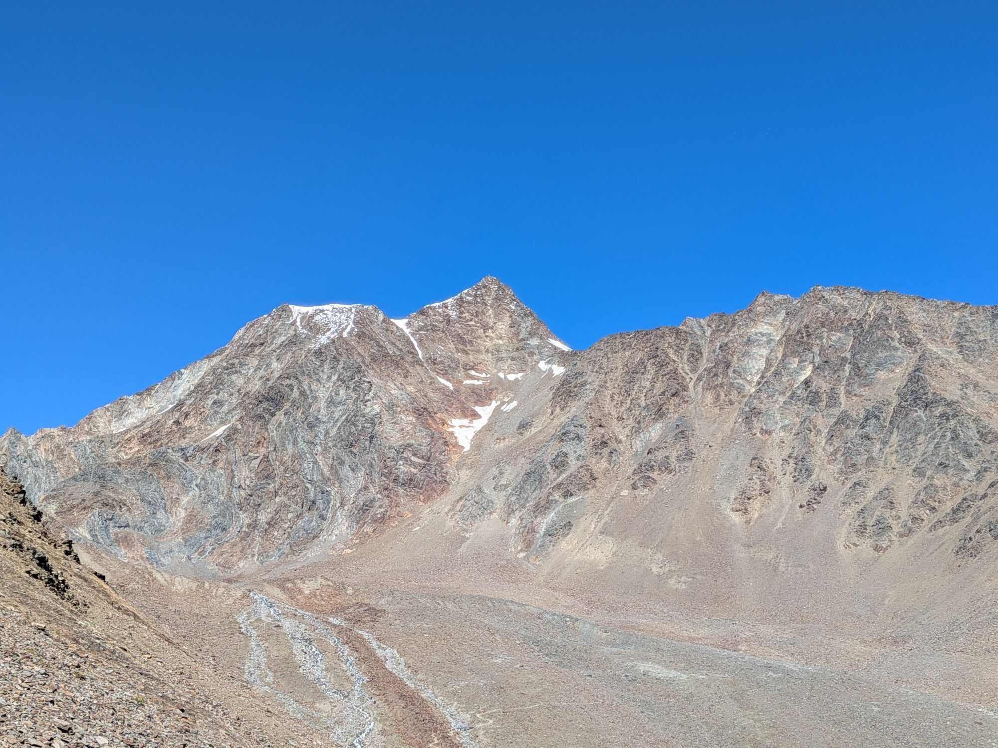
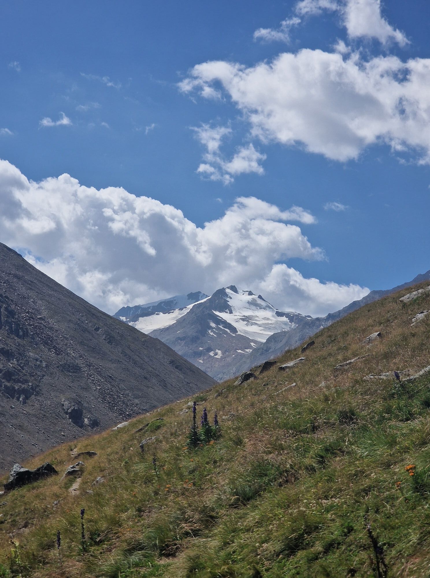
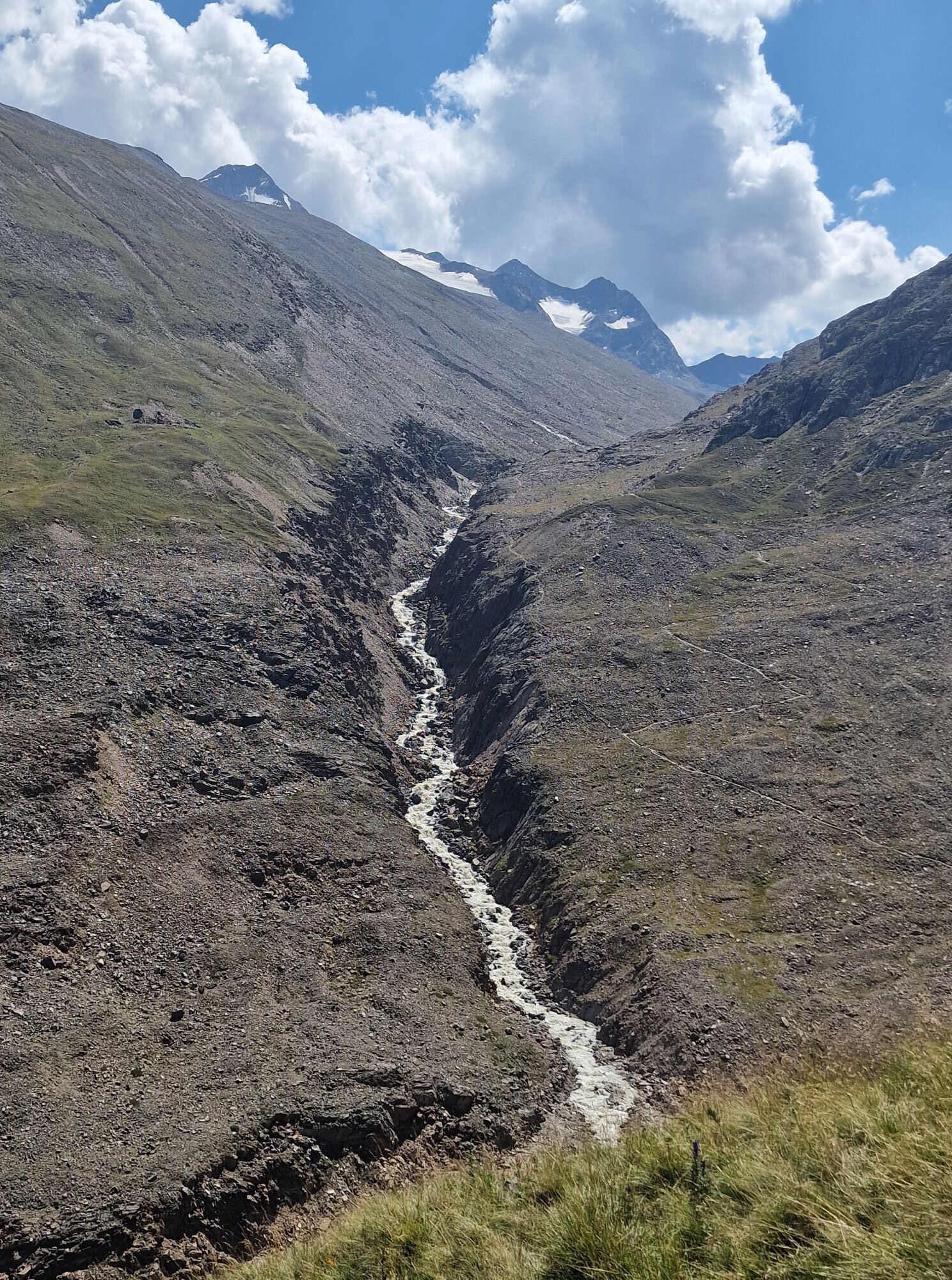
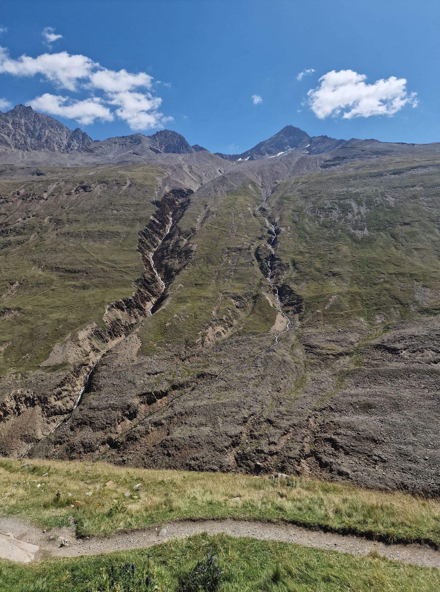

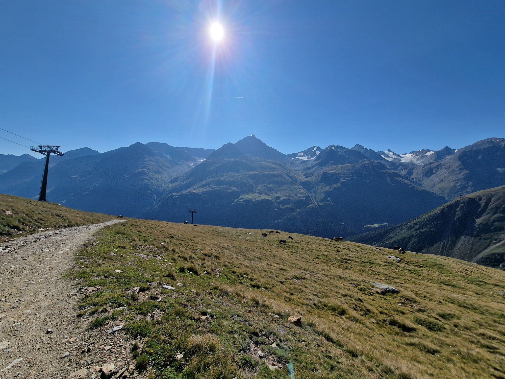
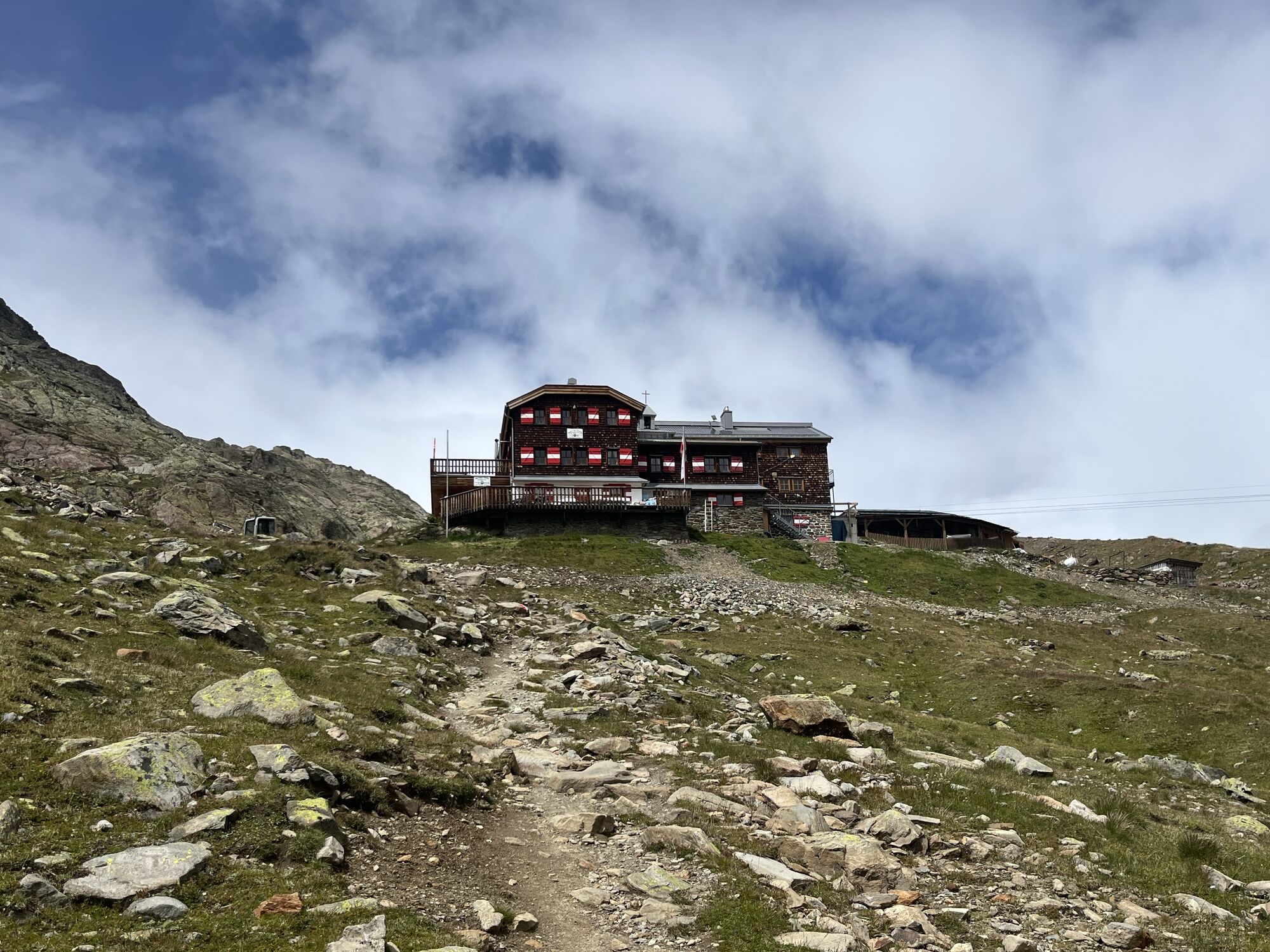
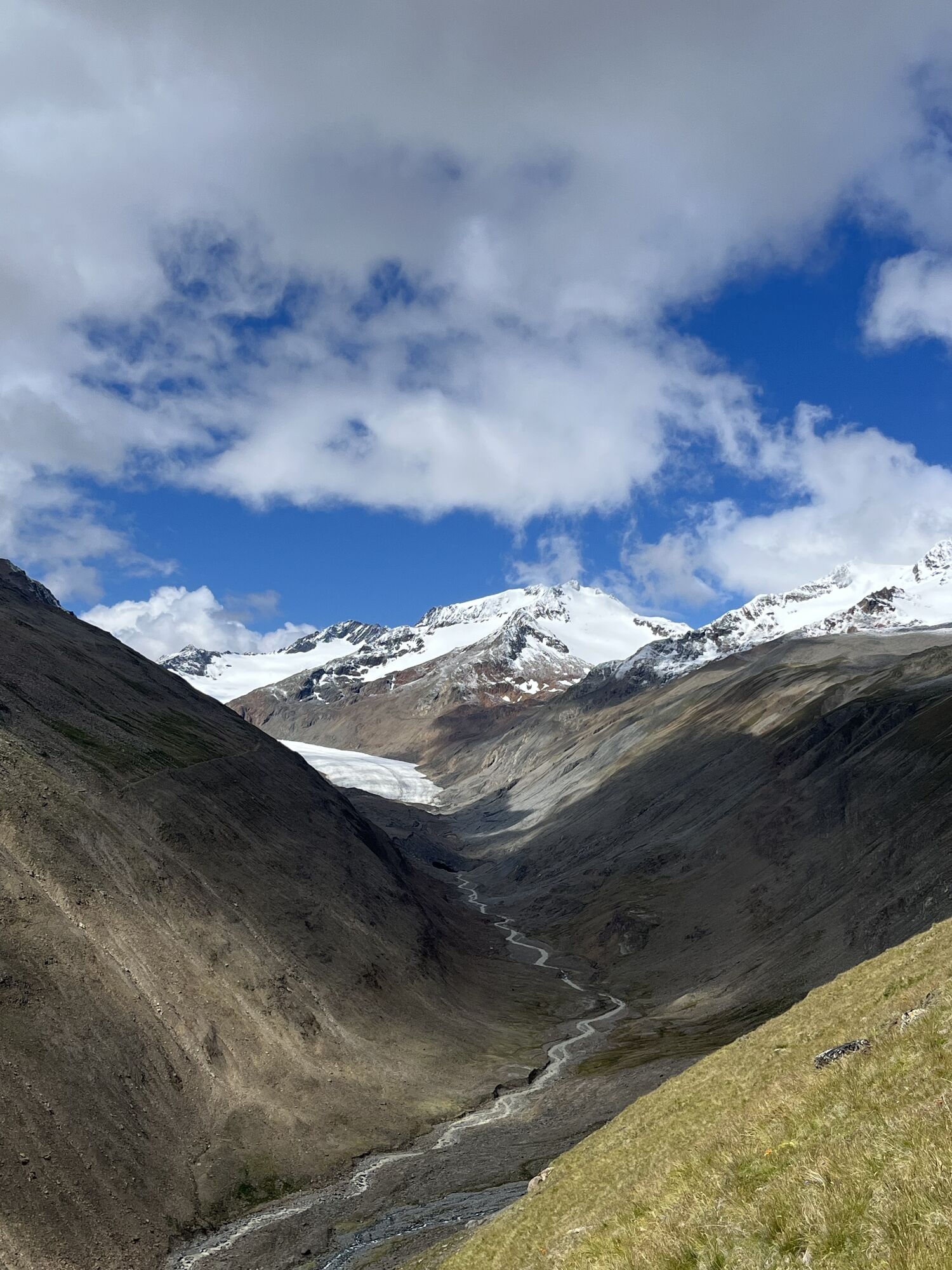
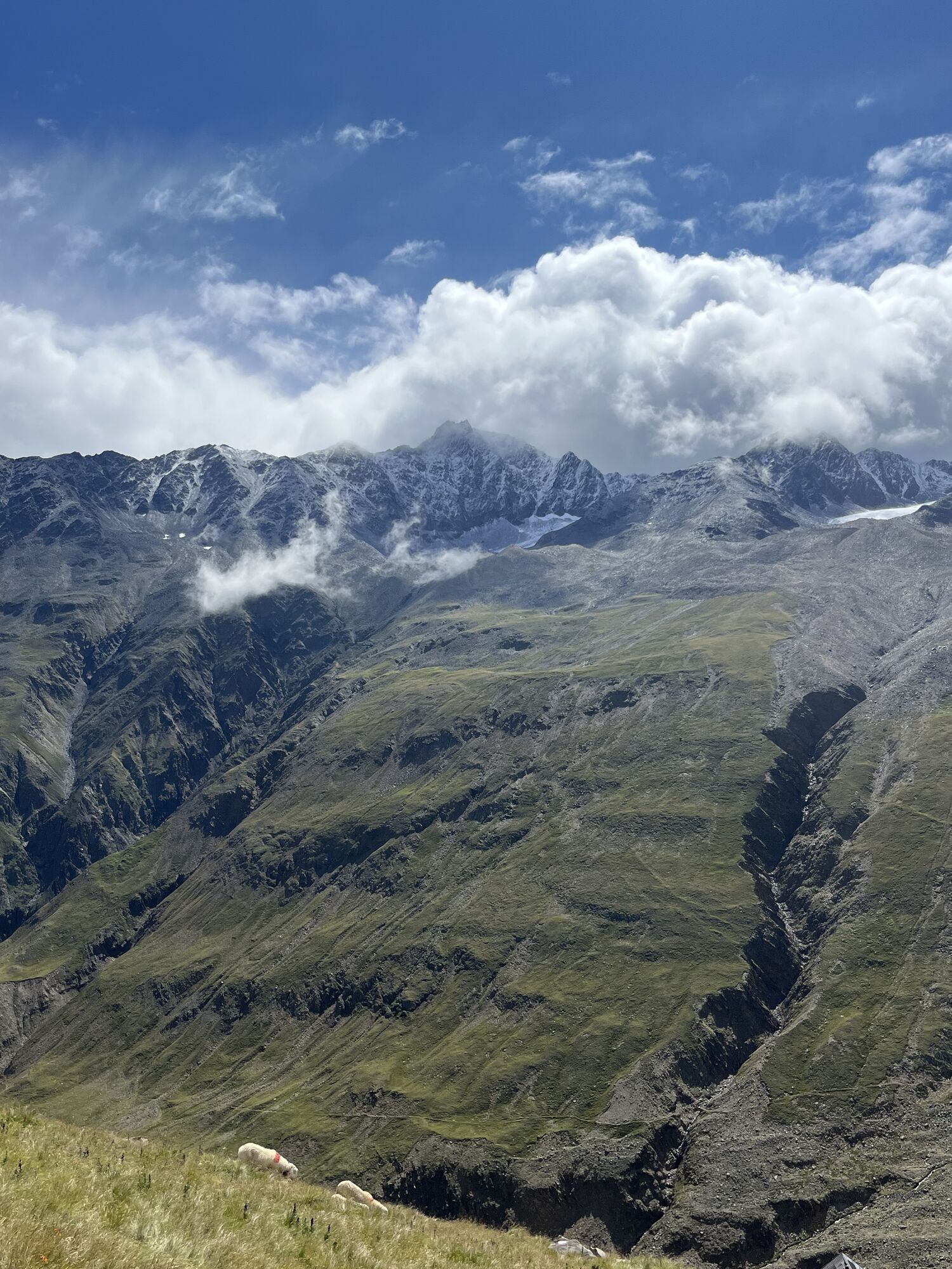


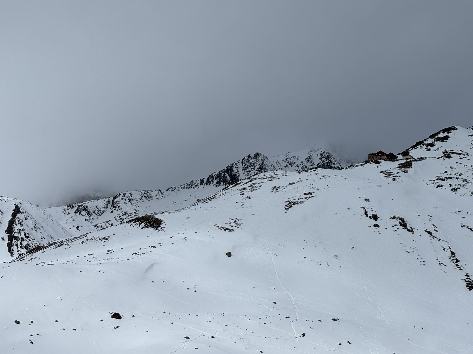

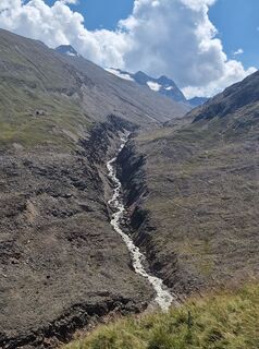
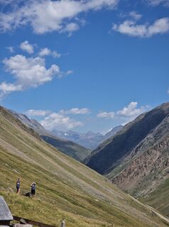
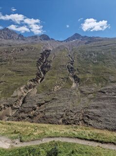
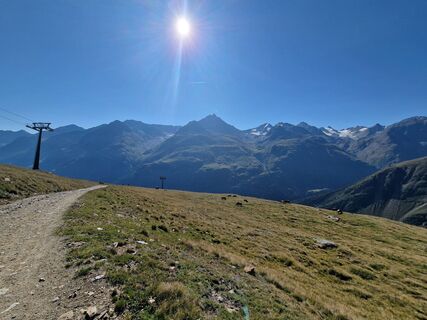
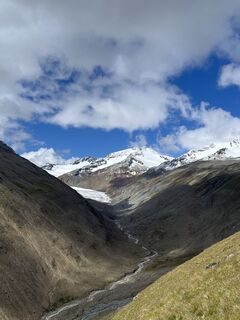
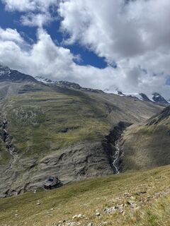
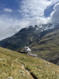
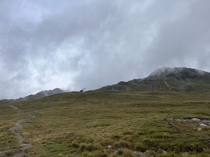
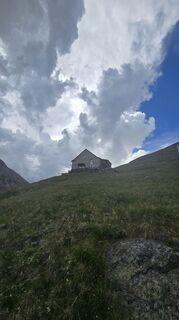
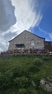
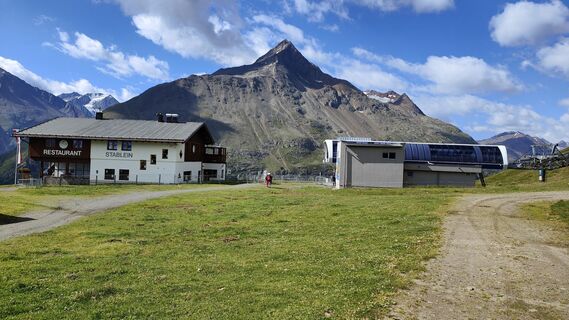
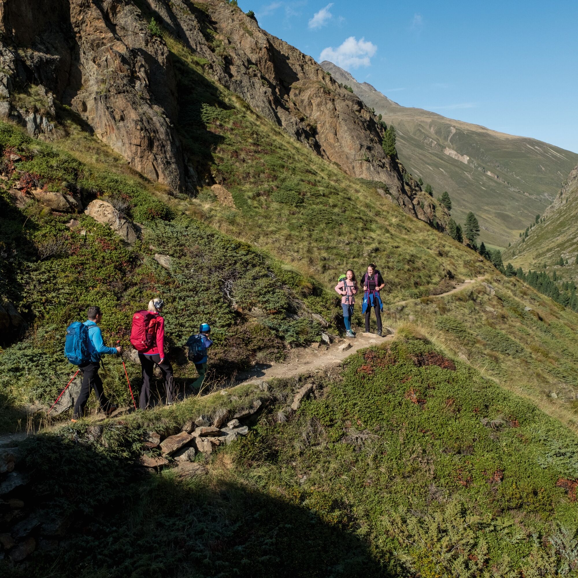
Via the Seufertweg without significant ascent into the Vernagtbachtal. From there up to the Vernagthütte. On an easy path to the Hochjoch Hospiz.

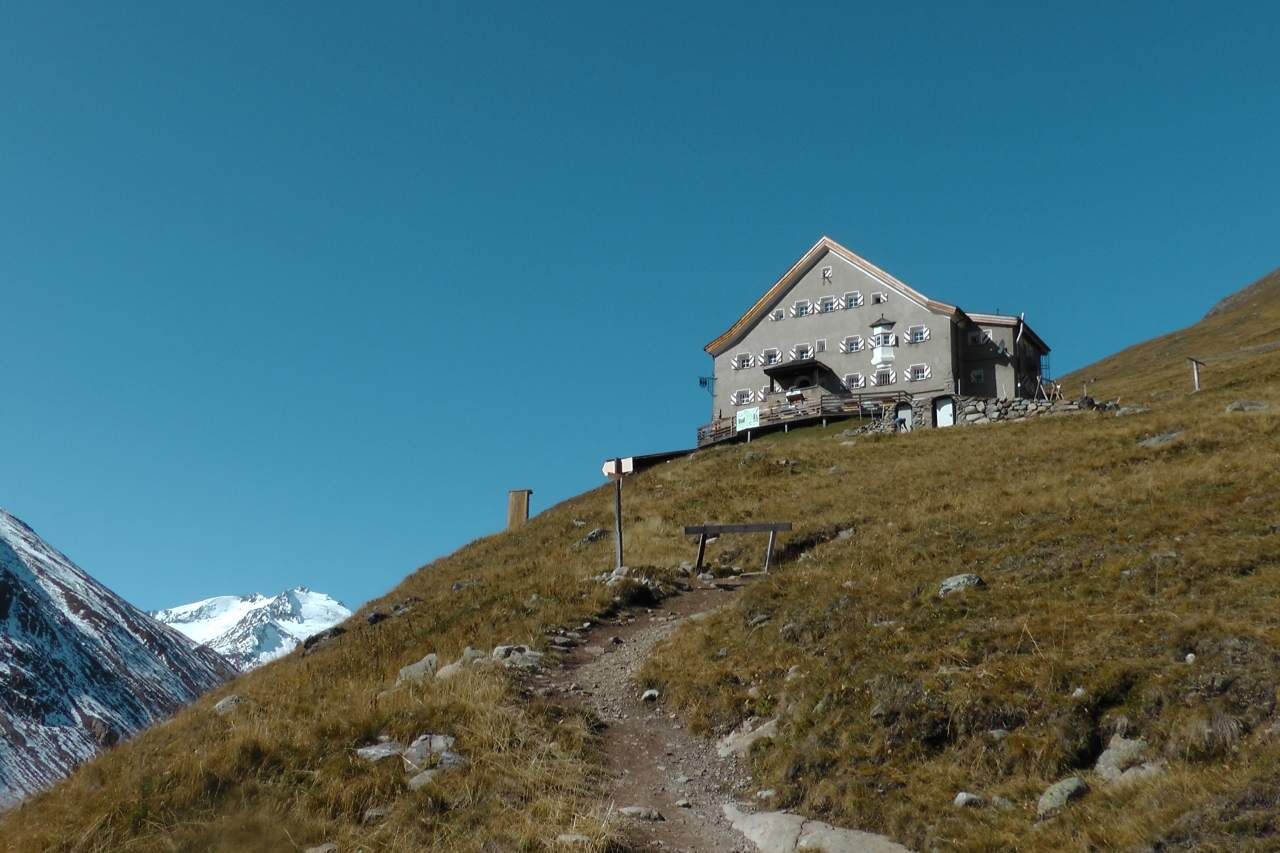
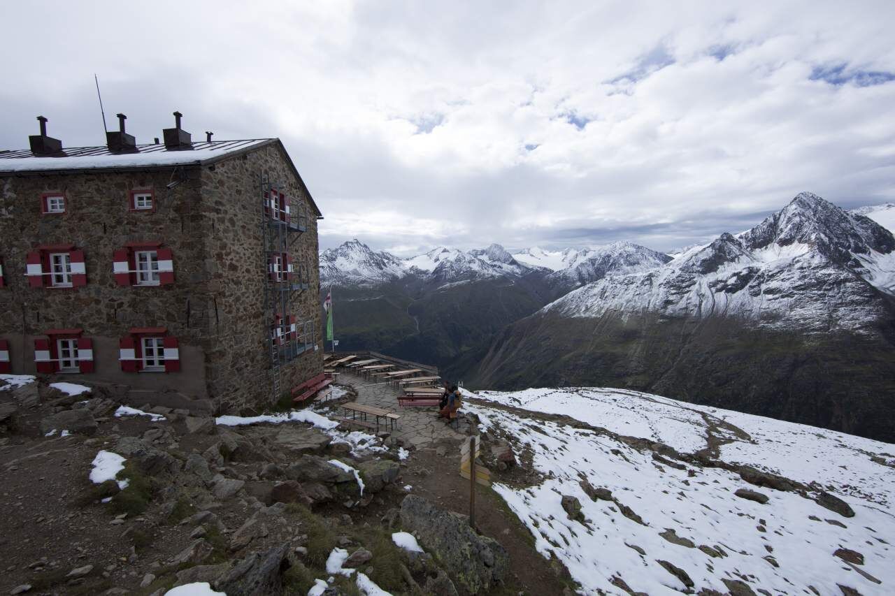
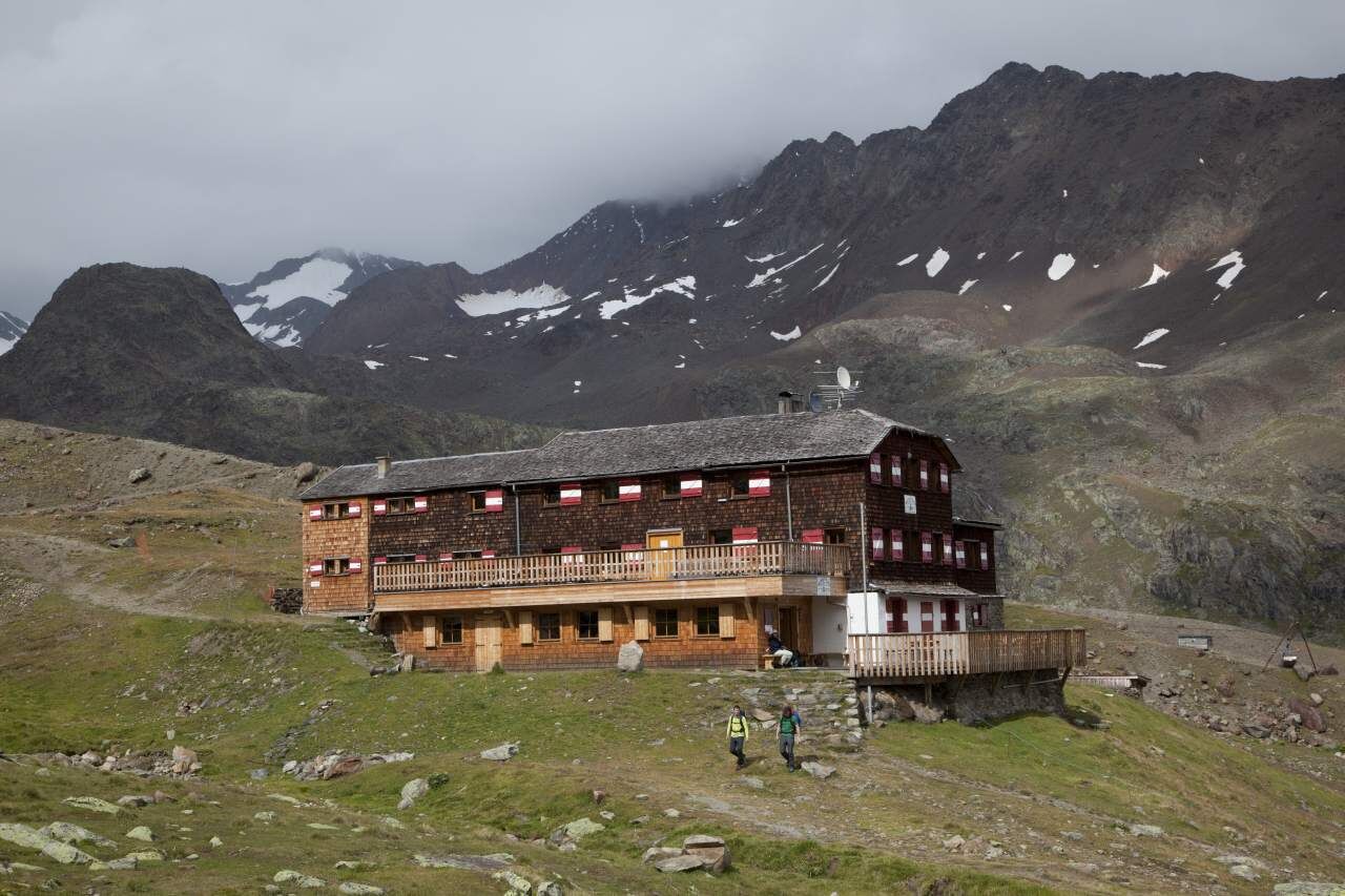
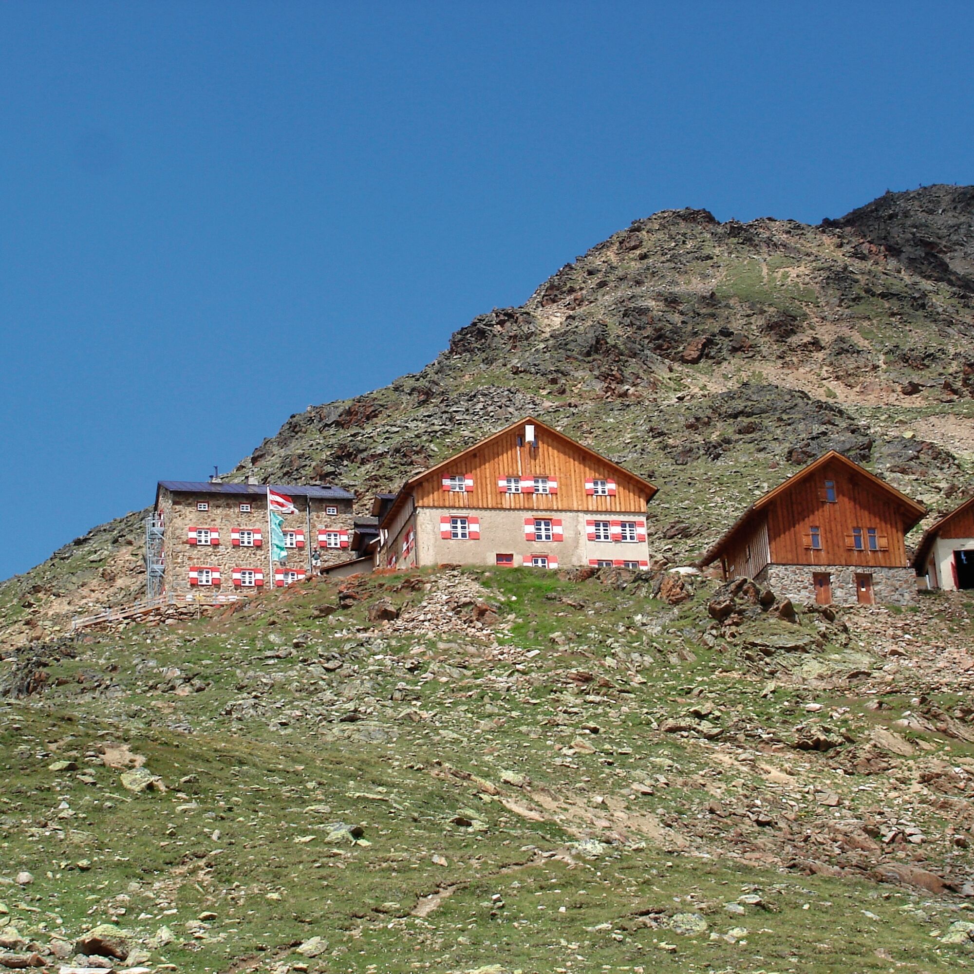
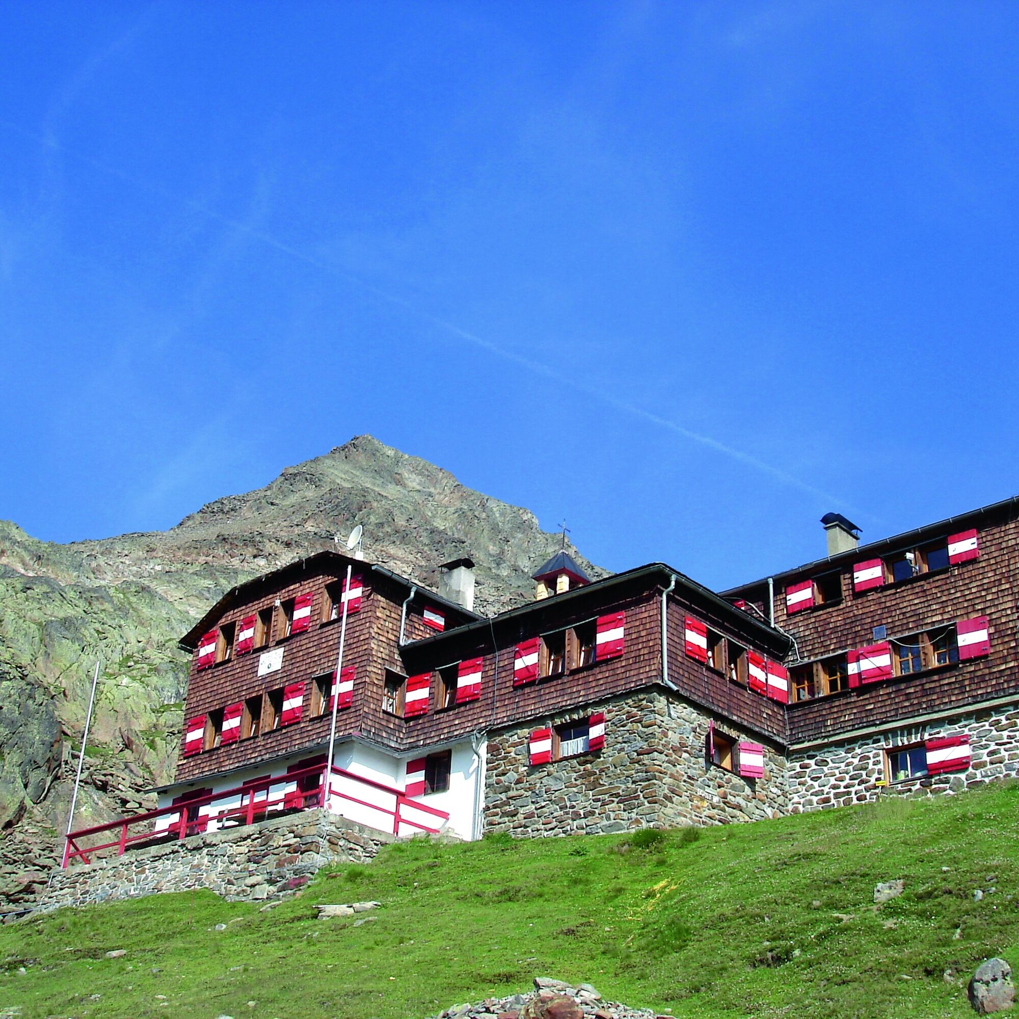
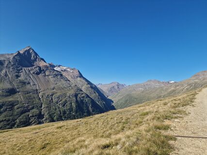
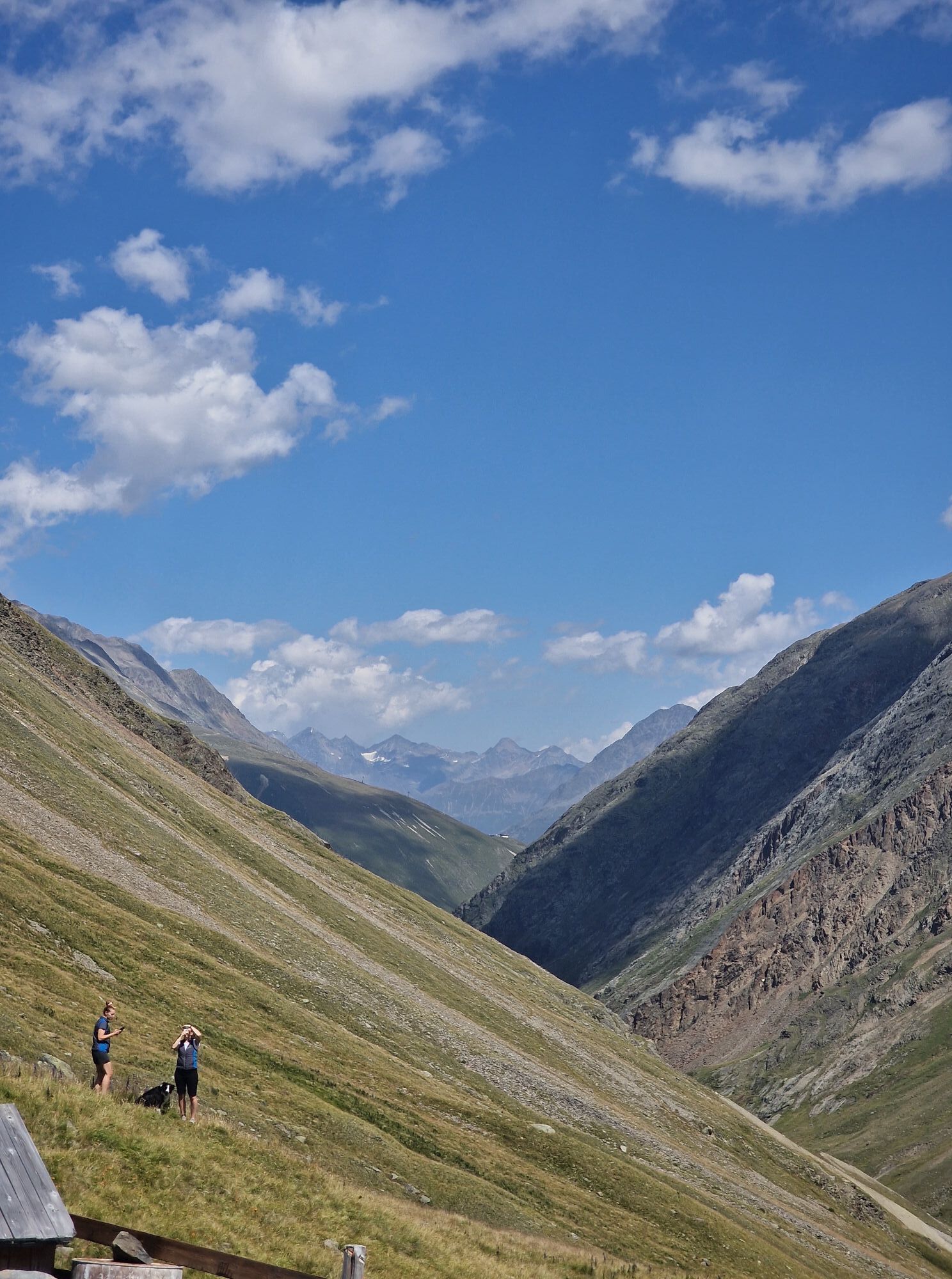
Breslauer Hut - onward to Vernagthütte (2,755 m) - to Hochjoch Hospiz (2,413 m) - overnight stay, walking time: total approx. 4 ½ hours (extension of the route: Vernagthütte – via the Middle Guslarspitze 3126 m 1 ½ h to Hochjoch Hospiz 2 h)
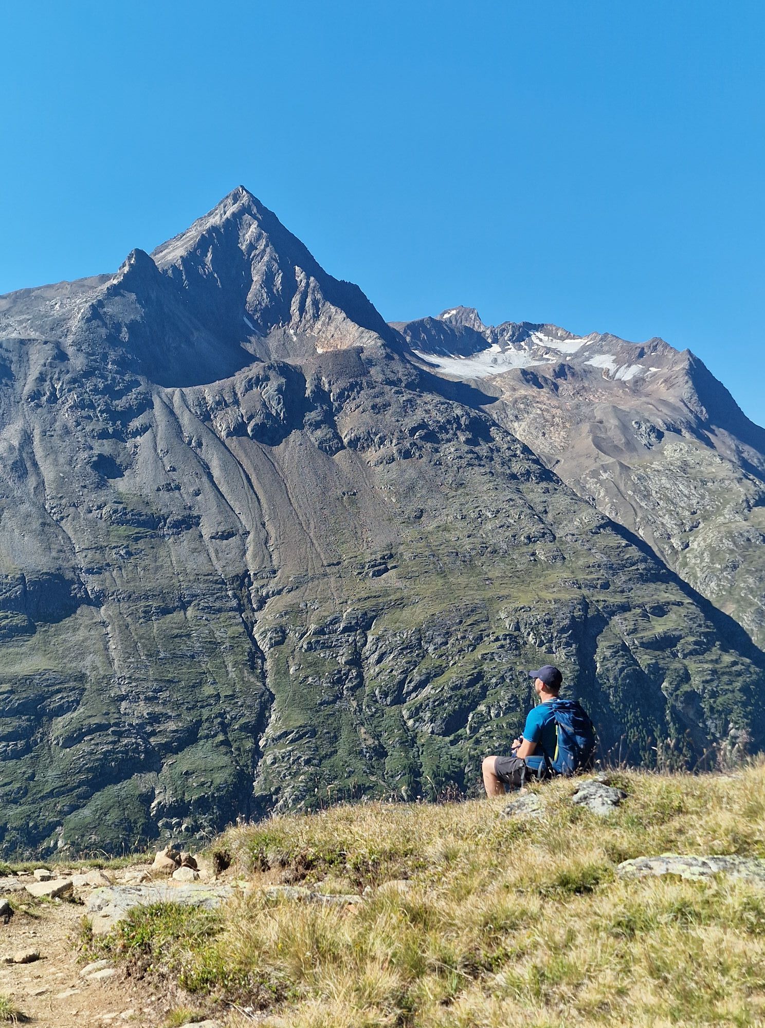
Wearing hiking equipment such as breathable and weather-appropriate outdoor clothing, ankle-high hiking boots, wind, rain and sun protection, a hat, and possibly gloves is recommended! It is also important to bring sufficient food, a first aid kit, a mobile phone, and optionally a hiking map.
Vent is located in western Austria in the state of TIROL, in a southern side valley of the Inn Valley – the ÖTZTAL. For your arrival by car, plan the optimal route from your home location easily online with the route planner: https://www.google.at/maps
Travel comfortably and safely by train to the Ötztal train station. The final stop or exit point is the ÖTZTAL station. Afterwards, you can travel conveniently and quickly by public transport or local taxi companies through the whole valley to your desired destination! The current bus timetable is available at: http://fahrplan.vvt.at
In the mountaineering village Vent, the following parking options are available to you.
- In summer, in front of the village (parking meter, coins or EC card only) and at the valley station of the chairlift (at the ticket office of the cable cars)
- In winter, only at the valley station of the chairlift
Cost: € 5.00 per day/car
Populära turer i närområdet
-
3,1
Tiefenbachglacier - Mountaineering Village Vent
MediumVandring 10,8 km -
4,3
Vorderkaser - Eishof / Texelgruppe
ljusVandring 4,83 km -
4,2
Rundweg Vernagter See plus Einkehr Finailhof
MediumVandring 8,73 km -
4,0
Vernagt-Stausee (Seerundgang)
ljusVandring 6,70 km -
5,0
Kreuzspitze
tungVandring 11,6 km -
4,5
Vent - Wilder Mann - Breslauer Hütte - Stableinalm
MediumVandring 7,25 km -
5,0
From Vent to the Similaun at 3,606 m
tungHög tur 29,2 km -
4,5
Nederkogl
tungVandring 6,22 km -
4,8
Vent - Martin Busch Hut - Similaun Hut
MediumVandring 13,7 km -
4,5
Lake Gaislachsee
MediumVandring 4,04 km

Vandring och spårning


Missa inte erbjudanden och inspiration inför nästa semester
Din e-postadress har lagts till på e-postlistan.