


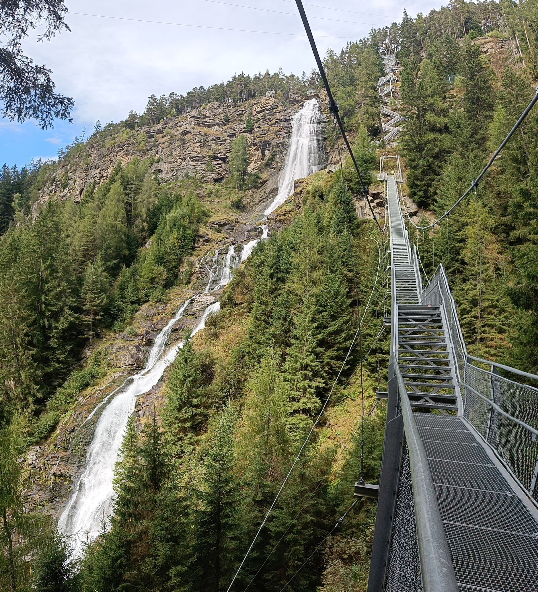
Gravelbike Tour Ötztal Lite with Stuibenfall view


Foton av våra användare
-
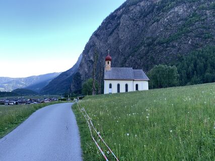
 © Christian FreythalerSkapad på 20.09.2025
 -
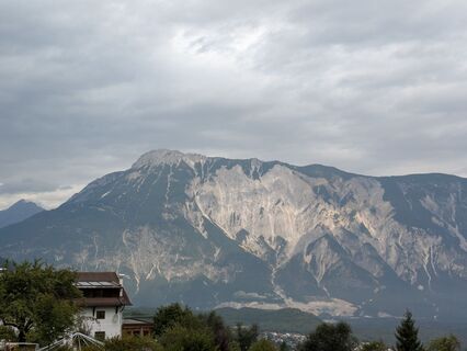
 © Martin GlaserSkapad på 28.08.2025
 -
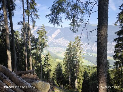
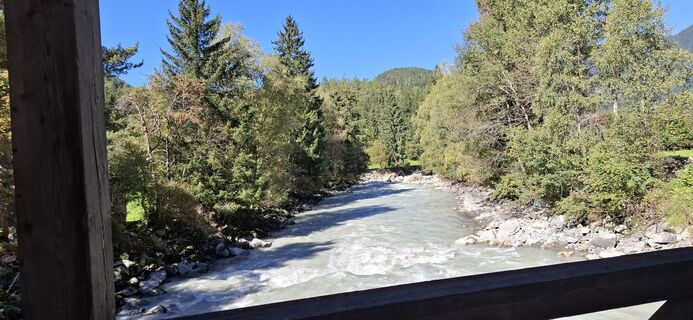
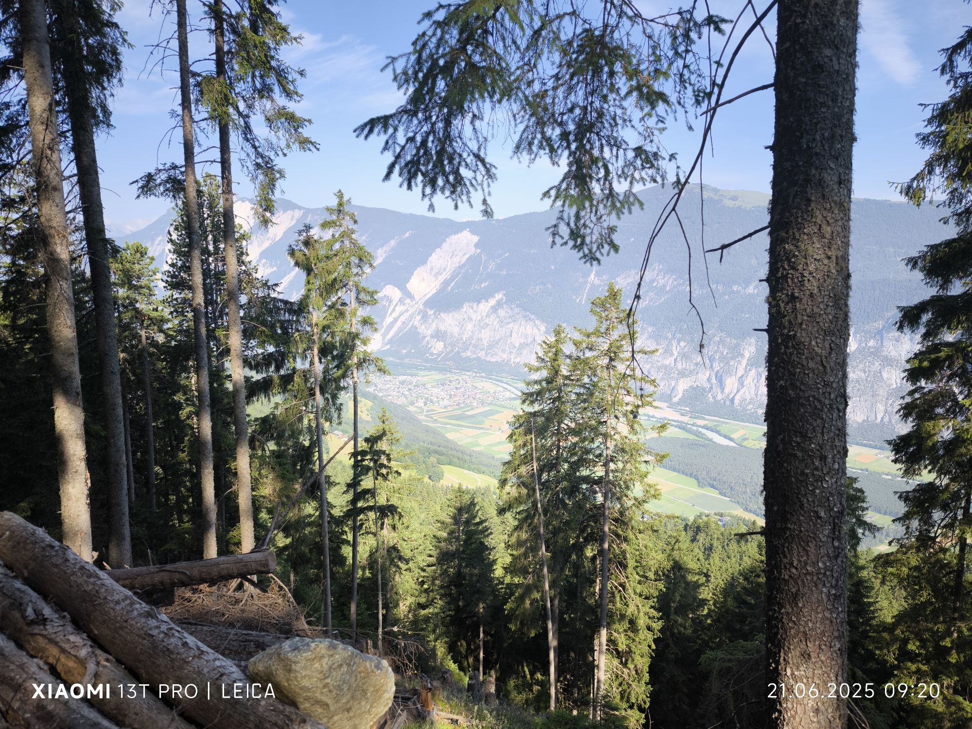
 © Karl-HeinzSkapad på 21.06.2025
 -
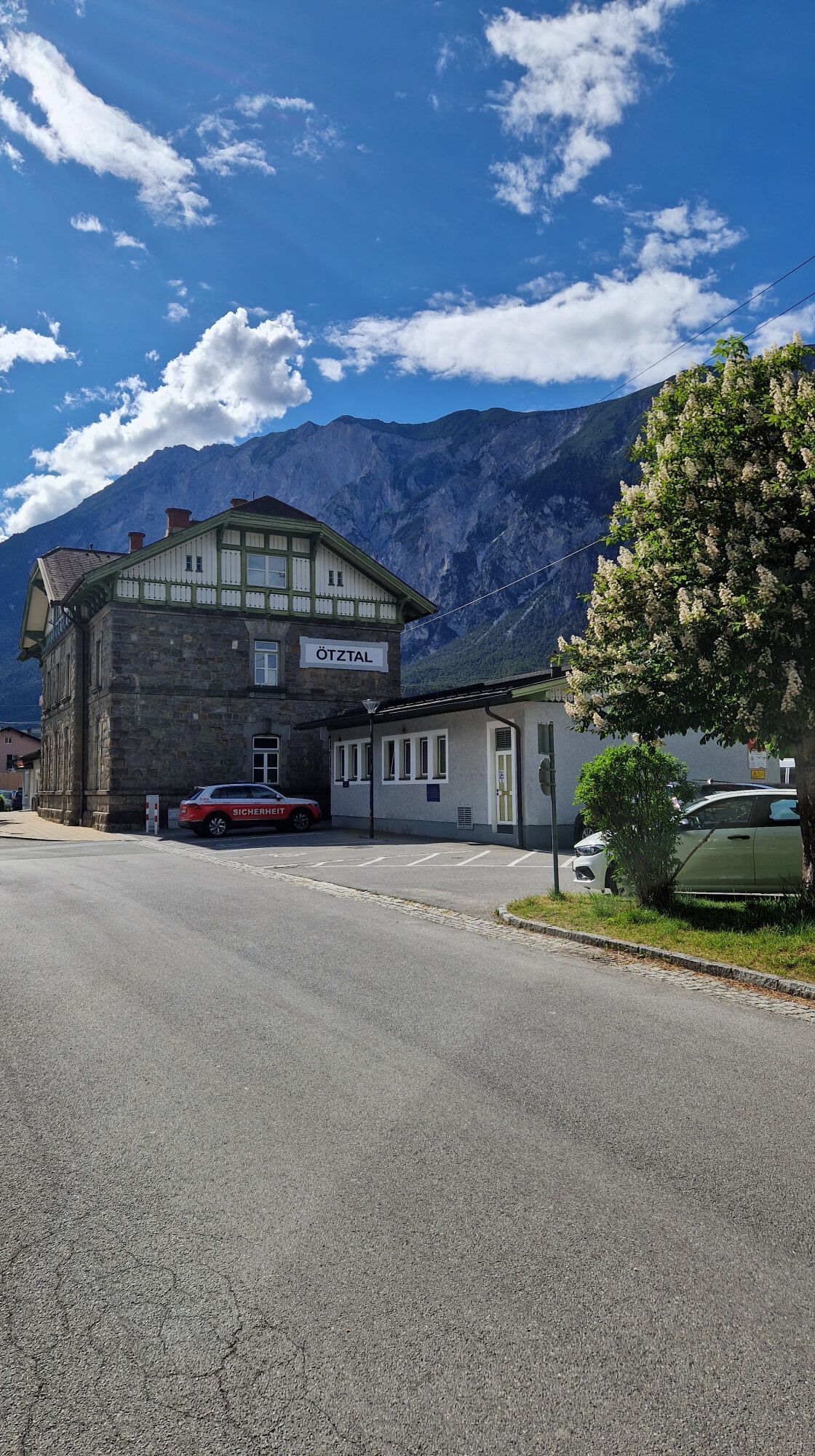
 © Christian FreythalerSkapad på 31.05.2025
 -
 © Werner FögerSkapad på 19.05.2025
 -
 © Kati G.-M.Skapad på 11.05.2025
 -
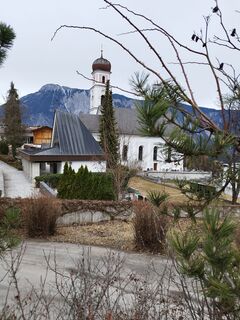
 © Herbert RiederSkapad på 11.03.2025
 -
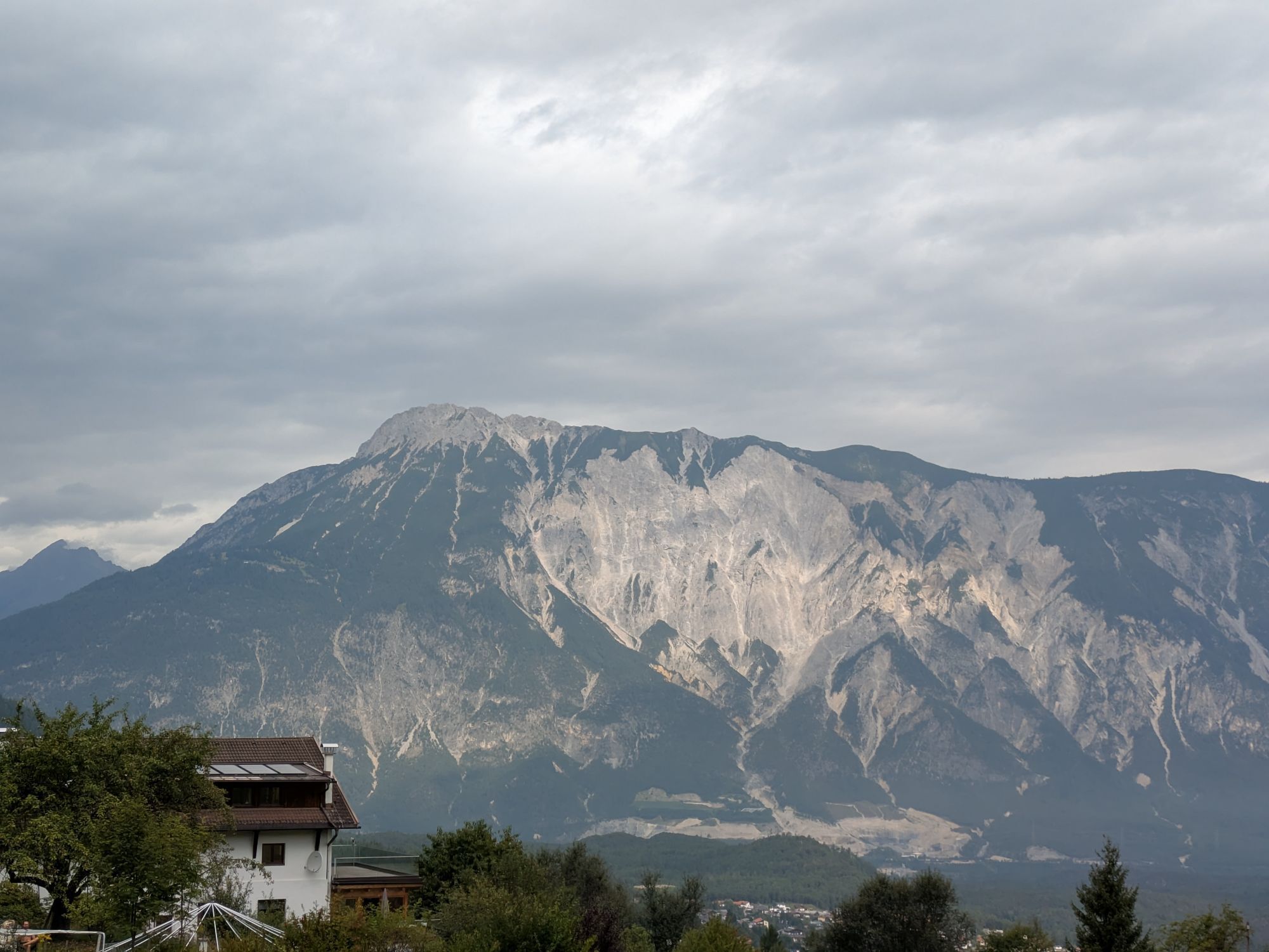
 © Karl-HeinzSkapad på 22.10.2024
 -
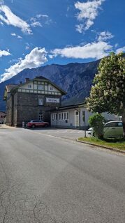
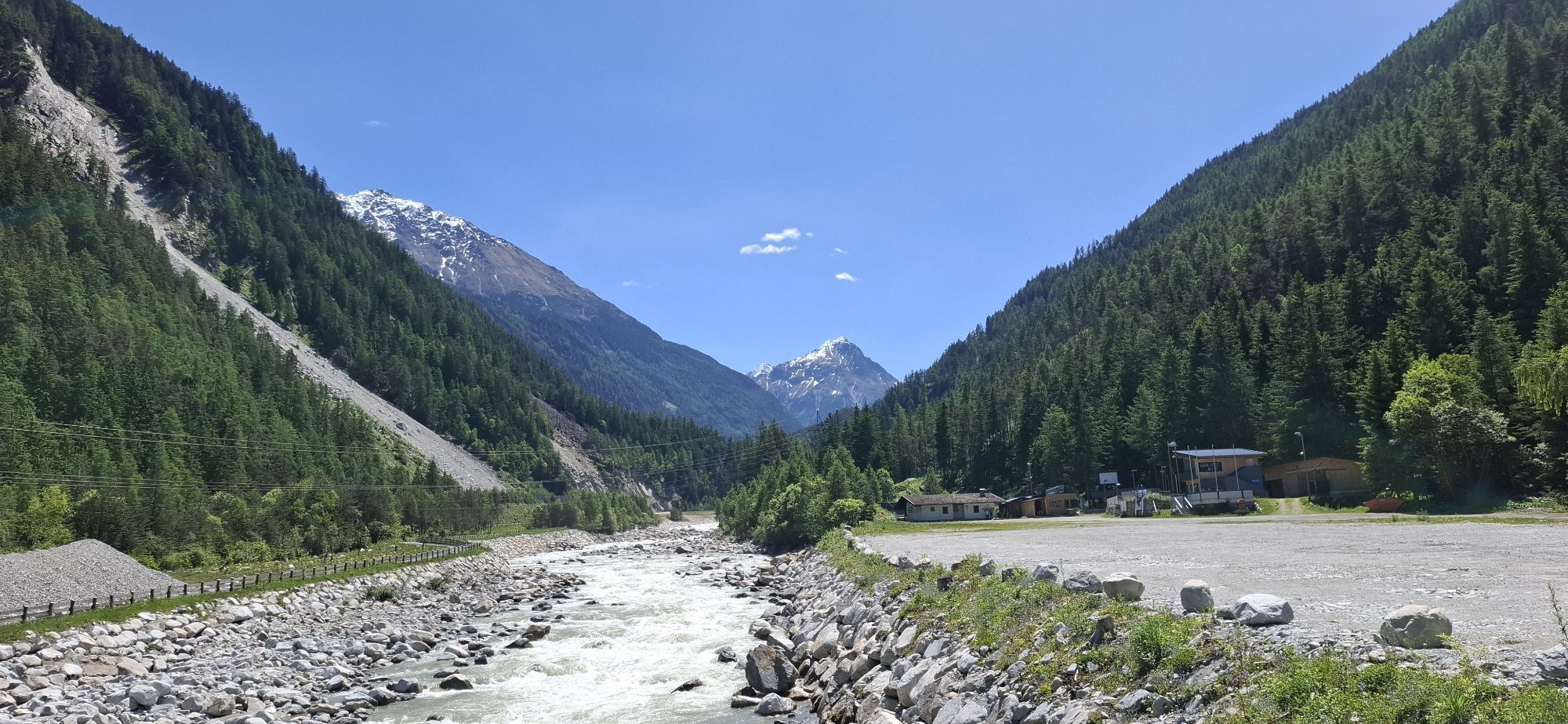
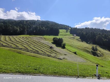 © Karl-HeinzSkapad på 29.08.2024
 -
 © Karl-HeinzSkapad på 29.08.2024
 -
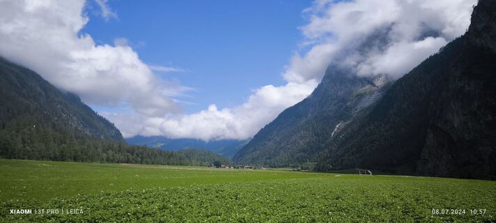
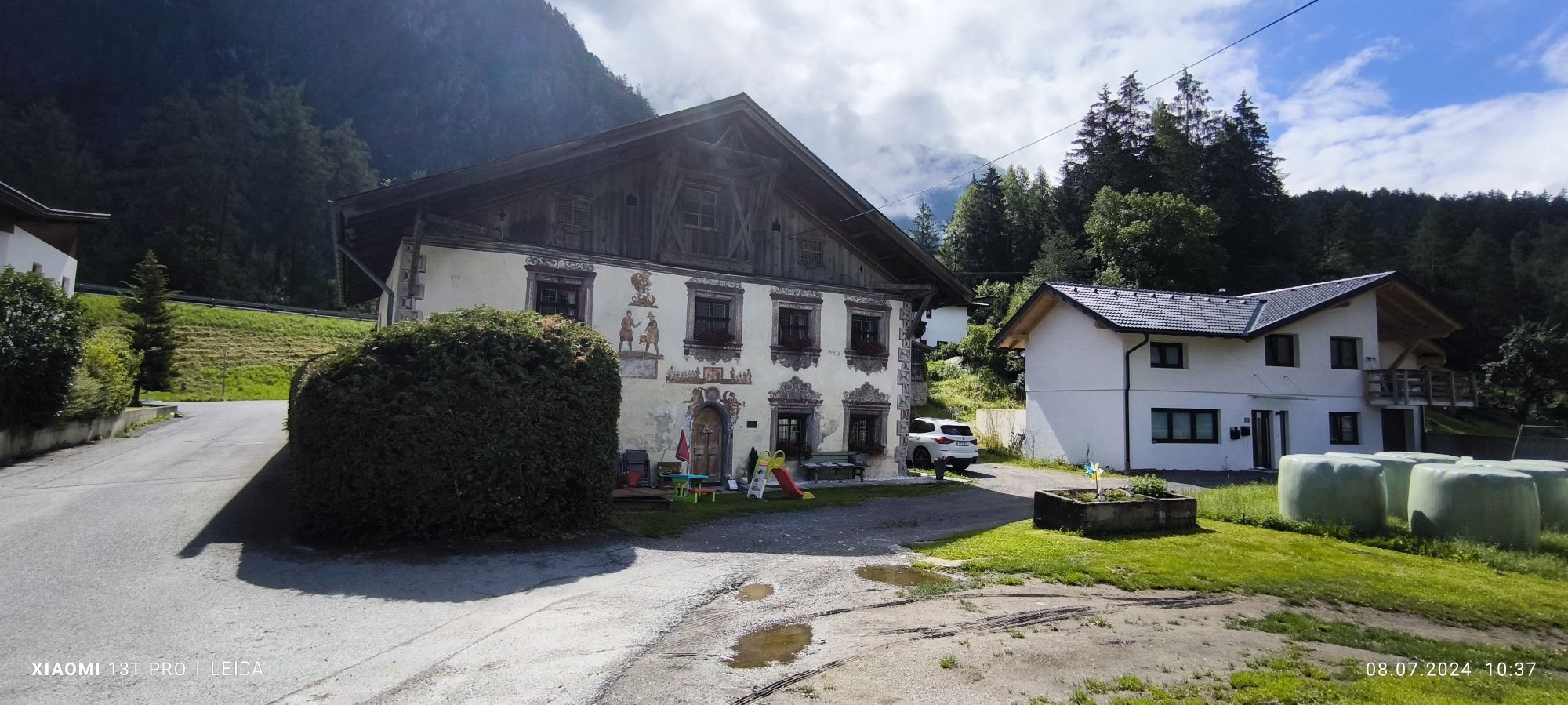
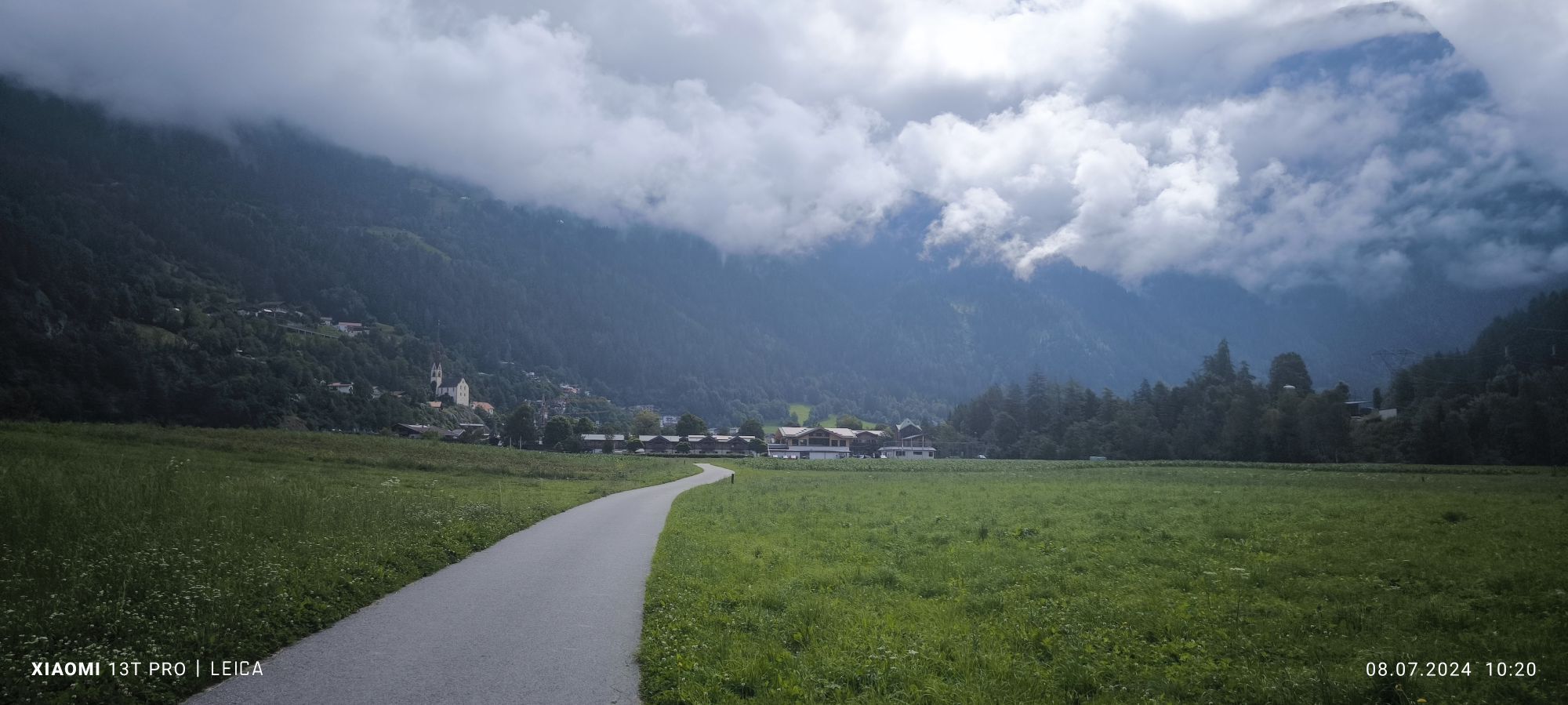
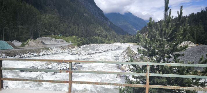 © Karl-HeinzSkapad på 08.07.2024
 -
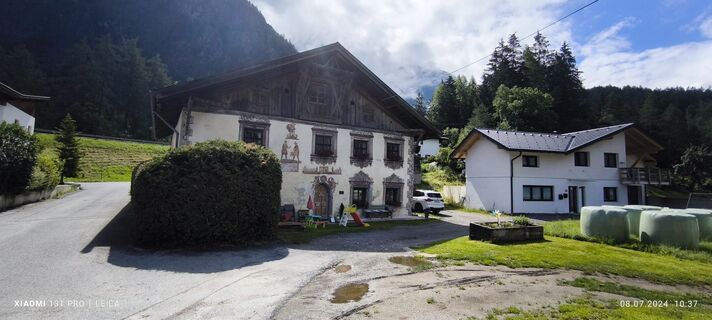
 © Karl-HeinzSkapad på 08.07.2024
 -
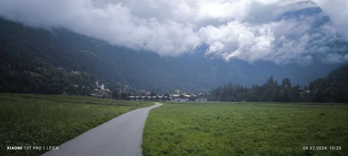
 © Karl-HeinzSkapad på 08.07.2024
 -
 © Karl-HeinzSkapad på 08.07.2024
 -
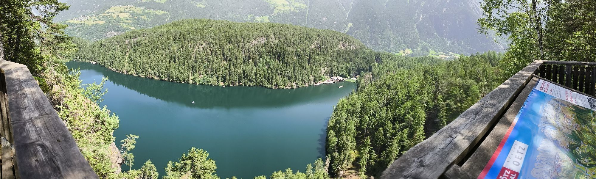
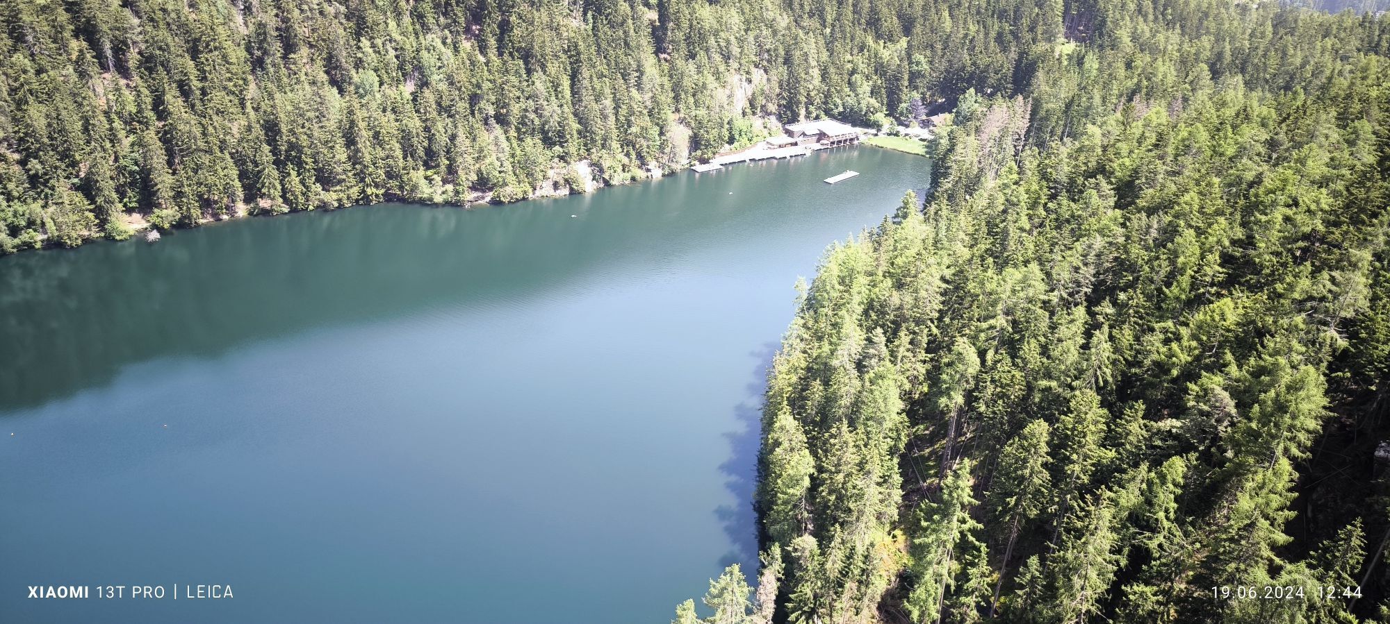
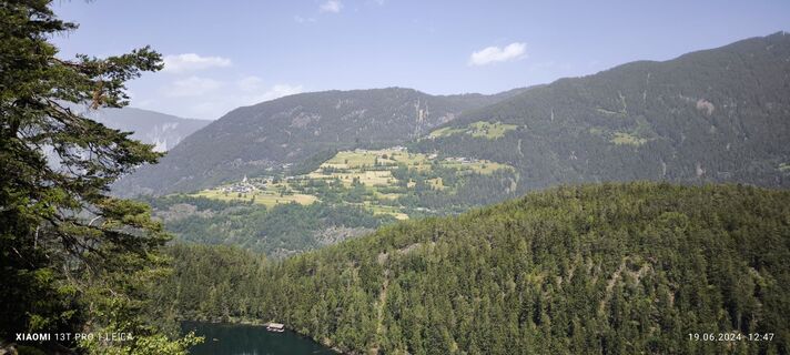 © Karl-HeinzSkapad på 19.06.2024
 -
 © Karl-HeinzSkapad på 19.06.2024
 -
 © Karl-HeinzSkapad på 19.06.2024
 -
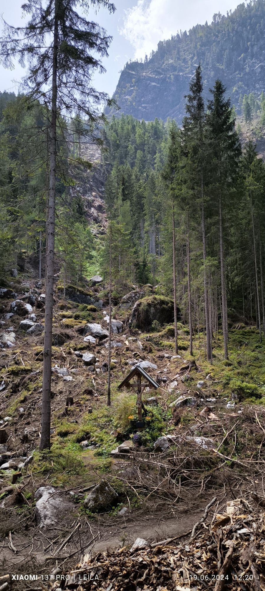
 © Karl-HeinzSkapad på 19.06.2024
 -
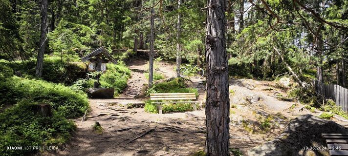
 © Karl-HeinzSkapad på 19.06.2024
 -

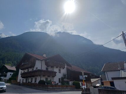
 © Ronald CapelSkapad på 26.09.2025
 -
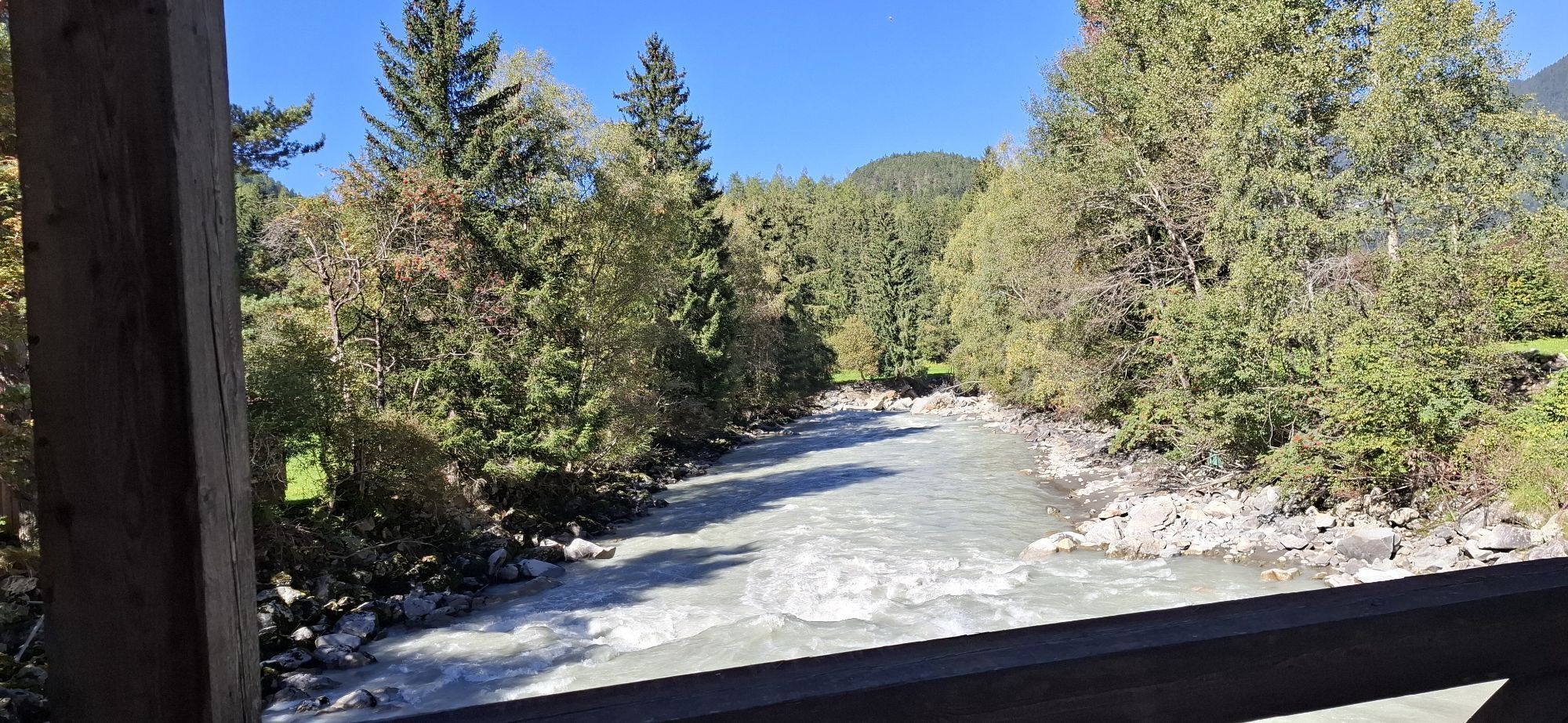
 © Jörg KleySkapad på 17.06.2025
 -
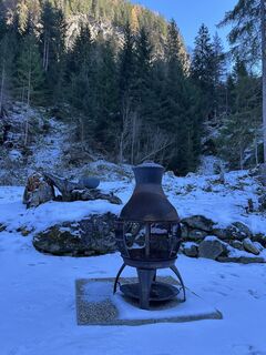
 © Martin HudelistSkapad på 25.11.2024
 -
 © Martin HudelistSkapad på 25.11.2024


our Description The starting and finishing point of this round tour is Ötztal train station. From here, follow the cycle path gently uphill to Oetz. Continue riding deeper into the valley on the well-maintained...
our Description The starting and finishing point of this round tour is Ötztal train station. From here, follow the cycle path gently uphill to Oetz. Continue riding deeper into the valley on the well-maintained trail until you reach Umhausen. In the village center (Mure car park), head towards the church, turn left before the bridge into Sandgasse, and follow the Horlachbach stream to a junction. Take the middle road and stay on Sandgasse. At the end of the village, turn left onto a path that soon turns into a gravel track and continue until you reach Stuböbele. Leave your bike at the bridge and walk the last few meters to the impressive Stuibenfall waterfall.
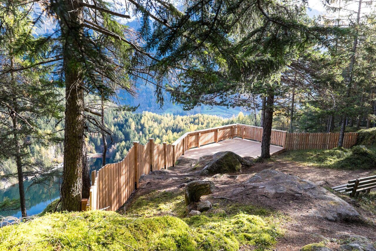
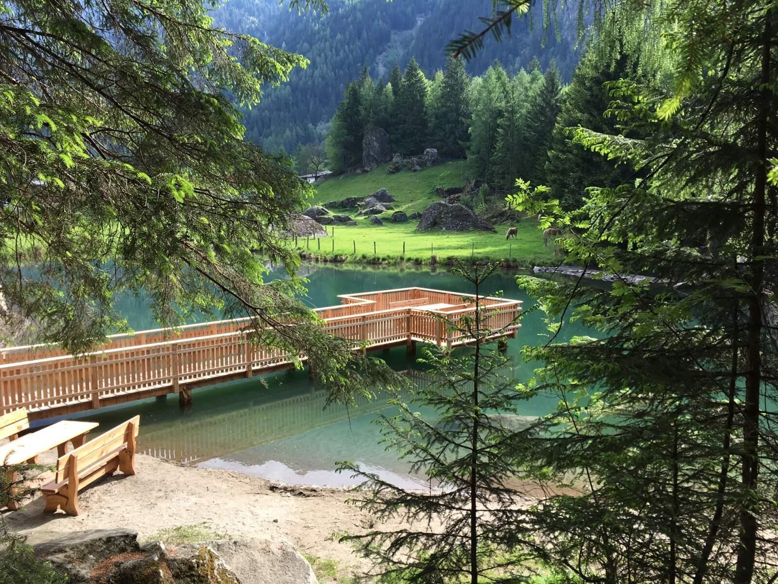
Return Route Begin by cycling back to Umhausen. At the third intersection, turn left onto Mühlweg and follow it until you reach the L238 road. Turn left here and continue to the B186 main road. Turn left again and follow the B186 to the Köfels junction. Cross the bridge on the right and immediately turn right again to rejoin the cycle path. This scenic section leads through a peaceful forest almost back to Umhausen. Here, leave the cycle path and turn left onto the road (do not stay on the bike path). At the village exit, turn right, pass the football field, cross the road, and follow the climb until you rejoin the cycle path. Continue down the valley to Östen, then turn right towards Engelswand. After the fountain at the next junction, turn left towards the Ache river, then right at the following fountain to get back on the cycle path towards Habichen. From Habichen, turn left onto the familiar route and, in Kohlstatt, take the left turn onto the winding forest road leading up to Seejöchl. A short stop at the Seejöchlblick viewing platform is highly recommended for its stunning view of Piburger See. Afterwards, ride on to Piburg, follow the road via Haderlehn to Sautens, and continue straight through the village into Mühlgasse. Before the swimming pool, turn left, then rejoin the cycle path at the recycling center. Follow it to Brunau, continue along the bike trail, and at the next junction turn right towards the main road. At the next two roundabouts, take the second exit each time and follow Ambergerstraße back to Ötztal train station.

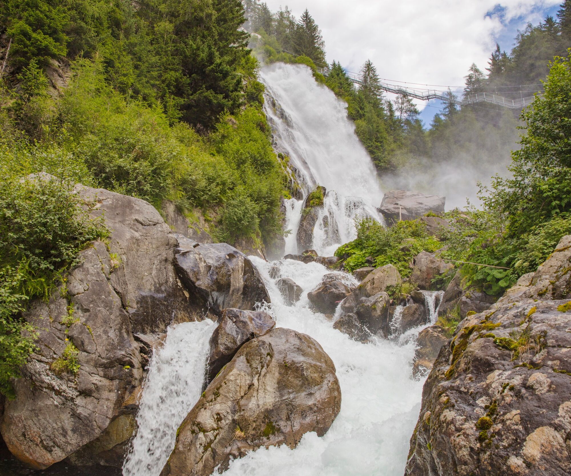
our Description The starting and finishing point of this round tour is Ötztal train station. From here, follow the cycle path gently uphill to Oetz. Continue riding deeper into the valley on the well-maintained trail until you reach Umhausen. In the village center (Mure car park), head towards the church, turn left before the bridge into Sandgasse, and follow the Horlachbach stream to a junction. Take the middle road and stay on Sandgasse. At the end of the village, turn left onto a path that soon turns into a gravel track and continue until you reach Stuböbele. Leave your bike at the bridge and walk the last few meters to the impressive Stuibenfall waterfall.
Return Route Begin by cycling back to Umhausen. At the third intersection, turn left onto Mühlweg and follow it until you reach the L238 road. Turn left here and continue to the B186 main road. Turn left again and follow the B186 to the Köfels junction. Cross the bridge on the right and immediately turn right again to rejoin the cycle path. This scenic section leads through a peaceful forest almost back to Umhausen. Here, leave the cycle path and turn left onto the road (do not stay on the bike path). At the village exit, turn right, pass the football field, cross the road, and follow the climb until you rejoin the cycle path. Continue down the valley to Östen, then turn right towards Engelswand. After the fountain at the next junction, turn left towards the Ache river, then right at the following fountain to get back on the cycle path towards Habichen. From Habichen, turn left onto the familiar route and, in Kohlstatt, take the left turn onto the winding forest road leading up to Seejöchl. A short stop at the Seejöchlblick viewing platform is highly recommended for its stunning view of Piburger See. Afterwards, ride on to Piburg, follow the road via Haderlehn to Sautens, and continue straight through the village into Mühlgasse. Before the swimming pool, turn left, then rejoin the cycle path at the recycling center. Follow it to Brunau, continue along the bike trail, and at the next junction turn right towards the main road. At the next two roundabouts, take the second exit each time and follow Ambergerstraße back to Ötztal train station.
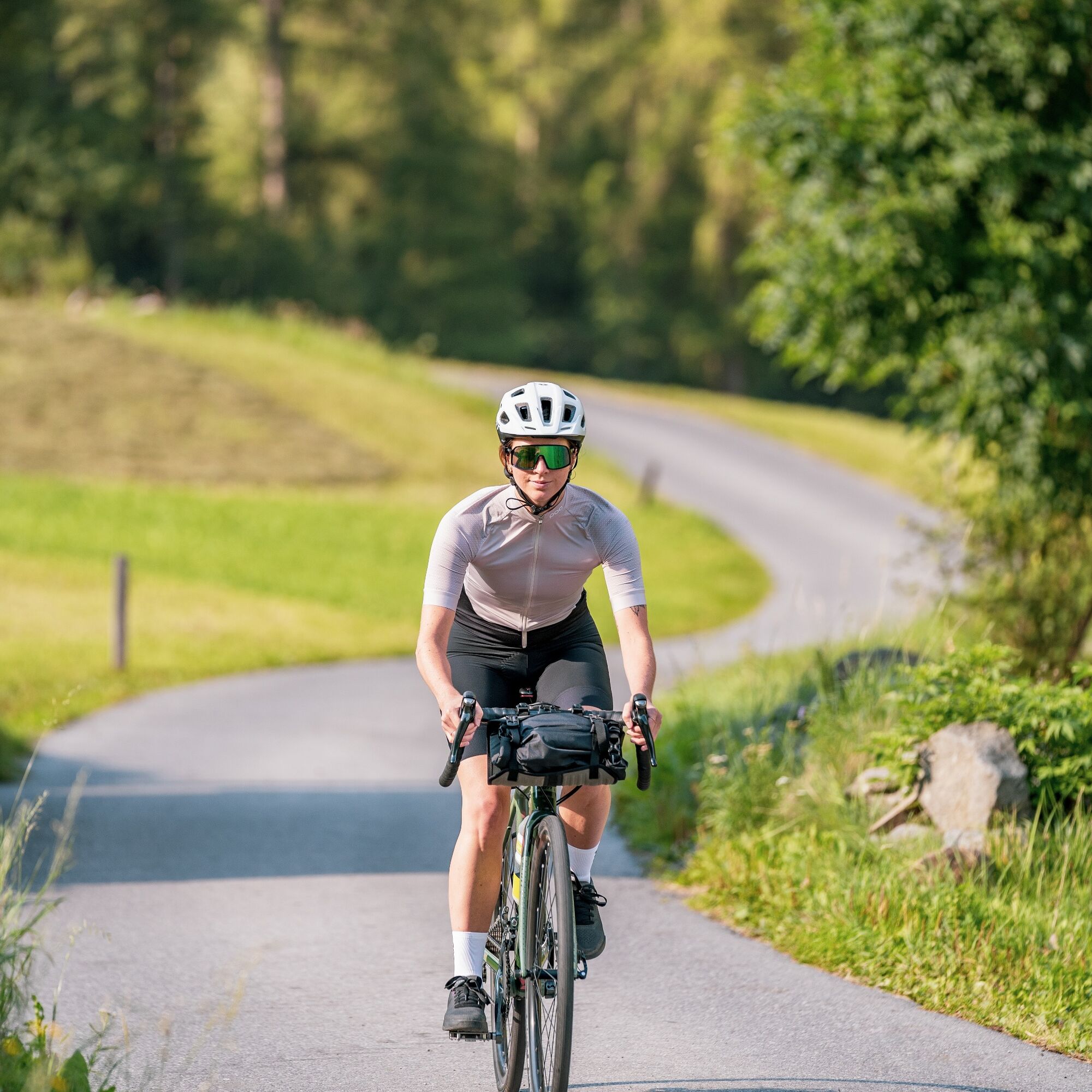
Appropriate equipment includes breathable and weather-appropriate outdoor clothing, a bicycle helmet, gloves, sunglasses, and either a GPS device or map material. For bike tours without refreshment stops, it is essential to bring sufficient food and drinks.
Sporty bike handling and a defensive riding style are required for the partly steep climbs and more challenging descents, with the demands on fitness and riding technique rated as moderate.
Driving to the ÖTZTAL: Located in Tyrol, the ÖTZTAL branches southward as the longest side valley of the Eastern Alps. Traveling by car, visitors follow the Inn Valley to the valley entrance and continue along the Ötztal. In addition to toll highways, local roads can also be used. A route planner allows you to quickly and conveniently plan your journey.
Travel comfortably and safely by train
More information about biking and cycling in the Ötztal: www.oetztal.com/biken
Webbkameror för rundturen
-
Hochoetz
-
Niederthai im Ötztal
-
Niederthai - Alpin Appart
-
Wetterkreuzbahn Talstation
-
Sautens - Aktiv Panoramahotel Daniel
-
Widiversum Hochoetz
-
Balbach Wiesenlift
-
Umhausen - Vivea Gesundheitshotel
-
Piburger See
-
Piburger See
-
Umhausen - der Veitenhof
-
Mountain Moments Ötztal
-
Kids Park/Schwimmbad
-
Kids Park/Schwimmbad
-
Kids Park/Schwimmbad
-
Kids Park/Schwimmbad
-
Kids Park/Schwimmbad
-
Piburger See
-
Hotel Tauferberg
-
Hotel Tauferberg
-
Hotel Tauferberg
-
Hotel Tauferberg
-
Hotel Tauferberg
Populära turer i närområdet
-
4,5
Oetz - Piburger See - Oetz
MediumVandring 7,16 km -
4,6
Summit route Faltegartenköpfl
MediumVandring 4,04 km -
4,2
Hike Stuibenfall - Umhausen
ljusVandring 2,95 km -
4,4
Stuibenfall Umhausen circular hike
ljusVandring 9,32 km -
5,0
Larstigalm - Niederthai
ljusVandring 3,24 km -
4,6
Trip Tirol ➤ Hike to the Blue Grotto in Rosengarten Gorge Imst
MediumVandring 4,86 km -
4,8
Faltegartenköpfl (01)
ljusSkitour 4,19 km -
4,7
Umhausen - Stuibenfall - Umhausen
MediumVandring 7,94 km -
4,6
Summit route Weather Cross from Hochoetz
MediumVandring 3,06 km -
4,4
Rundwanderung Hängebrück3
ljusVandring 6,32 km
Vandring och spårning


Missa inte erbjudanden och inspiration inför nästa semester
Din e-postadress har lagts till på e-postlistan.