


High Alpine Pasture Trail - Längenfeld/Huben


Foton av våra användare
-

 © Diana PuhlmannSkapad på 16.09.2025
 -
 © Diana PuhlmannSkapad på 16.09.2025
 -
 © Diana PuhlmannSkapad på 16.09.2025
 -
 © Diana PuhlmannSkapad på 16.09.2025
 -
 © Diana PuhlmannSkapad på 16.09.2025
 -

 © Bastiaan StruijkSkapad på 06.08.2025
 -
 © Bastiaan StruijkSkapad på 06.08.2025
 -

 © Silke S.Skapad på 21.06.2025
 -
 © Diana PuhlmannSkapad på 16.09.2025
 -
 © Diana PuhlmannSkapad på 16.09.2025
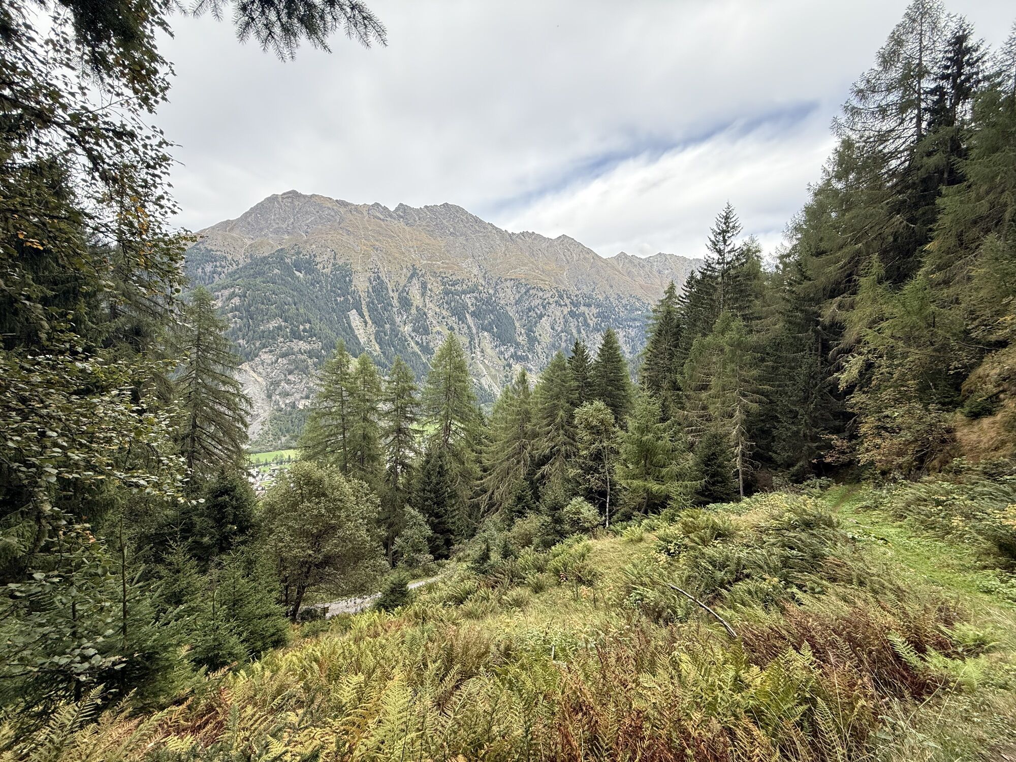

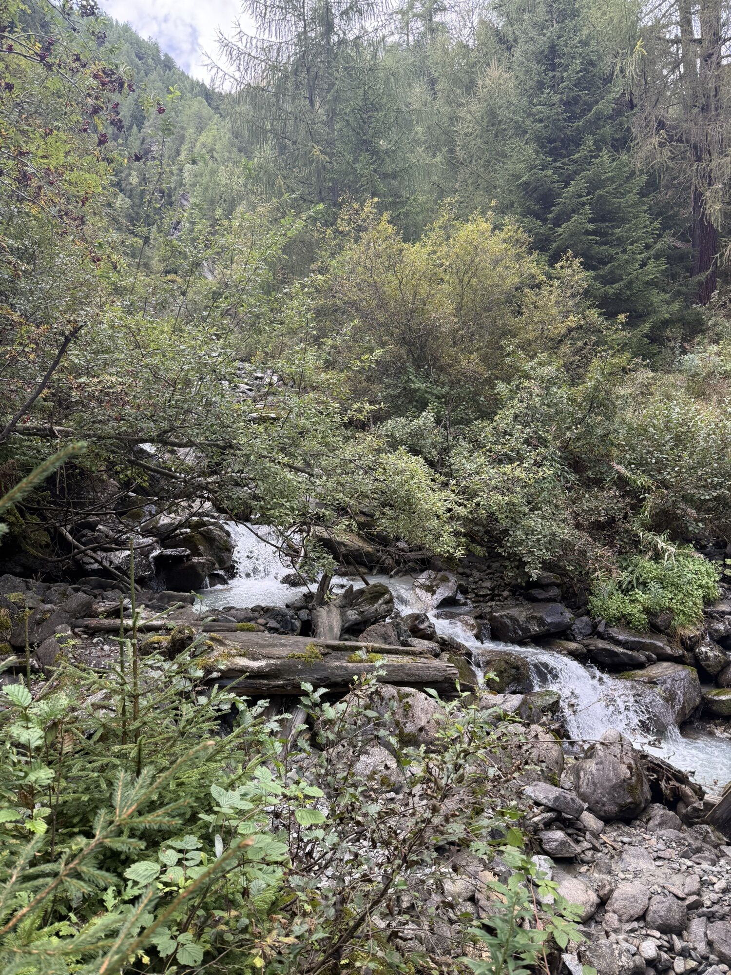
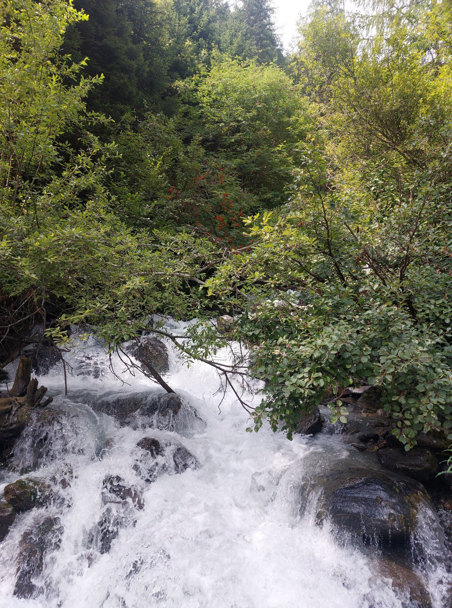
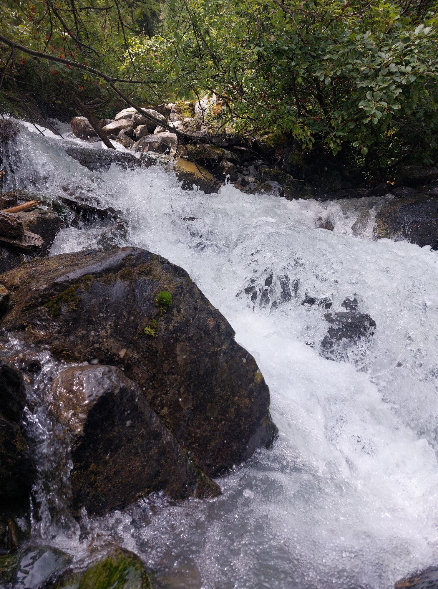
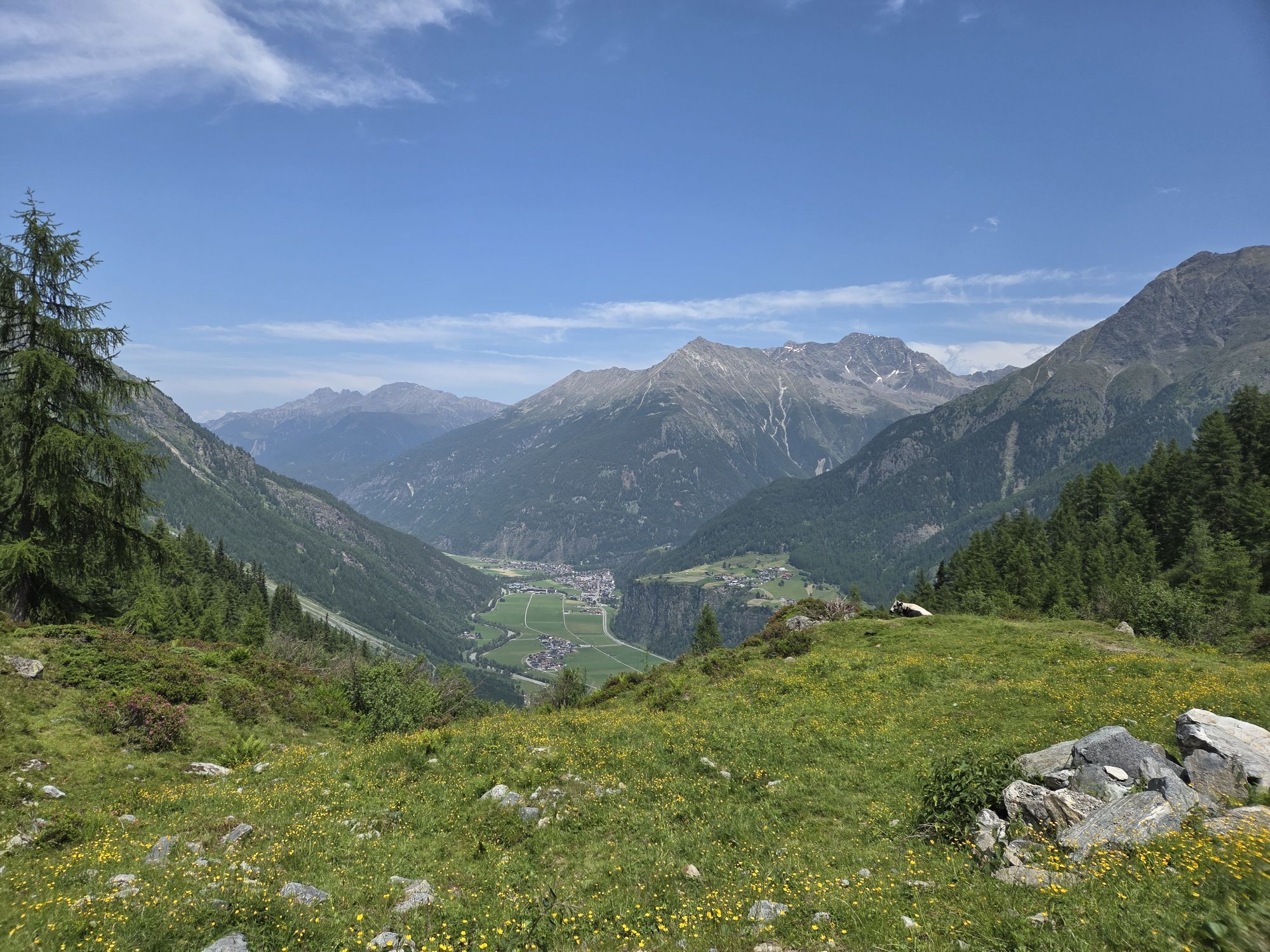


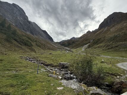
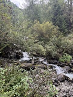
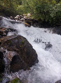
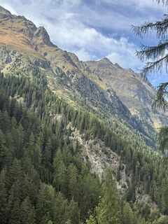
The hike starts in Huben, a hamlet of Längenfeld, at Mühle. Initially, you follow the forest road towards Polltal- and Breitlehnalm. Hikers can soon switch to the Ötztal High Alpine Pasture Trail. Noticeable...
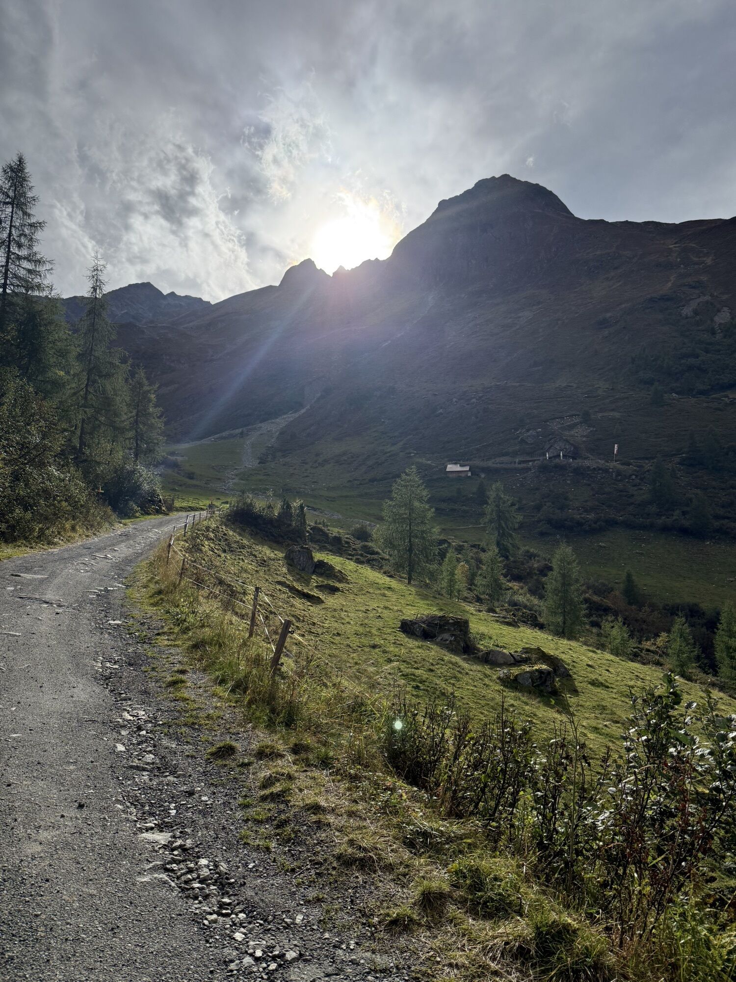
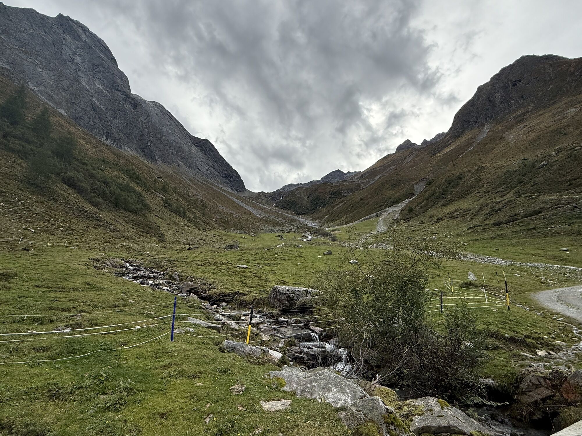
The hike starts in Huben, a hamlet of Längenfeld, at Mühle. Initially, you follow the forest road towards Polltal- and Breitlehnalm. Hikers can soon switch to the Ötztal High Alpine Pasture Trail. Noticeable is the fern-rich larch-pine forest. After two-thirds of the route, the path branches off towards Hahlkogelhaus. This signpost is ignored, and you continue straight to Polltalalm. After a short rest and refreshment, the path goes behind the hut across alpine rose beds, heather, and bilberry heaths to Breitlehnalm. The path between both huts invites you to pause, enjoy nature, and the magnificent view. Upon arrival at Breitlehnalm, a hiking trail leads back to Huben.

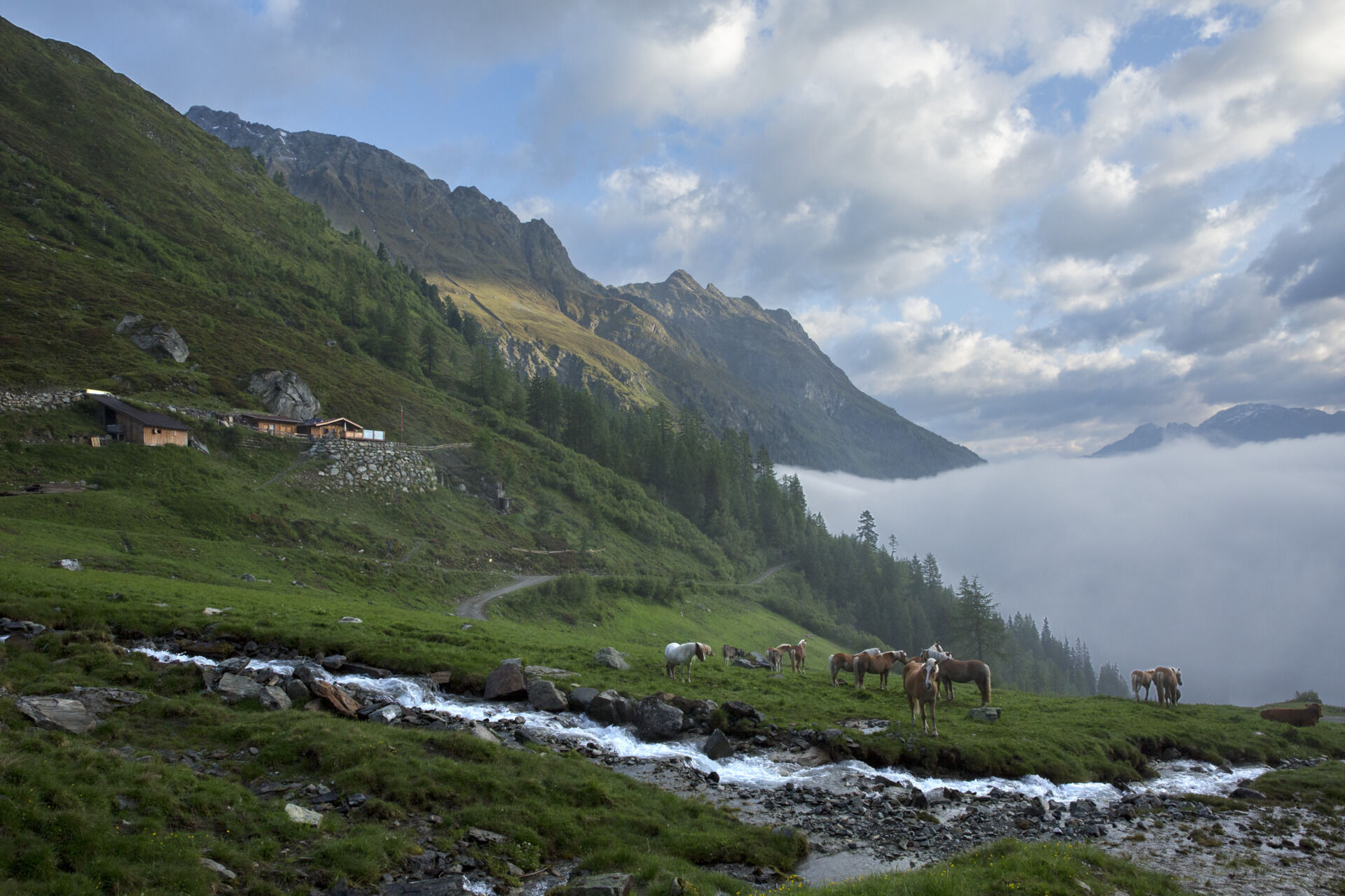
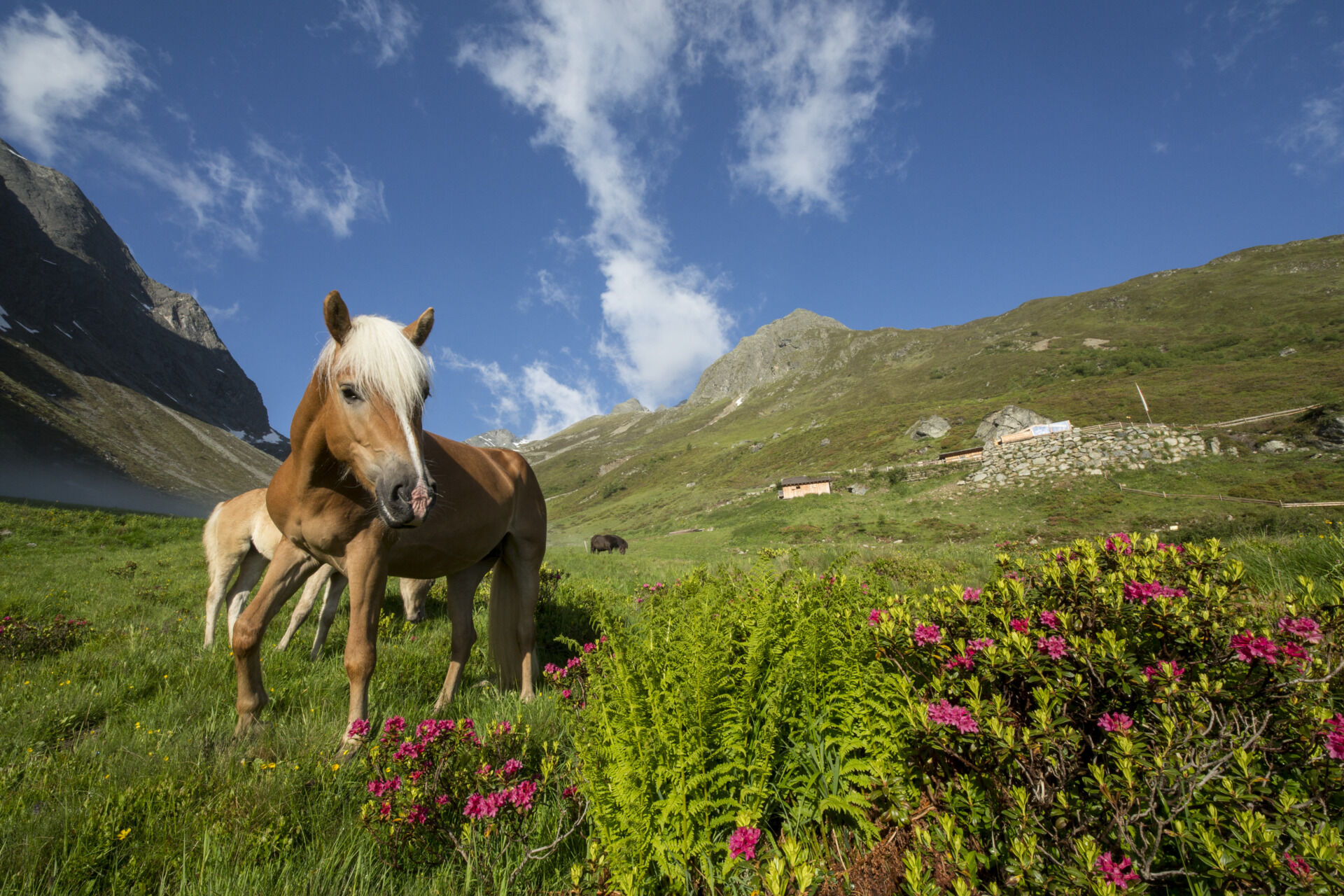
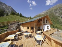
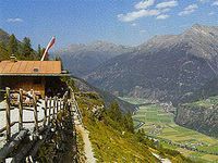
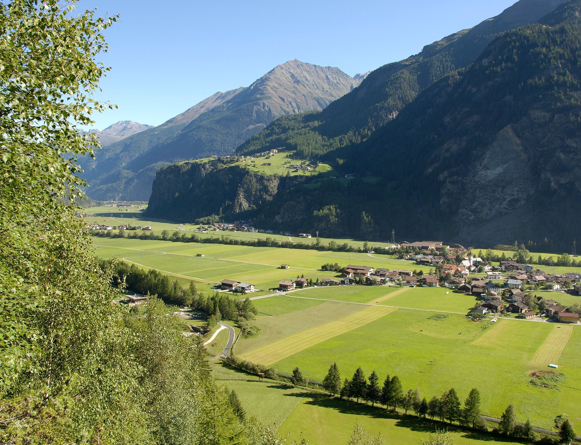
From the starting point in Huben/Mühle, a forest road leads towards Polltalalm. After a few minutes of walking, you turn off onto the Ötztal High Alpine Pasture Trail. This leads up to just before Polltalalm. The path continues to Breitlehnalm through meadow and alpine rose grounds. The return route follows a hiking trail.
Appropriate equipment such as breathable and weather-appropriate outdoor clothing,
ankle-high hiking boots, wind, rain and sun protection, a hat, and possibly gloves, is required for all
hikes and routes. Bringing a first aid kit, a mobile phone, and possibly a hiking map, as well as carrying enough provisions for hikes without refreshment options, is necessary.
Moderate mountain path; suitable for sure-footed and experienced mountain hikers;
Good physical condition, mountain experience, and mountain equipment (see under equipment) are required
Please check the current weather report at: https://www.oetztal.com/en/summer.html
Driving to ÖTZTAL
Traveling by car takes visitors through the Inn Valley to the valley entrance and further along the Ötztal. In addition to the toll motorway, country roads can also be used. Your journey can be planned quickly and easily with the route planner. Route planner: https://www.google.at/maps
Travel comfortably and safely by train. The final stop or drop-off point is ÖTZTAL station. Afterwards, you can conveniently and quickly travel to your desired destination throughout the valley using public bus services or local taxi companies. The current bus timetable is available at: http://fahrplan.vvt.at
The following parking options are available
Huben - Funpark - free of charge
More information about hiking in the Ötztal: https://www.oetztal.com/hiking
It is recommended to do the round in the reverse direction, as the descent via the trail is rather steep.
Populära turer i närområdet
-
4,7
Winnebachsee Hut – Längenfeld/Gries
MediumVandring 4,74 km -
4,2
Hike Stuibenfall - Umhausen
ljusVandring 2,95 km -
4,4
Stuibenfall Umhausen circular hike
ljusVandring 9,32 km -
5,0
Larstigalm - Niederthai
ljusVandring 3,24 km -
4,5
Amberger Hut - Längenfeld/Gries
MediumVandring 5,60 km -
3,4
Peerler Lake
MediumVandring 12,6 km -
4,7
Umhausen - Stuibenfall - Umhausen
MediumVandring 7,94 km -
5,0
Nissl Alm - Längenfeld/Gries
ljusVandring 5,17 km -
4,4
Rundwanderung Hängebrück3
ljusVandring 6,32 km -
4,5
Nederkogl
tungVandring 6,22 km

Vandring och spårning


Missa inte erbjudanden och inspiration inför nästa semester
Din e-postadress har lagts till på e-postlistan.