


Arzwinkel Waalweg


This walk starts right at the Bischoffsplatz car park. The climbing trail to the right of the Kneipphäusl snack station leads directly into Tauferberg forest. Once on top, a level trail forks off: the...
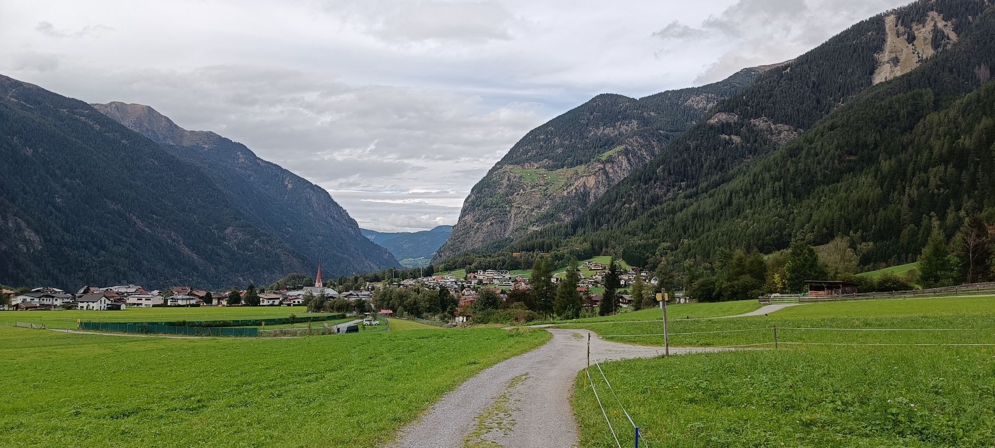
This walk starts right at the Bischoffsplatz car park. The climbing trail to the right of the Kneipphäusl snack station leads directly into Tauferberg forest. Once on top, a level trail forks off: the Waalweg Trail - a former irrigation ditch still flanked by a small brooklet - was used for watering the meadows in long past times. Follow the route until you get to the cart trail that leads back to the starting point.


The walk starts at Bischoffsplatz. To the right of the Kneipphäusl recreation station, the path leads up to the Tauferberg forest. At the top, a flat path branches off on the left - you are at Waalweg. Directly next to the flat high-way trail runs a brook, which used to serve the irrigation of the fields. Also one or the other waterwheel can be found here. Follow the path until you return to the normal path that leads back to the starting point.
Ja
Appropriate equipment such as breathable suitable outdoor clothes for the weather, ankle-high walking boots, wind-, rain- & sun protection, hat, possibly gloves, is for all hikes and tours necessary. Please bring a first-aid box, a mobile phone, a walking map and if there is no hut on the way a snack and enough to drink.
Leichter Wanderweg; für Einsteiger und Spaziergeher geeignet
Bitte beachten Sie den aktuellen Wetterbericht unter: https://www.oetztal.com/de/sommer.html
The car drive to the Ötztal valley. Situated in Tirol, the Ötztal valley set off in southerly direction and is the longest side valley in the Eastern Alps. The journey with the car leads you through the Inntal valley to the entrance of the valley and further on through the valley. Among the toll motorways you can also use the country roads.
A route planner will show you the easiest and most convenient way: https://www.google.at/maps
Travel safe and comfortable with the train to the Ötztal Bahnhof train station. Last stop and exit point is the train station Ötztal Bahnhof. Afterwards you can travel smoothly and quick with the public transport or our local taxi companies through the valley to your desired destination. Please find the current bus timetable here: fahrplan.vvt.at
The following parking facilities are available in Umhausen: car park Bischoffsplatz, payable from 07:00 to 18:30
More details about hiking In Ötztal: https://www.oetztal.com/wandern
Populära turer i närområdet
-
4,7
Winnebachsee Hut – Längenfeld/Gries
MediumVandring 4,74 km -
4,6
Summit route Faltegartenköpfl
MediumVandring 4,04 km -
4,4
Oetz - Piburger See - Oetz
MediumVandring 7,16 km -
4,2
Hike Stuibenfall - Umhausen
ljusVandring 2,95 km -
4,4
Stuibenfall Umhausen circular hike
ljusVandring 9,32 km -
5,0
Larstigalm - Niederthai
ljusVandring 3,24 km -
4,5
Amberger Hut - Längenfeld/Gries
MediumVandring 5,60 km -
4,8
Faltegartenköpfl (01)
ljusSkitour 4,19 km -
4,7
Umhausen - Stuibenfall - Umhausen
MediumVandring 7,94 km -
4,6
Summit route Weather Cross from Hochoetz
MediumVandring 3,06 km
Vandring och spårning


Missa inte erbjudanden och inspiration inför nästa semester
Din e-postadress har lagts till på e-postlistan.