


Narrenkogel - Niederthai


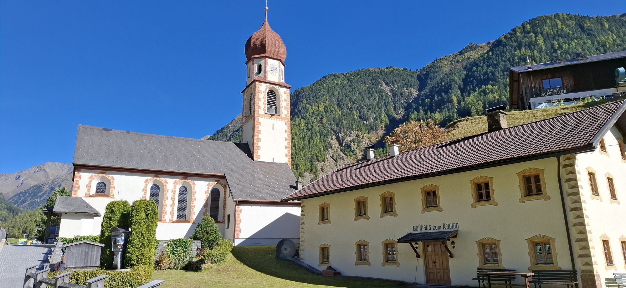
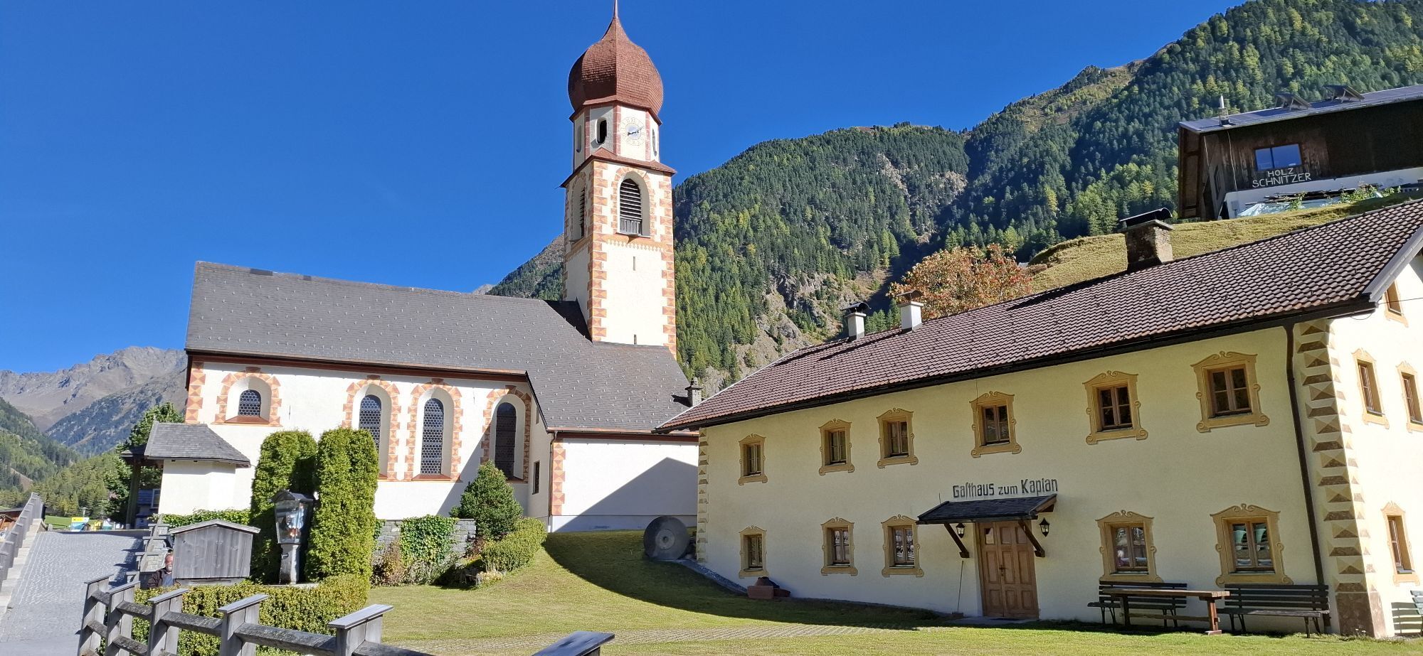
The hike starts in Niederthai at the Sennhof parking lot (next to the information center). From there, you go right over the wooden bridge towards the district of Höfle and after about 200 meters, you...
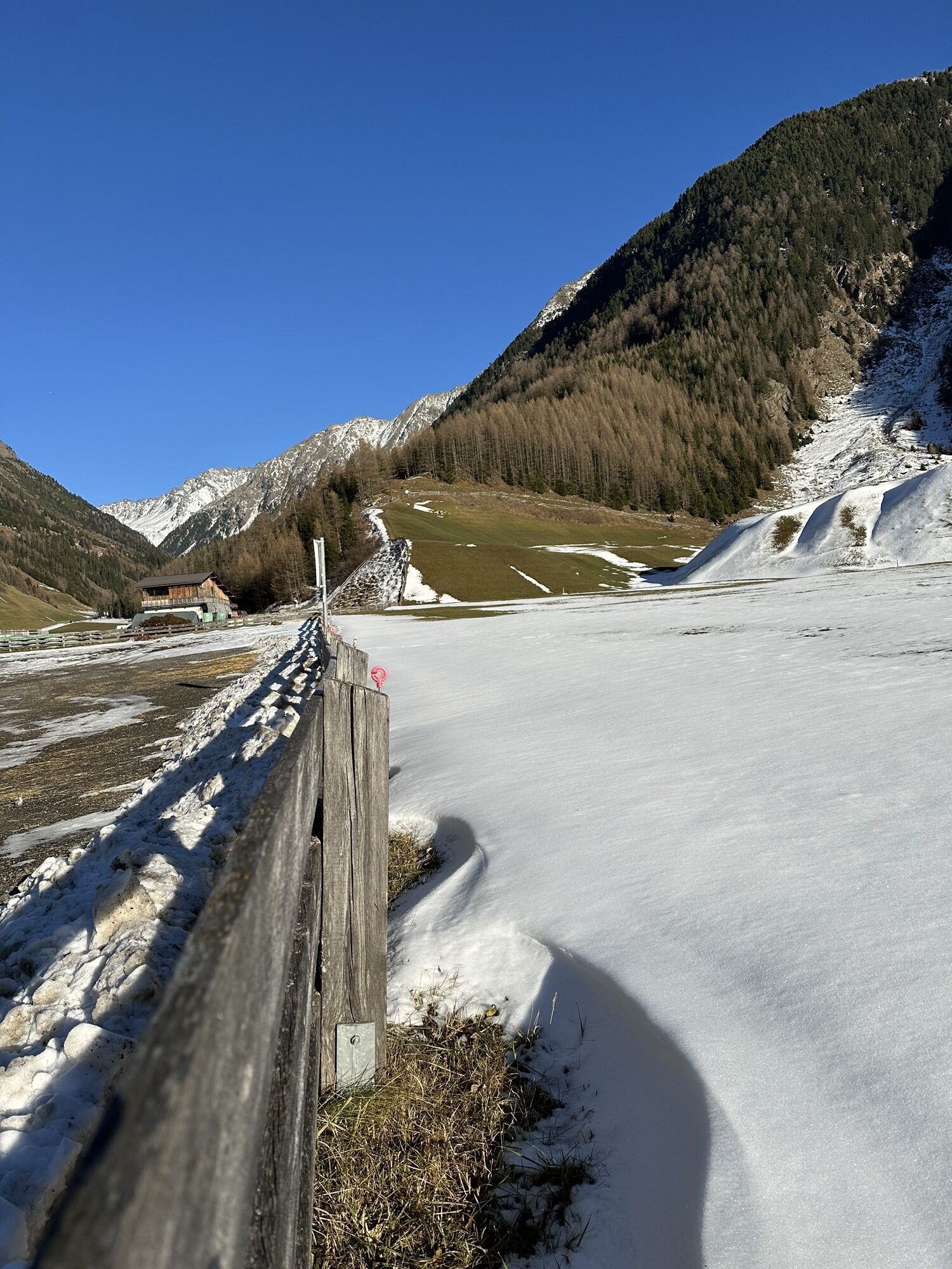
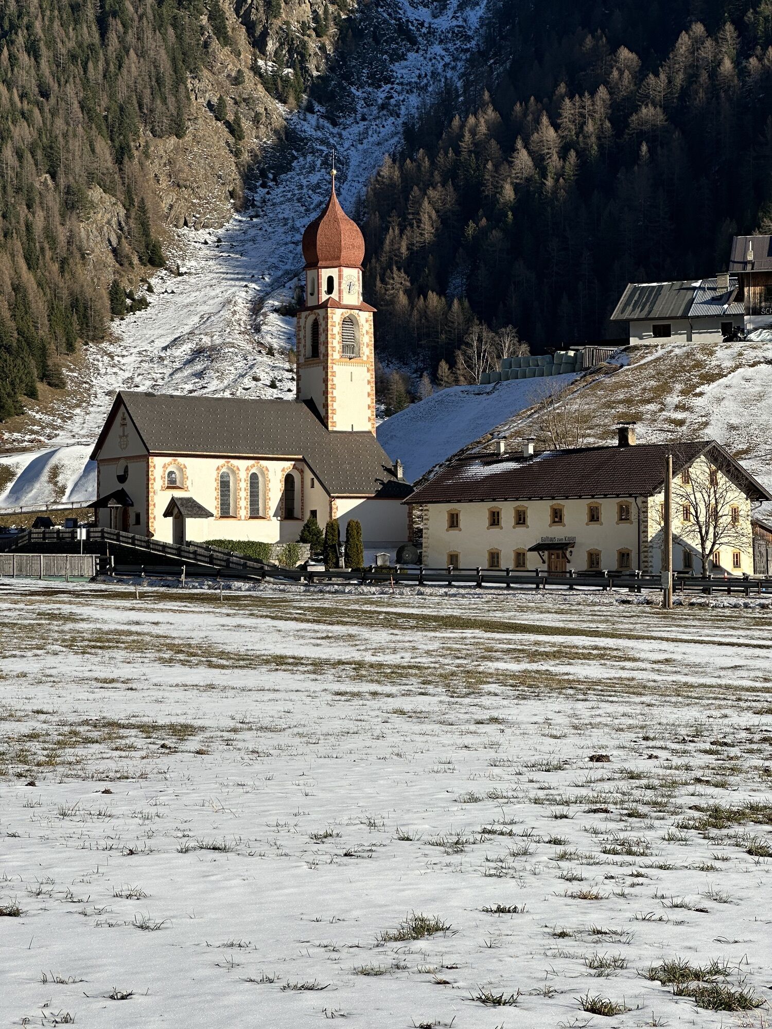
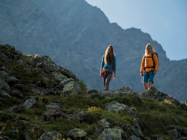
The hike starts in Niederthai at the Sennhof parking lot (next to the information center). From there, you go right over the wooden bridge towards the district of Höfle and after about 200 meters, you turn right again onto the Bergmahderweg. You follow this path downhill until about 150 meters later, where the marked, narrow hiking trail to Narrenkogel branches off to the left. From there, it continues along the somewhat steeper path to Bergle. Small wetlands and springs can be found here; in early summer, pasqueflowers and gentians enrich the former hay meadows, later the fragrant orchid. Past a hunting hut, you walk over the open mountain meadow. Here you turn right and hike on a steep path through the sparse stone pine forest up to the tree line and further to the summit. Narrenkogel is considered the local mountain of both Umhausen and Niederthai, which is why it has two summit crosses.

The hike starts in Niederthai at the Sennhof parking lot (next to the information center). From there, you go right over the wooden bridge towards the district of Höfle and after about 200 meters, you turn right again onto the Bergmahderweg. You follow this path downhill until about 150 meters later, where the marked, narrow hiking trail to Narrenkogel branches off to the left. Then it goes along the somewhat steeper path up to Bergle. Past a hunting hut, you walk over the open mountain meadow. Here you turn right and hike on a steep path through the sparse stone pine forest up to the tree line and further to the summit. Narrenkogel is considered the local mountain of both Umhausen and Niederthai, which is why it has two summit crosses.
Ja
Appropriate equipment such as breathable and weather-appropriate outdoor clothing, ankle-high hiking boots, wind, rain, and sun protection, a hat, and possibly gloves are required for all hikes and routes. Carrying a first aid kit, a mobile phone, and possibly a hiking map, as well as sufficient provisions for hikes without dining options, is necessary.
Moderate mountain path; suitable for sure-footed and experienced mountain hikers;
Good physical condition, mountain experience, and mountain equipment (see under equipment) necessary.
Please observe the current weather report
The car journey into the ÖTZTAL. Located in Tyrol, the Ötztal branches southward as the longest side valley of the Eastern Alps. The drive with a car takes travelers through the Inn valley to the valley entrance and further along the Ötztal. Besides the toll motorway, country roads can also be used. With the route planner, your trip can be quickly and conveniently planned.
To the route planner: https://www.google.at/maps
Travel comfortably and safely by train to the Ötztal train station. The final stop or exit point is the ÖTZTAL station. Afterwards, you travel comfortably and quickly with public transport or local taxi companies through the entire valley to your desired destination! The current bus timetable is available at: http://fahrplan.vvt.at
The following parking options are available in Niederthai:
Sennhof Parking Lot | Cost: €6.00 per car day ticket, mandatory from 7:00 AM to 6:30 PM, multi-day tickets available | Guests with a disability ID visible can park for free | Buses park for free
More info about hiking in the Ötztal can be found here
Populära turer i närområdet
-
4,7
Winnebachsee Hut – Längenfeld/Gries
MediumVandring 4,74 km -
4,6
Summit route Faltegartenköpfl
MediumVandring 4,04 km -
4,4
Oetz - Piburger See - Oetz
MediumVandring 7,16 km -
4,2
Hike Stuibenfall - Umhausen
ljusVandring 2,95 km -
4,4
Stuibenfall Umhausen circular hike
ljusVandring 9,32 km -
5,0
Larstigalm - Niederthai
ljusVandring 3,24 km -
4,5
Amberger Hut - Längenfeld/Gries
MediumVandring 5,60 km -
4,8
Faltegartenköpfl (01)
ljusSkitour 4,19 km -
4,7
Umhausen - Stuibenfall - Umhausen
MediumVandring 7,94 km -
4,6
Summit route Weather Cross from Hochoetz
MediumVandring 3,06 km
Vandring och spårning


Missa inte erbjudanden och inspiration inför nästa semester
Din e-postadress har lagts till på e-postlistan.