


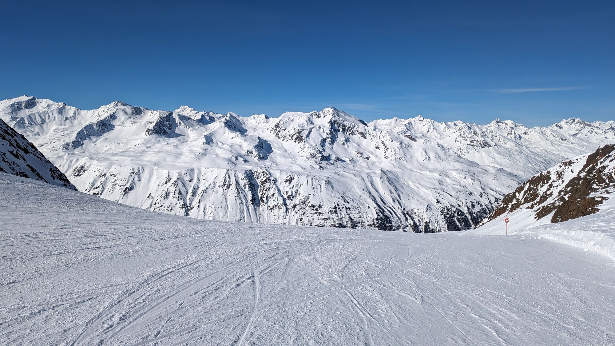
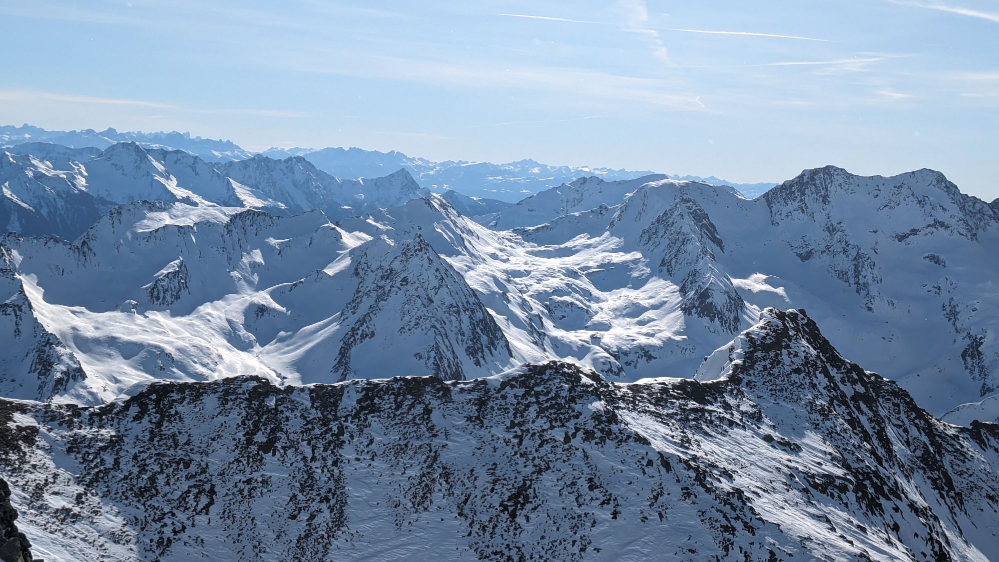
High trail Hochgurgl
Svårighetsgrad: T2


From Obergurgl behind the tennis courts at the foot of the Ferwall slope, gently ascending northwards to the Ferwallbach bridge – or from the Festkoglbahn parking lot uphill to the junction of the high...
From Obergurgl behind the tennis courts at the foot of the Ferwall slope, gently ascending northwards to the Ferwallbach bridge – or from the Festkoglbahn parking lot uphill to the junction of the high trail. The path leads steadily ascending over beautiful alpine rose slopes into the Königstal. Midway there is also a descent possible to the hamlet of Königsrain. Crossing the Königstal over a small bridge at the Königsbach gorge, you reach the southern slope on the high plateau of the Angerer Alm to the Hochgurgl holiday village. From there along a stretch of the Timmelsjoch road to the radio mast; opposite the path leads over beautiful alpine rose slopes and stone pine stands via the Weißenbach ravine and the green hairpin bends of the ski slope to the Pillersee path or back to Obergurgl.

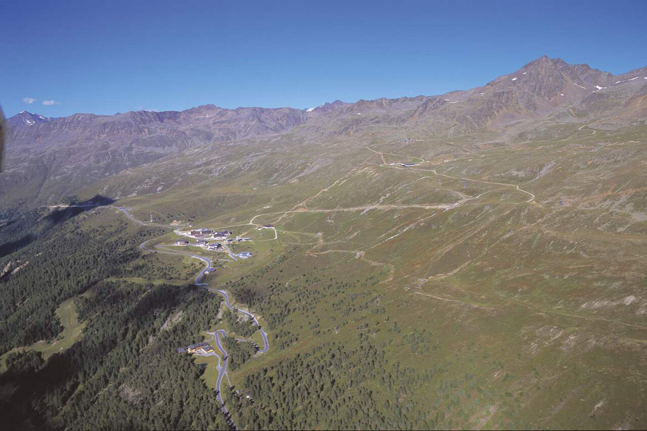
From Obergurgl behind the tennis courts at the foot of the Ferwall slope, gently ascending northwards to the Ferwallbach bridge – or from the Festkoglbahn parking lot uphill to the junction of the high trail. The path leads steadily ascending over beautiful alpine rose slopes into the Königstal. Midway there is also a descent possible to the hamlet of Königsrain. Crossing the Königstal at the Königsbach gorge over a small bridge, you reach the southern slope on the high plateau of the Angerer Alm to the Hochgurgl holiday village. From there along a stretch of the Timmelsjoch road to the radio mast; opposite the path leads over beautiful alpine rose slopes and stone pine stands via the Weißenbach ravine and the green hairpin bends of the ski slope to the Pillersee path or back to Obergurgl.
Ja
Appropriate equipment such as breathable and weather-appropriate outdoor clothing, ankle-high hiking boots, wind, rain and sun protection, a hat, possibly gloves, is required for all hikes and routes. Carrying a first aid kit, a mobile phone and possibly a hiking map, as well as sufficient provisions for hikes without dining options, is necessary.
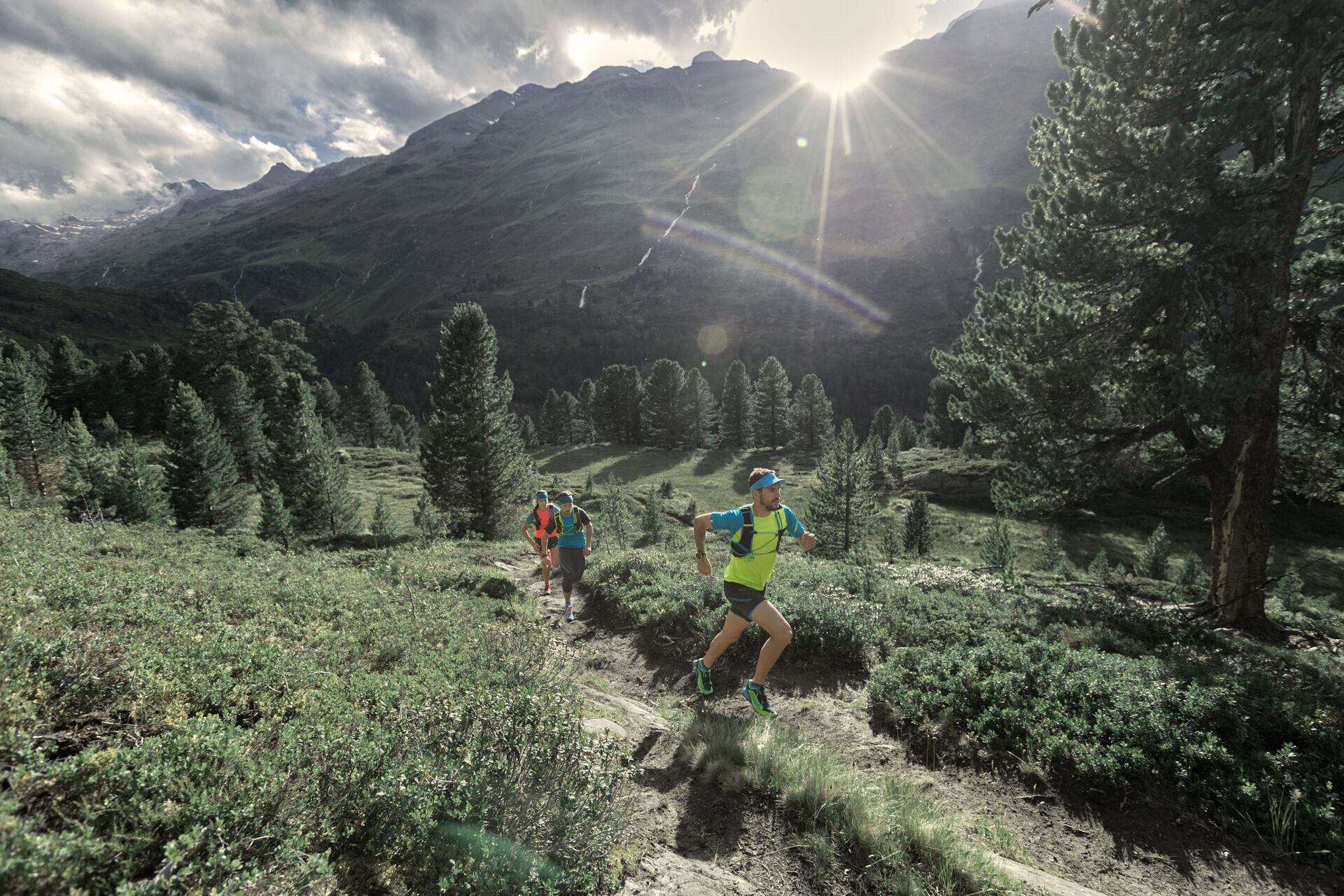
Moderate mountain trail; suitable for sure-footed and experienced mountain hikers.
Good physical condition, mountain experience and mountain equipment (see under equipment) needed. Please check the current weather report at: https://www.oetztal.com/de/sommer.html
The car trip into the ÖTZTAL. Located in Tyrol, the ÖTZTAL branches southwards as the longest side valley of the Eastern Alps. Traveling by car leads visitors via the Inn valley to the valley entrance and then further along the Ötztal. Besides the toll motorway, country roads can also be used. Your journey can be quickly and conveniently planned with the route planner: To the route planner: https://www.google.at/maps.
Travel comfortably and safely by train to the Ötztal train station. The final stop or exit point is the ÖTZTAL station. Then you can conveniently and quickly continue through the entire valley to your destination by public transit or local taxi services. The current bus schedule is available at: http://fahrplan.vvt.at.
The following parking options are available in Gurgl:
Parking garage Village center Obergurgl (down to the right before the church), paid | € 2.00 per hour Parking garage Village entrance – Festkoglbahn valley station, paid | € 6.00 per day Parking lot Hochgurglbahn valley station, free – no overnight parking Parking lot Top Mountain Crosspoint, free Parking lot Hochgurgl, free (very small parking lot)
T2
Webbkameror för rundturen
-
Obergurgl
-
Hochgurgl
-
Obergurgl
-
Gaisberg
-
Top Mountain Crosspoint Hochgurgl
-
Top Mountain Crosspoint Hochgurgl
-
Top Mountain Crosspoint Hochgurgl
-
Top Mountain Crosspoint Hochgurgl
-
Top Mountain Crosspoint Hochgurgl
-
Obergurgl
-
Obergurgl
-
Obergurgl
-
Obergurgl
-
Obergurgl
-
Obergurgl
-
Obergurgl
-
Top Mountain Crosspoint Hochgurgl
Populära turer i närområdet
-
4,6
Passerschlucht
ljusVandring 8,84 km -
4,4
Hochwilde - Pfelders
MediumHög tur 22,1 km -
4,4
Passerschlucht mit Stieber Wasserfällen, Trentino-Südtirol/Italien
MediumVandring 9,49 km -
3,4
Peerler Lake
MediumVandring 12,6 km -
5,0
Kreuzspitze
tungVandring 11,6 km -
4,5
Vent - Wilder Mann - Breslauer Hütte - Stableinalm
MediumVandring 7,25 km -
4,5
Nederkogl
tungVandring 6,22 km -
4,8
Vent - Martin Busch Hut - Similaun Hut
MediumVandring 13,7 km -
4,5
Passeier
MediumVandring 17,7 km -
4,5
Lake Gaislachsee
MediumVandring 4,04 km
Vandring och spårning


Missa inte erbjudanden och inspiration inför nästa semester
Din e-postadress har lagts till på e-postlistan.