


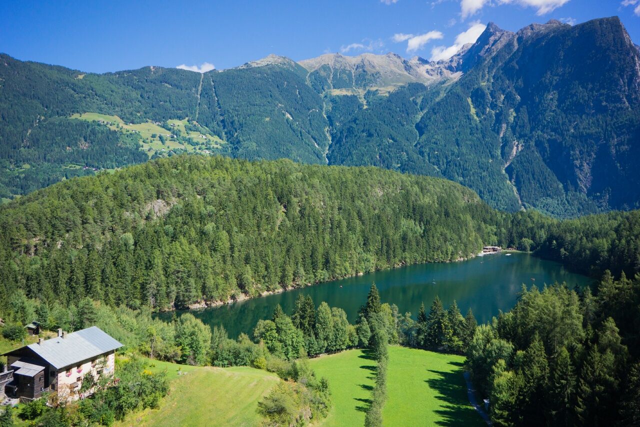
Oetz - Piburger See - Oetz


Foton av våra användare
-
 © Steve GilliamsSkapad på 05.08.2025
 -
 © Steve GilliamsSkapad på 05.08.2025
 -
 © Hartmut NeumannSkapad på 06.07.2025
 -
 © Hartmut NeumannSkapad på 06.07.2025
 -
 © Santino BuschSkapad på 25.12.2024
 -
 © Santino BuschSkapad på 25.12.2024
 -
 © Santino BuschSkapad på 25.12.2024
 -
 © Santino BuschSkapad på 25.12.2024
 -
 © Werner NeurauterSkapad på 08.10.2022
 -
 © Werner NeurauterSkapad på 08.10.2022
 -
 © Werner NeurauterSkapad på 08.10.2022
 -

 © Christian FreythalerSkapad på 20.09.2025
 -
 © Christian FreythalerSkapad på 20.09.2025
 -
 © Martin GlaserSkapad på 28.08.2025
 -
 © Martin GlaserSkapad på 28.08.2025
 -
 © Martin GlaserSkapad på 28.08.2025
 -

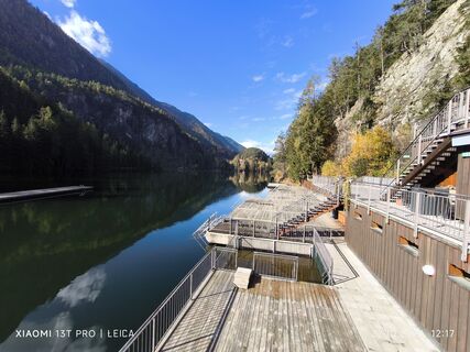
 © Werner FögerSkapad på 22.08.2025
 -
 © Werner FögerSkapad på 22.08.2025
 -
 © Werner FögerSkapad på 22.08.2025
 -
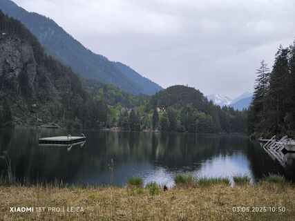
 © Karl-HeinzSkapad på 03.05.2025
 -
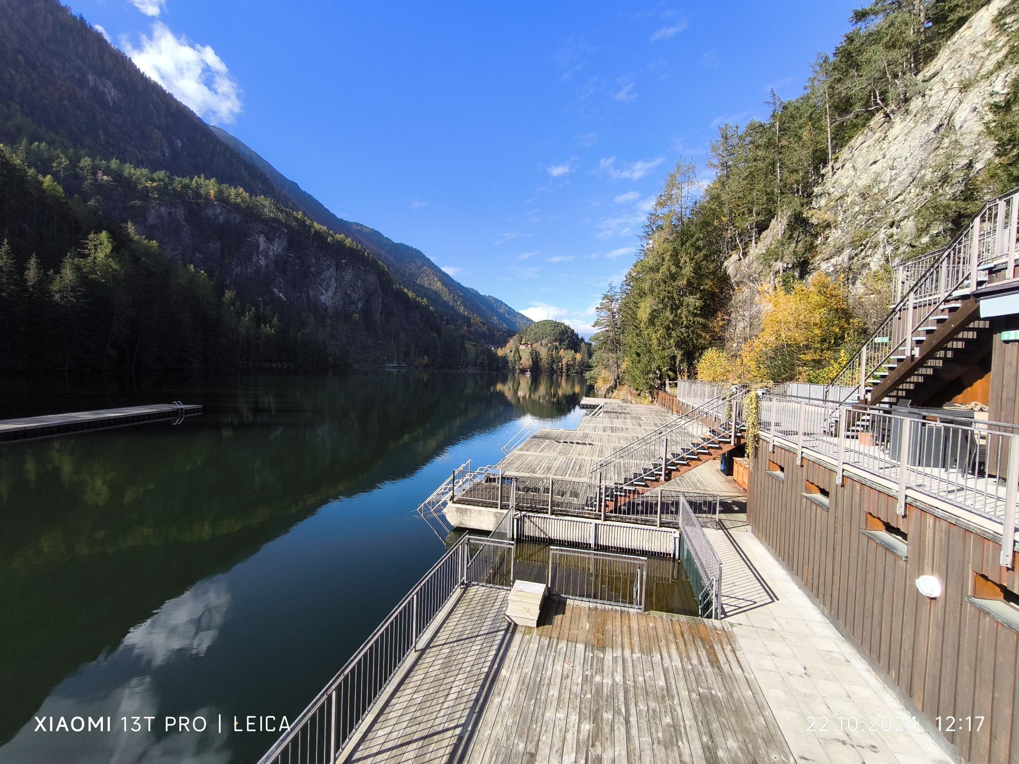
 © Karl-HeinzSkapad på 22.10.2024
 -
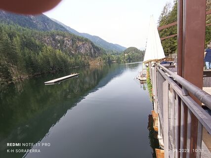 © Karl-HeinzSkapad på 12.09.2023
 -
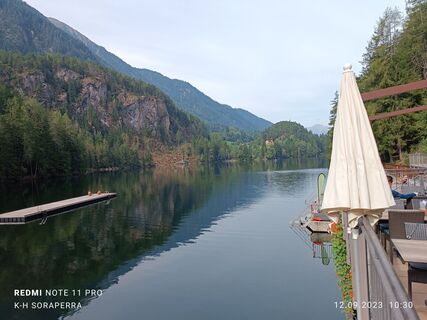 © Karl-HeinzSkapad på 12.09.2023


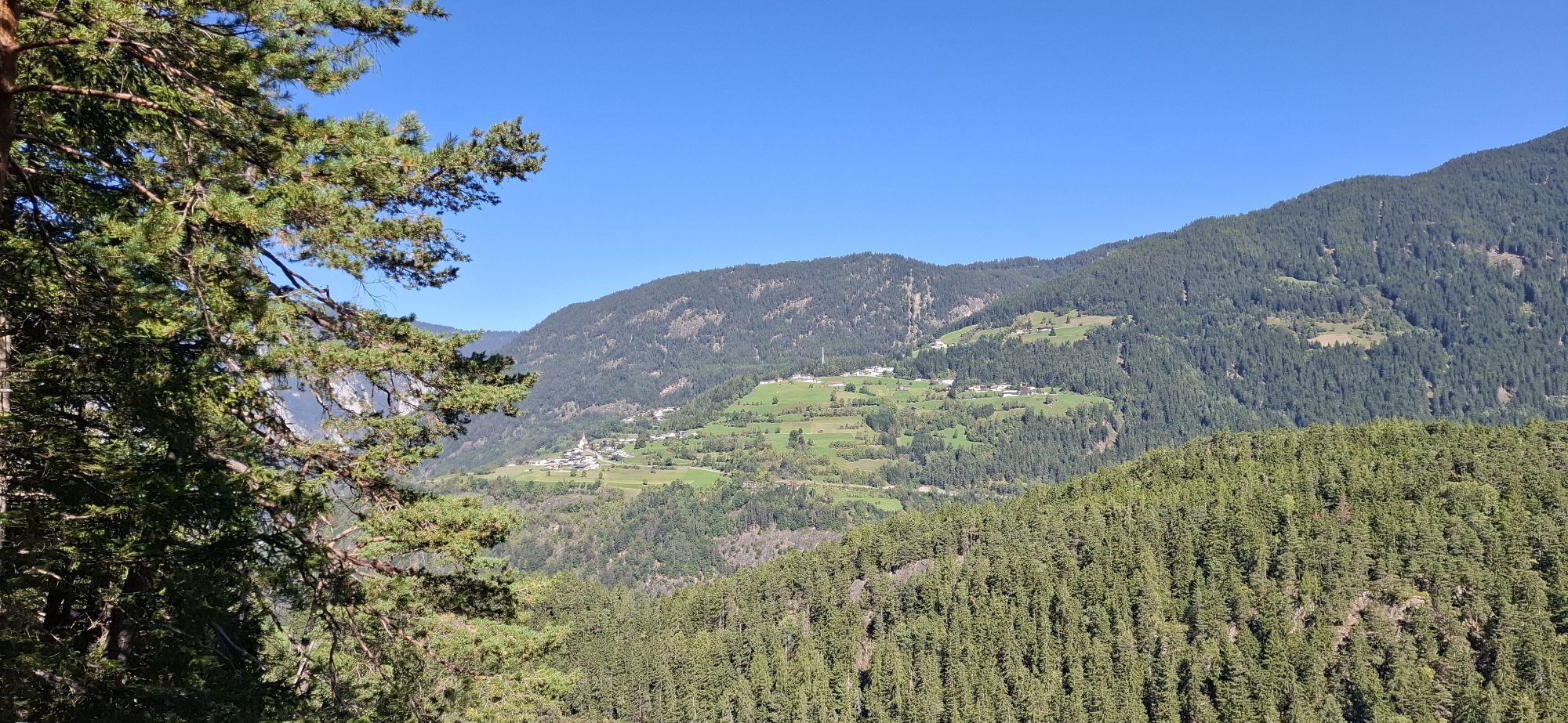
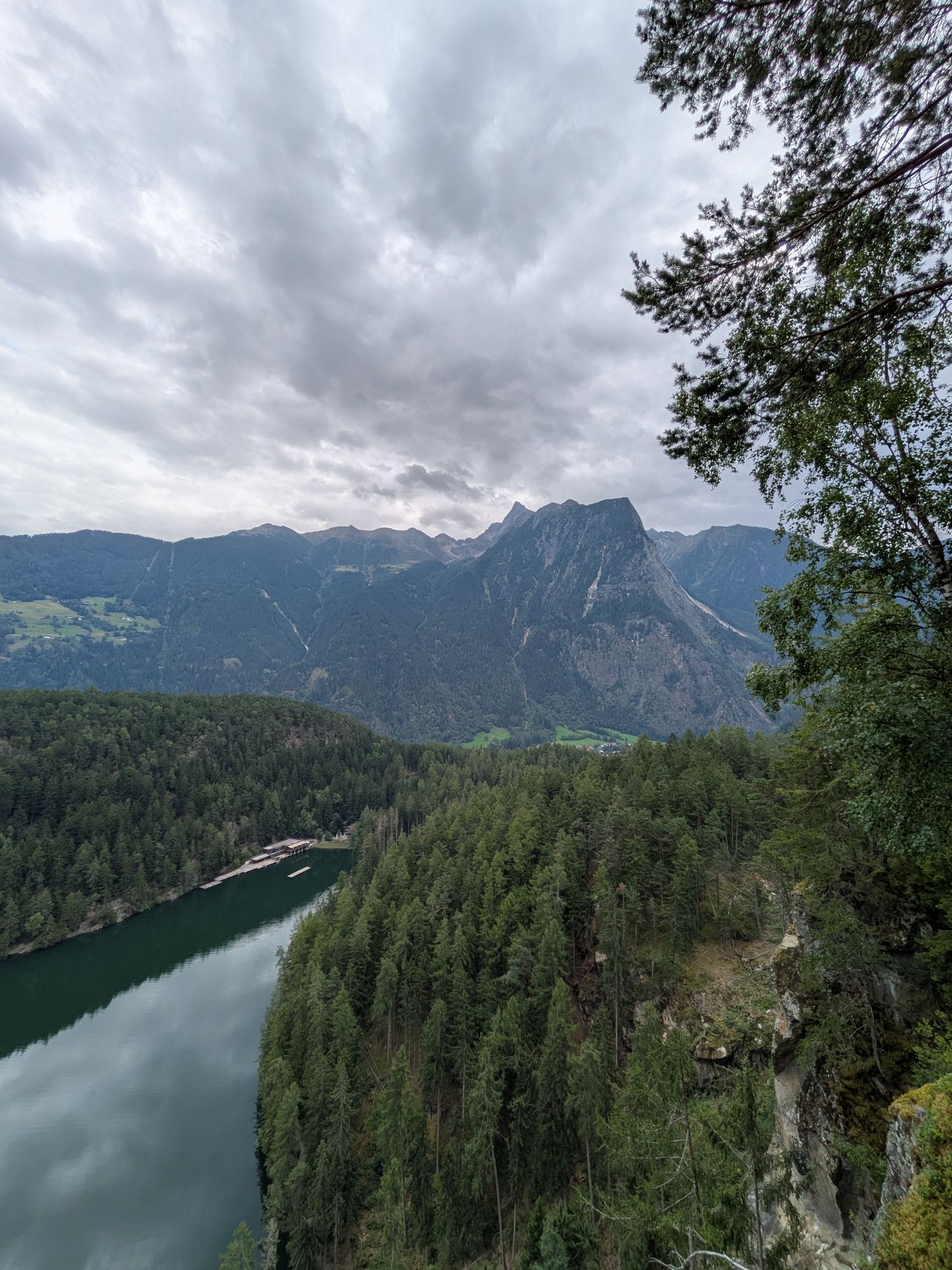
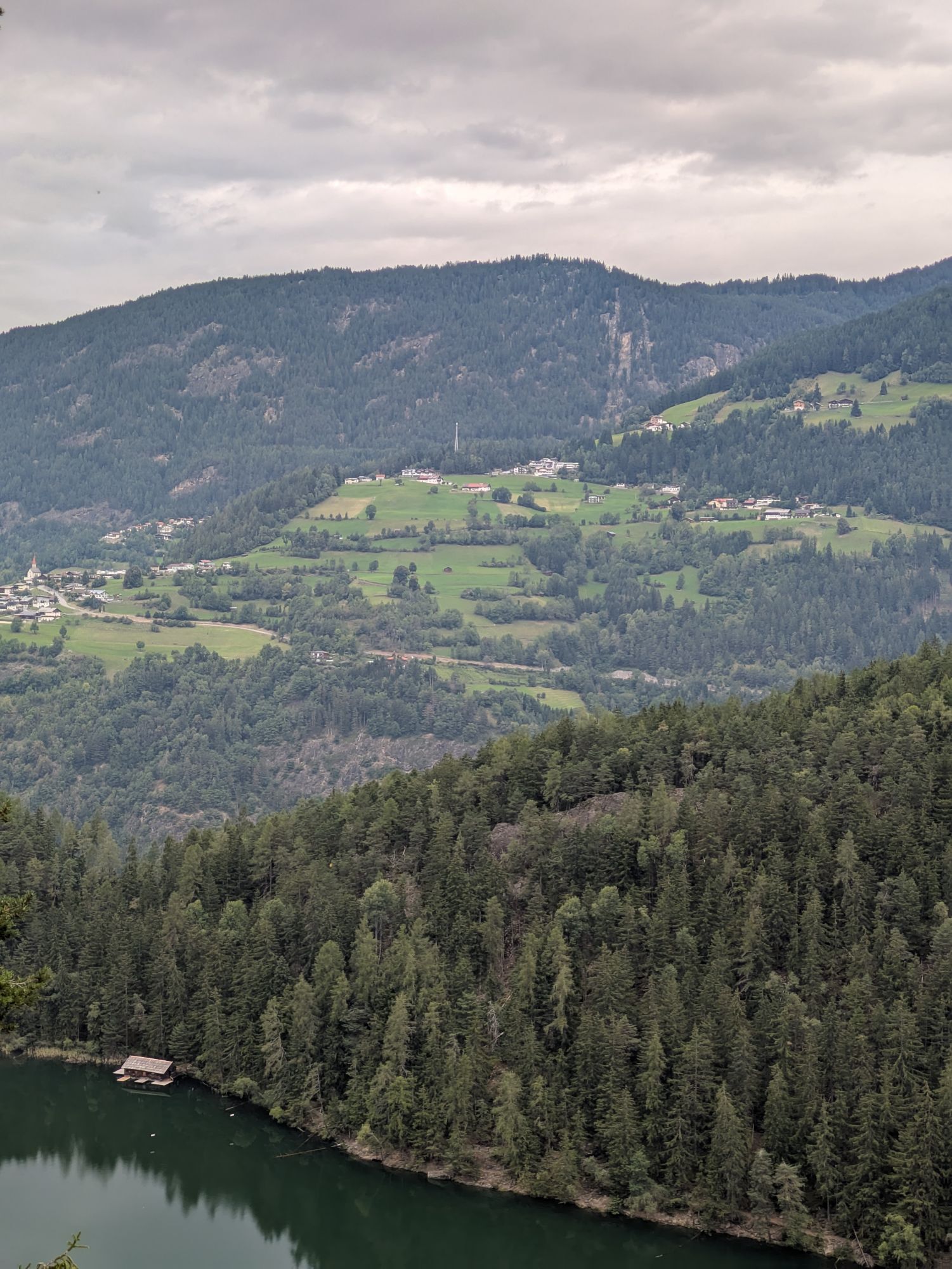
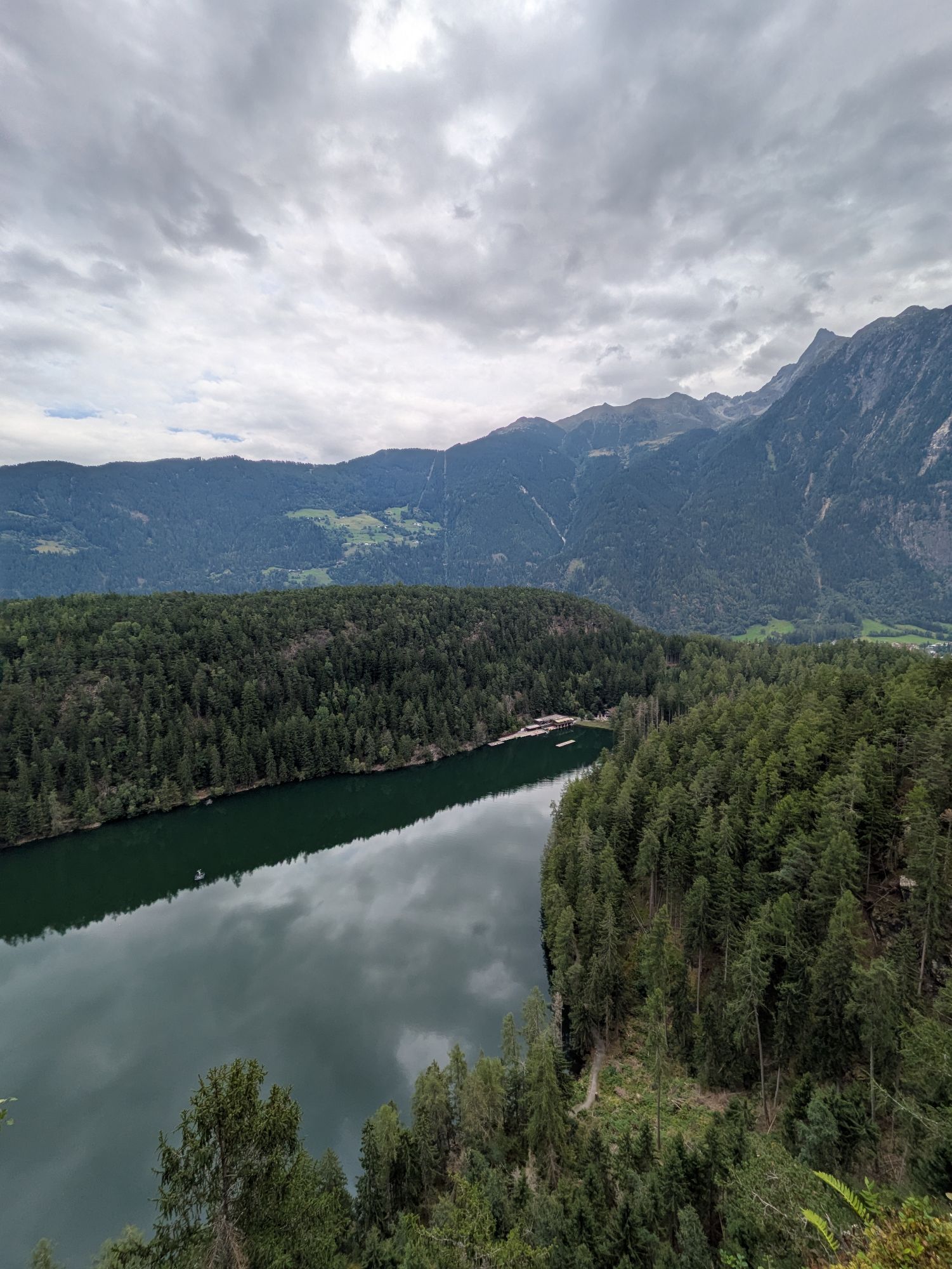
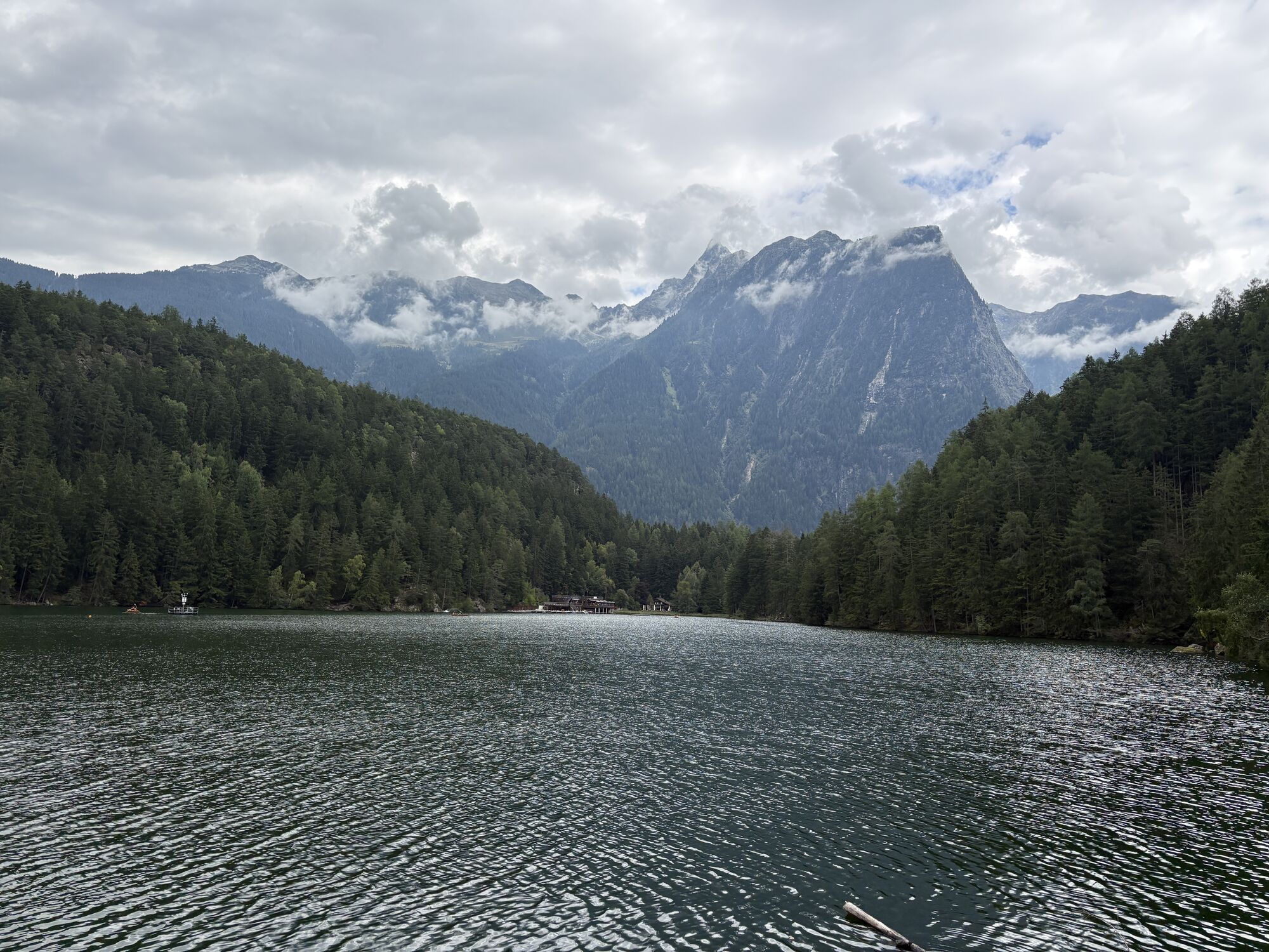

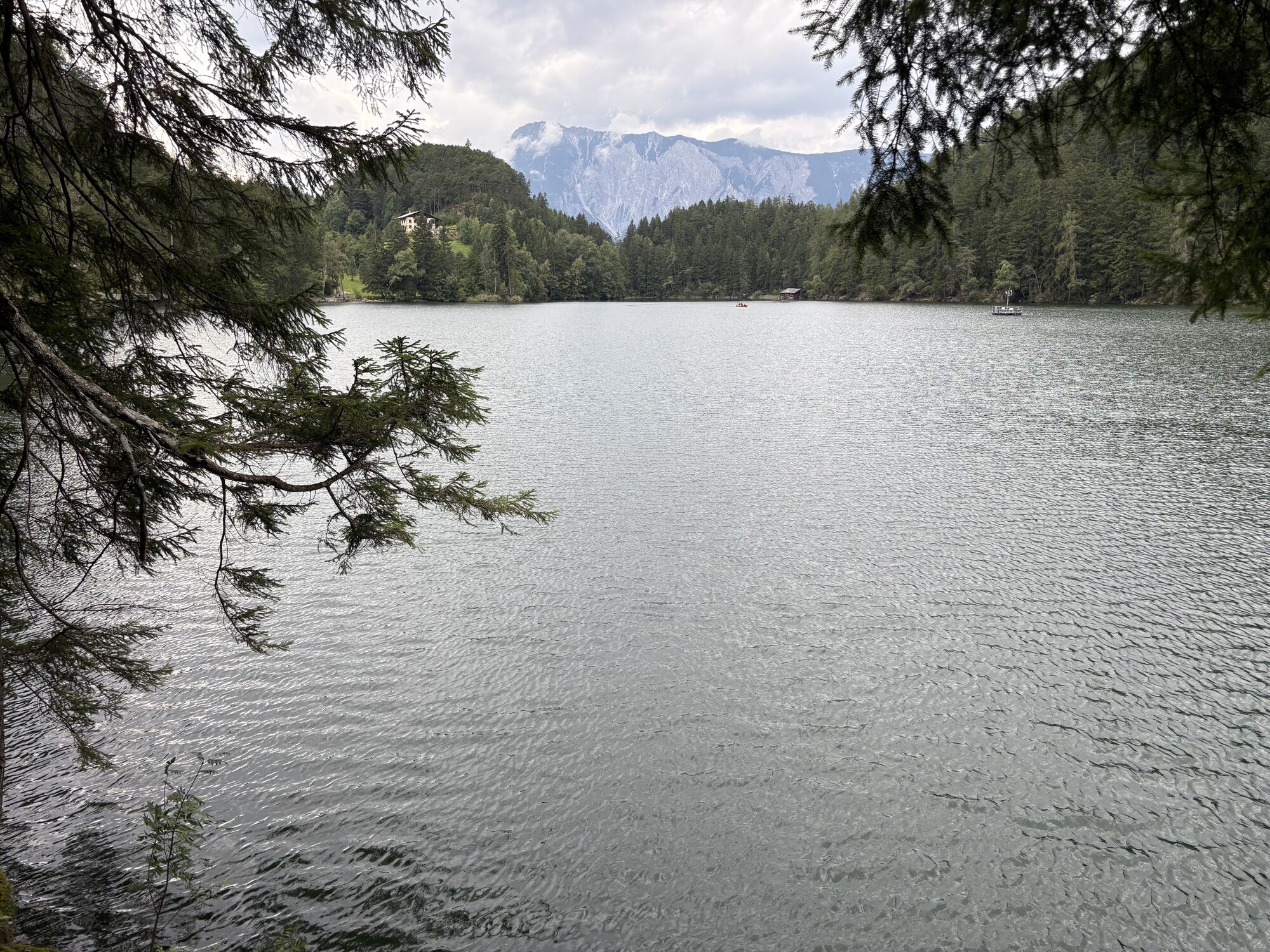


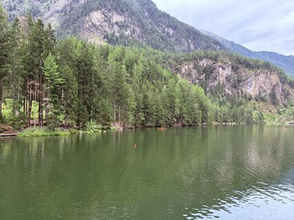
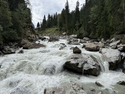
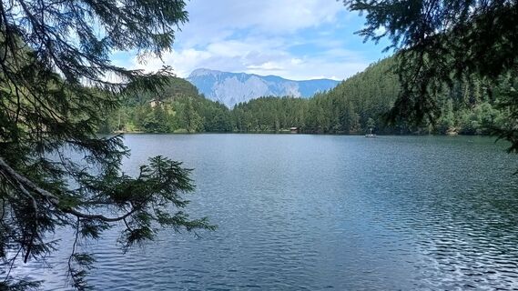
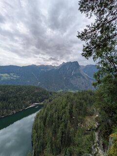
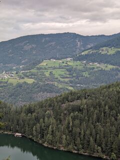
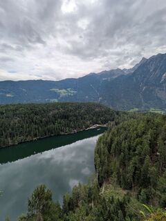
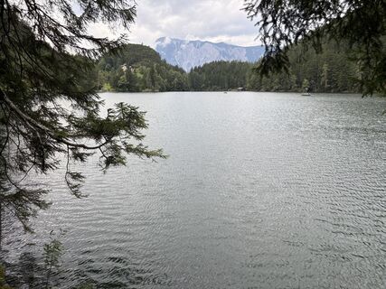
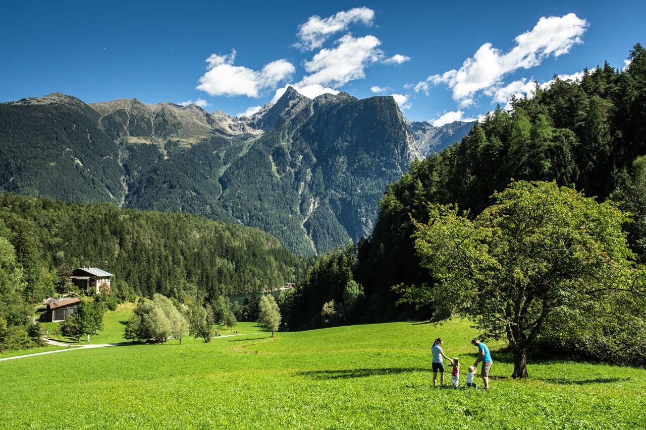
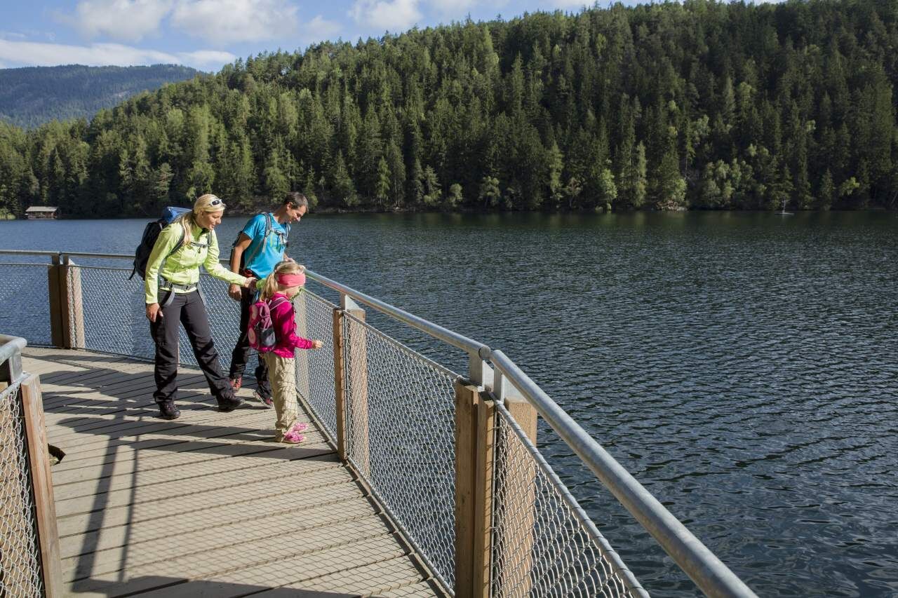
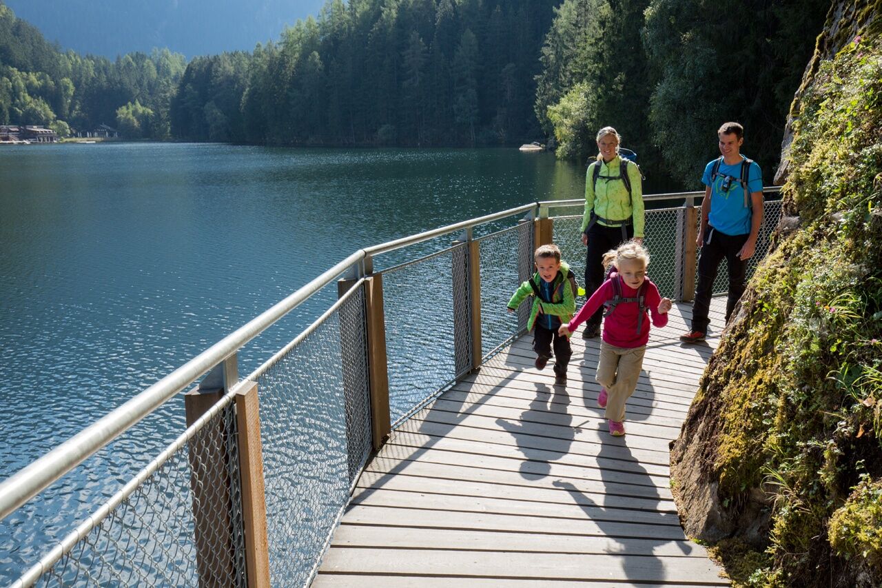
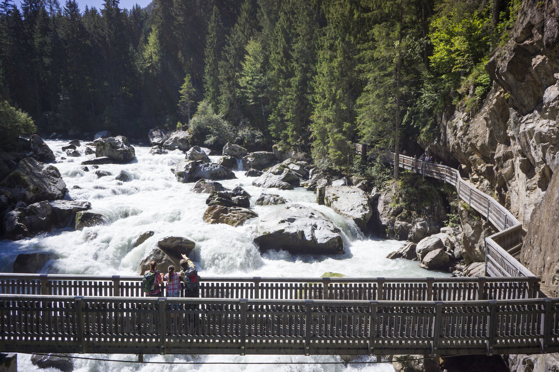
The starting point is the central car park in Oetz. Follow the Ötztaler Ache upstream to the Brandach bridge/rafting entry point. Cross the bridge and follow the meadow path and a little later the hiking...
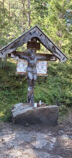
The starting point is the central car park in Oetz. Follow the Ötztaler Ache upstream to the Brandach bridge/rafting entry point. Cross the bridge and follow the meadow path and a little later the hiking trail past the small chapel up to Piburger See. Circle the lake. Return on the wide forest road to the fork at "Wellerbrücke". Here take the hiking trail and cross the bridge. Stroll back along the Ötztaler Ache to Oetz.

The starting point is the central car park in Oetz. Follow the Ötztaler Ache upstream to the Brandach bridge/rafting entry point. Cross the bridge and follow the meadow path and a little later the hiking trail past the small chapel up to Piburger See. Circle the lake. Return on the wide forest road to the fork at "Wellerbrücke". Here take the hiking trail and cross the bridge. Stroll back along the Ötztaler Ache to Oetz.
Ja
Ja
Appropriate equipment such as breathable and weather-appropriate outdoor clothing, ankle-high hiking boots, wind, rain and sun protection, hat, possibly gloves, is required for all hikes and routes. Carrying a first aid kit, a mobile phone and possibly a hiking map, as well as sufficient provisions for hikes without refreshment options is necessary.
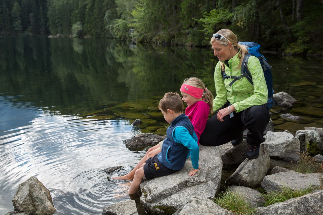
Easy hiking trail; suitable for beginners and walkers. Please check the current weather report at: https://www.oetztal.com/de/sommer.html
Car journey to ÖTZTAL. Located in Tyrol, the ÖTZTAL branches off to the south as the longest side valley of the Eastern Alps. Traveling by car takes visitors over the Inn valley to the valley entrance and continues along the Ötztal. Besides the toll motorway, country roads can also be used. Your trip can be planned quickly and conveniently with the route planner: To the route planner: www.google.at/maps
Travel comfortably and safely by train to the Ötztal train station. The final stop or exit point is ÖTZTAL station. Afterwards, you can conveniently and quickly travel through the entire valley to your desired destination by public transport or local taxi services! The current bus timetable is available at: http://fahrplan.vvt.at
The following parking options are available:
Central car park Oetz (subject to charge)
Parking lot Acherkogelbahn – (subject to charge)Parking lot Rafting entry point (at the end of Oetz on the right side) (subject to charge)Overnight parking during multi-day tours: Central car park Oetz, tickets are available at the Oetz information office
More info about hiking in the Ötztal: https://www.oetztal.com/wandern
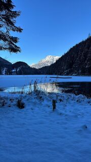
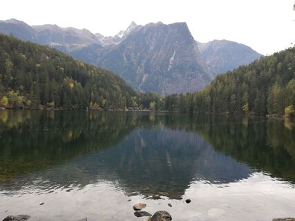
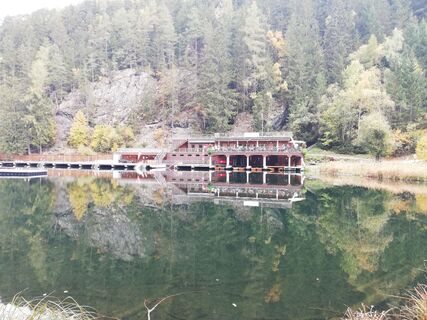
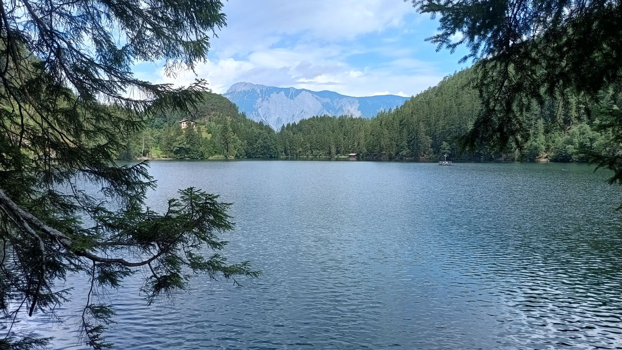
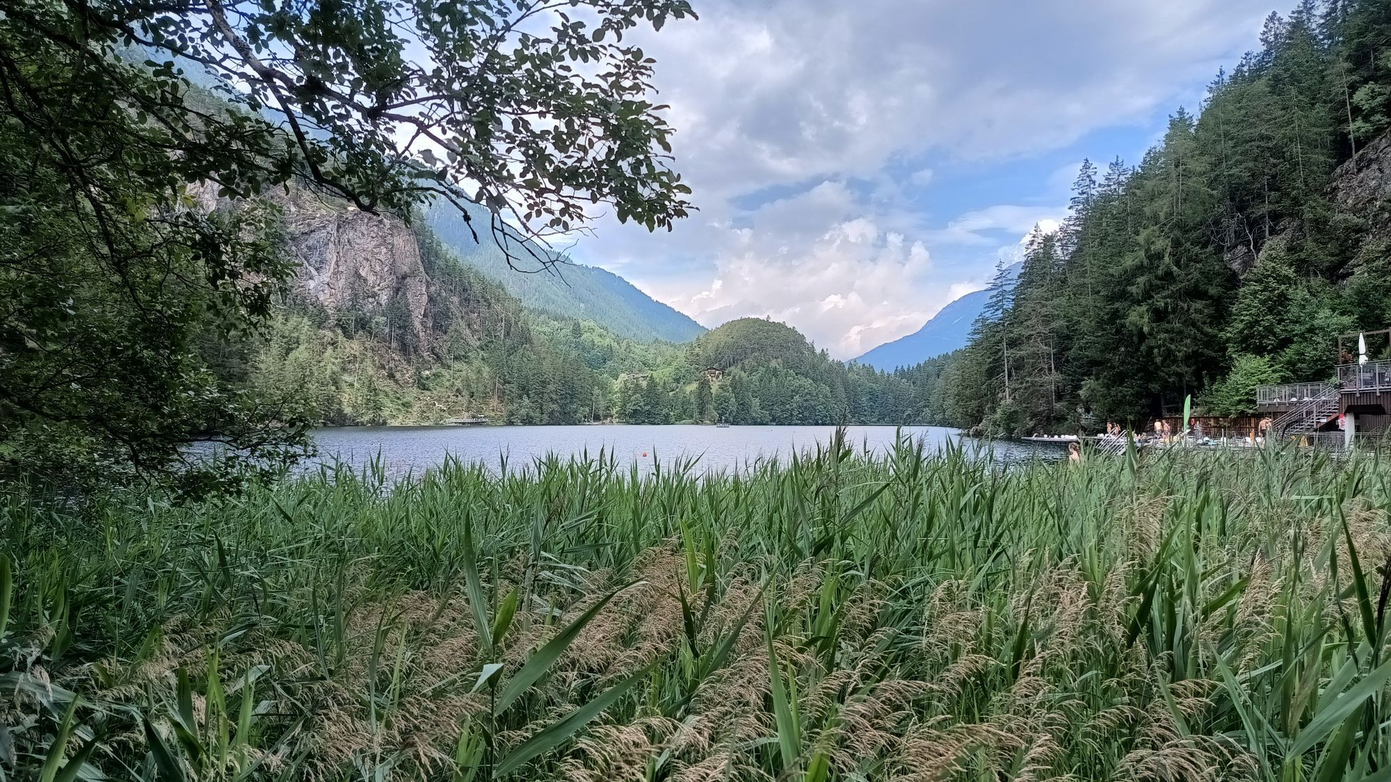
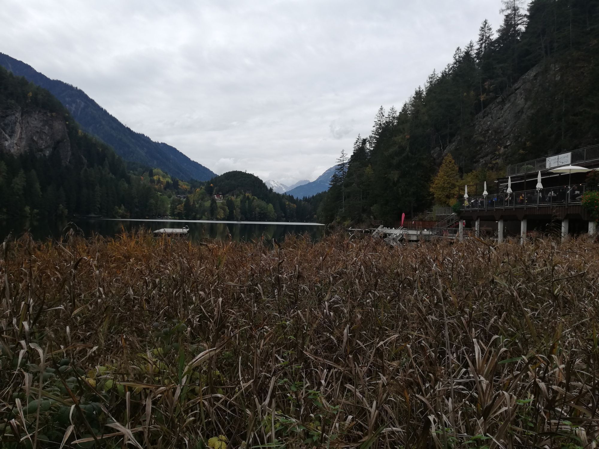
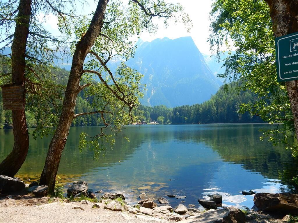
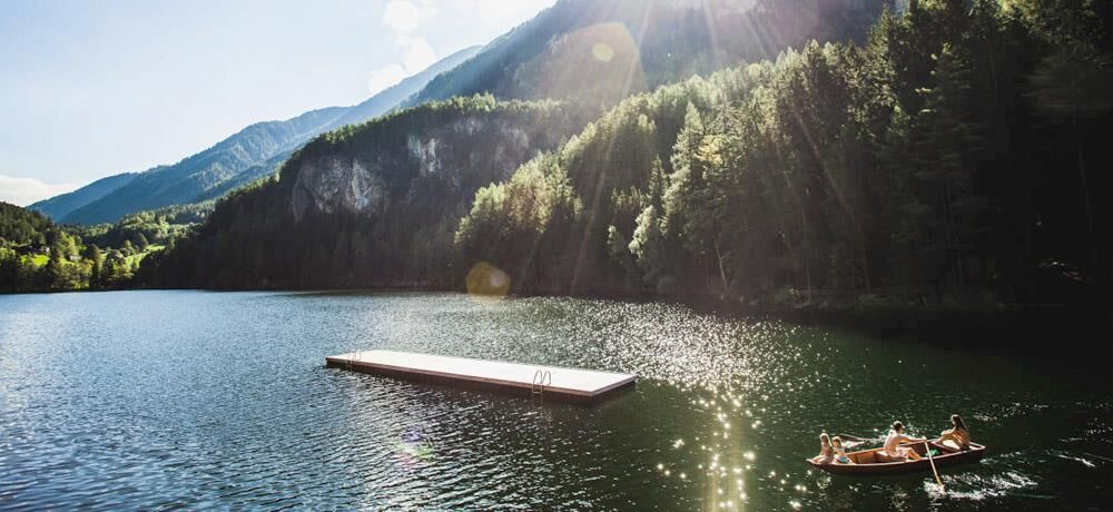
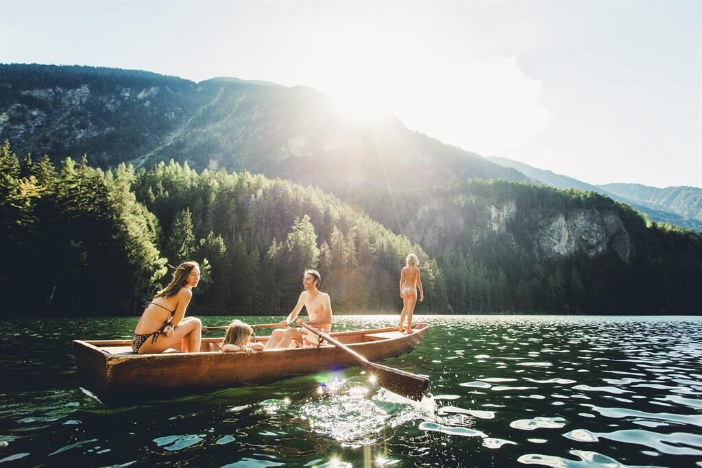
The Piburger See is the warmest natural bathing lake in Tyrol, with temperatures up to 24°C.
Webbkameror för rundturen
Populära turer i närområdet
-
4,6
Summit route Faltegartenköpfl
MediumVandring 4,04 km -
4,2
Hike Stuibenfall - Umhausen
ljusVandring 2,95 km -
4,4
Stuibenfall Umhausen circular hike
ljusVandring 9,32 km -
5,0
Larstigalm - Niederthai
ljusVandring 3,24 km -
4,6
Trip Tirol ➤ Hike to the Blue Grotto in Rosengarten Gorge Imst
MediumVandring 4,86 km -
4,8
Faltegartenköpfl (01)
ljusSkitour 4,19 km -
4,7
Umhausen - Stuibenfall - Umhausen
MediumVandring 7,94 km -
4,6
Summit route Weather Cross from Hochoetz
MediumVandring 3,06 km -
3,7
Auerklamm
MediumVandring 3,46 km -
5,0
"Miners trail"
MediumVandring 10,8 km

Vandring och spårning


Missa inte erbjudanden och inspiration inför nästa semester
Din e-postadress har lagts till på e-postlistan.