


Ai primi prati in quota, memorie di vita rurale ad Alba


Winterwanderung von Canazei nach Alba (Nr. 71)
Vom Tourismusbüro am Hauptplatz des Dorfes gehen Sie die Straße Strèda Roma hinunter, vorbei am Spielplatz. An der Kreuzung biegen Sie links in die Straße...
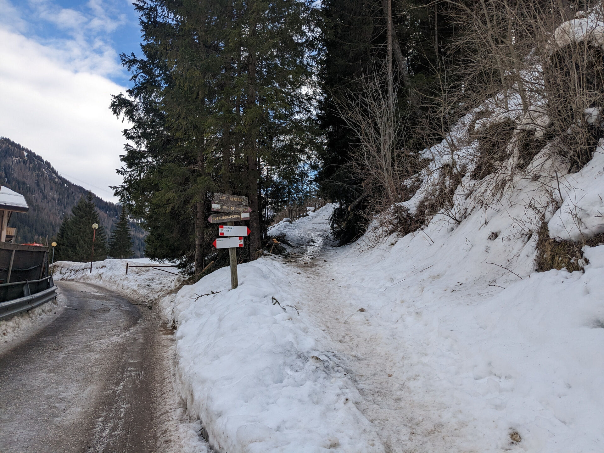
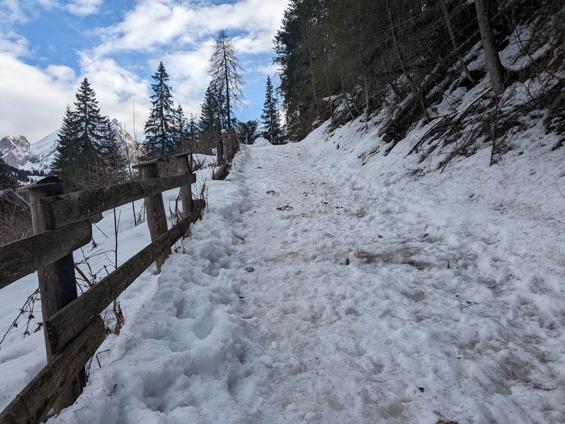
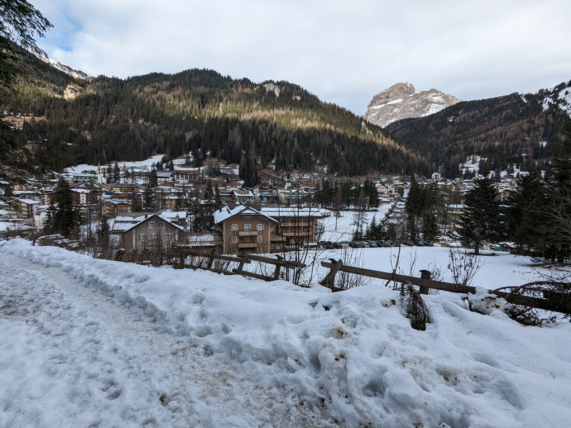
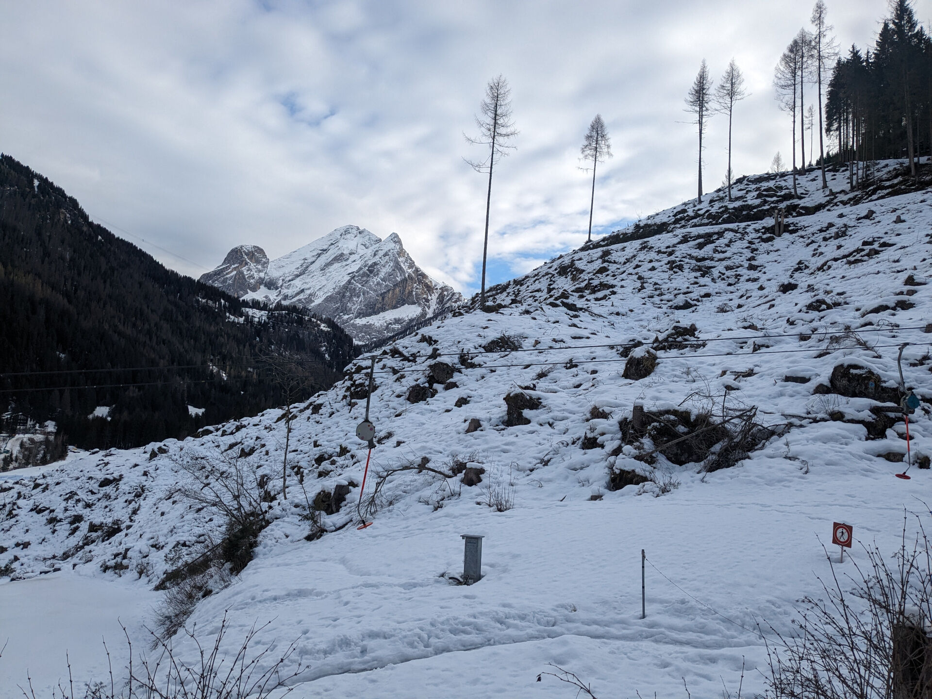
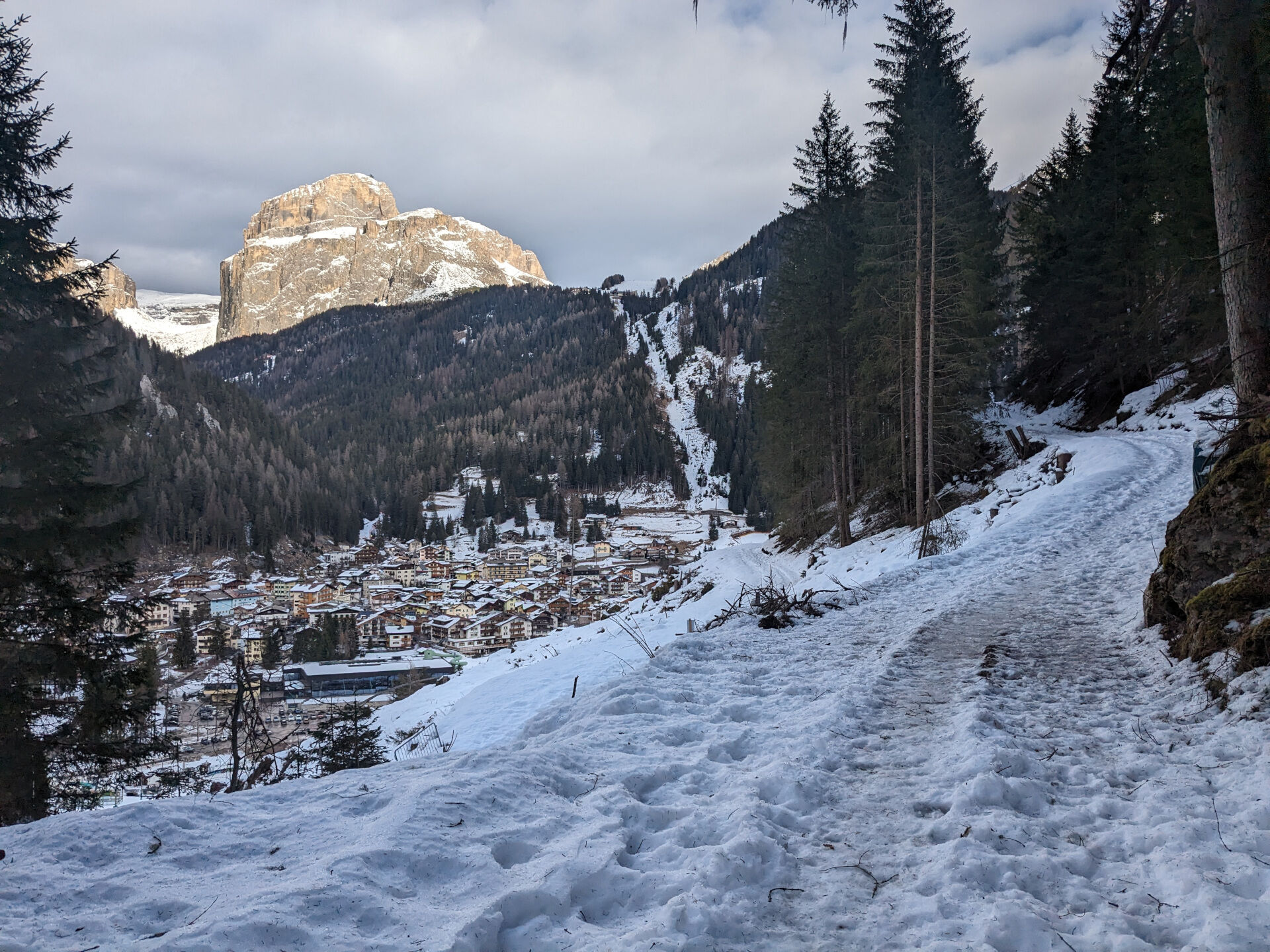
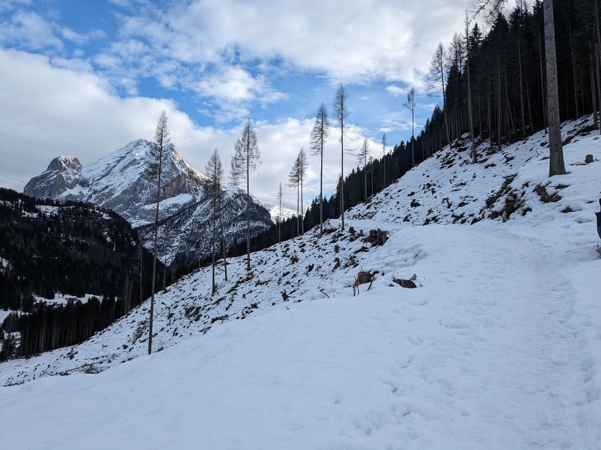
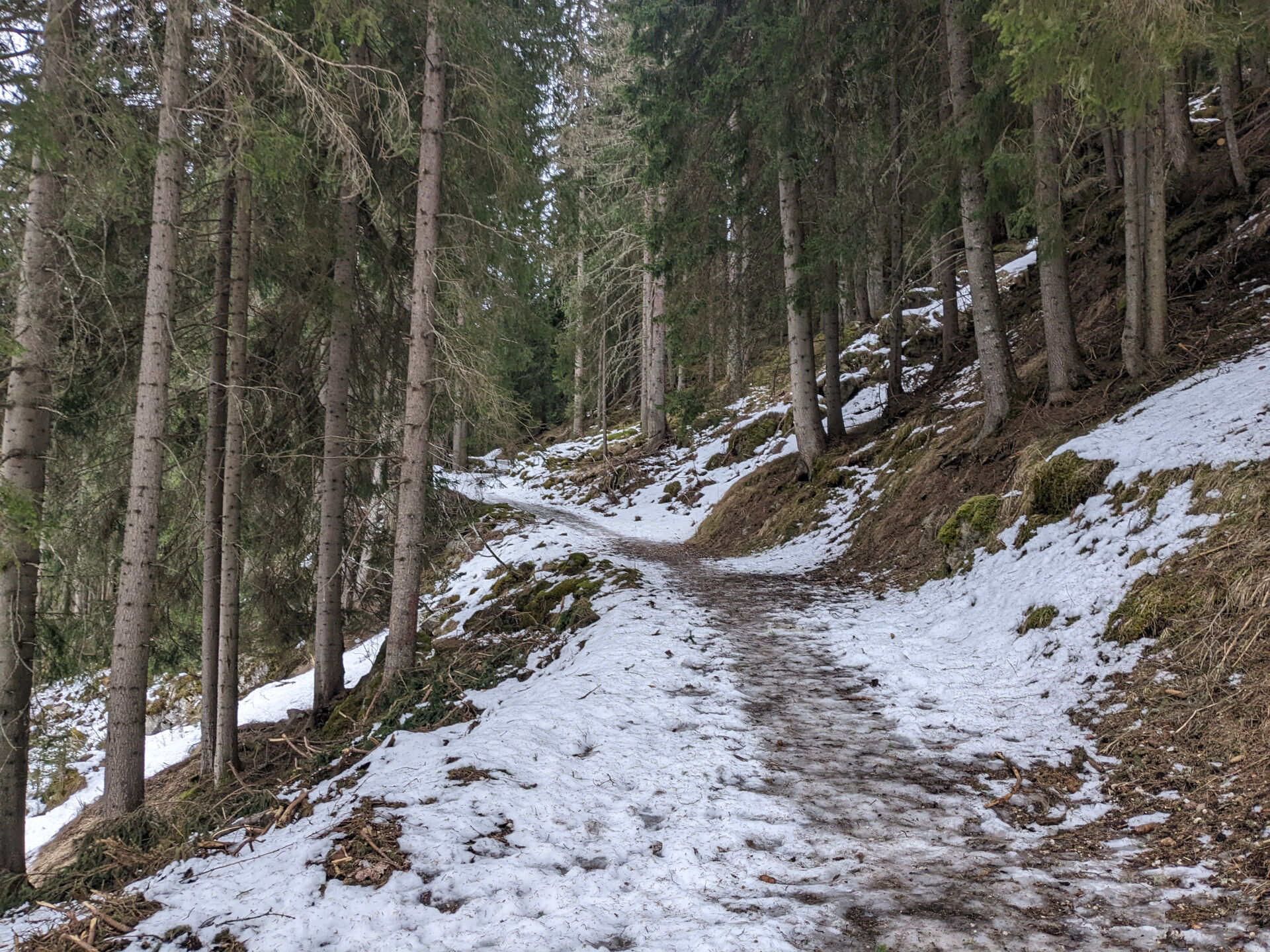
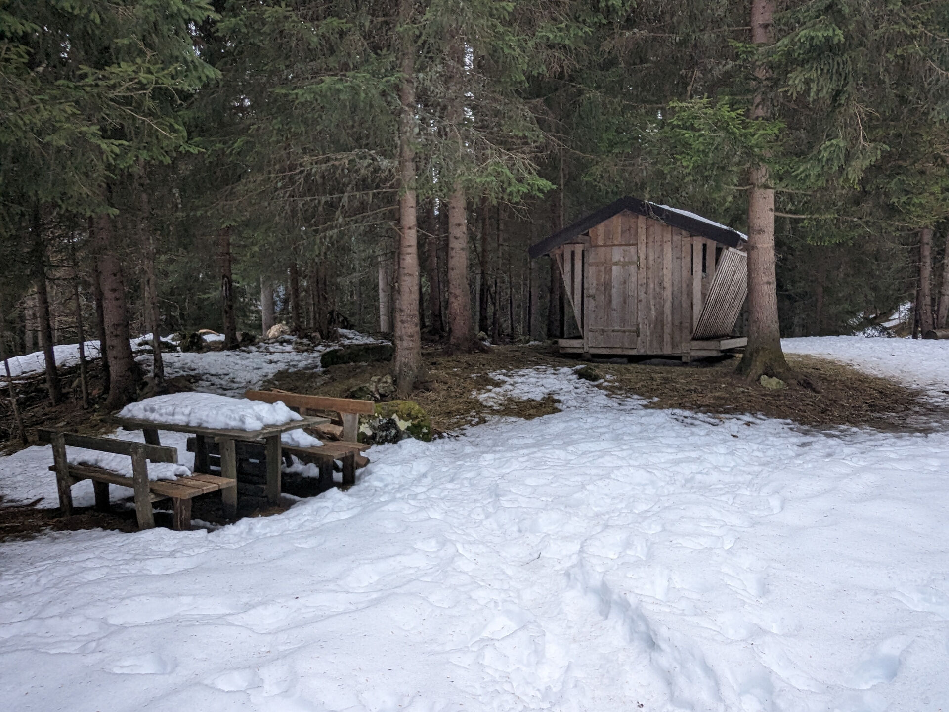
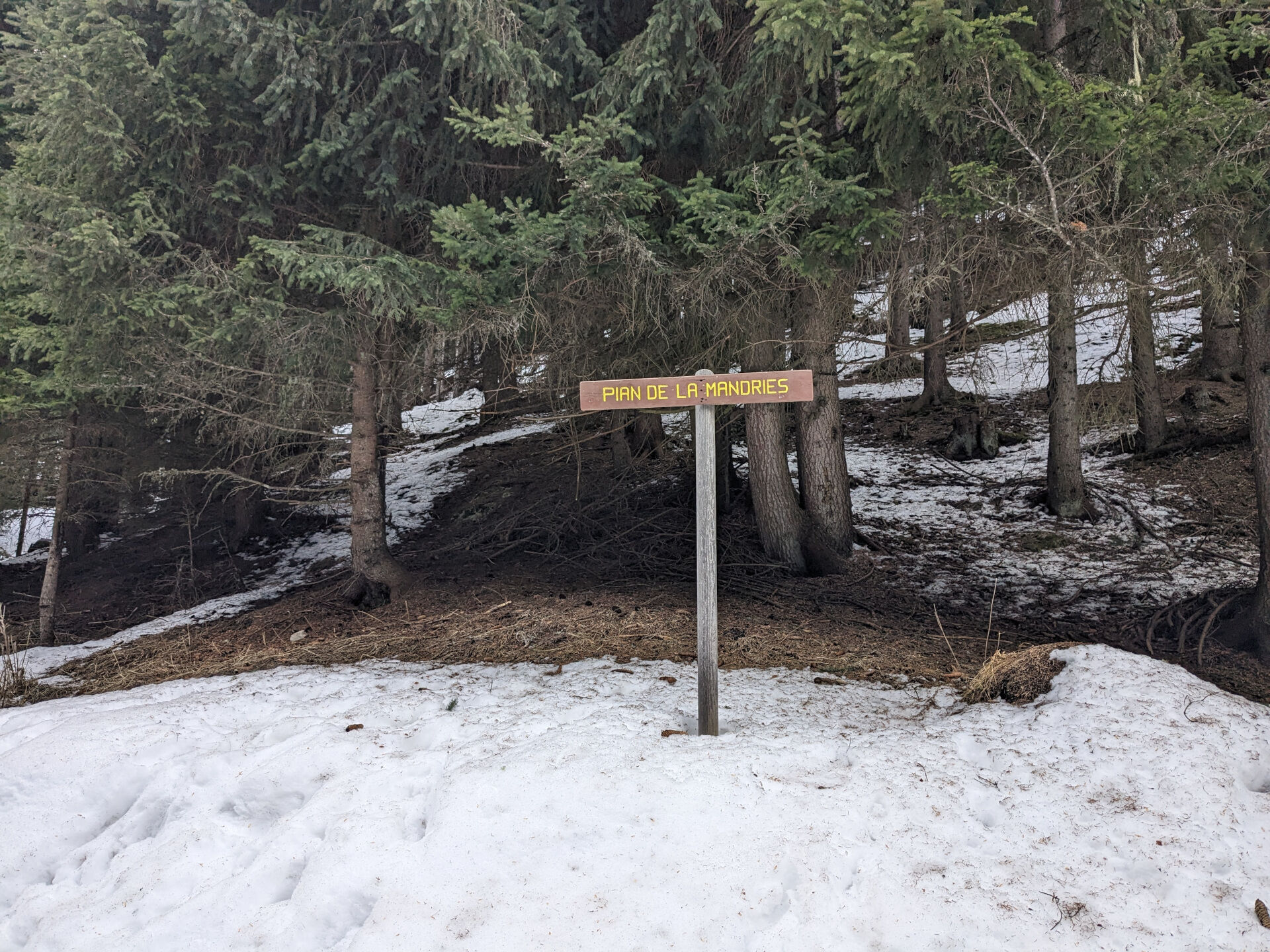
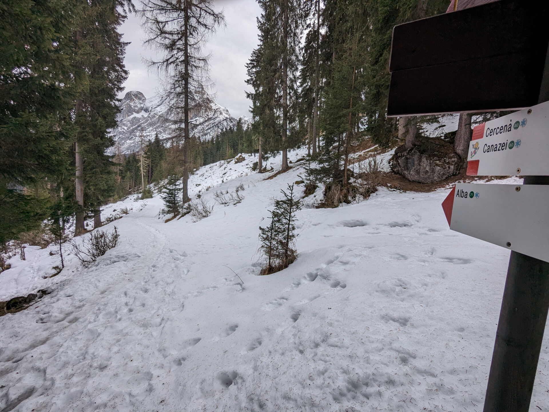
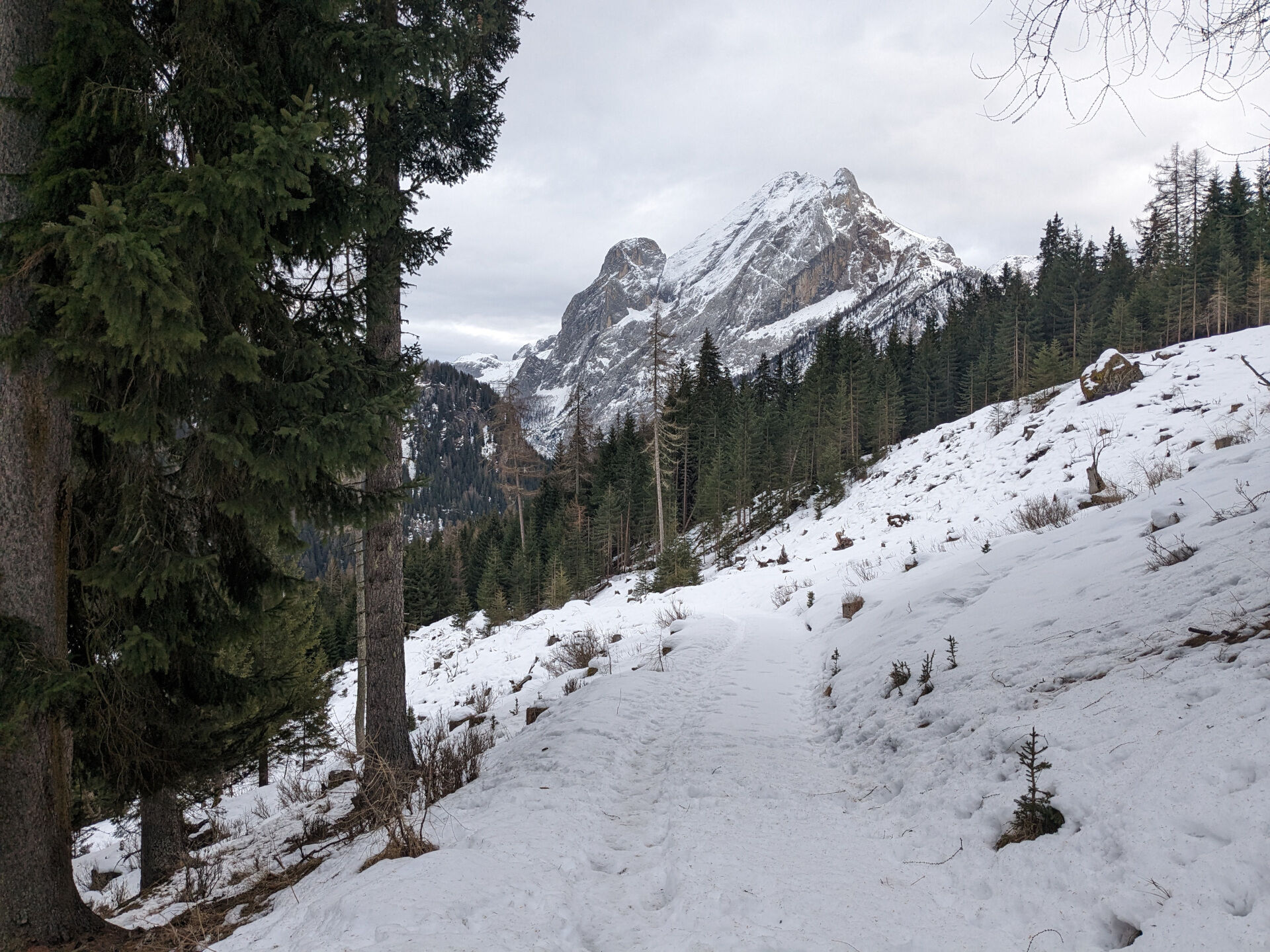
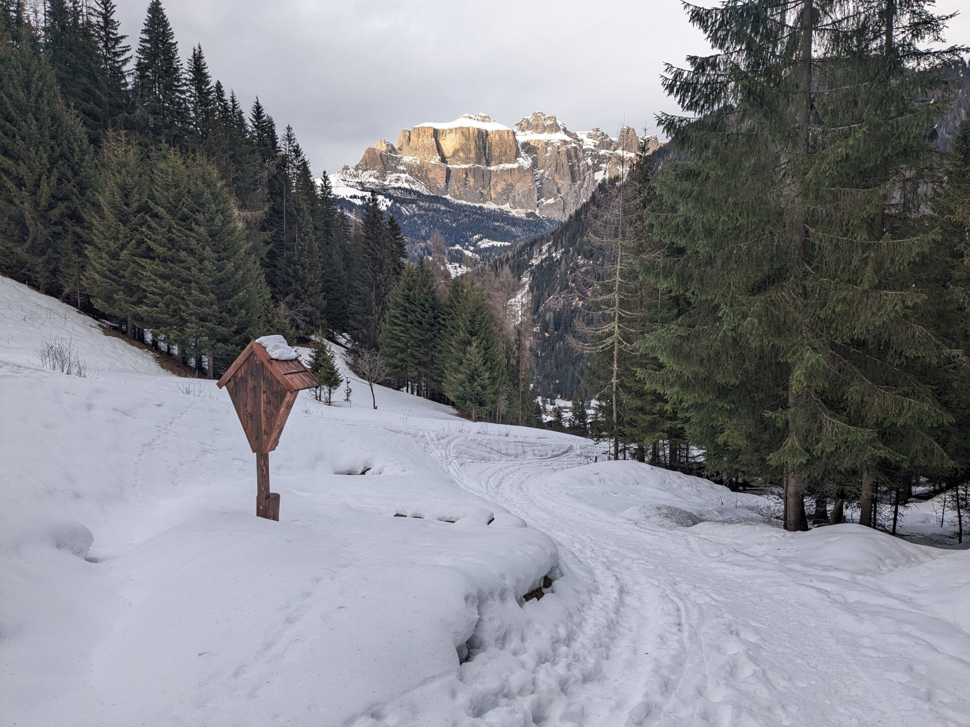
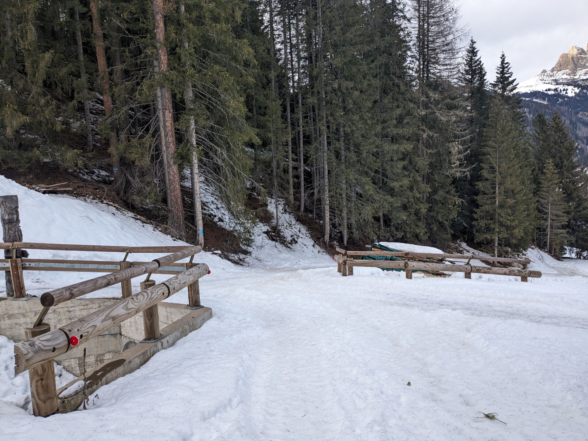
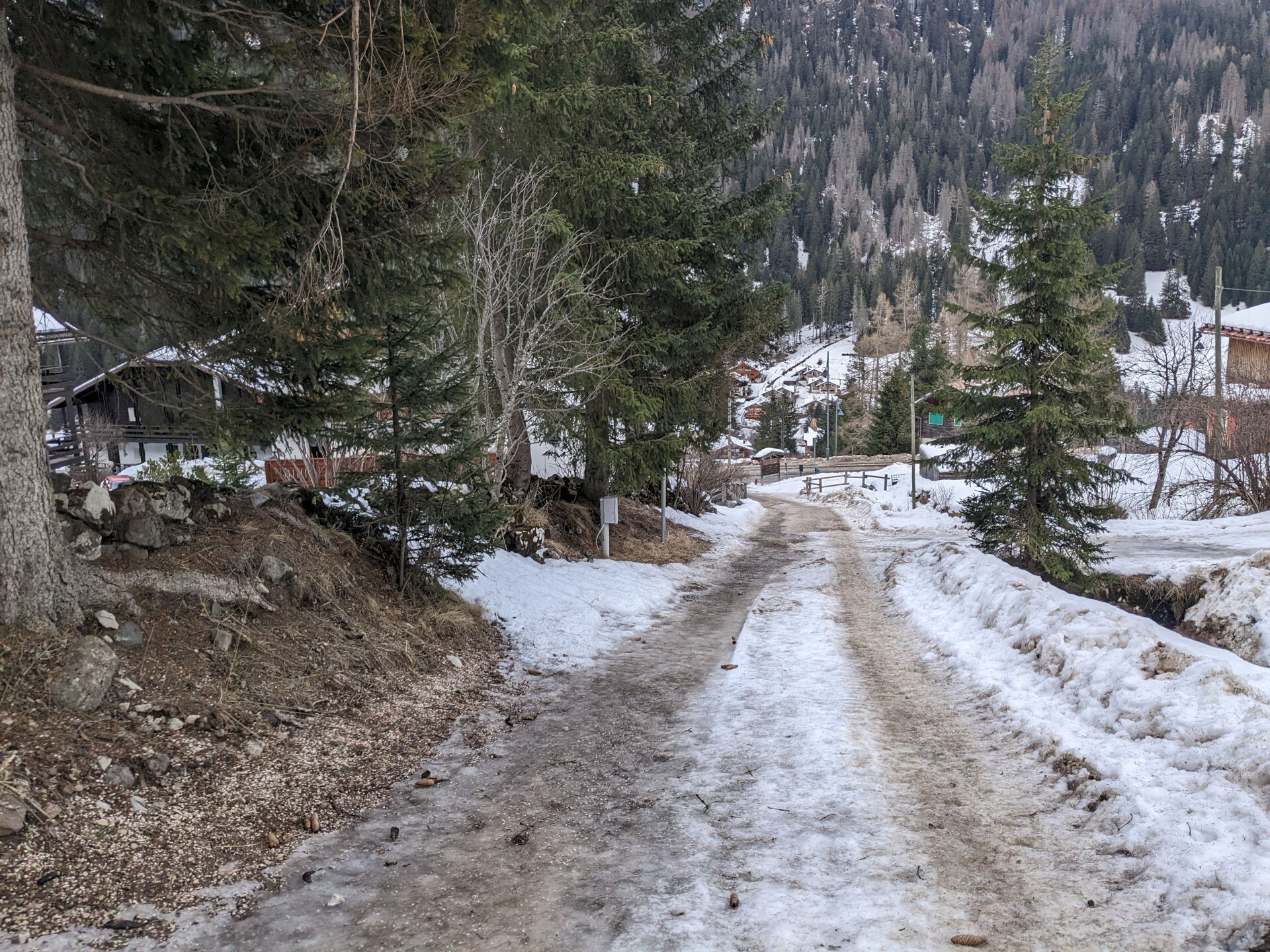
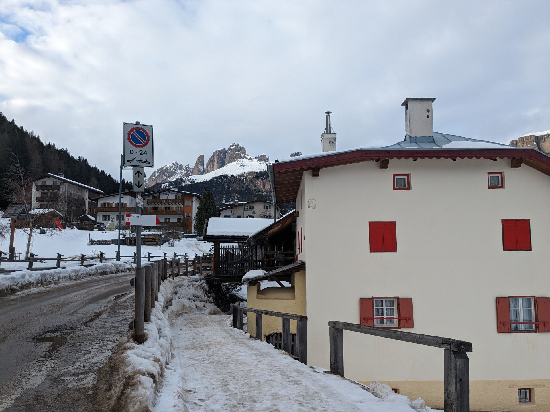
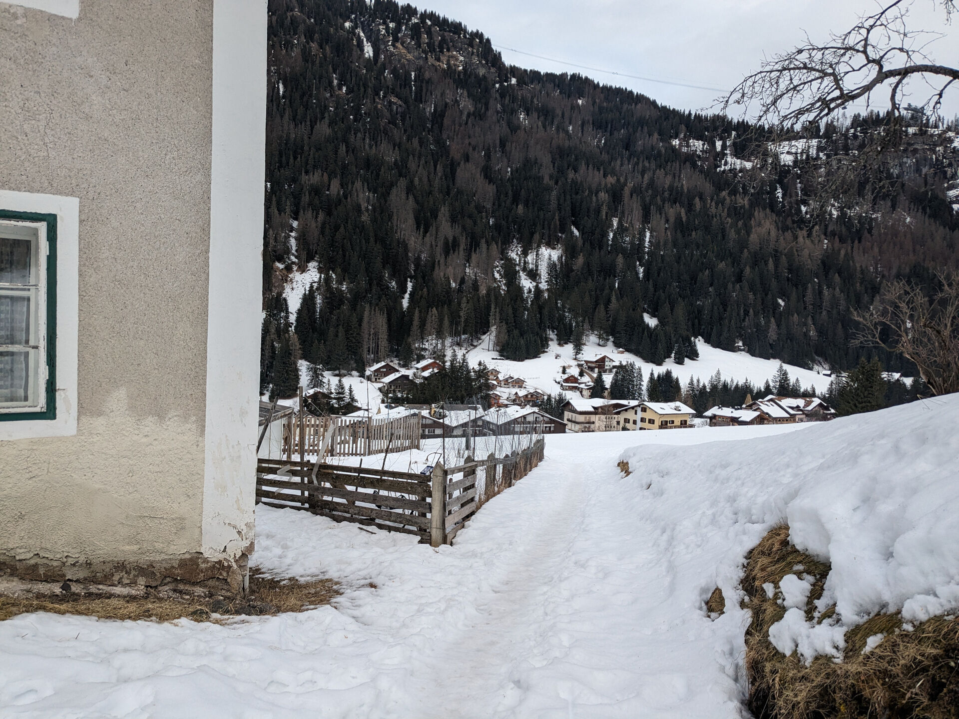
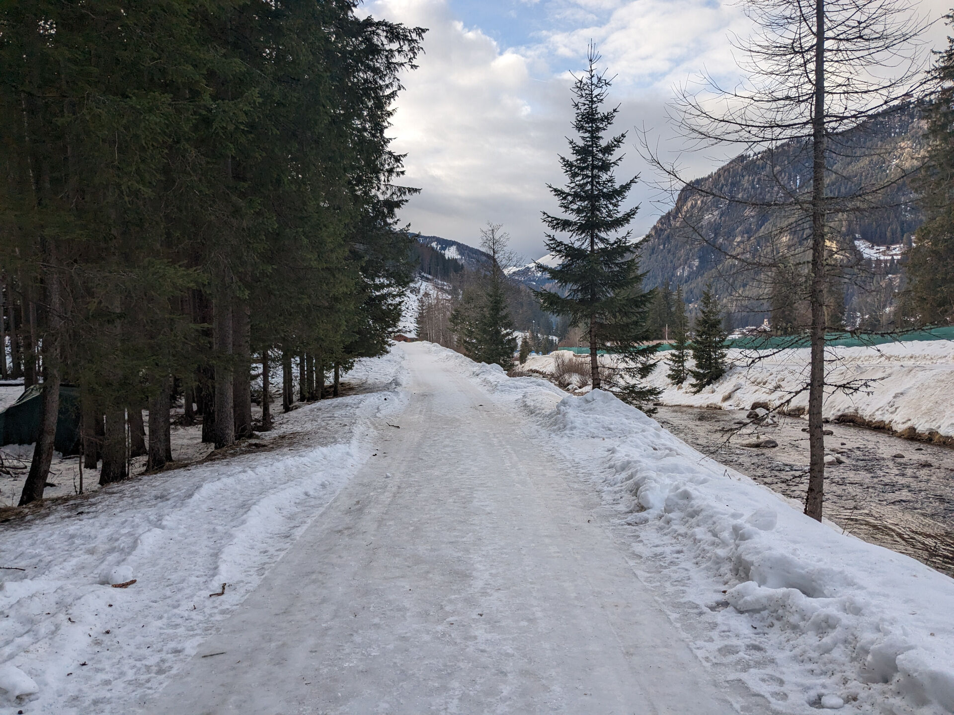
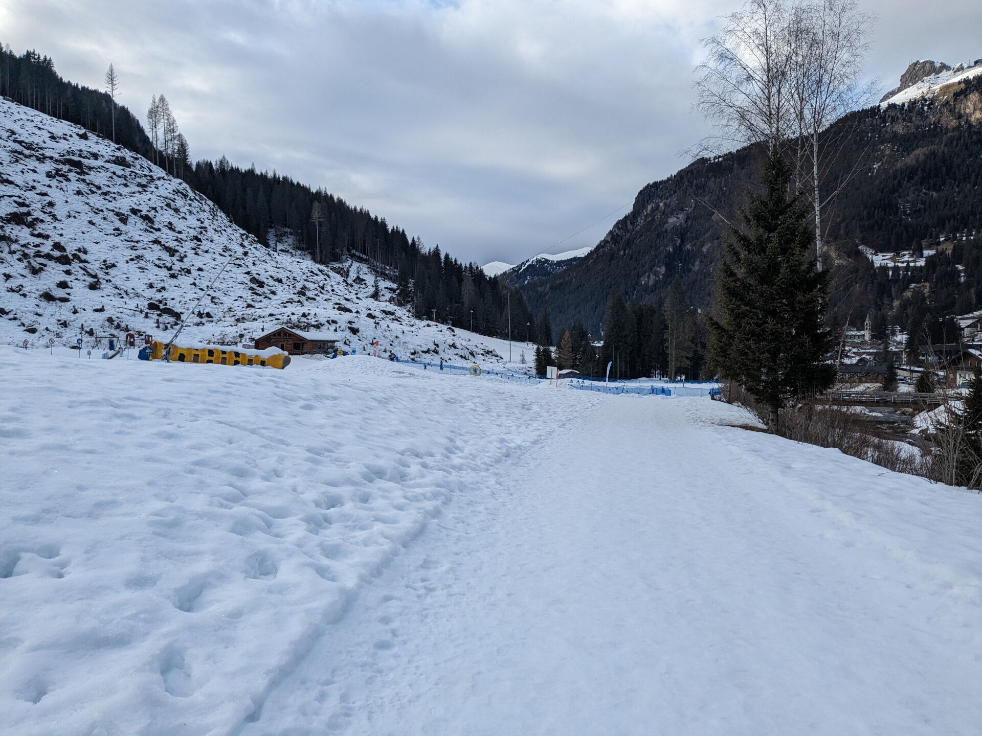
Vom Tourismusbüro am Hauptplatz des Dorfes gehen Sie die Straße Strèda Roma hinunter, vorbei am Spielplatz. An der Kreuzung biegen Sie links in die Straße Strèda de Cercenà in Richtung des Fußballplatzes ein. Kurz nach der Brücke über den Avisio-Fluss biegen Sie an der Abzweigung links in die Waldstraße "Ciof" ein. Halten Sie sich an den höher gelegenen Weg und lassen Sie die Umleitung, die zur Residence Villa Avisio und zum Skilift führt, beiseite. Die Pisteneigung ist über mindestens 1 km konstant. Am "Pian de la Mandres" sehen Sie einige Fresströge, die für die Waldtiere gebaut wurden. Nun gehen Sie weiter auf der Waldstraße "Poc". Nach einer kurzen, fast ebenen Strecke beginnt der Abstieg nach Alba. An der Kreuzung, an der sich ein Brunnen und ein schönes Kruzifix befinden, biegen Sie links ab und folgen dem Verlauf des Flusses "Ruf de Cernadoi". Sie kommen aus dem Wald heraus, biegen links ab und folgen zunächst ein kurzes Stück der Straße Strèda del Cuch und dann der Straße Strèda de Sorapera bis zu den ersten Häusern des gleichnamigen Ortsteils oberhalb von Alba. Rechts unterqueren Sie einen charakteristischen Holzsteg, der als Eingang zu einem historischen Haus dient, hinter dem Sie rechts abbiegen. Nun gehen Sie geradeaus durch die Wiesen hinunter, erreichen und überqueren die Hauptstraße von Alba und gehen weiter auf dem Bürgersteig. Folgen Sie dem Weg in Richtung Süden bis zum Bevölkerungsschutzzentrum. Sie gehen auf die gegenüberliegende Seite, um vor der Brücke "Pènt de la Roa" auf der linken Seite den Weg "Ciasates" zurück nach Canazei zu nehmen. Von der Mitte der Route aus können Sie an mehreren Stellen den Avisio-Fluss überqueren, um zu den Parkplätzen des Schwimmbads Dòlaondes zu gelangen, oder Sie können den Weg nehmen, der sich mit dem eingangs erwähnten Waldweg kreuzt.
Falls Sie es in Alba di Canazei beginnen möchten, folgen Sie der Wegbeschreibung Nr. 80.


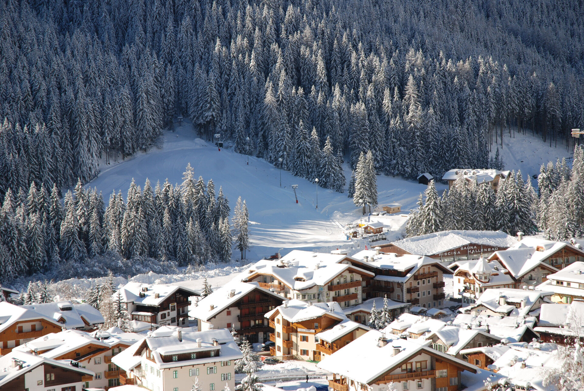
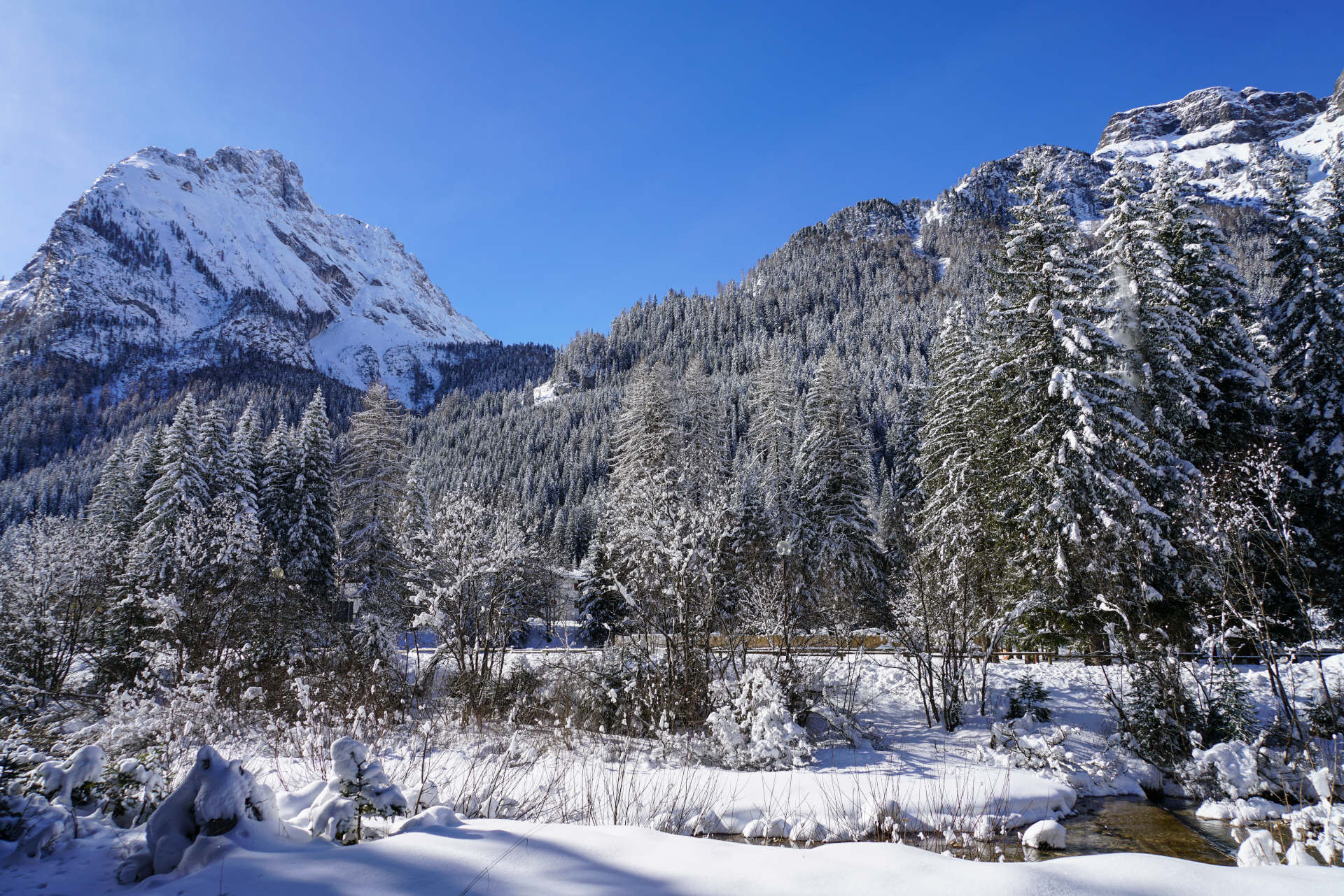
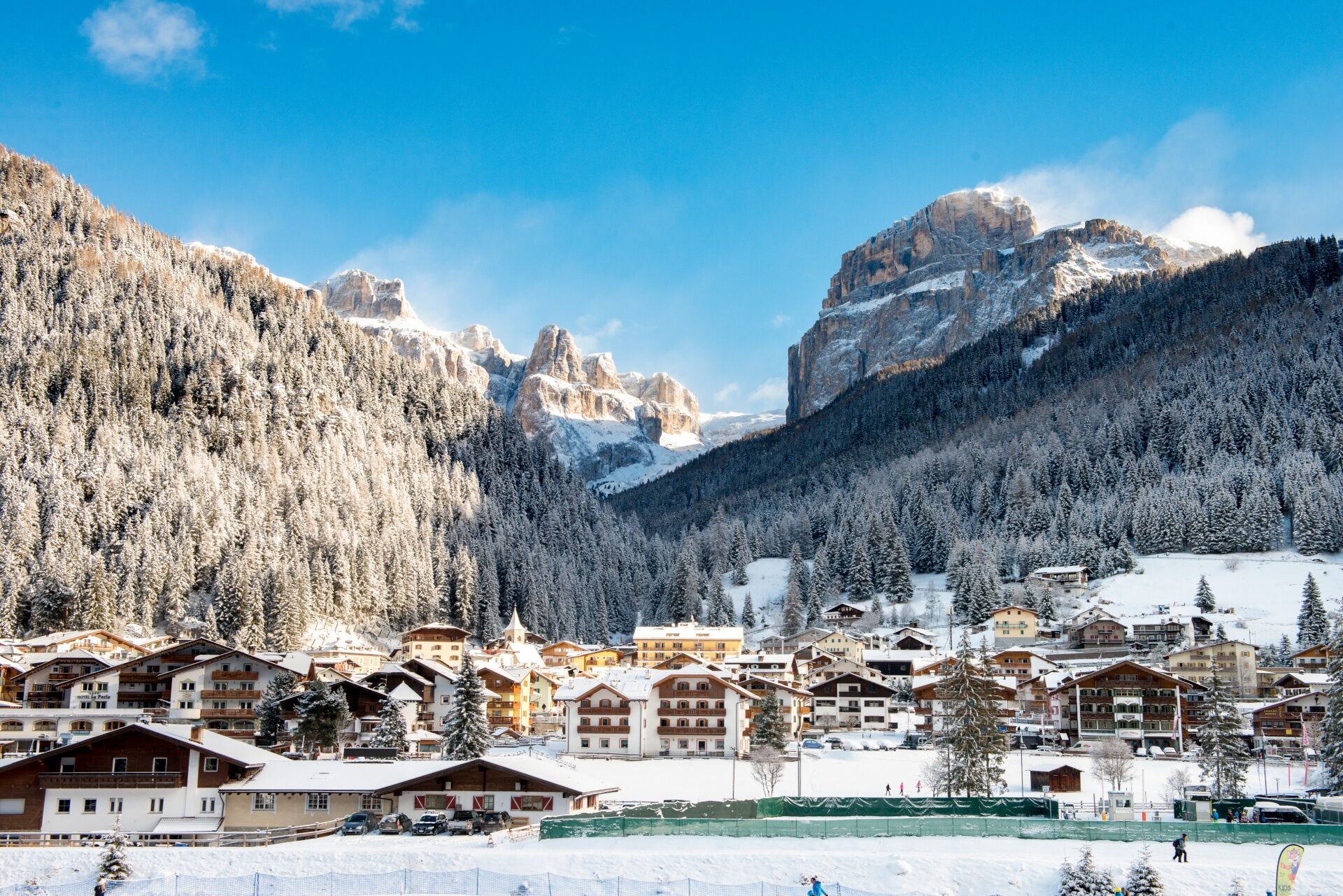
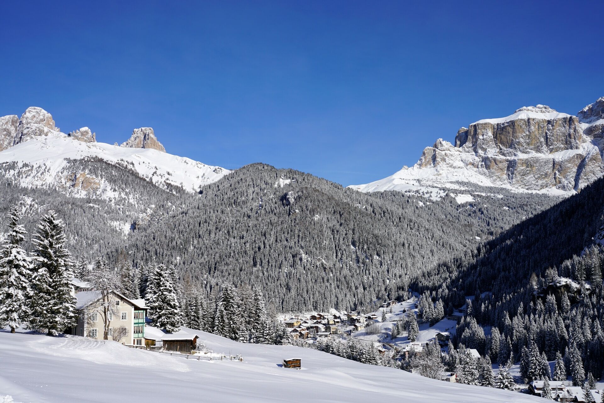
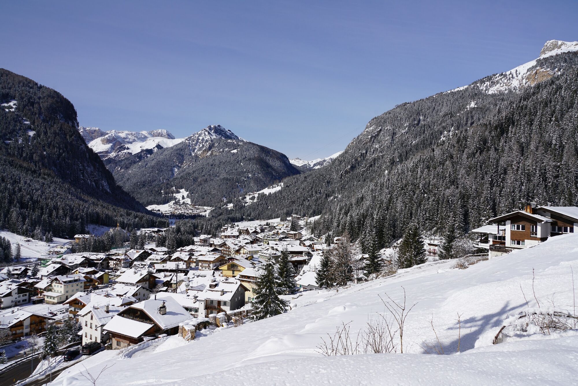
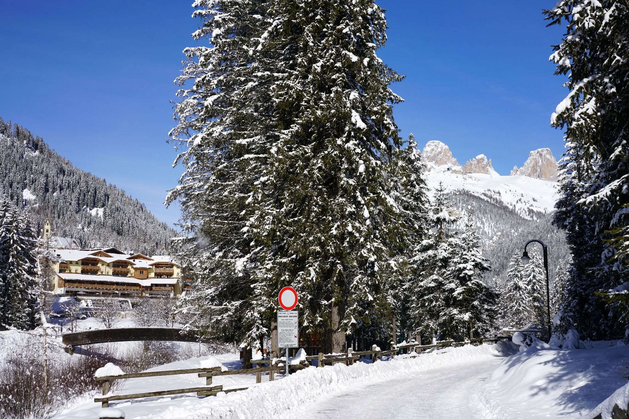
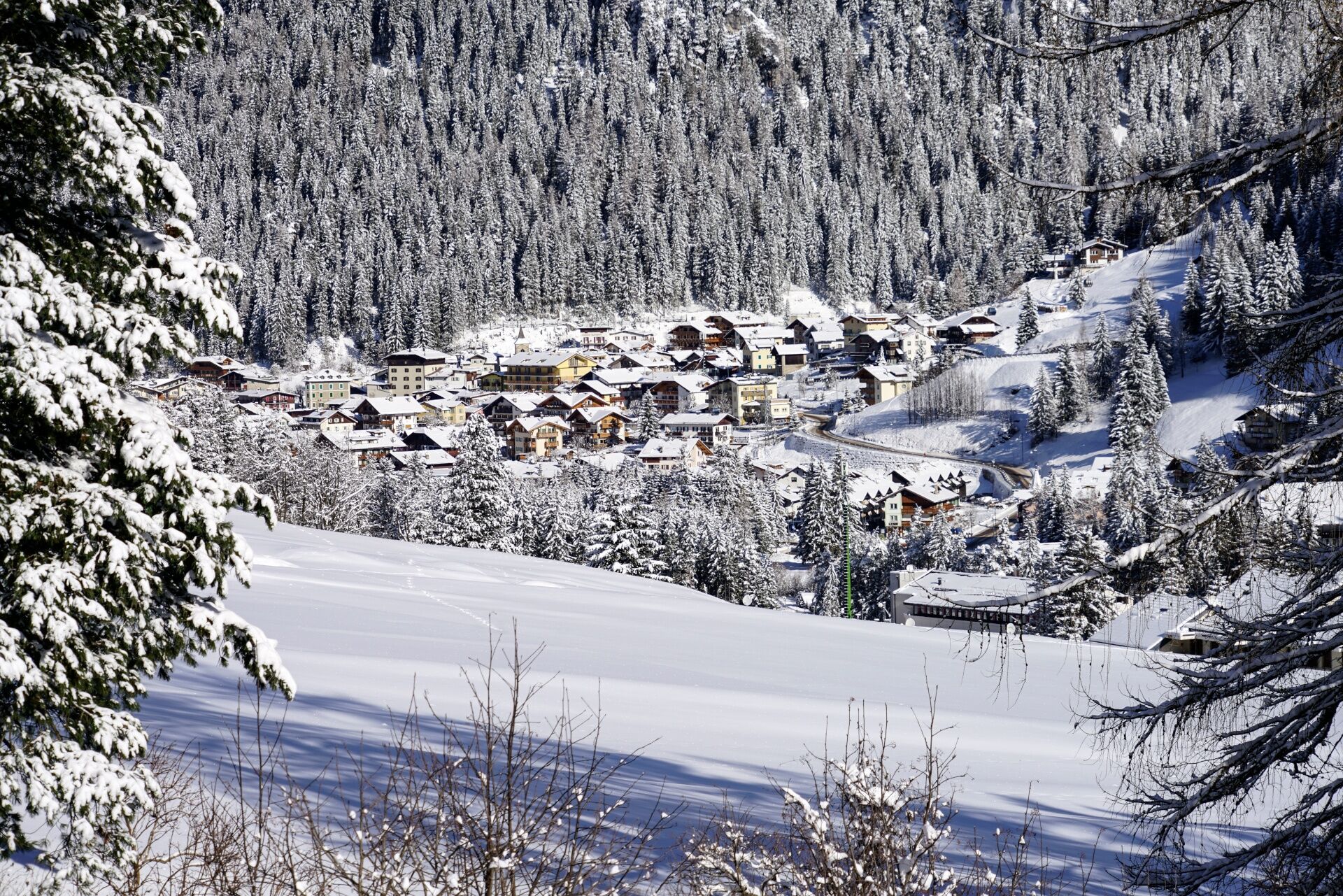
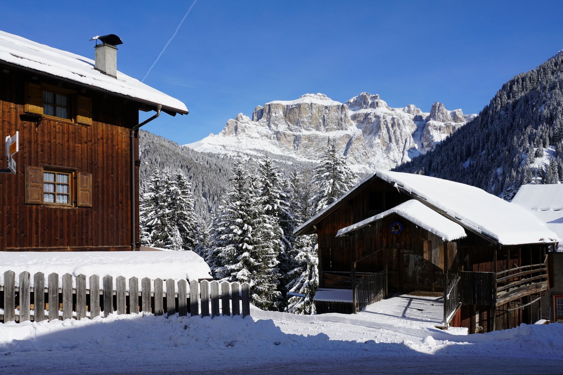
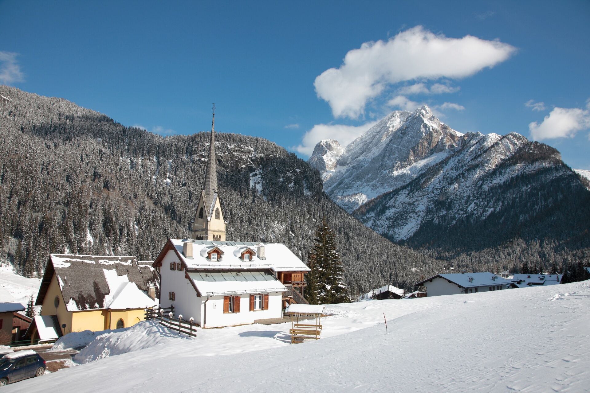

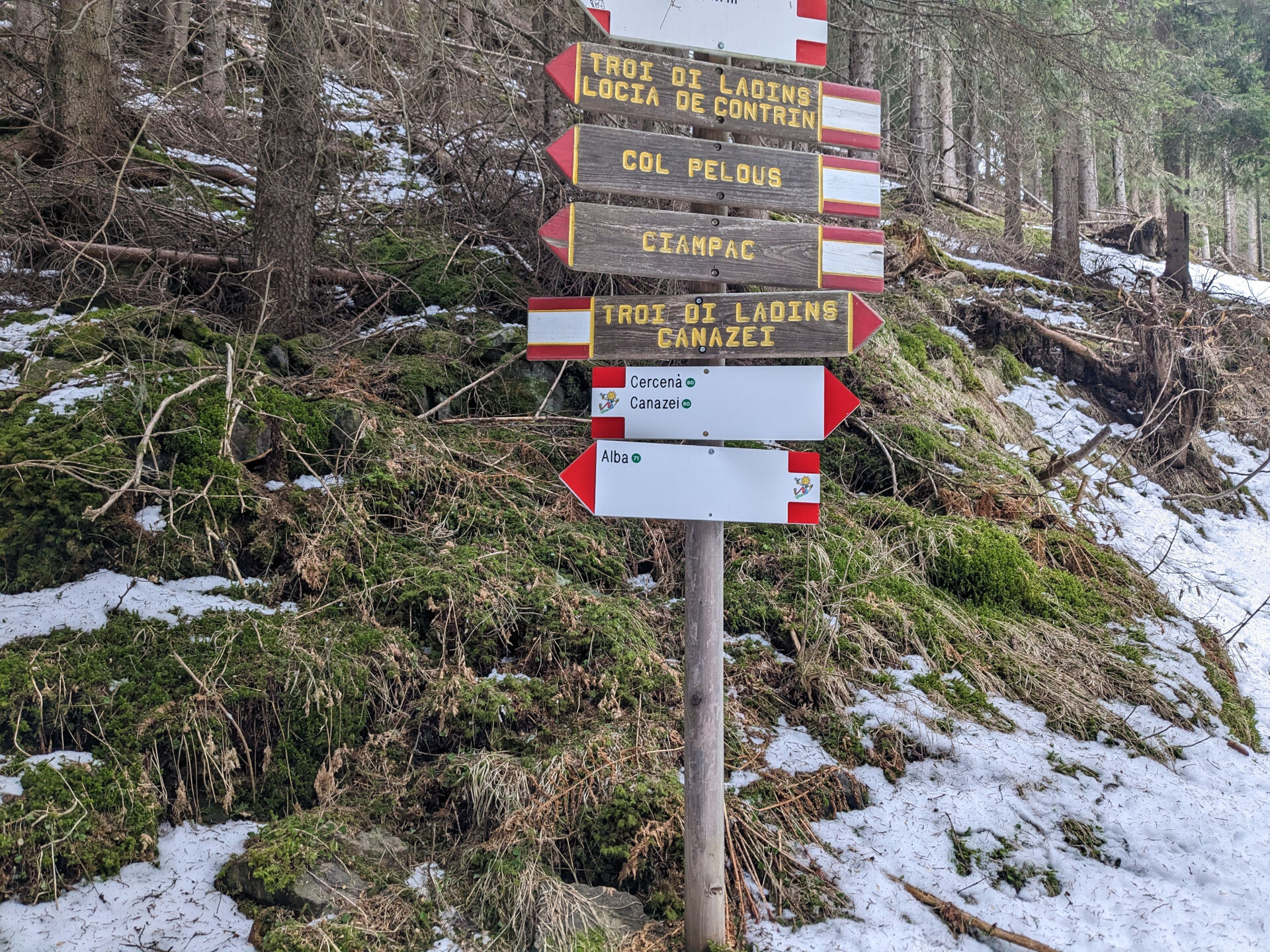
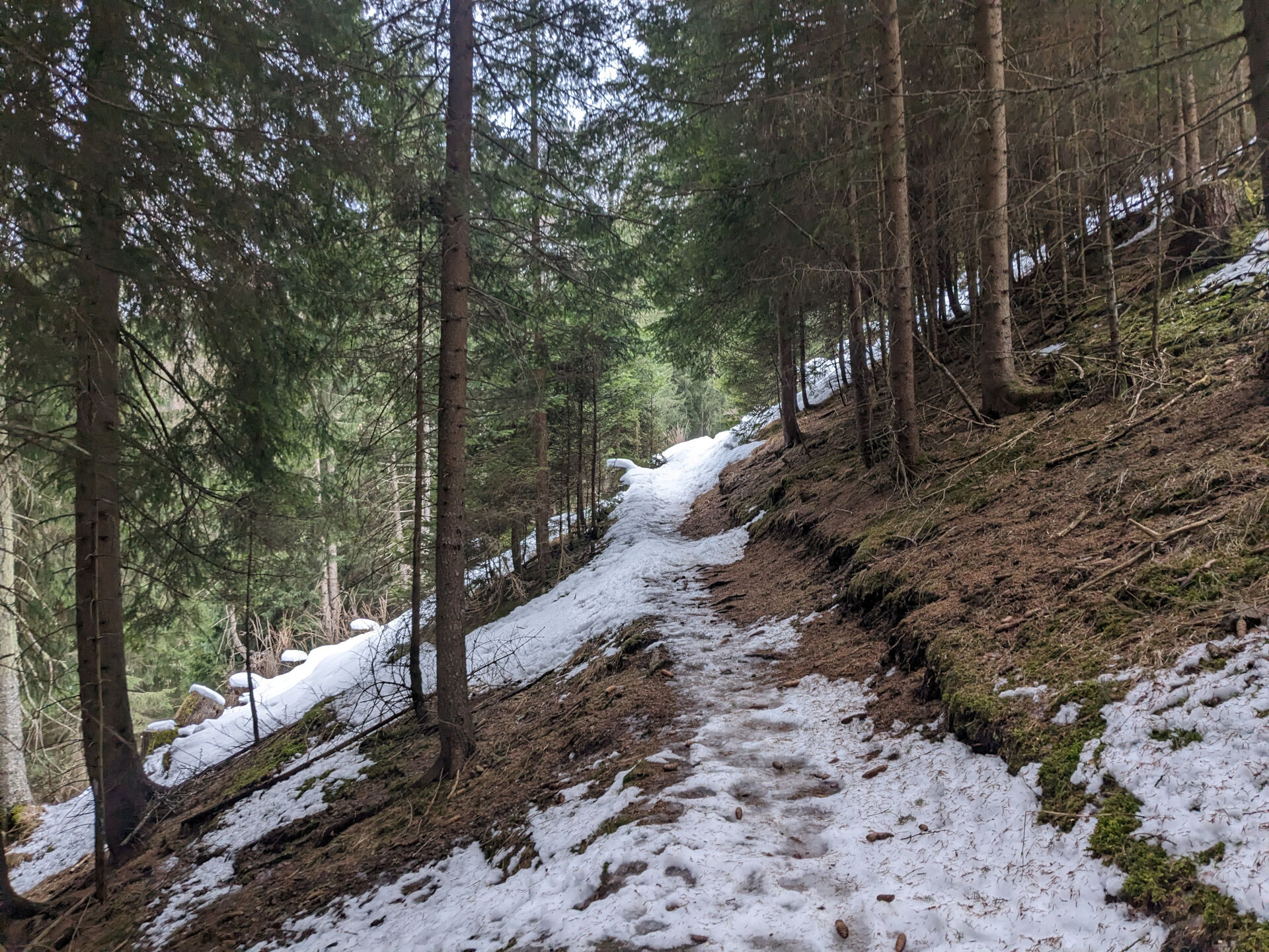
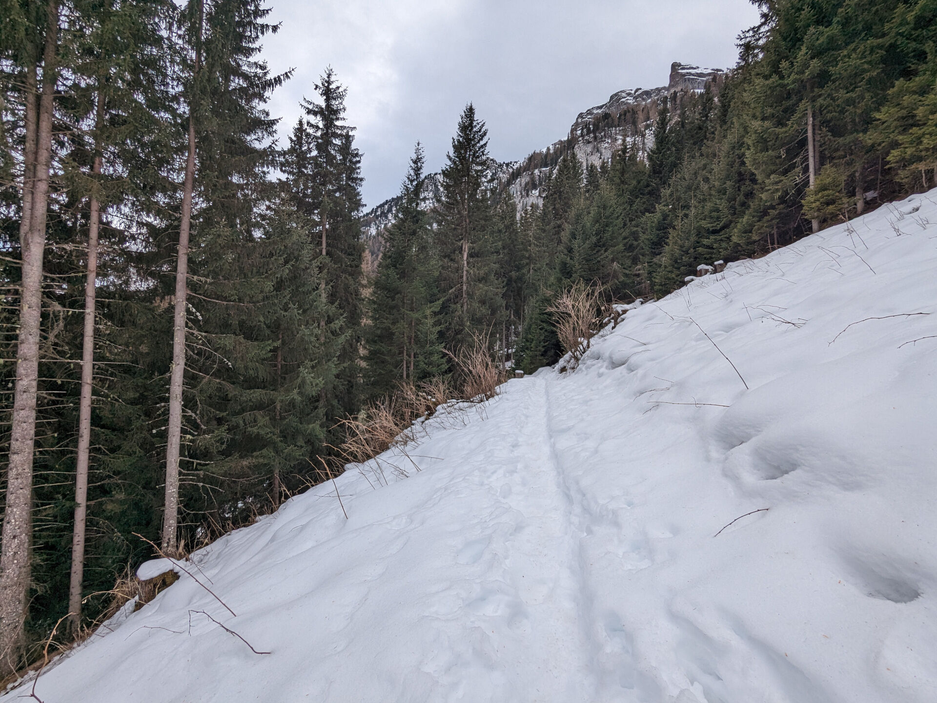
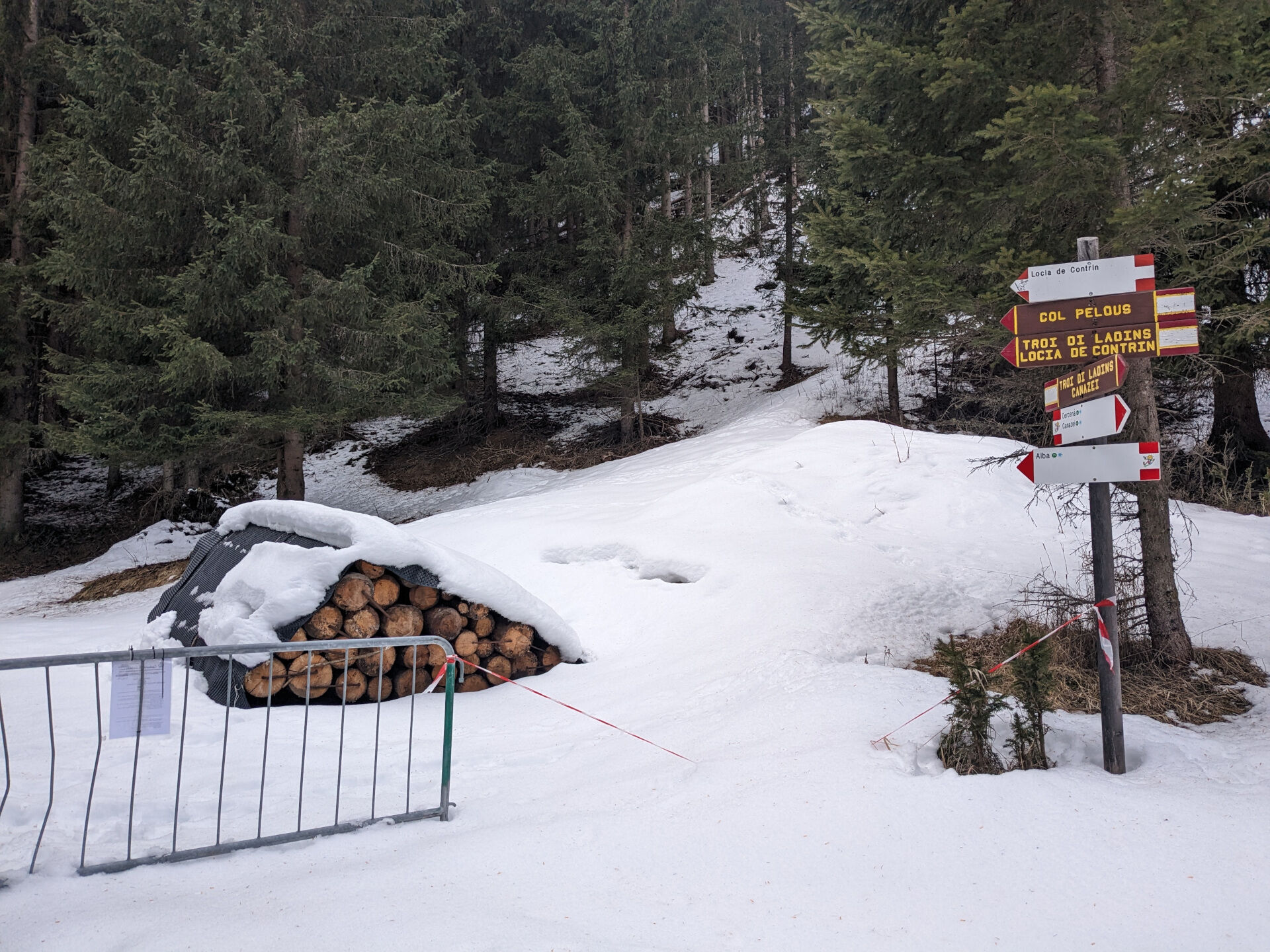

Passeggiata invernale da Canazei ad Alba (n. 71)
Parti dall’ufficio turistico nella piazza centrale di Canazei e scendi lungo Strèda Roma, passando accanto al parco giochi. All’incrocio, svolta a sinistra su Strèda de Cercenà e prosegui in direzione del campo da calcio. Superato il ponte sull'Avisio, al bivio sali a sinistra lungo la strada forestale del "Ciof". Mantieniti sul sentiero più alto, ignorando la deviazione che porta al Residence Villa Avisio e allo skilift. La pendenza resta costante per circa 1 km. In località "Pian de la Mandres", noterai delle mangiatoie per gli animali del bosco. Continua sulla strada boschiva "Poc": dopo un breve tratto pianeggiante, inizia la discesa verso Alba. Arrivato a un bivio con una fontana ed un bel crocifisso, vai a sinistra, seguendo il corso del Ruf de Cernadoi. Esci dal bosco e raggiungi le prime case di Sorapera. Qui, prendi a sinistra, percorrendo un breve tratto di Strèda del Cuch, poi continua su Strèda de Sorapera fino alla chiesa di Sant'Antonio Abate. Raggiunta la strada statale, passa accanto alla piazzetta con la bella e artistica fontana coperta e segui il marciapiede in direzione nord. Dopo poco, imbocca sulla sinistra Strèda Antersief che porta allo stadio del ghiaccio. Gira attorno all’edificio, supera il ponte sulla destra e prosegui su Strèda dò Veisc, una tranquilla stradina asfaltata perlopiù pianeggiante che costeggia l’Avisio. Ora attraversa la strada statale e immettiti sulla stradina sterrata di fronte che rientra in centro a Canazei lungo la sponda destra del fiume.
Se preferisci partire da Alba di Canazei, segui le indicazioni della passeggiata n. 80.
Ensure you are properly equipped with hiking boots, crampons, and poles, and carry essential items in your backpack for potential emergencies, including a basic first aid kit.
1. Plan your hike according to your abilities, the weather, the characteristics, and conditions of the itinerary as well the avalanche risk.
2. Always prefer being accompanied by somebody. If possible, rely on a professional mountain guide.
3. Make sure you have suitable clothes and equipment (boots, crampons, and poles).
4. Inform somebody of your itinerary, return time, and possible changes.
5. Take it easy, enjoy the landscape and the silence.
6. If uncertain about the direction, turn back.
7. Stay out of cross-country and alpine skiing slopes.
8. Respect the environment around you. Bring back your rubbish.
9. Bring your pet along, but keep it on a leash.
10. Help those in need. Call the European emergency number 112 only in case of real necessity.
exit Ora/Egna, S.S. 48 delle Dolomiti - San Lugano Pass - Val di Fiemme - Val di Fassa (distance 45 km). At the roundabout in Moena (industrial area), proceed towards Canazei exit Bolzano Nord, S.S. 241 Grande Strada delle Dolomiti - Carezza Pass - Vigo di Fassa (distance 40 km). From Vigo, head north for Canazei, head south for Soraga di Fassa and Moena
Other access points to Val di Fassa:
from A27 motorway (Venezia), exit Belluno/Ponte nelle Alpi, S.S. 203 to Agordo and S.P. 346 to San Pellegrino Pass - Moena (Val di Fassa). At the roundabout in Moena, proceed towards Canazei from A27 motorway (Venezia), exit Belluno/Ponte nelle Alpi, S.S. 203 to Agordo/Alleghe/Rocca Pietore. S.P. 641 to Fedaia Pass - Canazei coming from Arabba, S.S. 48 to Pordoi Pass - Canazei from Val Gardena, S.S. 242 to Sella Pass - Canazei
line no. 101 Canazei - Cavalese - Trento line no. 104 Cavalese - Ora - Trento line no. 123 Moena - San Pellegrino Pass - Falcade
Public transport lines SAD - Val di Fassa:
line no. 180 Vigo di Fassa - Carezza Pass - Bolzano
- Nearest bus stop (Trentino Trasporti): Canazei > Piaz G. Marconi (square)
- Nearest ski bus stop: Canazei > Piaz G. Marconi (square)
Parking at the Dòlaondes Aquatic Centre.
Tourist Board Val di Fassa
Strèda Roma, 36
38032 Canazei (TN)
Phone +39 0462 609500
info@fassa.com
www.fassa.com
The tracks are primarily beaten only by foot traffic and are not subject to mechanical maintenance or grooming services. Specific signs marking the itinerary are not present along the route.
Pay close attention to the terrain at all times, as icy and slippery sections can occur, especially in shaded areas.
No refreshment points along the route.
Webbkameror för rundturen
-
Bergstation Col de Valvacin
-
Bergstation Col de Valvacin
-
Bergstation Col de Valvacin
-
Bergstation Col de Valvacin
-
Bergstation Col de Valvacin
-
Bergstation Col de Valvacin
-
Bergstation Col de Valvacin
-
Bergstation Col de Valvacin
-
Bergstation Col de Valvacin
-
Col dei Rossi
-
Bergstation Col de Valvacin
-
Rifugio Maria Sass Pordoi
-
Città dei Sassi
-
Arabba - Passo Pordoi
-
Col dei Rossi
-
Col dei Rossi
-
Col dei Rossi
-
Campitello di Fassa - Col Rodella
-
Col dei Rossi
-
Col dei Rossi
-
Col dei Rossi
-
Col dei Rossi
-
Col dei Rossi
-
Canazei - Ciampac
-
Canazei - Ciampac
-
Canazei - Ciampac
-
Canazei - Ciampac
-
Arabba - Passo Pordoi
-
Col dei Rossi
-
Col dei Rossi
-
Col dei Rossi
-
Col dei Rossi
-
Col dei Rossi
-
Passo Sella - Hotel Maria Flora
-
Passo Sella - Hotel Maria Flora
-
Passo Sella - Hotel Maria Flora
-
Passo Sella - Hotel Maria Flora
-
Passo Sella - Hotel Maria Flora
-
Passo Sella - Hotel Maria Flora
-
Passo Sella - Hotel Maria Flora
Populära turer i närområdet
-
4,8
Langkofel-Umrundung
MediumVandring 12,9 km -
4,7
Anello Passo Pordoi-Forcella P-Piz Boè
MediumVandring 10,6 km -
4,6
Passo Pordoi - Sass Pordoi - Forcella Pordoi - Piz Boè - Rifugio Boè - Forcella Pordoi - Passo Pordoi
tungVandring 8,39 km -
4,4
Dolomiten Sellagruppe, Alb. Col di Lana, Sas de Pordoi, Piz Boé retour 22.06.2016
MediumVandring 5 km -
4,6
Umrundung Langkofel und Plattkofel, Gipfel Plattkofel
tungVandring 21,8 km -
4,9
Lang- und Plattkofel Umrundung
MediumVandring 17,5 km -
3,8
Der Friedrich-August-Weg
MediumVandring 10,4 km -
4,2
Rundwanderung Compatsch-Schlernhaus-Tierser Alpl
MediumVandring 21,2 km -
4,8
Sasslong Rundwanderung
MediumVandring 10,8 km -
4,5
Steviahütte - Nadelscharte, Regensburger Hütte
MediumVandring 10 km
Vandring och spårning


Missa inte erbjudanden och inspiration inför nästa semester
Din e-postadress har lagts till på e-postlistan.