


Kristberg Lakes Circuit


Foton av våra användare
-
 © Martin HudelistSkapad på 27.12.2023
 -

 © Carla SteegsSkapad på 07.09.2025
 -
 © Carla SteegsSkapad på 07.09.2025
 -
 © Carla SteegsSkapad på 07.09.2025
 -
 © Carla SteegsSkapad på 07.09.2025
 -
 © Greg+LisaSkapad på 30.05.2025
 -
 © Greg+LisaSkapad på 30.05.2025
 -
 © Greg+LisaSkapad på 30.05.2025
 -

 © Erich Graf 2Skapad på 08.02.2025
 -
 © Martin HudelistSkapad på 01.01.2025
 -

 © Saida R.Skapad på 17.10.2024
 -
 © Monika DiemSkapad på 26.07.2024
 -
 © Monika DiemSkapad på 26.07.2024
 -
 © Monika DiemSkapad på 26.07.2024
 -
 © Monika DiemSkapad på 26.07.2024
 -
 © Monika DiemSkapad på 26.07.2024
 -
 © Monika DiemSkapad på 26.07.2024
 -
 © Monika DiemSkapad på 26.07.2024
 -
 © Monika DiemSkapad på 26.07.2024
 -
 © Monika DiemSkapad på 26.07.2024
 -
 © Monika DiemSkapad på 26.07.2024
 -
 © Andi72USkapad på 25.07.2024
 -
 © Andi72USkapad på 25.07.2024
 -

 © WaldläuferSkapad på 21.05.2023
 -
 © WaldläuferSkapad på 21.05.2023
 -
 © WaldläuferSkapad på 21.05.2023


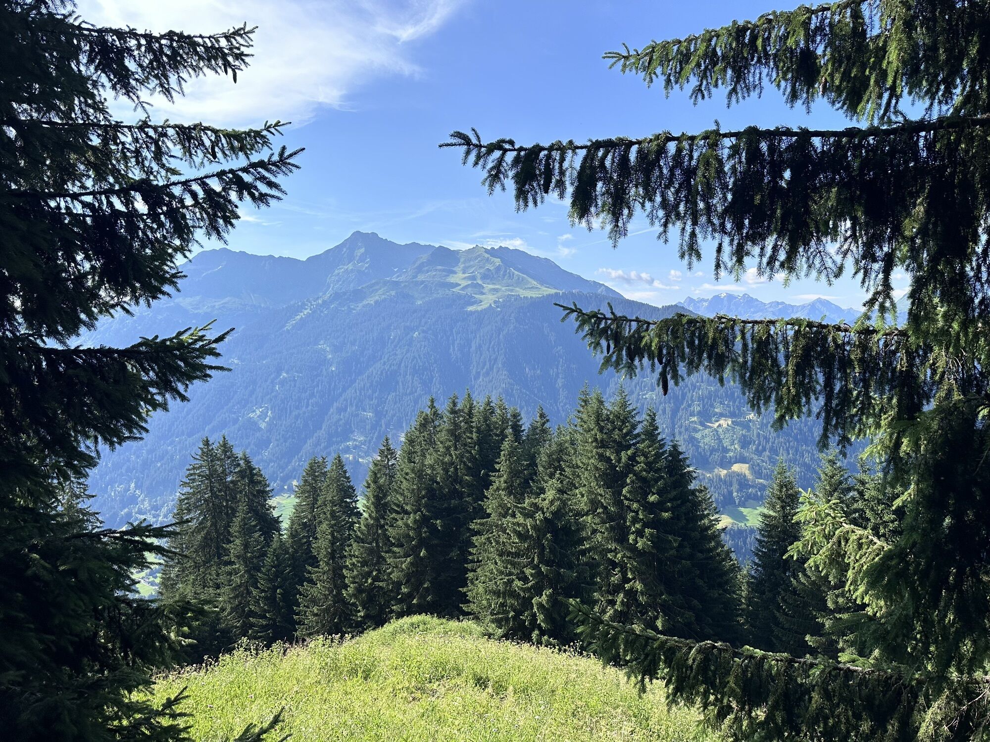


Extensive, challenging, scenic route along five mountain lakes.

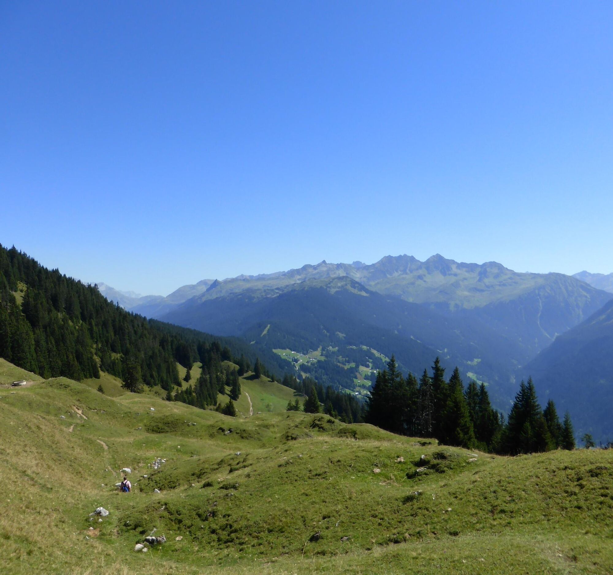
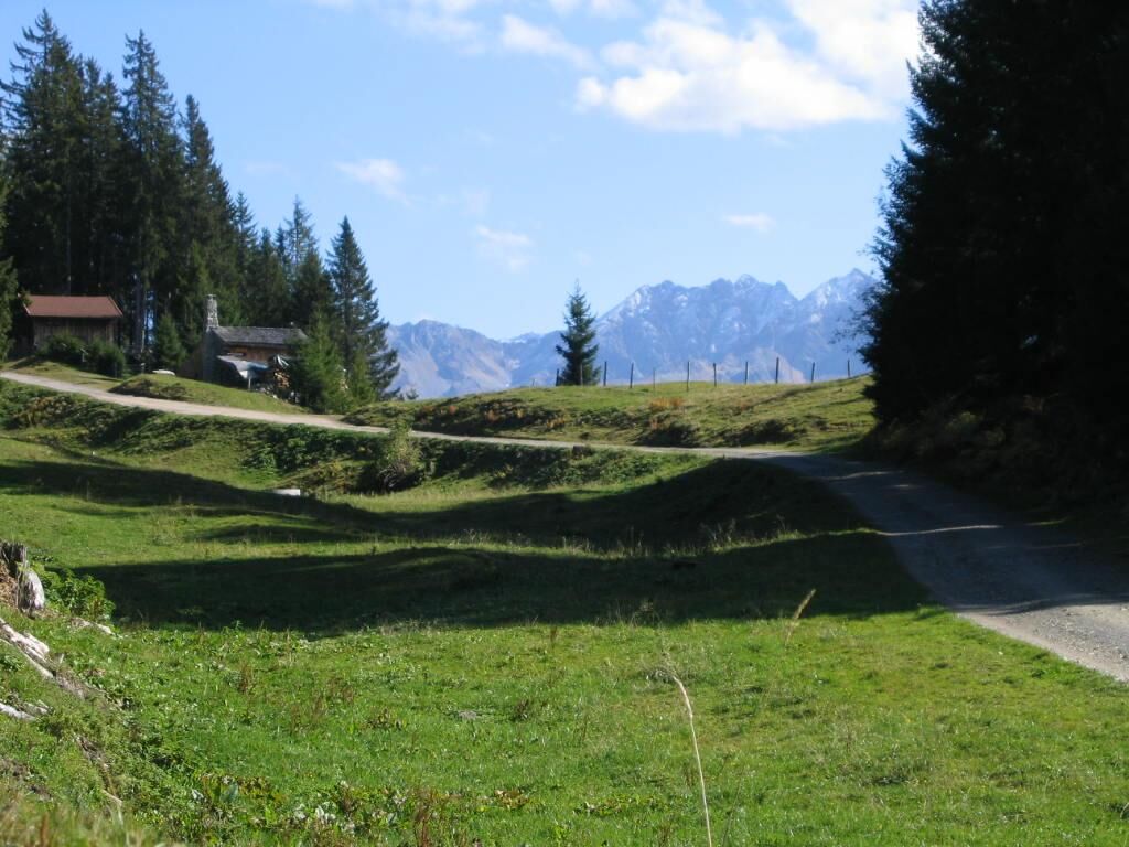
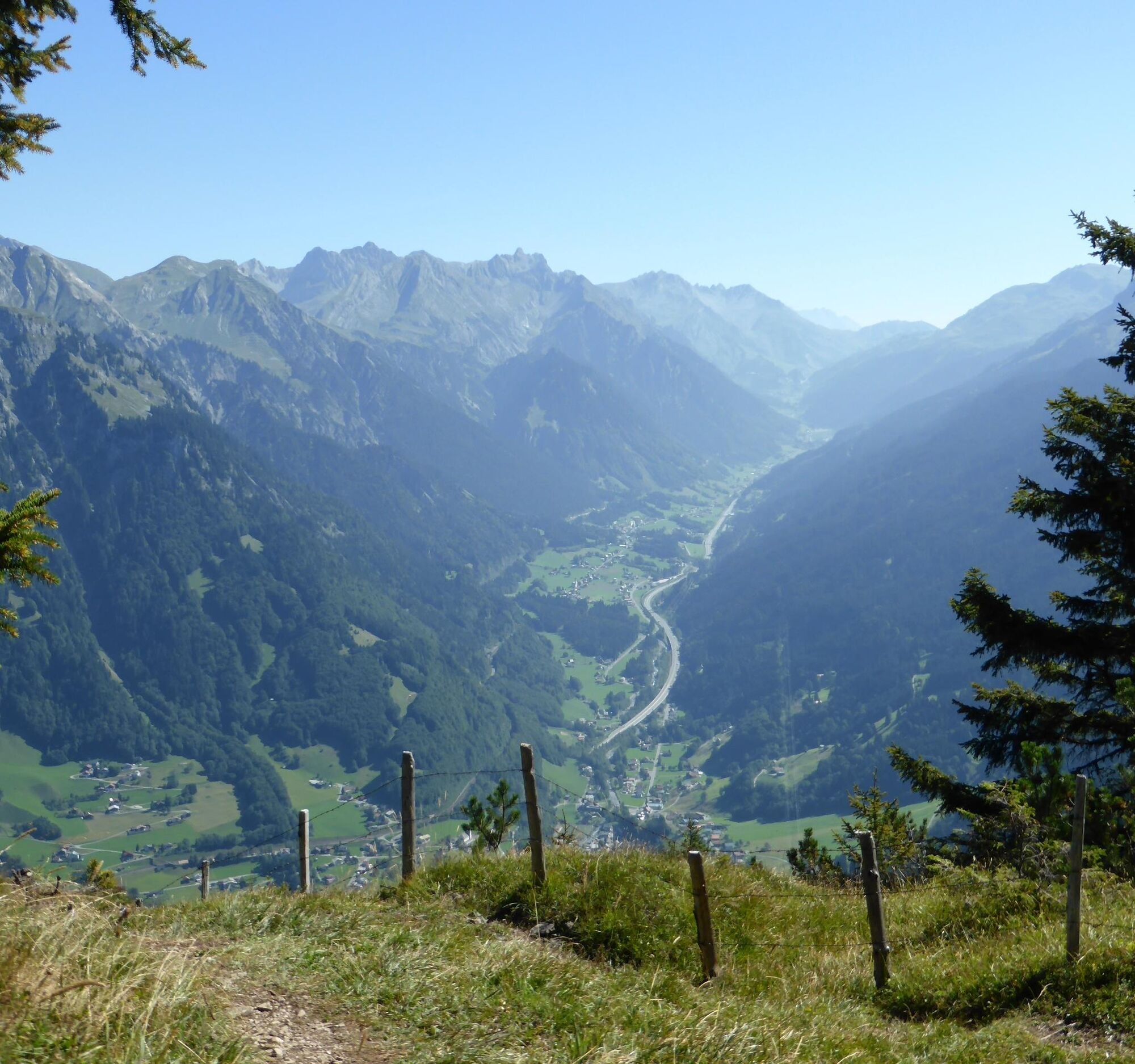
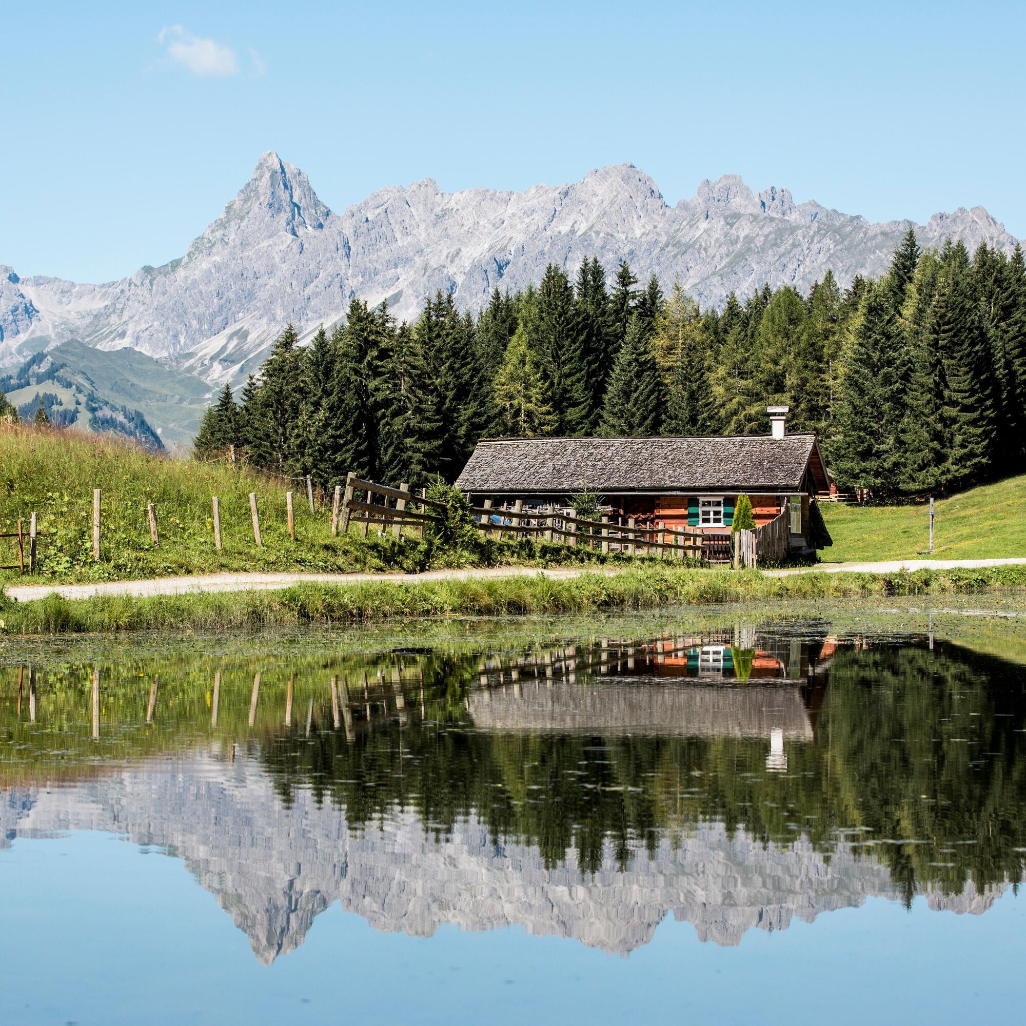
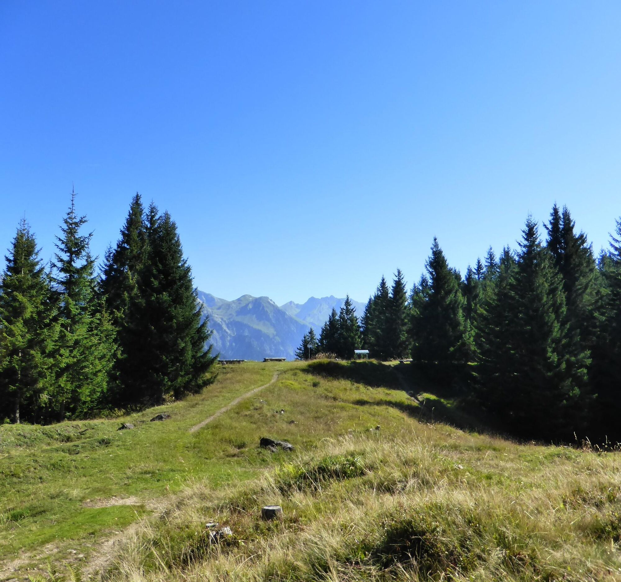
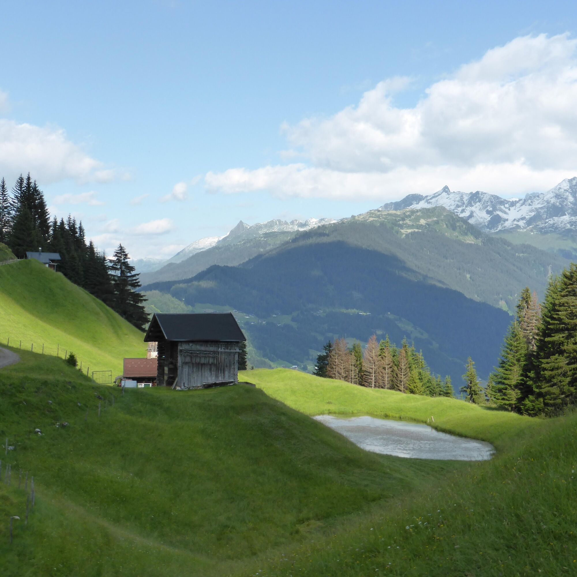
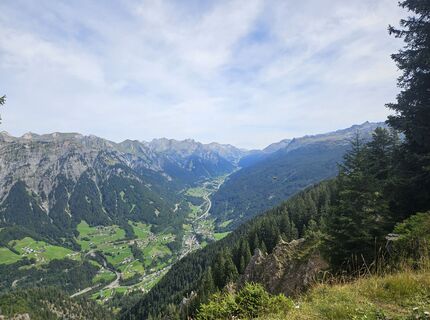
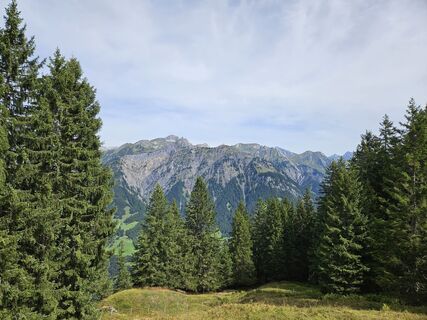
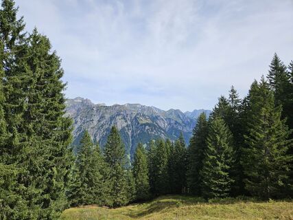
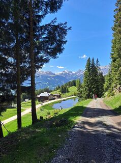
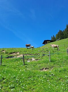
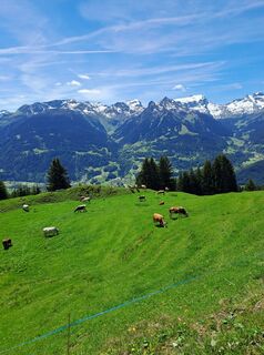
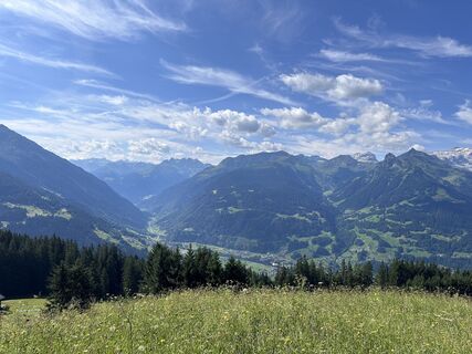
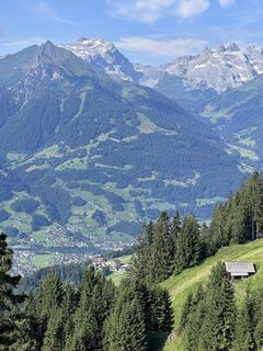
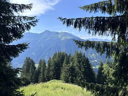
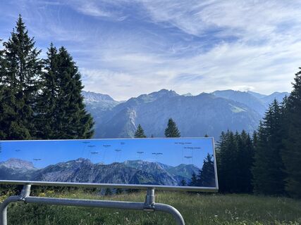
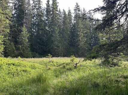
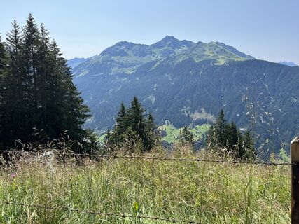
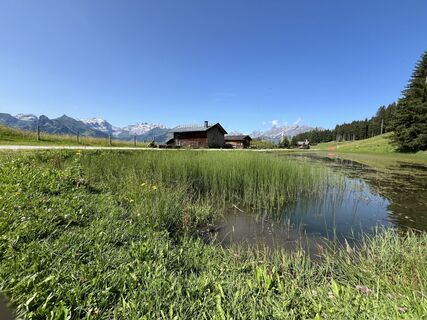
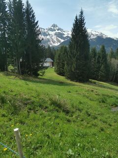
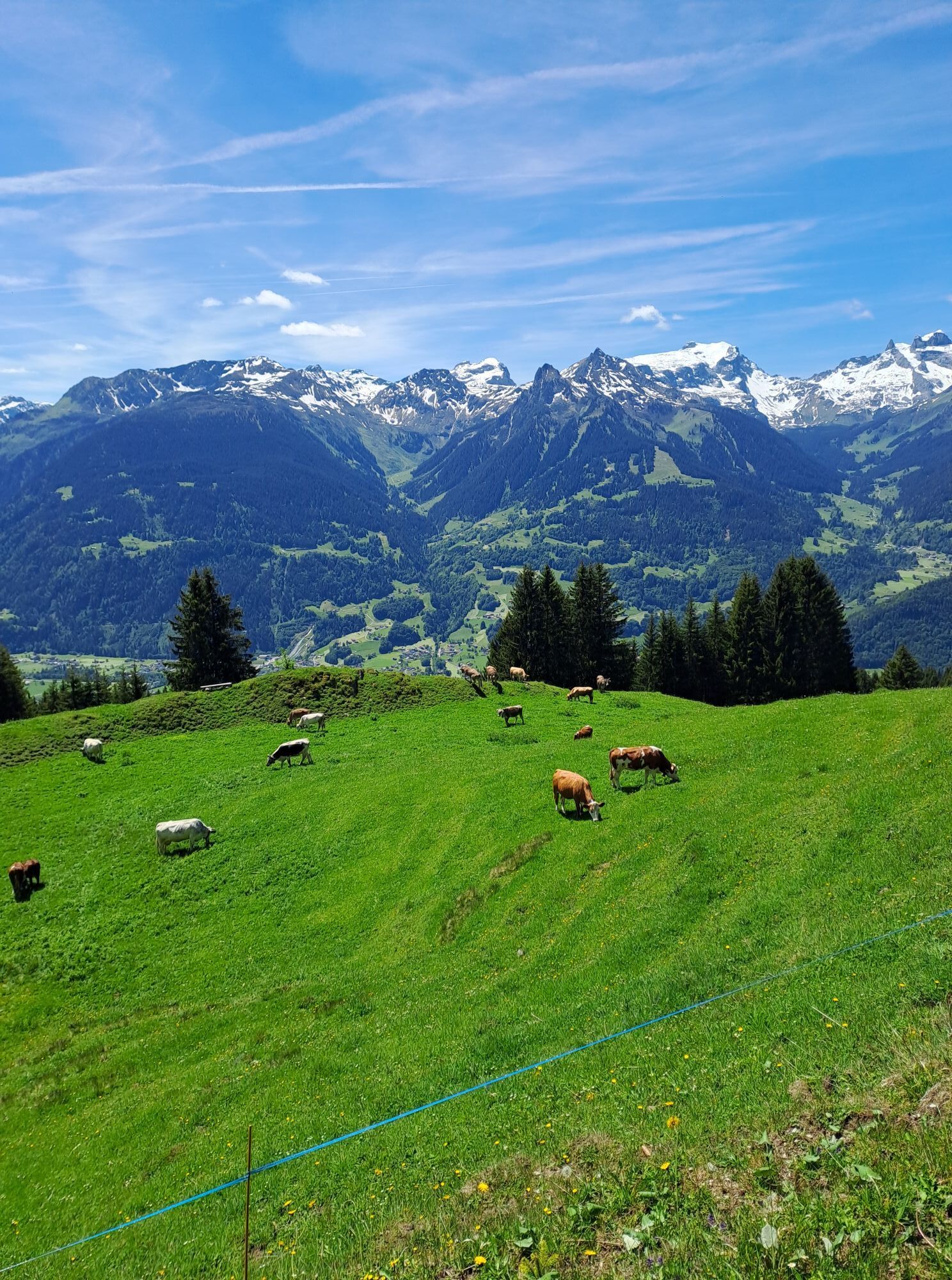
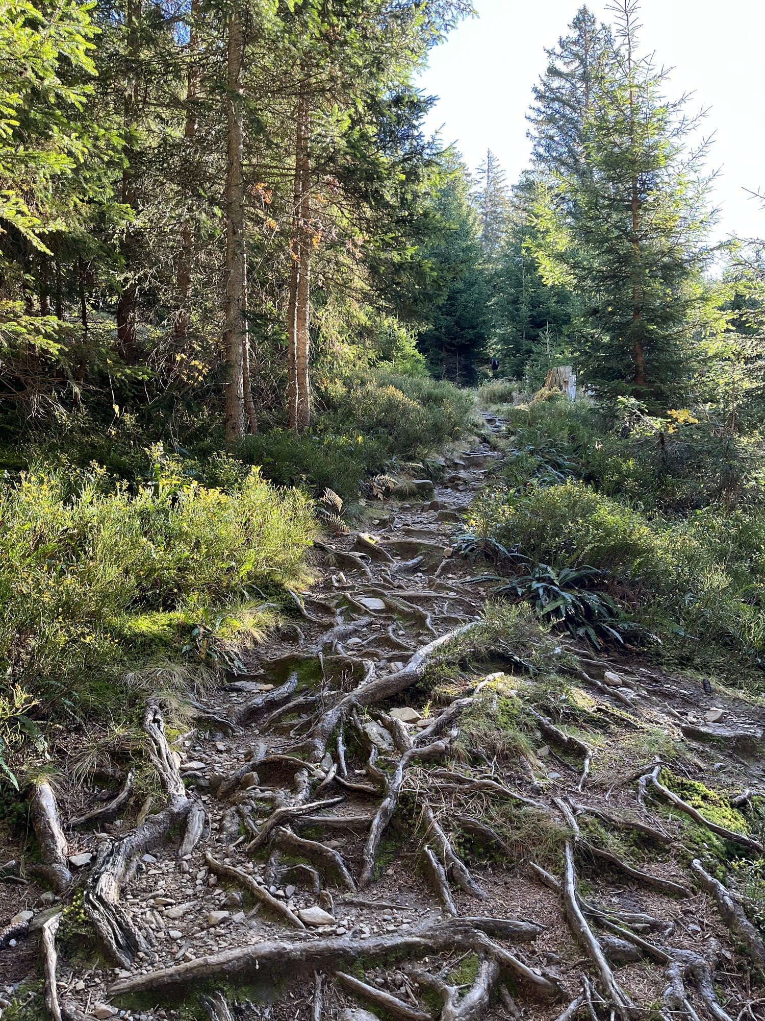
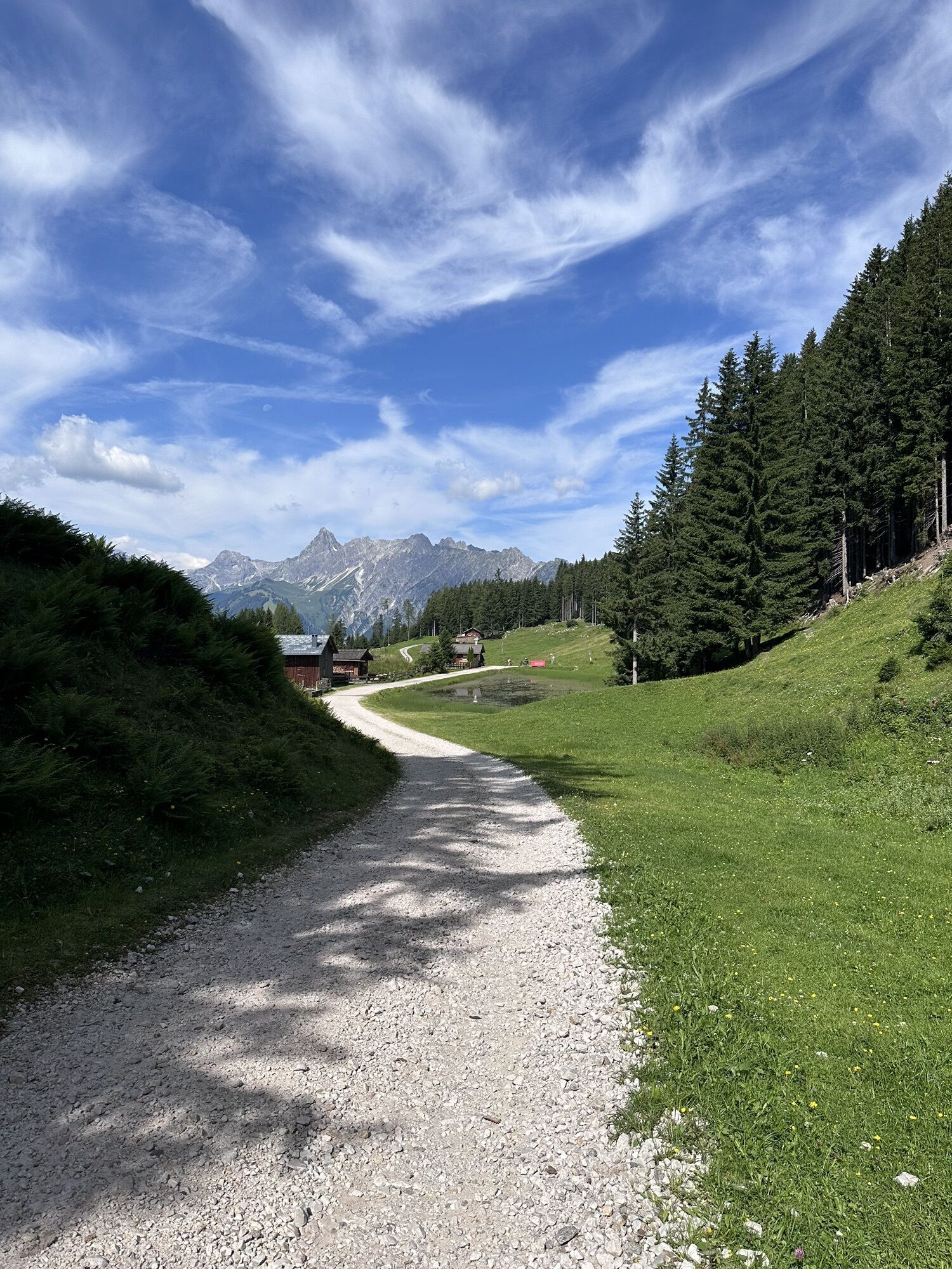
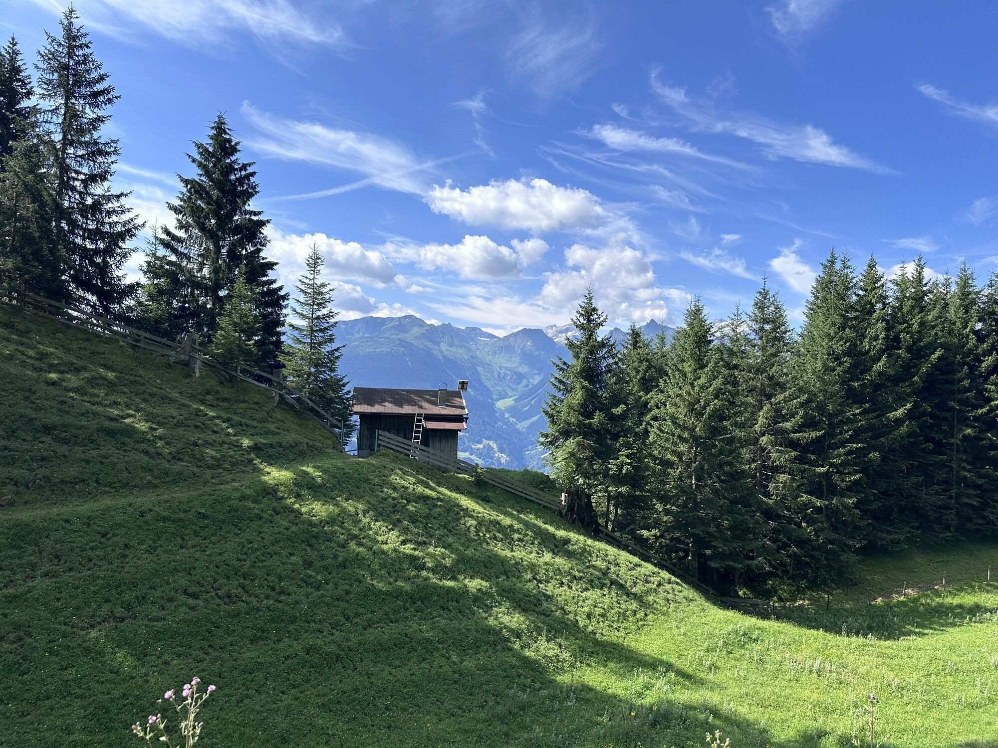
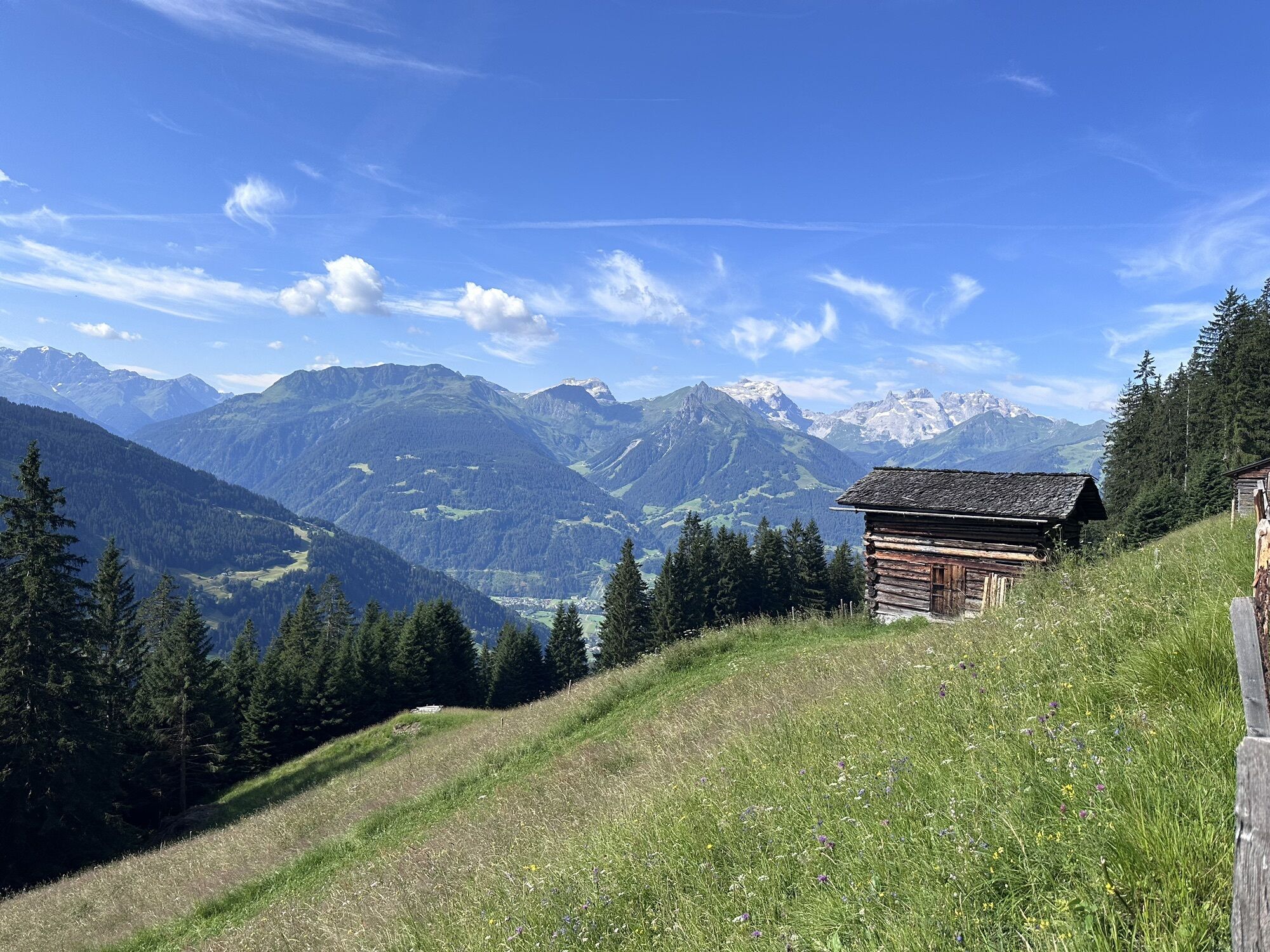
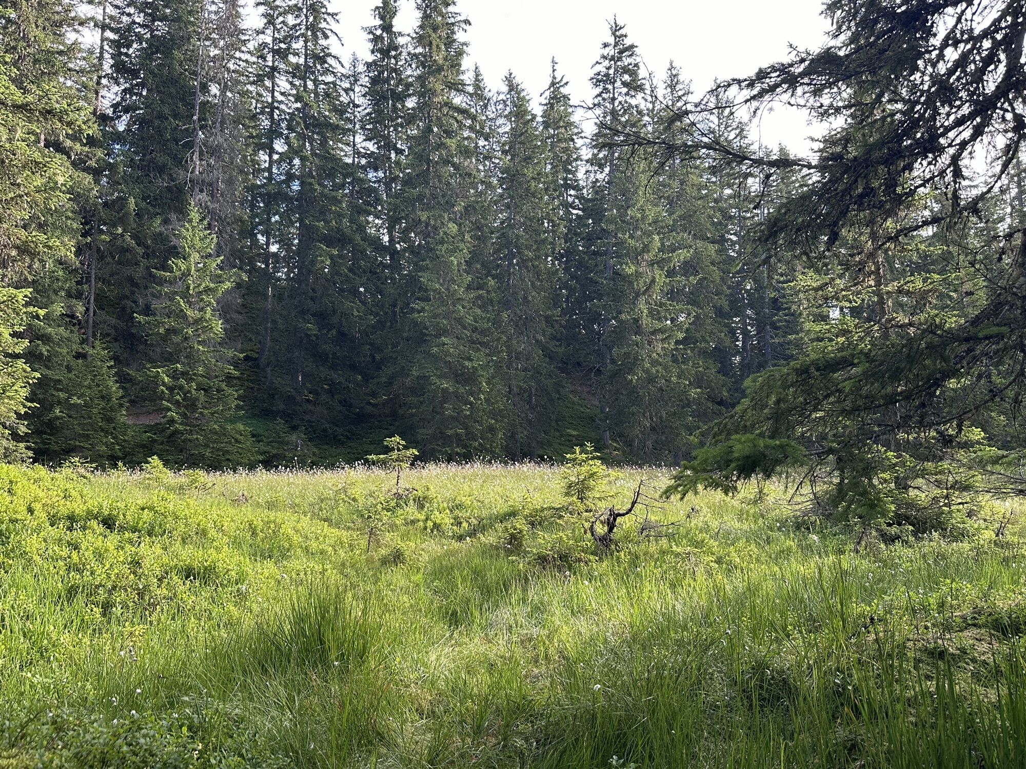
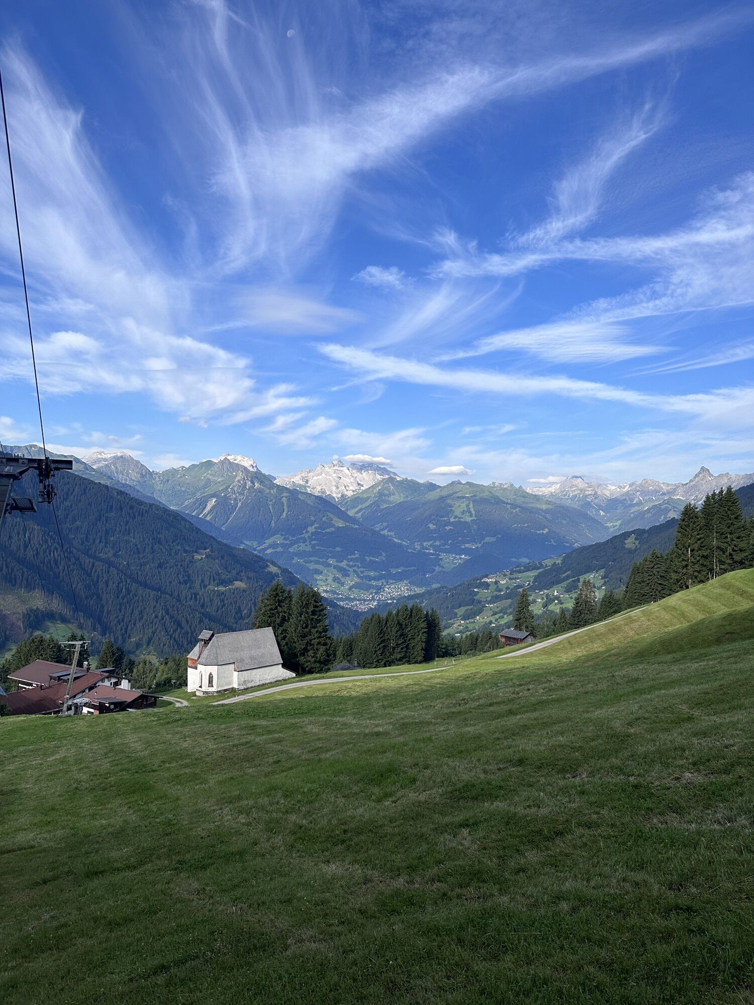
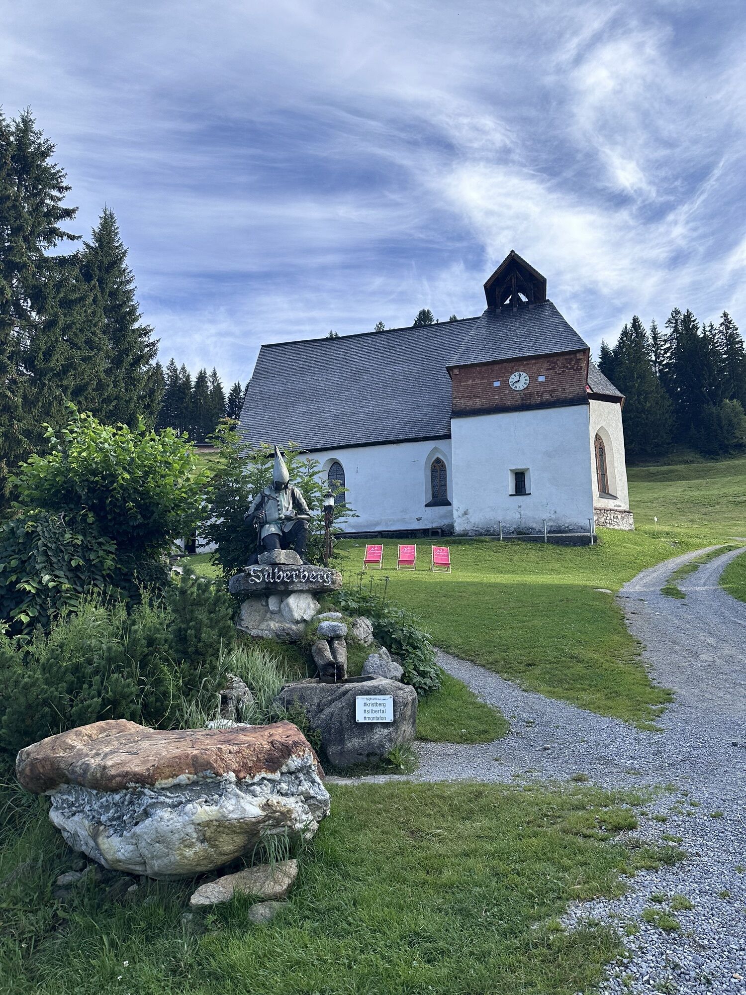
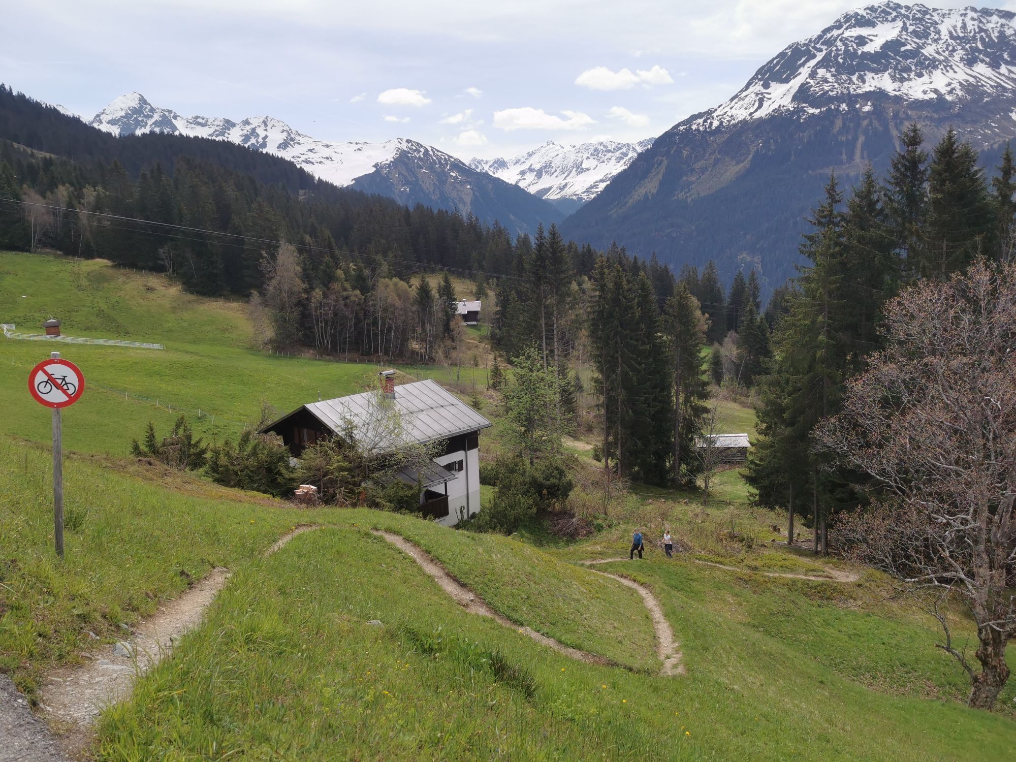
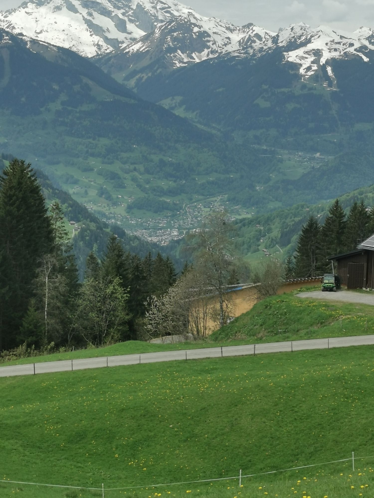
The circuit starts at the Kristbergbahn mountain station (signpost for running routes) and leads a short distance on the wide path valley-inward. To the left, via Bergknappenweg, the path goes through a forested section up to Kristbergsattel. From Kristbergsattel, hiking trails lead down into the neighboring Klostertal valley. Continue straight and you will pass the Silbertaler forest school. On the left side is the small Hugelsee with a wonderful panorama of the surrounding mountain landscape. After the forest school, the wide path ascends steeply in switchbacks and then you reach the Ganzaleita area with the first viewpoint. From the viewpoint you catch views into the neighboring Klostertal valley as far as Stuben. The Flexenpass road to Lech and the Rote Wand are visible. If you're lucky, you can even see trains winding along the Arlberg railway line in or out of the valley. The circuit continues over a meadow path. Along the ridge and in zig-zag you gain more elevation and then reach the Falla area and thus the second viewpoint. There you turn left and follow the path. It goes uphill and downhill. You then reach the Gäßtuala area and shortly afterwards pass the Korallenriff. Along the path, partly directly in the sun, you reach via Almeinweg the alpine hut located somewhat above Fritzensee. Immediately afterward you reach Fritzensee, an idyllic lake in wonderful scenery. You deserve a break and the meadows may also invite a short nap. The broad path then leads back. You first pass Fulasee and then shortly afterward Torasee. These lakes and Fritzensee are popular excursion destinations as well as well-known photo motifs and the panorama and landscape are worth a side visit at any time of the year. Slightly uphill it goes to Fulateia. Via Maschleu and the last lake of this route, Kapusee, you shortly afterwards reach the starting point.
Ja
EMERGENCY NUMBER: 144
European emergency number: 112 works with any mobile phone/network)
Coming from Bludenz, take the Bludenz/Montafon motorway exit and follow the L188 into Montafon to Schruns. Then continue along Silbertalerstraße to Silbertal. http://www.google.at/maps
Just leave your car parked
The Montafonerbahn regional buses operate throughout Montafon. The main lines run hourly from Schruns train station.
From Schruns train station you can take bus line 88 to Silbertal. The stop is: "Kristbergbahn"
For the return journey
With bus line 88 you can return from Silbertal to Schruns train station.
Arrival by train
From Bludenz train station, the Montafonerbahn runs hourly (sometimes half-hourly). There are also direct connections from Lindau (D) and Bregenz.
Parking is available at Kristbergbahn. (free in winter)
Webbkameror för rundturen
Populära turer i närområdet
-
4,9
Bürs, Bürserschlucht Bürs, Vorarlberg
MediumVandring 5,31 km -
4,5
Muttersberg - Fraßenhütte - Fraßen - Tiefenseesattel Nüziders, Österreich
MediumVandring 10,1 km -
4,4
Golm-Rundwanderweg im Rätikon
MediumTema spår 7,28 km -
4,8
Kristberg - Wasserstubental - Silbertal
ljusVandring 13,8 km -
5,0
Ski tour to the Lindauer Hut (1,744 m)
ljusSkitour 14,0 km -
4,3
Golmer, Höhenweg und Golmer Seenrundweg
MediumVandring i berg 7,62 km -
4,8
From Latschau through the Gauertal to the Lindauer Hütte
MediumSnösko 14,0 km -
3,5
Golmer Höhenweg
MediumVandring 13,8 km -
4,7
Alpgues circular route
MediumTema spår 9,36 km -
4,5
Zamangspitze summit path
MediumTema spår 7,07 km
Vandring och spårning


Missa inte erbjudanden och inspiration inför nästa semester
Din e-postadress har lagts till på e-postlistan.