


Moosalp Plateau Bike
Svårighetsgrad: S1


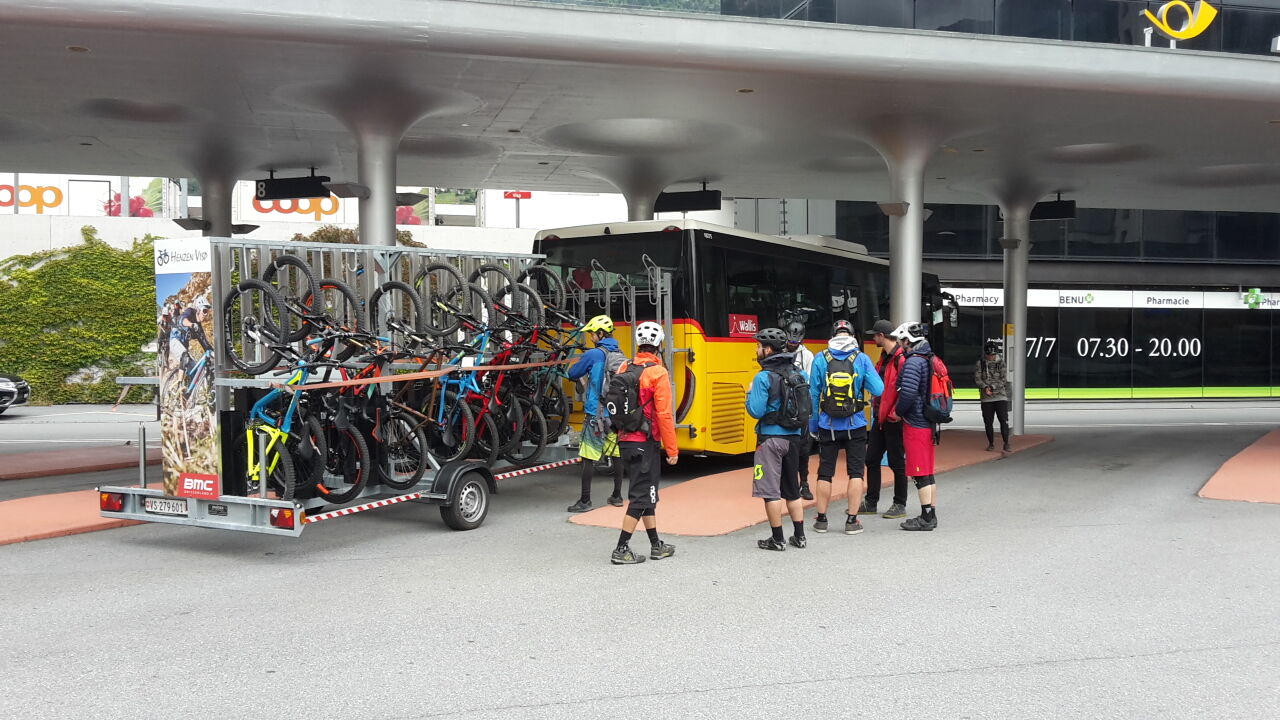
Take the post bus from Visp to Bürchen. From here the route passes Wallis barns, through the old village center of Eischoll to the mountain station «Striggen» with a wonderful view to the lower Eischollalp....
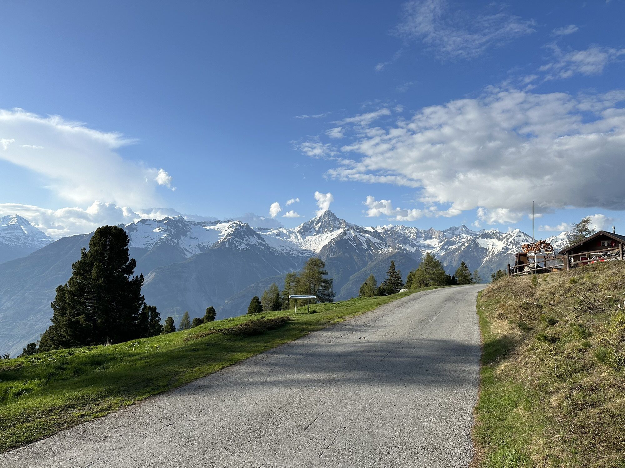
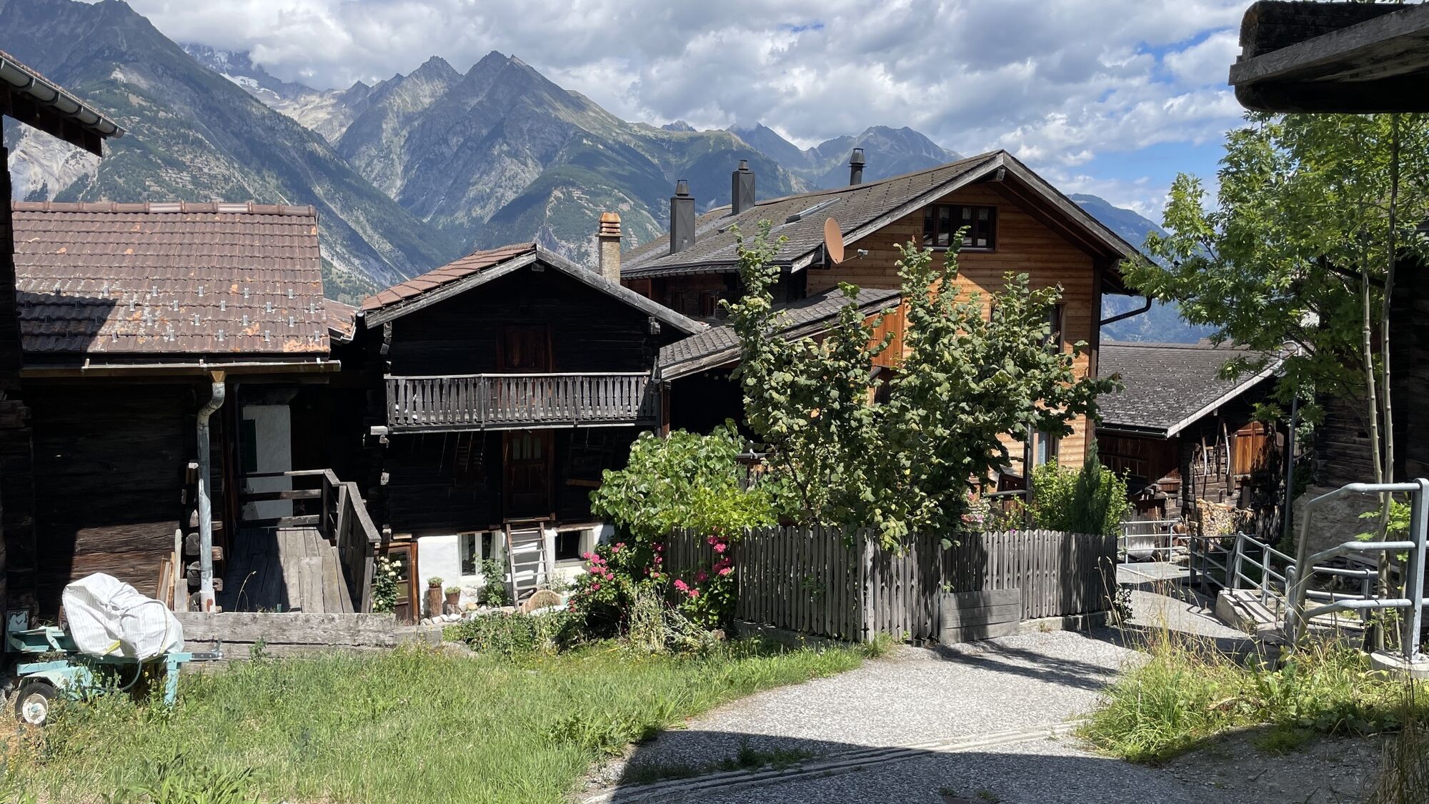
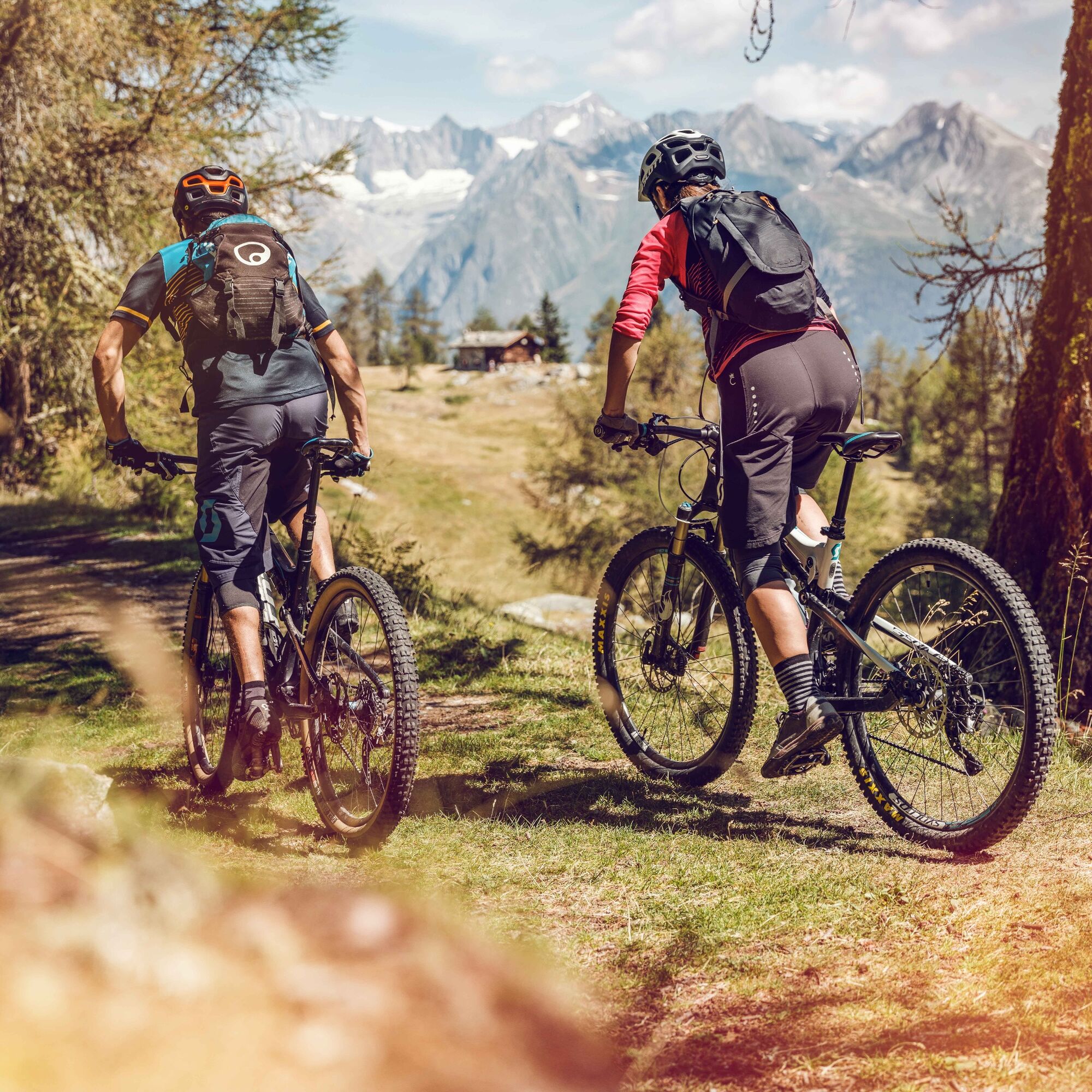
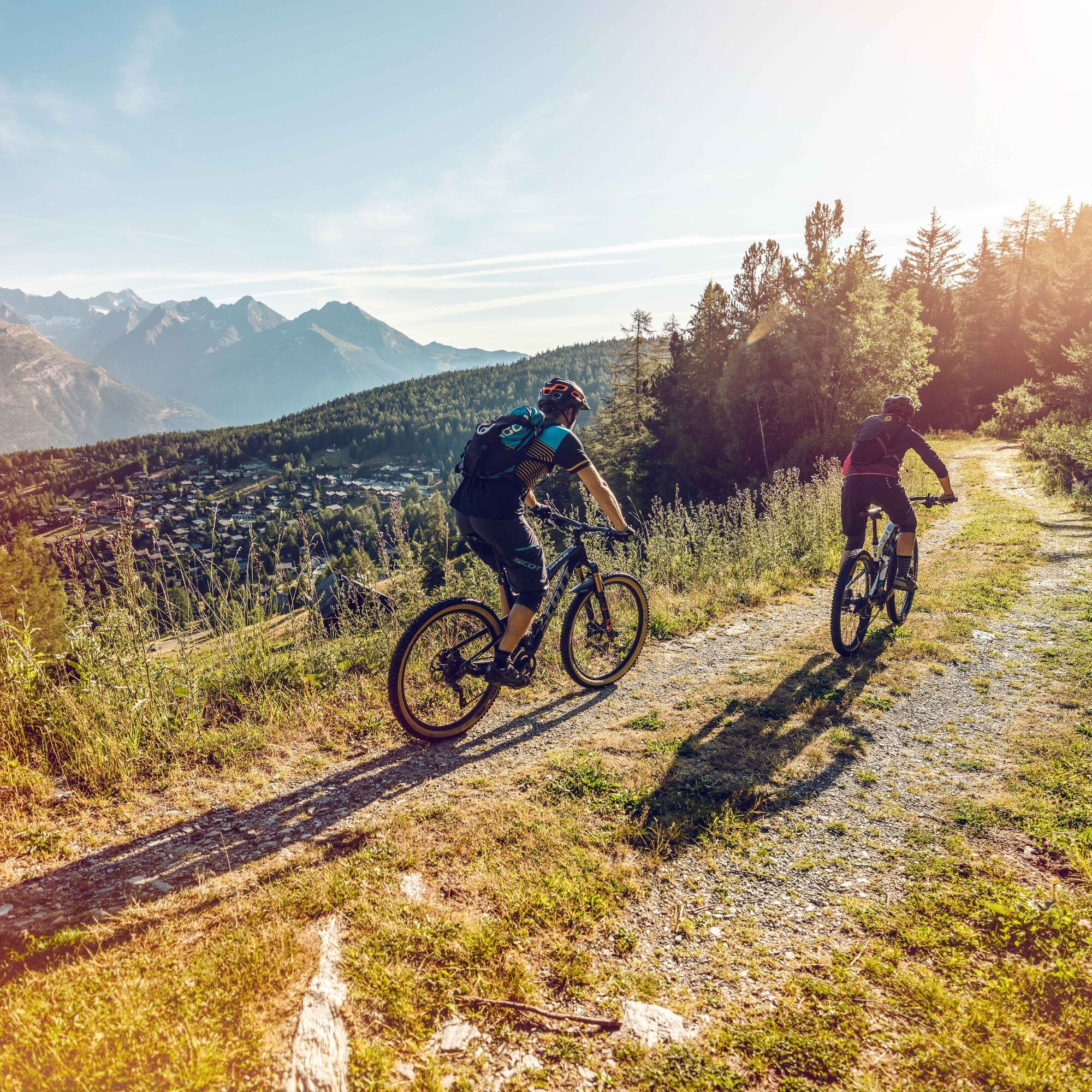
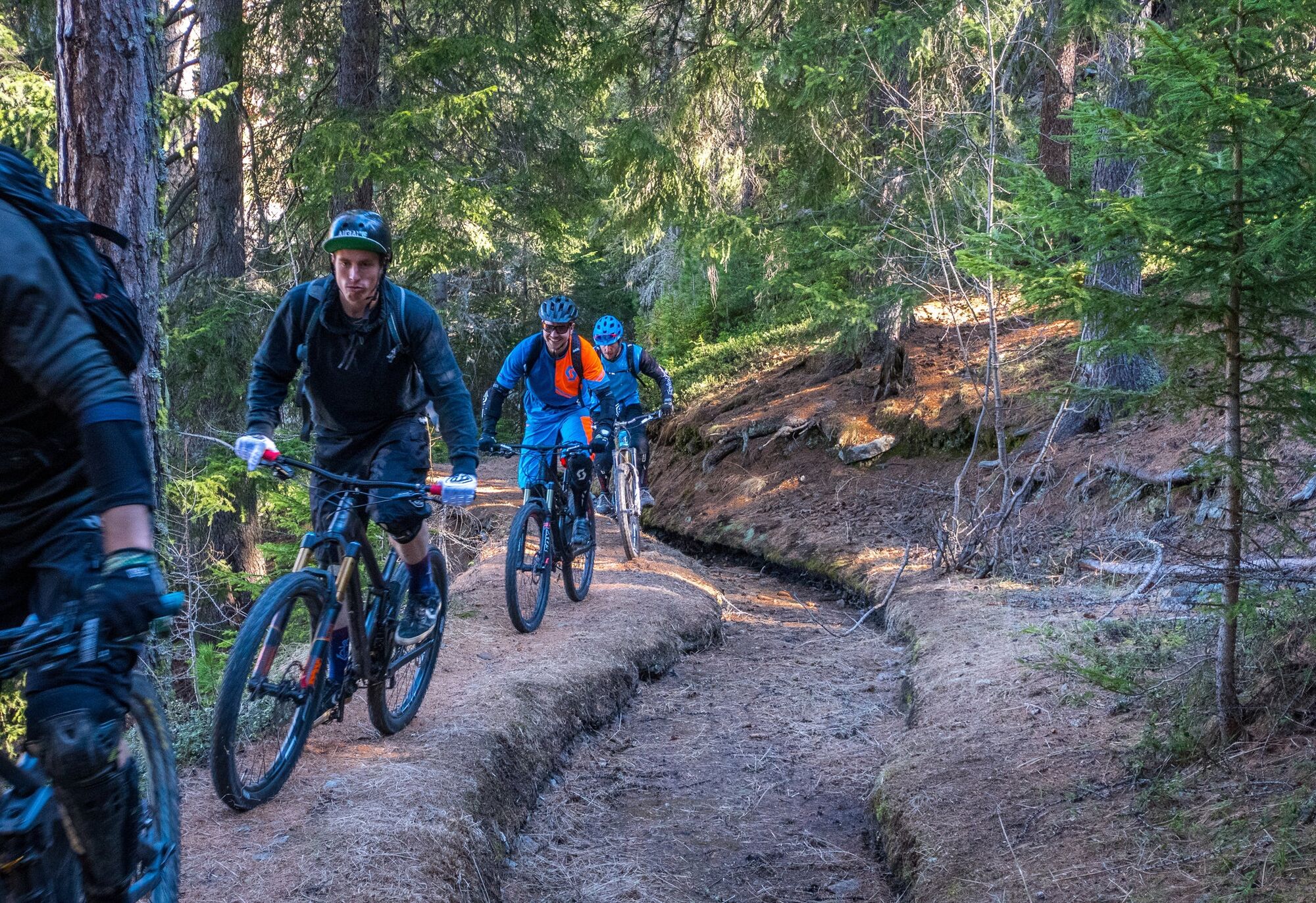
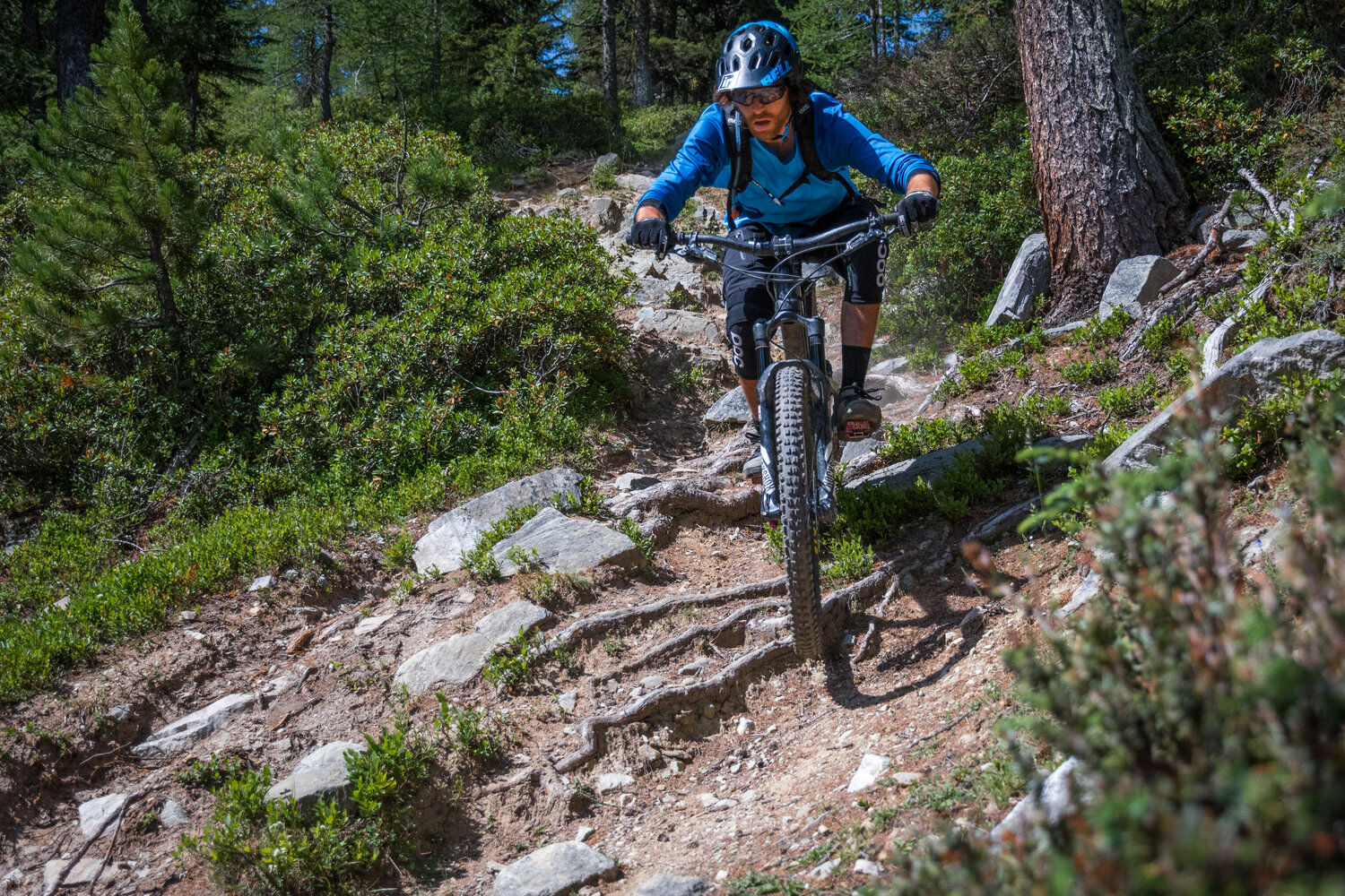
Take the post bus from Visp to Bürchen. From here the route passes Wallis barns, through the old village center of Eischoll to the mountain station «Striggen» with a wonderful view to the lower Eischollalp. This is followed by a descent and a climb to the lower Sänntum and a beautiful trail to «Gibidum». Now begins the descent known as the «Magic Trail» – a natural but steep flow trail of top quality. An old path leads down to Brandalp and further to sunny Bürchen. Athletes ride the roughly 500 meters of elevation gain to Moosalp, or the post bus takes you up. The singletrail now flows clearly and smoothly through a larch forest to Törbel. It then curves down to the hamlet Burgen and on a trail with two uphills to Zeneggen. Attention, this section has a very exposed spot. Afterwards the route climbs steeply via a nature reserve back to Bürchen. Those who want can complete the round trip back to the starting point.

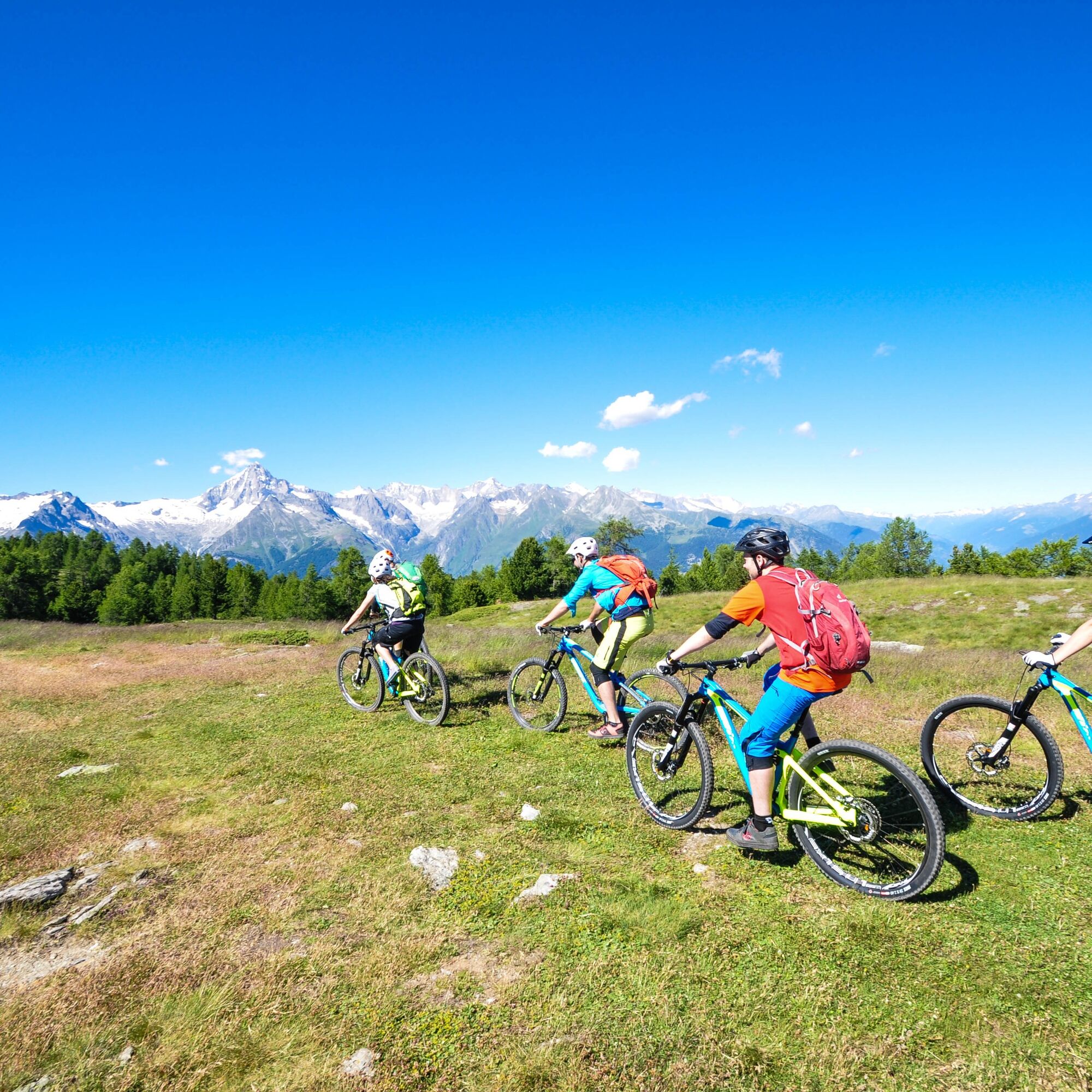
The route is signposted in only one direction: Bürchen -> Unterbäch -> Eischoll -> Ginals -> Brandalp -> Bürchen -> Moosalp -> Törbel -> Zeneggen -> Bürchen
Ja
Ja
Ja
Our recommendation: Technically sound bike, helmet, gloves, and bell, appropriate clothing depending on the weather (always carry rain protection), drink, and food
The mountains are a place of joy to share and respect. The mountain world is a place to meet and experience unforgettable moments together – whether by bike or on foot. To ensure that all users can benefit, it is essential to share this space with respect for nature and agriculture. Respectful behavior enables everyone to enjoy their leisure activities under the best conditions. Inform yourself about recommendations and rules. Assess your own abilities and fitness well. Riding the various routes is always at your own risk.
Ideally to Visp and then continue by post bus to Bürchen.
You can reach the region in an environmentally friendly and convenient way using public transport. There are regular train connections to Visp from all over Switzerland, then by post bus to Bürchen. Remember to reserve a spot for your mountain bike via the SBB Mobile app or on sbb.ch.
Parking is available at Visp station, with direct connection by post bus to Bürchen.
S1
In Törbel, a visit to the open-air museum «Urchigs Terbil» is worthwhile to gain insight into the former daily life in a Valais mountain village.
Webbkameror för rundturen
-
Seetal - Grächen
-
Brandalp - Skilift Seefeld
-
Moosalp - Restaurant Moosalp - Törbel
-
Bergstation Sesselbahn Giw - Visperterminen
-
Hannigalp
-
Grächen - Dorf
-
Eischoll - Stryggen
-
Moosalp - Bergrestaurant Dorbia
-
Air Zermatt - Station Raron
-
Air Zermatt - Station Raron
-
Brandalp - Skilift Seefeld
-
Brandalp - Skilift Seefeld
-
Brandalp - Skilift Seefeld
-
Brandalp - Skilift Seefeld
-
Rothorli
-
Rothorli
-
Grächen
-
Air Zermatt - Station Raron
-
Gspon
-
Heidabahn Talstation
-
Giw Bergstation
-
Eischoll Dorf
-
Furggen Berg
-
LGJ Bergstation
-
Brandalp - Skilift Seefeld
-
Brandalp - Skilift Seefeld
-
Brandalp - Skilift Seefeld
-
Brandalp - Skilift Seefeld
-
Törbel - Chalet Dolores
-
Yakfarm - Embd
Populära turer i närområdet
-
3,8
Höhenweg Saas-Fee - Grächen
Vandring 12,0 km -
5,0
Bella-Tola
MediumHög tur 6,72 km -
Panoramaweg Visperterminen
ljusVandring 9,72 km -
4,0
NATICHERBERG CIRCULAR TRAIL
MediumVandring 12,1 km -
5,0
Moosalp Panoramaweg
ljusVandring 6,36 km -
5,0
Jolischlucht
MediumVandring 8,06 km -
Gibidumpass
ljusVandring 11,6 km -
Hannigalp-Seetal-Hannigalp
MediumVandring 10,4 km -
Finnen-Honegga-Brischeru-Salwald-Finnen
ljusVandring 10,8 km -
BLS SÜDRAMPE LALDEN - NATERS
MediumVandring 10,1 km
Vandring och spårning


Missa inte erbjudanden och inspiration inför nästa semester
Din e-postadress har lagts till på e-postlistan.