


Gommer Höhenweg: Oberwald - Bellwald
Svårighetsgrad: T2


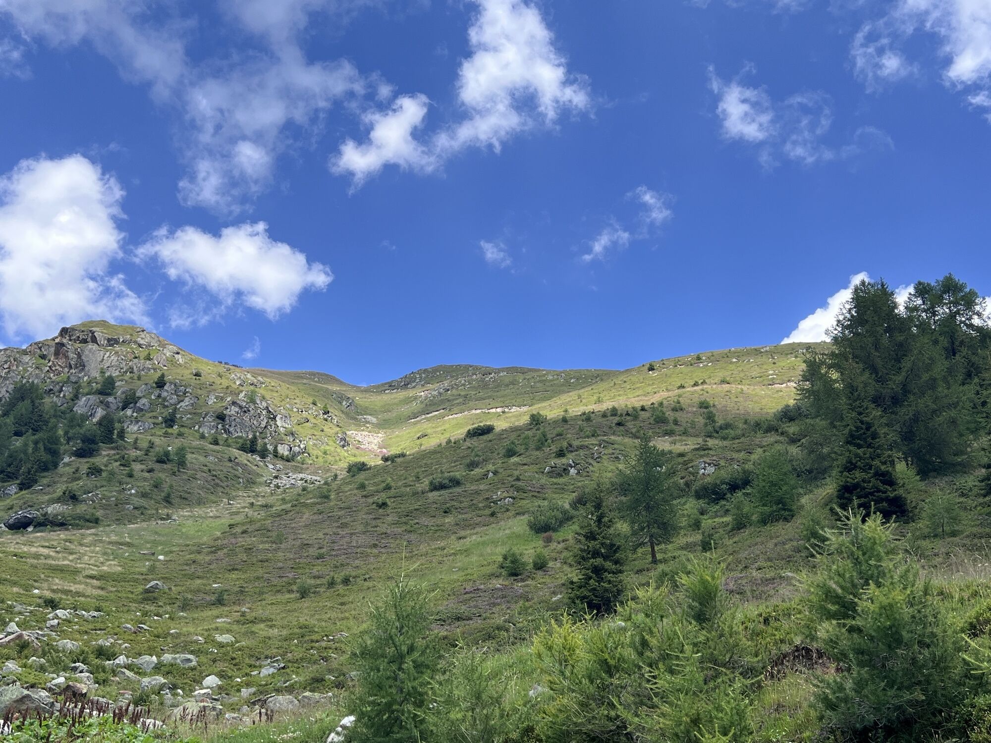
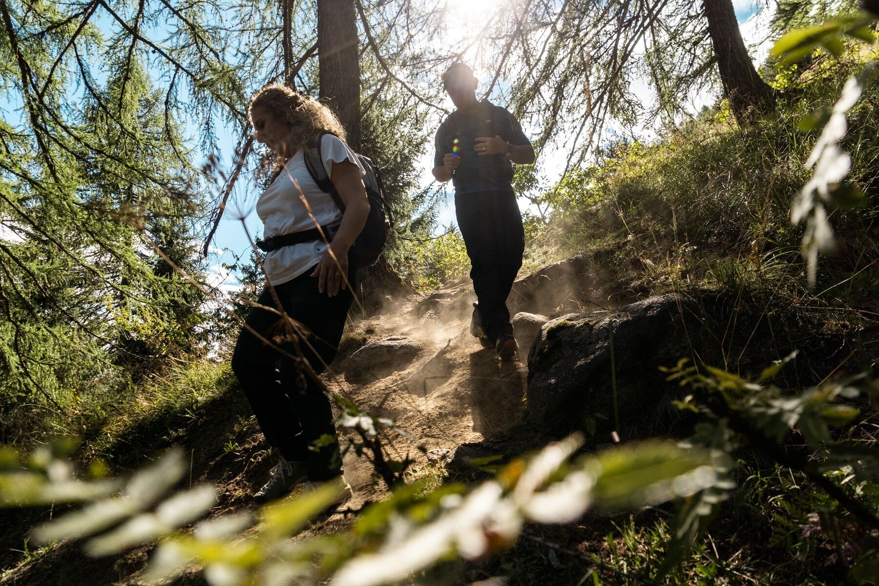
High above the valley, the 27-kilometre Goms High Trail leads through the fascinating and authentic natural and cultural landscape of Goms. The trail leads along beautiful paths through marvellous, fragrant...
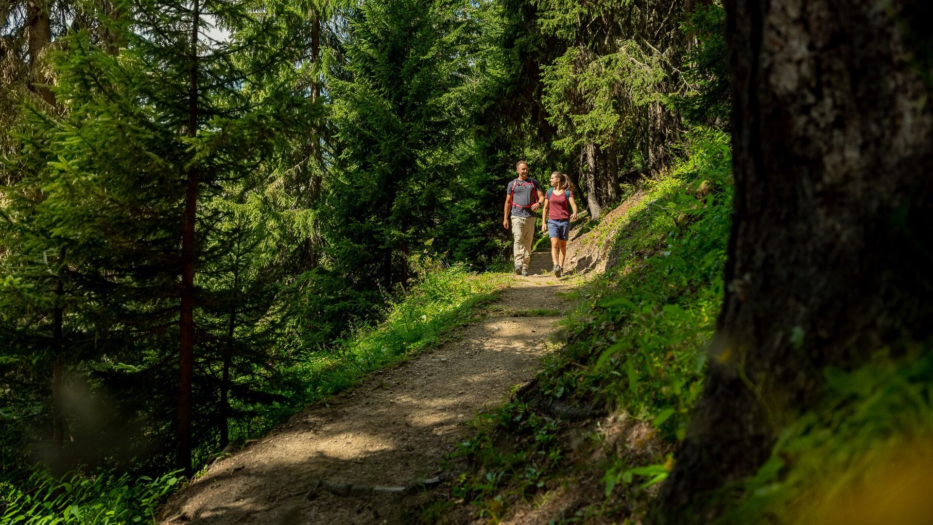
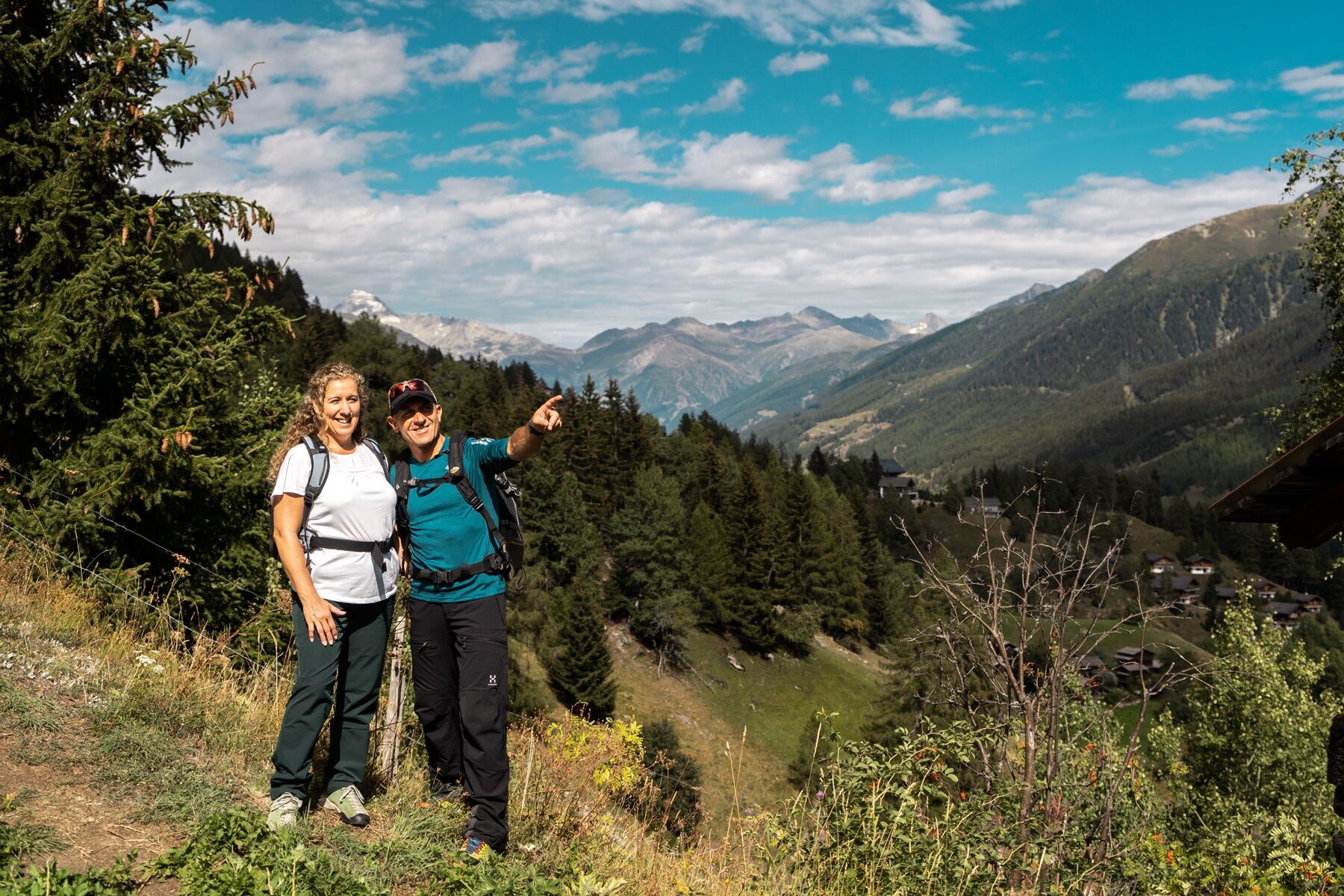
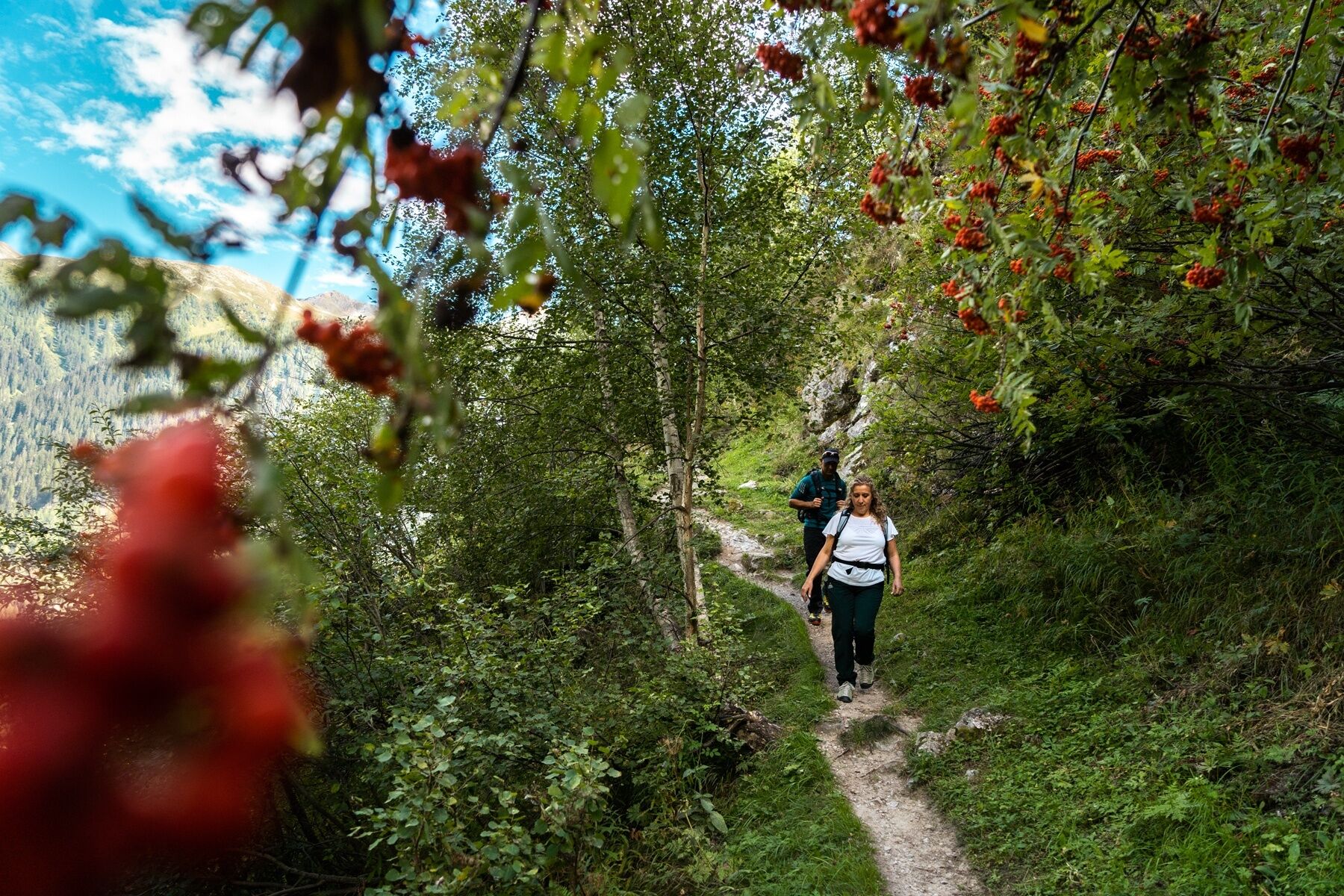
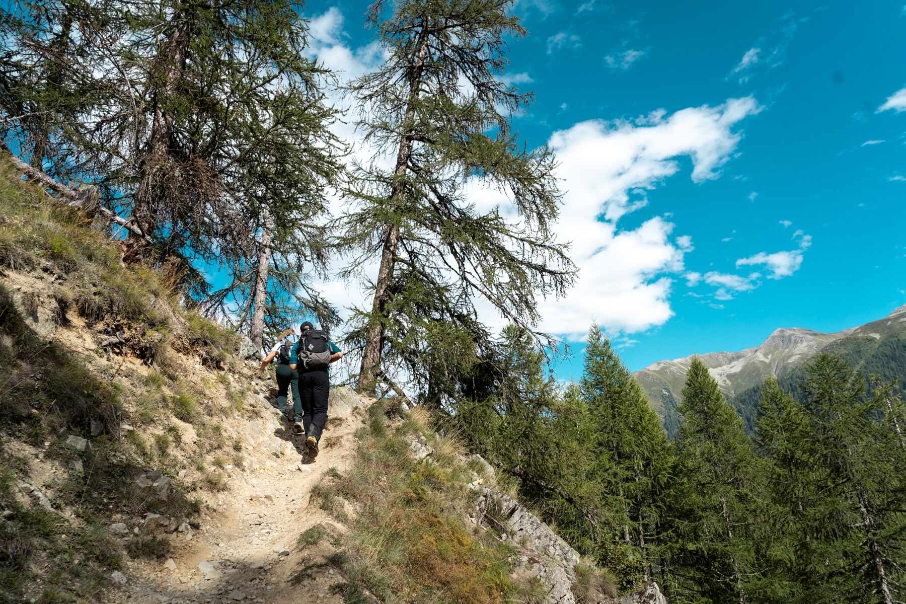
High above the valley, the 27-kilometre Goms High Trail leads through the fascinating and authentic natural and cultural landscape of Goms. The trail leads along beautiful paths through marvellous, fragrant larch forests and across wide alpine meadows.
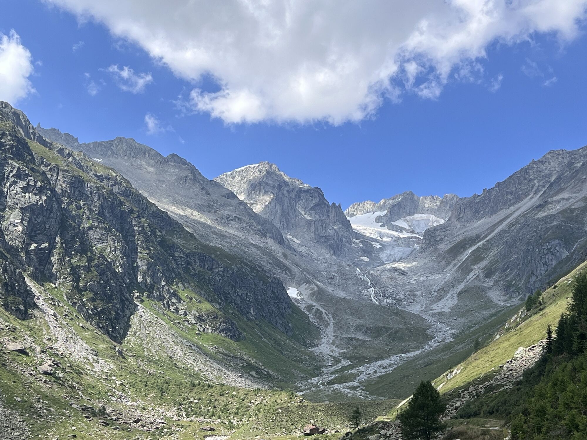
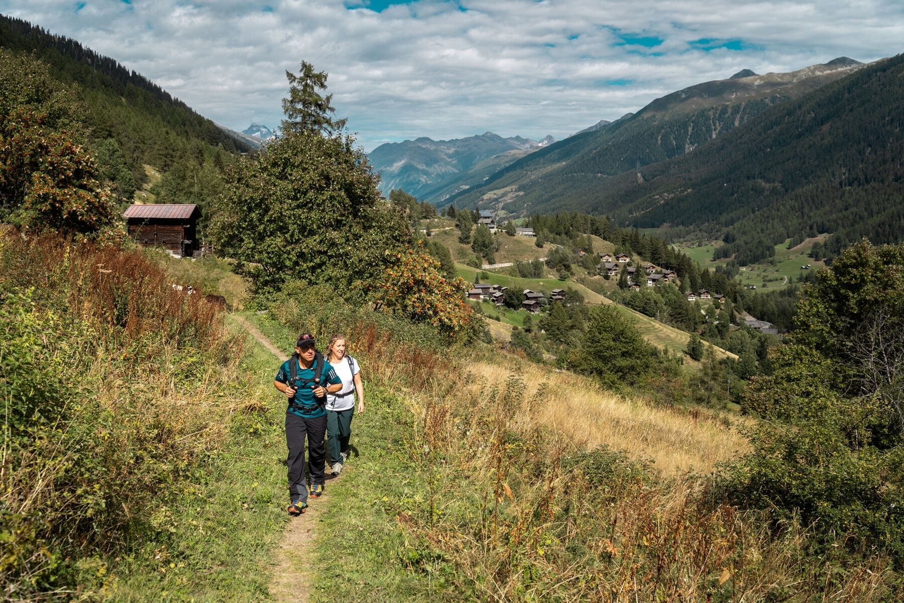
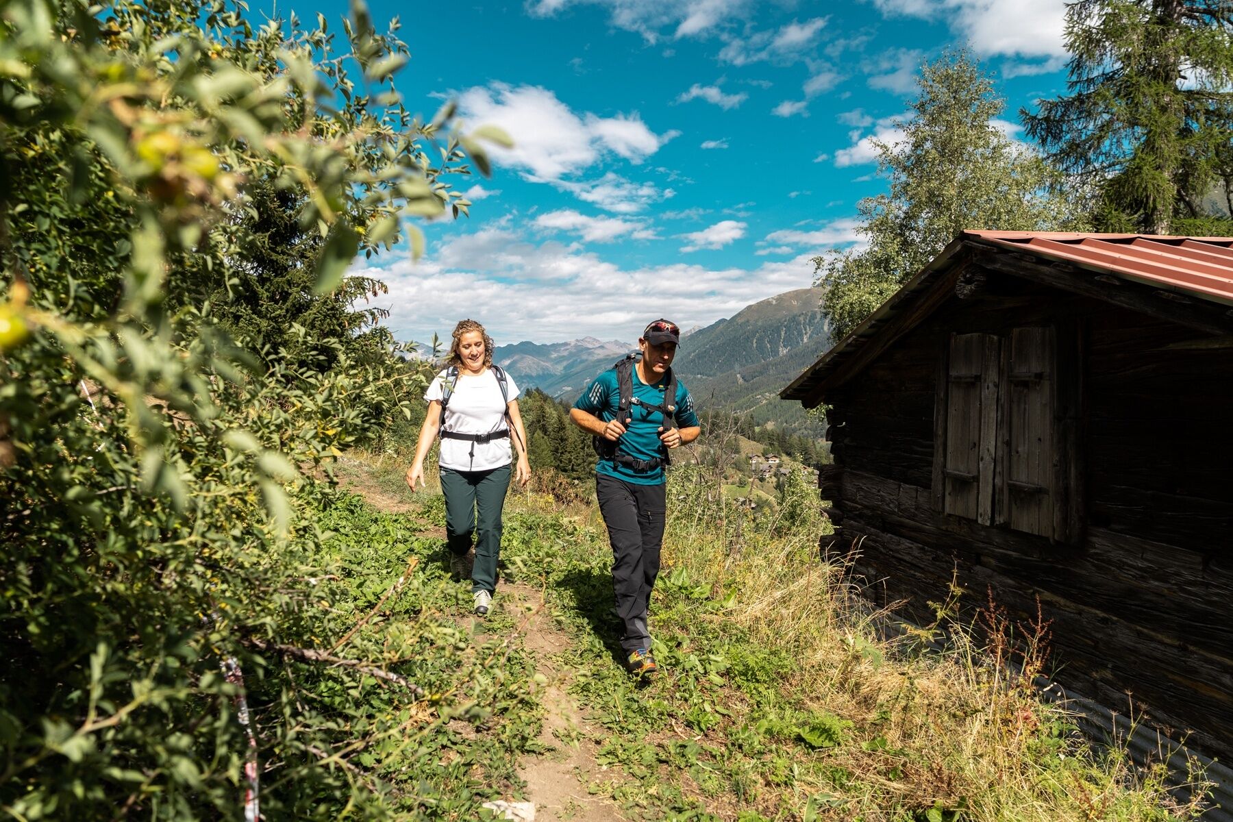
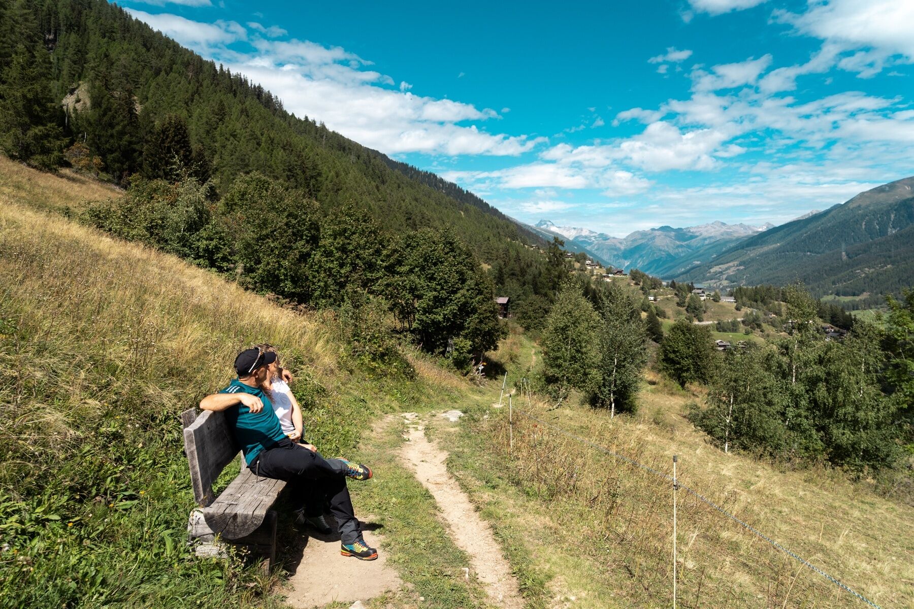
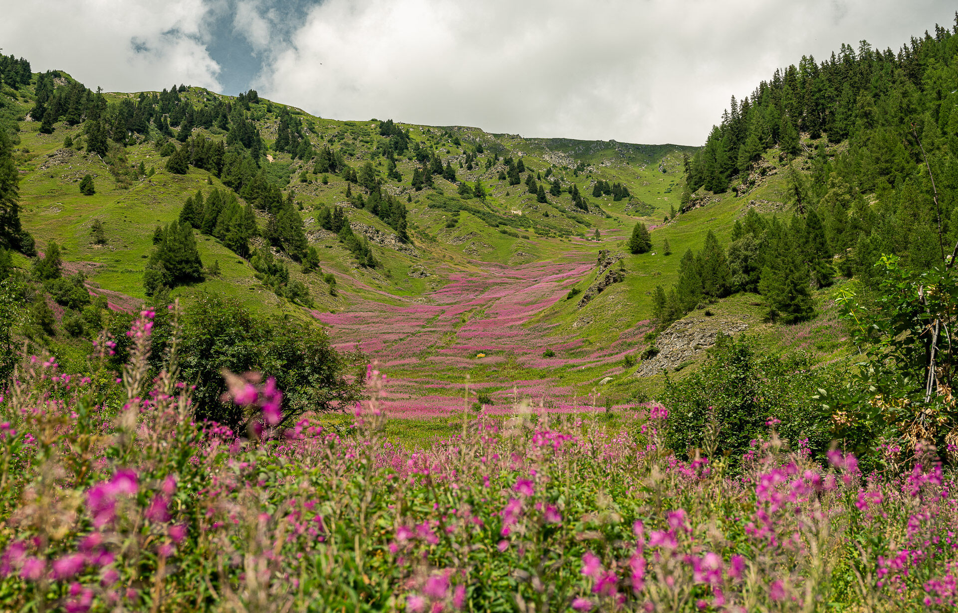
The enjoyable section from Münster to Bellwald is an easy one-day tour of the Goms High Trail. Flowers that you would otherwise only see in botany books line the varied route through the young Rhone valley. Down in the valley are the villages and dreamy hamlets with their typical sun-browned wooden houses. In the distance, several four-thousand metre peaks, including the striking pyramid of the Weisshorn (4505m), line the horizon.
The hike can also be undertaken in the opposite direction.
On the hike you pass the Guferschmatte and the Walibachhütte. Wonderful places to stop for refreshments.

Oberwald, train station - Bawald - Jostbach - Gflieli - Milibach - Birchi - Gadestatt - Tällibach - Nessel - Niderbach - Bine - Geschinerbach - Löuwene - Münstigerbach - Gifi - Wiler - Brand - Guferschmatte - Bächitalbach - Bine - Bawald - Resti - Walibach - Walibachhütte - Igschenen - Hilperschbach - Wanna - Wilerbach - Wilerlärch - Riti - Willere - Schlettere - Bellwald, cable care station
Ja
Ja
We recommend:
Good footwear and walking sticks Sun and rain protection and warm clothing Detailed map or information material with good tour preparation Provisions for your day in the great outdoors Pocket pharmacy and mobile phone for emergencies
The use of the hiking trails is at your own risk. Obergoms Tourismus AG disclaims all liability and assumes no responsibility for the accuracy and completeness of the information on this website.
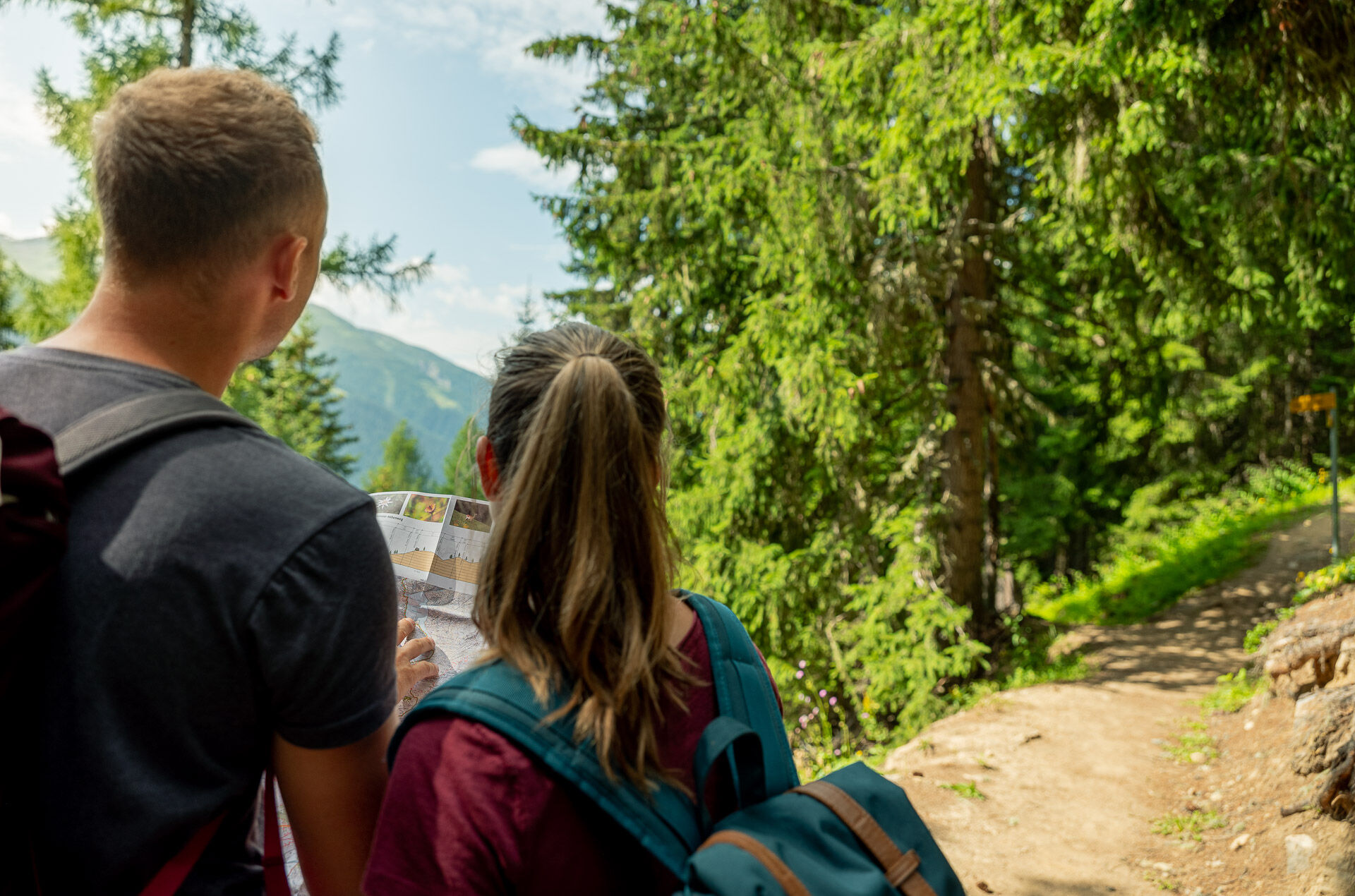
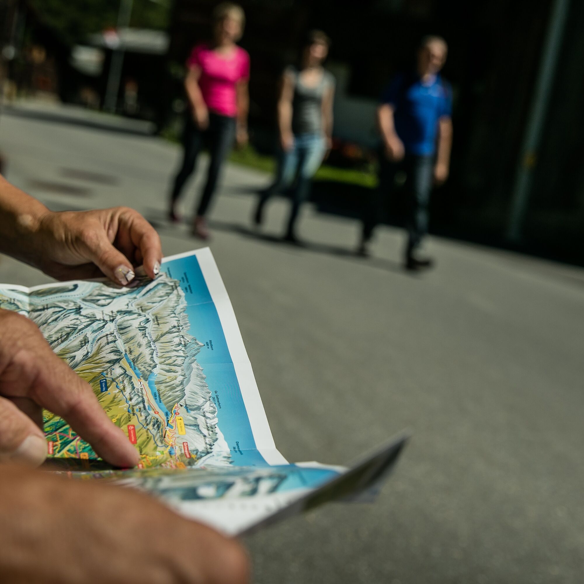
Take a map with you or download the complete description of the route with a large-scale map. Use only signposted paths and observe all markings and signs - for your own safety, for the protection of the landscape and in respect for wildlife. Be considerate of other users. Take your rubbish and that of others with you.
Weather conditions in the mountains can change very quickly and without warning. Adequate clothing and provisions (food and drink) are very important. If the weather is unstable, it is better to turn around early.
Carry additional sun protection with you. UV rays at high altitudes can be very strong, even when the sky is overcast.
Plan your tour carefully and in detail. Inform yourself in advance about the current conditions and weather conditions. The summer report provides you with valuable information from the region.
From Brig follow cantonal road No 19 (Furkastrasse) for 40km to Oberwald.
The Goms valley is also easily accessible from direction Zurich / Lucerne via Andermatt –
car transport Furka.
The regional trains of the Matterhorn Gotthard Railway take you from Brig to Oberwald in 1h 23 min. The Goms valley is also easily accessible from the Zurich / Lucerne via Andermatt and the Furka base tunnel.
The timetables for all trains and busses can be found at www.sbb.ch.
Public parking spaces are available in the vicinity of the railway station or in the village of Oberwald. Follow the local parking guidance system.
T2
Summer sports report at www.goms.ch/en/summer-sports-report
Time table www.sbb.ch
Telephone number of rescue service: 144
Mountain restaurants on the Gommer Höhenweg: Guferschmatte, Reckingen, www.guferschmatte.ch Walibach mountain hut, Selkingen, www.bergütte-walibach.ch
The Walibach mountain hut is located on the Gommer Höhenweg at 1680 metres above sea level in the midst of our beautiful alpine world in the Bieligertal and invites you to linger.
High above Reckingen is the homely hut z'Guferschmatte. The food and drink menu is small, simple and of course focused on genuine Gommer products.
Webbkameror för rundturen
-
Bellwald Tourismus
-
Gletsch
-
Obergesteln
-
Ulrichen VS / Hotel Astoria
-
Blitzingen
-
Oberwald
-
Berghaus Oberaar
-
Fiesch
-
Obergoms/Oberwald
-
Nordisches Zentrum Goms
-
Münster Landhaus Goms
-
Reckingen Hotel Glocke
-
Blitzingen Bodmen
-
Blitzingen - Hotel Castle
-
Bellwald Furggulti
-
Bellwald Talstation
-
Bellwald Mittelstation Fleschen
-
Fiescheralp - Kühboden
-
Hotel Grimselpass
-
Oberwald / Autoverlad
-
Grimselsee - Grimsel Hospiz
-
Obergesteln - Source du Rhône
Populära turer i närområdet
-
4,0
Panoramaweg über den Aletschgletscher
MediumVandring 17,7 km -
5,0
Gelmersee-Tour
ljusVandring 9,03 km -
4,0
Panorama Tour Aletsch Arena
MediumVandring 14,7 km -
5,0
Circular hike from Grimsel Pass - Sidelhorn via Jostsee
MediumVandring 8,47 km -
5,0
9 lake-trail
tungVandring 17,3 km -
UNESCO Höhenweg
Vandring 3,70 km -
2,0
Circular hike Furka Pass-Tällistock
MediumVandring 11,0 km -
5,0
Aletsch Sightseeing
MediumVandring vintertid 15,5 km -
4,0
Eggishorn via ferrata
MediumVia ferrata 1,39 km -
Cultural route in Münster
ljusTema spår 0,54 km
Vandring och spårning


Missa inte erbjudanden och inspiration inför nästa semester
Din e-postadress har lagts till på e-postlistan.