


Württemberger Tälerradweg - Stage 6: Bad Boll to Schwäbisch Gmünd


The cycle path leads idyllically down into the wide Filstal valley to Göppingen - the home station of the Märklin brothers. Here, model railway enthusiasts can stop at a one thousand square metre exhibition...
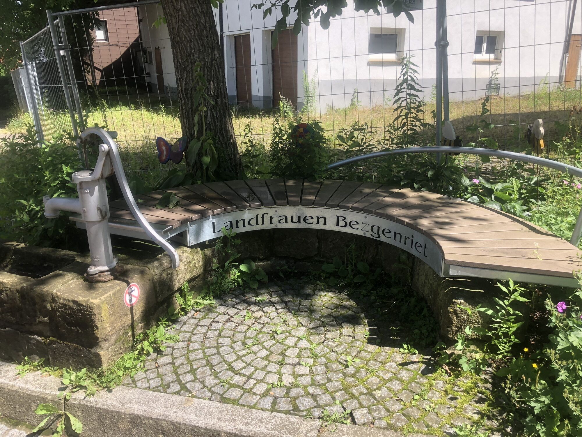
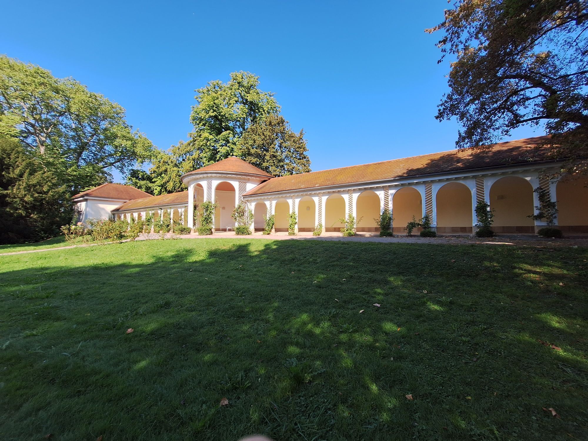
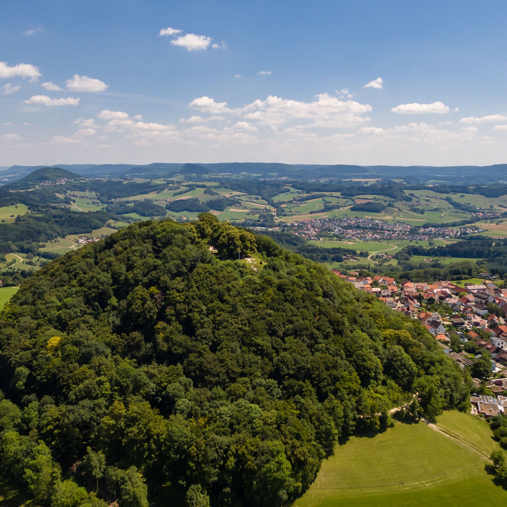
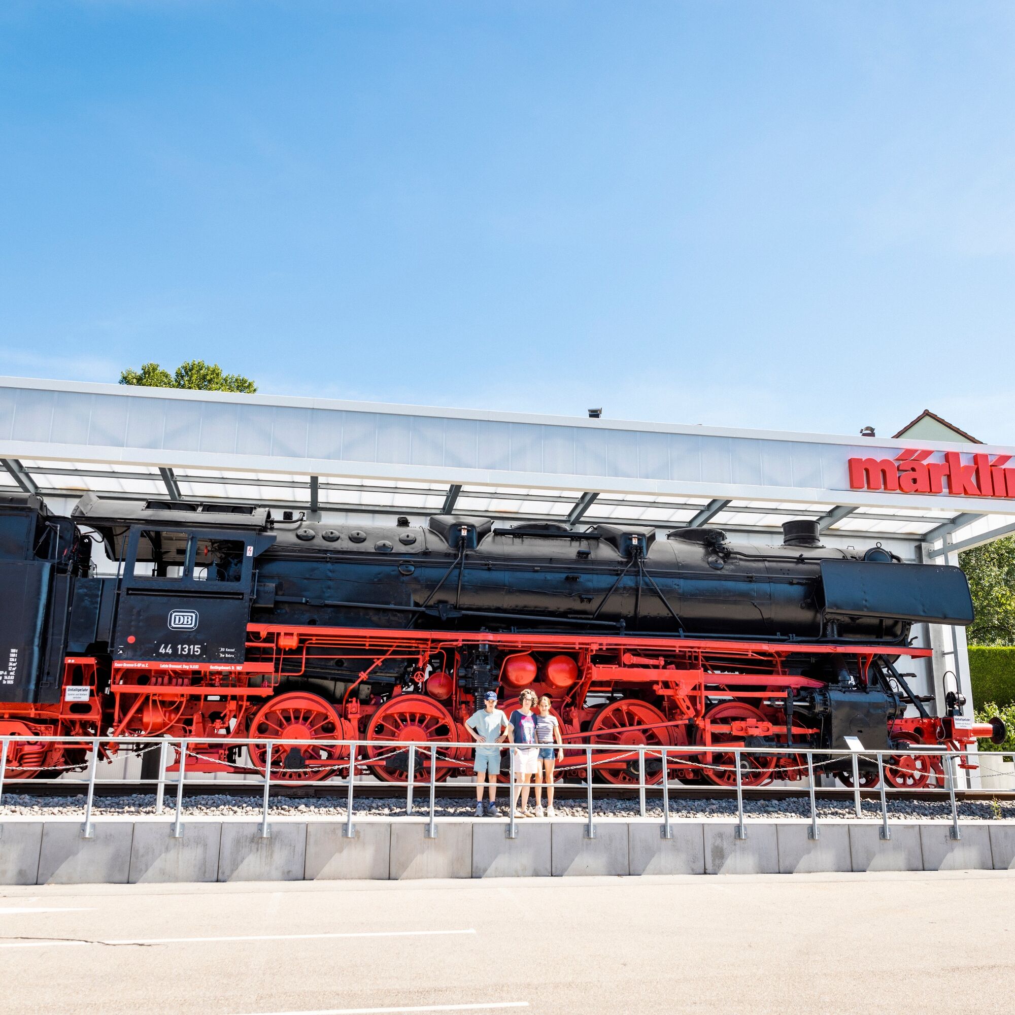
The cycle path leads idyllically down into the wide Filstal valley to Göppingen - the home station of the Märklin brothers. Here, model railway enthusiasts can stop at a one thousand square metre exhibition with model railways on two levels and an interactive experience of the company's history. But Göppingen is not just a Märklin town, it is also a Hohenstaufen town. In the Hohenstaufen exhibition, the time of the former Roman-German Emperor Barbarossa, who was once Duke of Swabia, comes to life. The last valley on the Württemberg Valley Cycle Route is the Rems Valley, which is characterised by vineyards and orchards. The stage ends in the historic old town of Schwäbisch Gmünd with a view of the Dreikaiserberge mountains.
Ja
We recommend taking a trekking bike with or without a motor, a helmet, cycling tools, weatherproof clothing, sufficient food and drink, a cycling map or GPS device and a mobile phone on the Württemberger Tälerradweg.
The ADFC Baden-Württemberg offers a package tour on the Württemberger Tälerradweg, so that it can be travelled in a relaxed manner and without much planning effort.
Populära turer i närområdet
-
4,9
Löwenpfad "Staufer-Runde" - Barbarossa's traces before a dreamlike backdrop
MediumVandring 11,3 km -
4,5
Löwenpfad "Weitblick-Tour" - High up and far-reaching view
tungVandring 12,0 km -
4,6
Löwenpfad "Orchideenpfad" - Herbs, pasqueflower and juniper heather
MediumVandring 9,33 km -
5,0
Löwenpfad "Heldentour" - The king stage of the Löwenpfade
tungVandring 23,4 km -
5,0
Blicklestour Lauterstein
tungVandring 13,8 km -
3,5
Löwenpfad "Messelberg-Tour" - Hiking with impressive views
MediumVandring 7,72 km -
3,0
Circular route Drei-Kaiserberge
tungVandring 25,7 km -
1,0
Nordalbrunde
MediumVandring 4,76 km -
Löwenpfad "Spielburg-Runde" - Around the mountain Hohenstaufen
ljusVandring 3,53 km -
Lautertal route
tungVandring 26,0 km

Vandring och spårning


Missa inte erbjudanden och inspiration inför nästa semester
Din e-postadress har lagts till på e-postlistan.