


Großarltal: Throneck, 2,214 m


Foton av våra användare
-
 © Christoph GassnerSkapad på 23.02.2025
 -
 © Sepp26Skapad på 05.02.2024
 -
 © Sepp26Skapad på 05.02.2024
 -
 © Sepp26Skapad på 05.02.2024
 -
 © Sepp26Skapad på 05.02.2024
 -

 © Josef RauchenzaunerSkapad på 06.03.2021
 -

 © Marc-Kevin EmmerlingSkapad på 04.09.2025
 -
 © Marc-Kevin EmmerlingSkapad på 04.09.2025
 -
 © Marc-Kevin EmmerlingSkapad på 04.09.2025
 -
 © Marc-Kevin EmmerlingSkapad på 04.09.2025

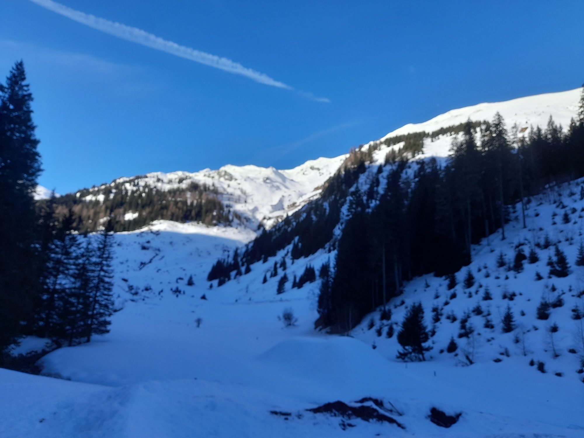

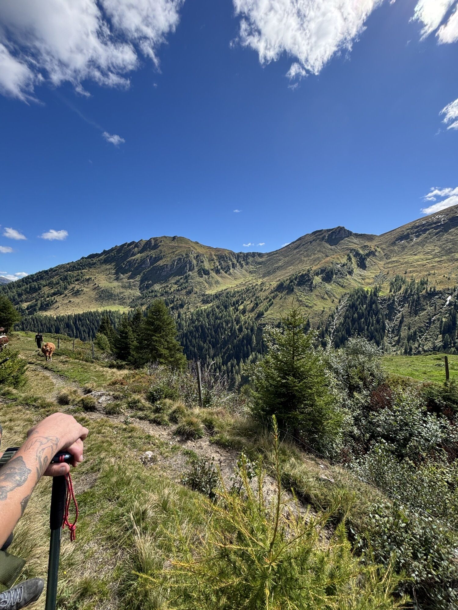
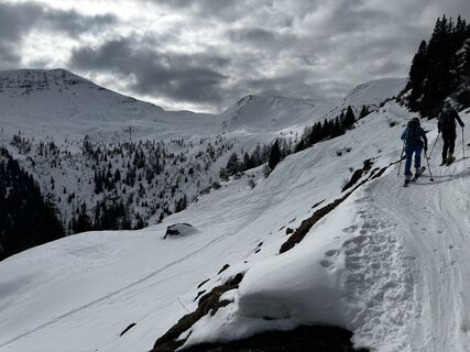
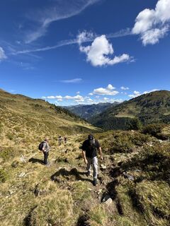
The ski tour to the Throneck, 2,214 m in the Tofernalm area poses no high demands on the ski tourer. However, there is the option to ascend to the neighboring summit, the Finsterkopf, or to the notch between...
The ski tour to the Throneck, 2,214 m in the Tofernalm area poses no high demands on the ski tourer. However, there is the option to ascend to the neighboring summit, the Finsterkopf, or to the notch between Throneck and Kreuzkogel (Döferl) after the descent, in order to enjoy the wonderful slopes back down to the alpine meadow floor repeatedly. Sometimes the Throneck is done in combination with the Gamskarkogel, totaling around 1,450 meters of descent.
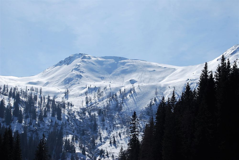
ASCENT: approx. 3.5 hours
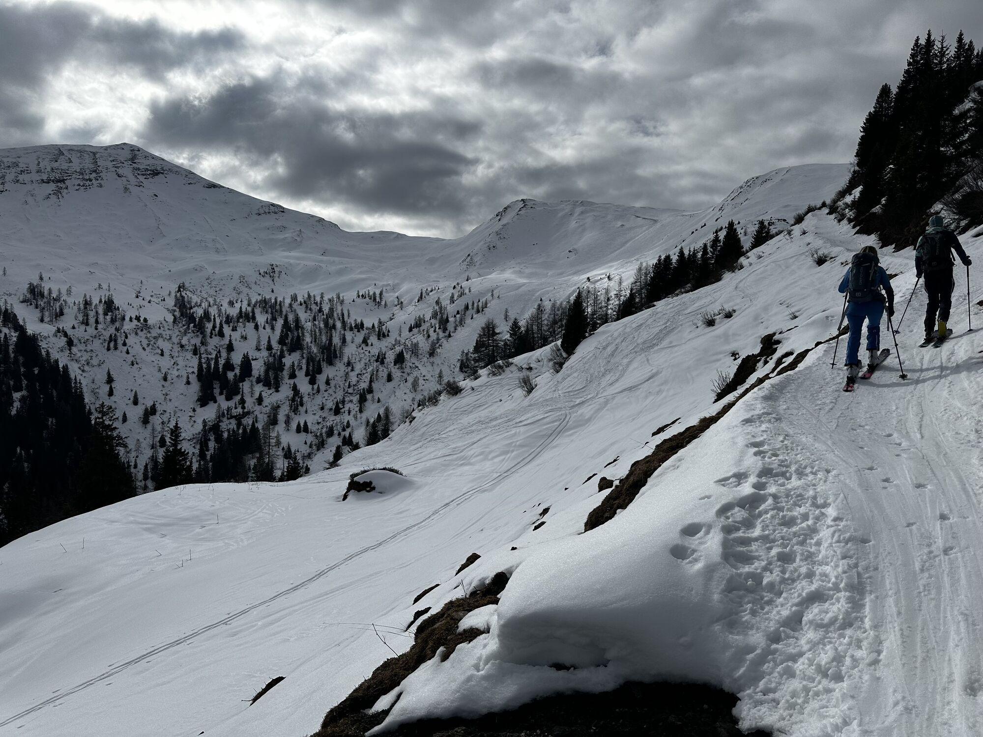
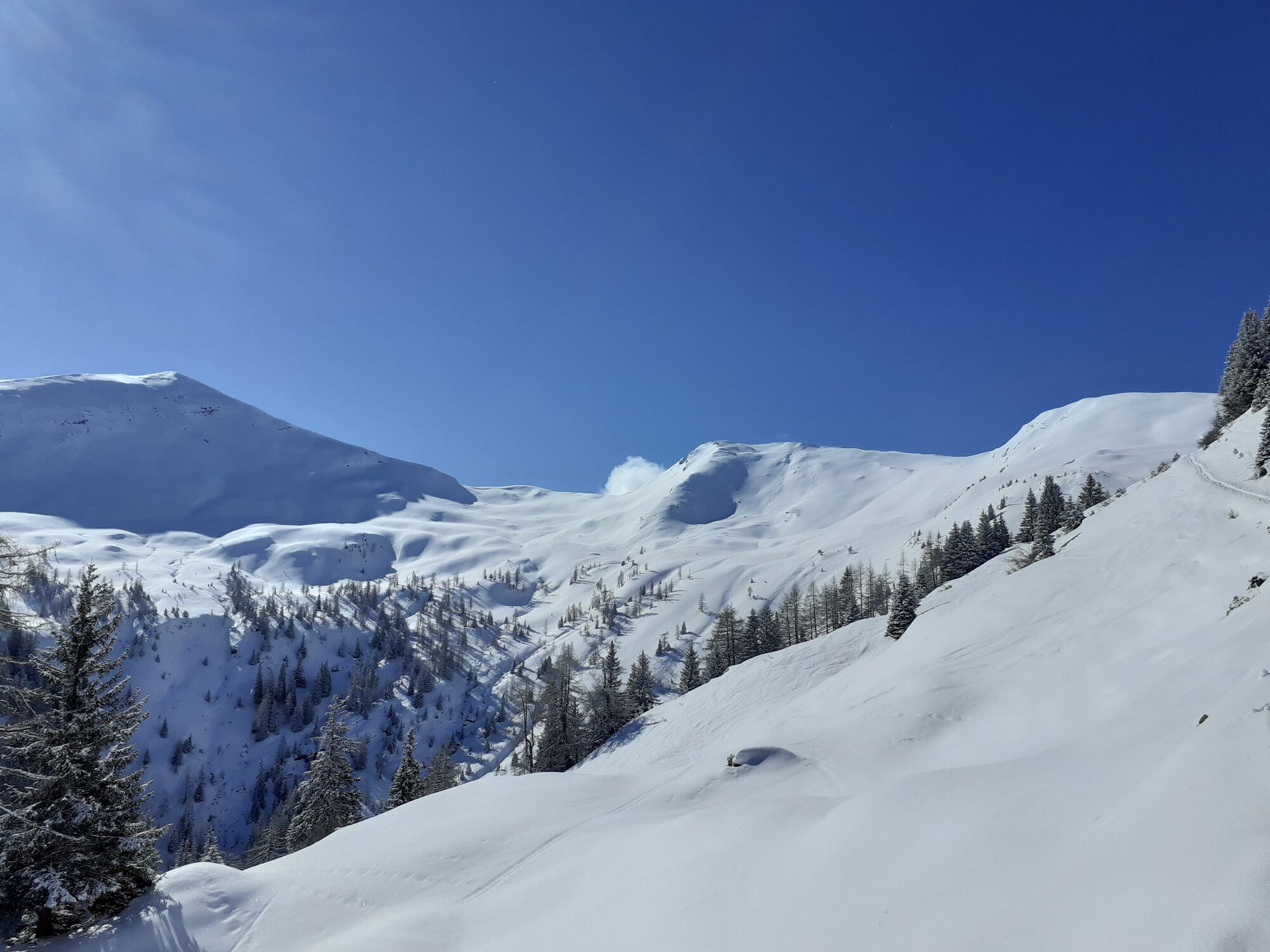
From the car park below the Hinterfeld farm via the forest road to a chapel and then further to the Harbachalm. Continue on the hiking trail to the Tofernalm and Tofernscharte. From there, easily make your way left to the rather inconspicuous summit of the Finsterkopf. From there, continue a bit along the ridge to reach the Throneck.
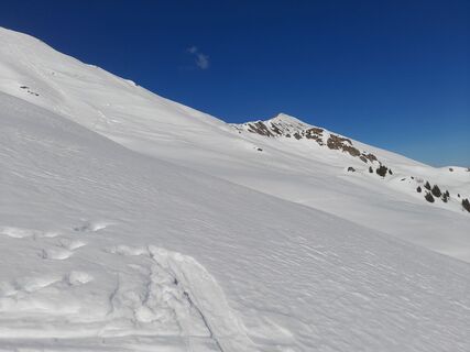
DESCENT: approx. 1 hour
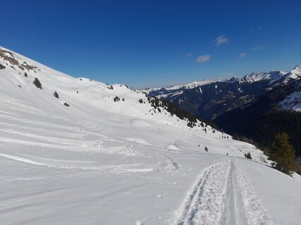
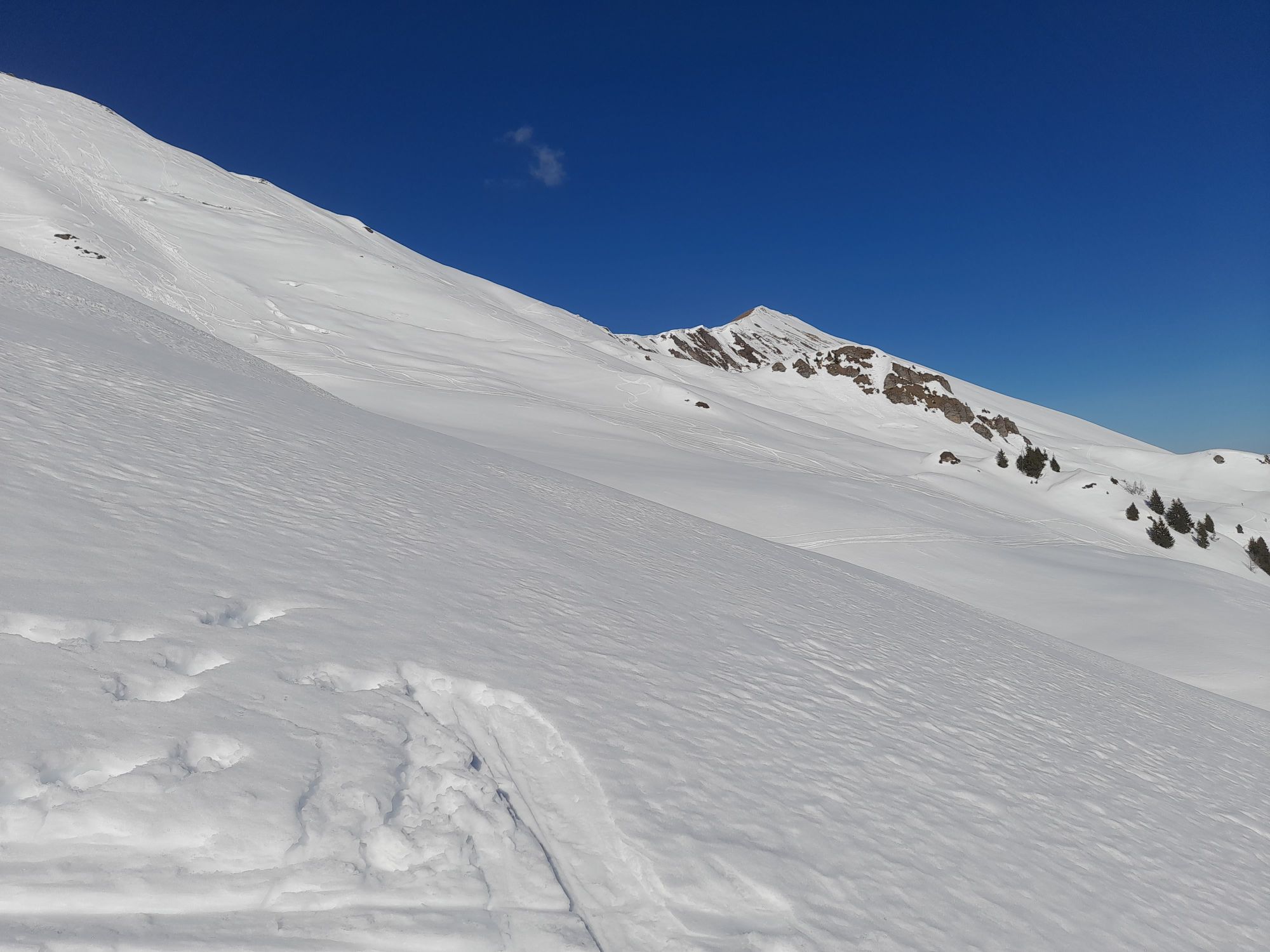
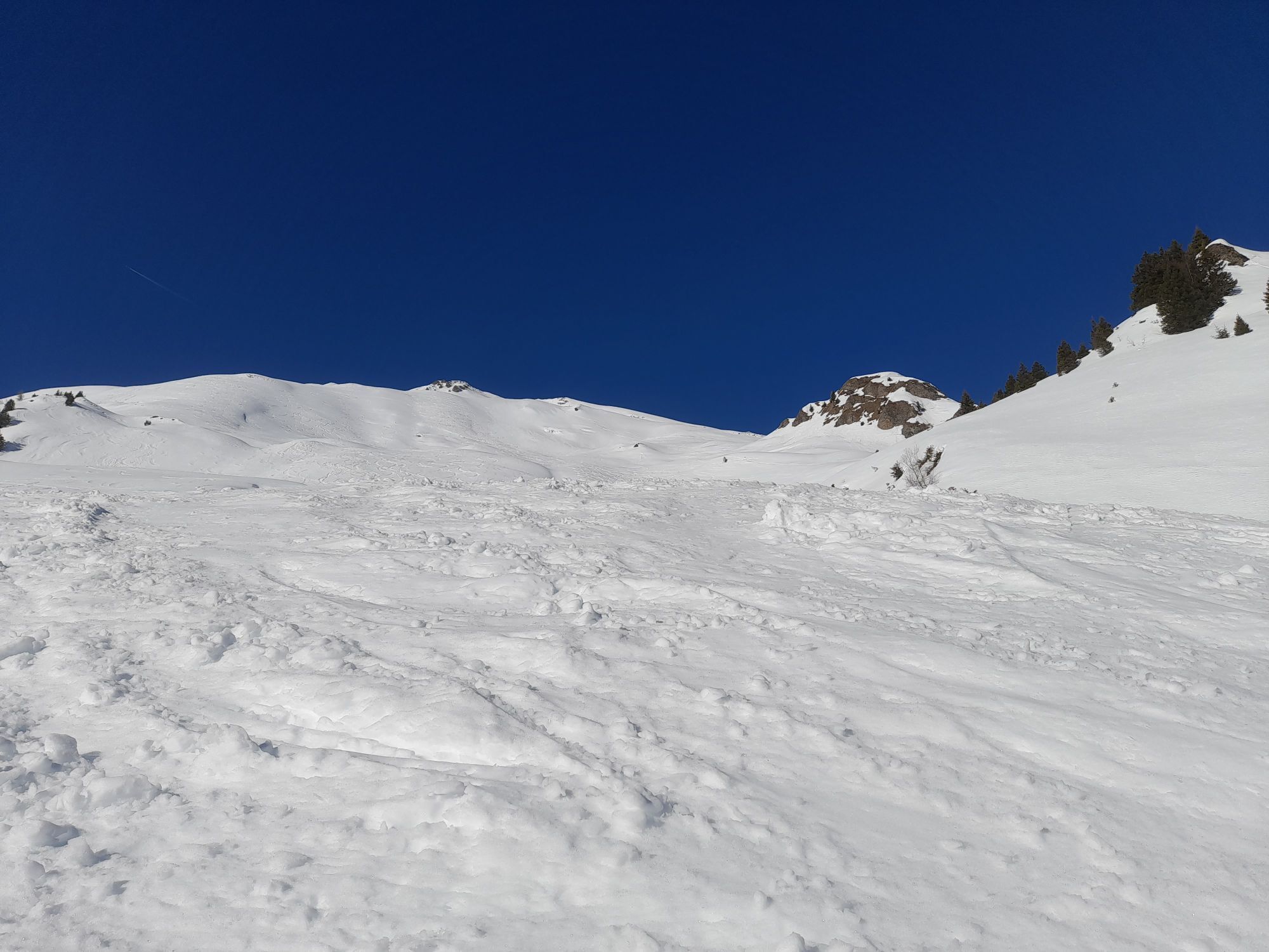
From the summit, slightly left over a beautiful, moderately steep slope, then almost in the fall line, finally through a section overgrown with alder shrubs, onto the alpine meadow floor. After crossing a small stream, you reach a flat section to the Harbachalm forest road. A short ascent, then follow this path back to the starting point.
Ja
Ja
Ski touring equipment, avalanche transceiver, shovel, probe, mobile phone, first aid kit, and bivy sack. An airbag system increases the chance of survival.
The starting point for this route is the car park below the Hinterfeld farm. It can be reached from the Großarler Landesstraße via a farm road that branches right just before the tunnel in Hüttschlag. With good snow conditions, the ski tour is also possible from the village of Hüttschlag, with an elevation difference of about 1,250 m.
Postbus line no. 540 to Hüttschlag
Car park below the Hinterfeld farm
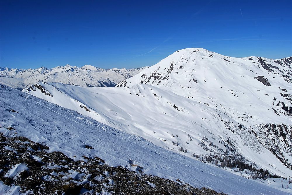
The snow on this ski tour is often still very good, even if it is already relatively soft on other ski tours.
Webbkameror för rundturen
Populära turer i närområdet
-
4,7
Bahnhof Bad Hofgastein nach Bahnhof Bad Gastein
MediumVandring 13,0 km -
5,0
Türchlwand von der Bergstation Schlossalmbahn Bad Hofgastein, Österreich
MediumVandring i berg 7,05 km -
4,6
Gasteiner Höhenweg von Bad Gastein nach Bad Hofgastein
ljusVandring 8,58 km -
4,8
Hüttenkogel - Graukogel von der Bergstation
MediumVandring i berg 4,68 km -
4,7
Gasteiner Höhenweg (Schlechtwettervariante)
ljusVandring 9,50 km -
4,2
Großarl: Unterwandalm - Karseggalm - Breitenebenalm
MediumVandring 5,93 km -
4,6
Mountain route from the Kötschachtal to the natural jewel Reedsee
MediumVandring 12,5 km -
4,4
Wasserfall Bad Hofgastein
ljusVandring 3,89 km -
4,7
Kölnbreinspeicher bis Osnabrücker Hütte
ljusVandring 15,9 km -
4,8
Großarl: Mooslehenalm – Niggeltalalm – Viehhausalm
MediumVandring 5,44 km
Vandring och spårning


Missa inte erbjudanden och inspiration inför nästa semester
Din e-postadress har lagts till på e-postlistan.