


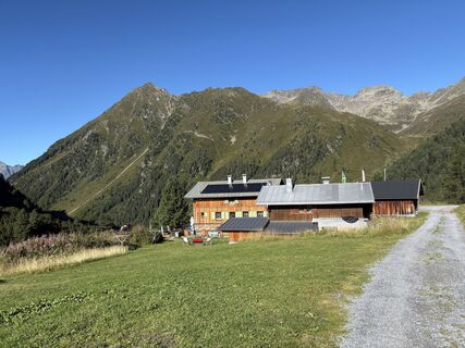
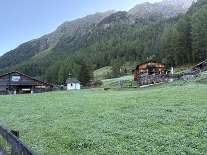
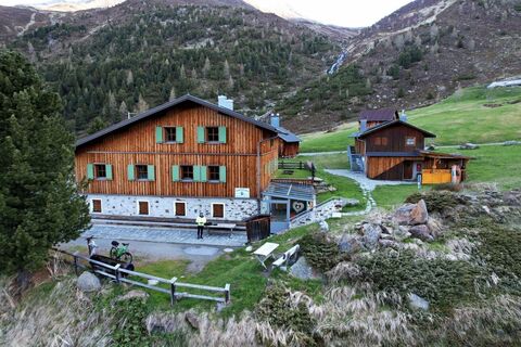
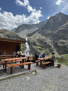
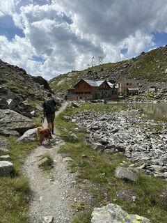
Schweinfurter Hut - Winnebachsee Hut - Umhausen-Niederthai


Foton av våra användare
-

 © Joachim AignerSkapad på 16.03.2024
 -
 © Christian FreythalerSkapad på 11.10.2025
 -
 © Christian FreythalerSkapad på 11.10.2025
 -

 © Andreas KrauseSkapad på 06.09.2025
 -
 © Andreas KrauseSkapad på 06.09.2025
 -
 © Andreas KrauseSkapad på 06.09.2025
 -
 © Andreas KrauseSkapad på 06.09.2025
 -
 © Werner FögerSkapad på 31.08.2025
 -
 © Werner FögerSkapad på 31.08.2025
 -
 © Dietrich PinhammerSkapad på 15.08.2025
 -
 © Dietrich PinhammerSkapad på 15.08.2025
 -
 © Dietrich PinhammerSkapad på 15.08.2025
 -
 © Steve GilliamsSkapad på 04.08.2025
 -
 © Steve GilliamsSkapad på 04.08.2025
 -
 © Werner FögerSkapad på 19.05.2025
 -
 © Werner FögerSkapad på 19.05.2025
 -
 © Werner FögerSkapad på 19.05.2025
 -

 © KSkapad på 28.02.2025
 -
 © KSkapad på 28.02.2025
 -

 © Martin HudelistSkapad på 25.11.2024
 -
 © Werner FögerSkapad på 27.10.2024
 -
 © Werner FögerSkapad på 27.10.2024
 -

 © Markus RaaßSkapad på 29.06.2024
 -
 © Denise JennissenSkapad på 25.08.2023
 -
 © Denise JennissenSkapad på 25.08.2023
 -
 © Stefan BonnesSkapad på 30.06.2023
 -
 © eva_mountaininloveSkapad på 13.06.2021
 -
 © eva_mountaininloveSkapad på 13.06.2021
 -
 © eva_mountaininloveSkapad på 13.06.2021
 -
 © eva_mountaininloveSkapad på 13.06.2021

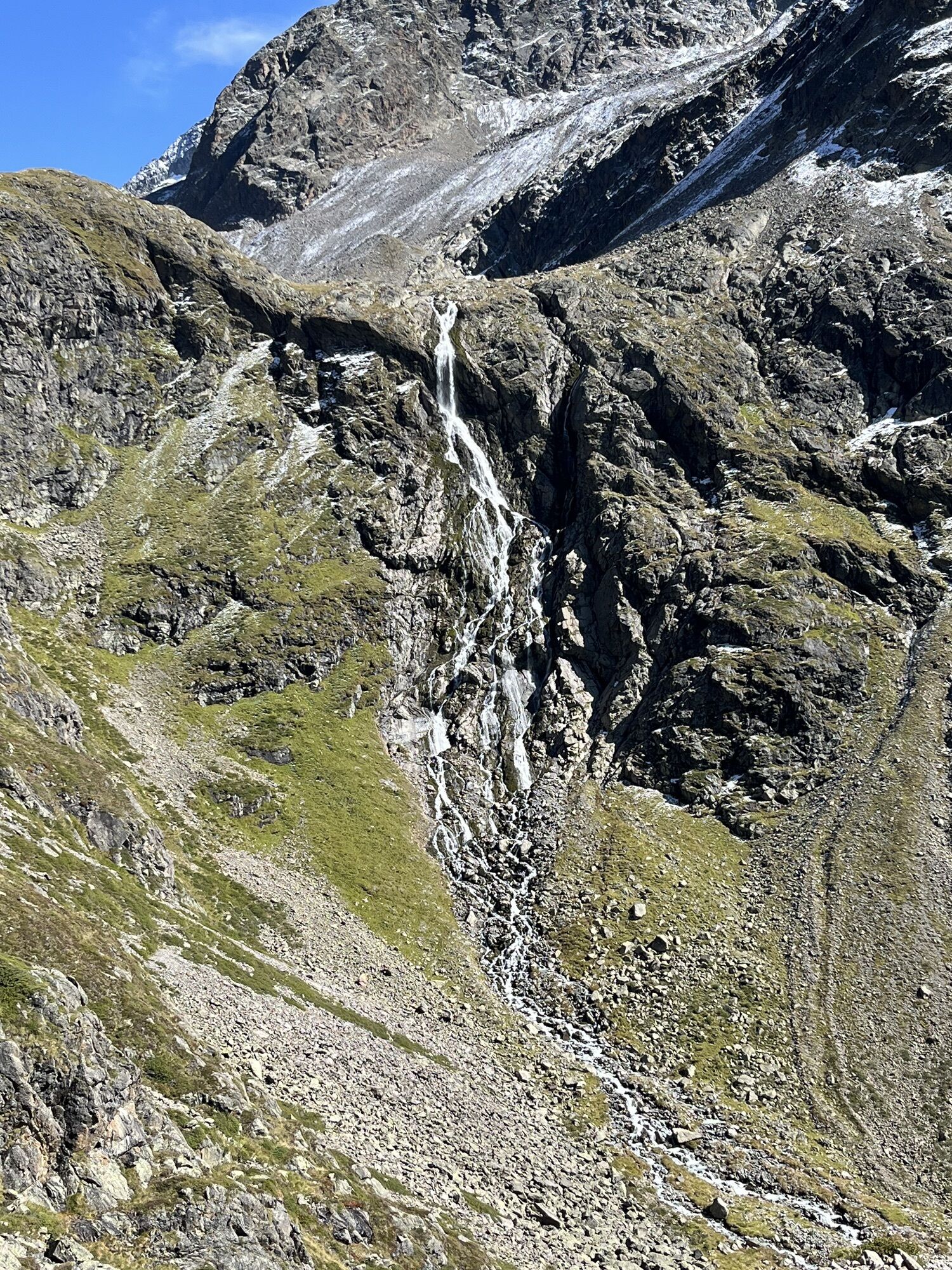
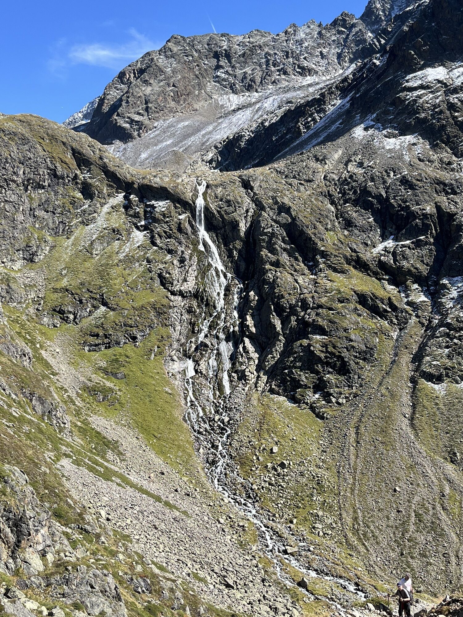


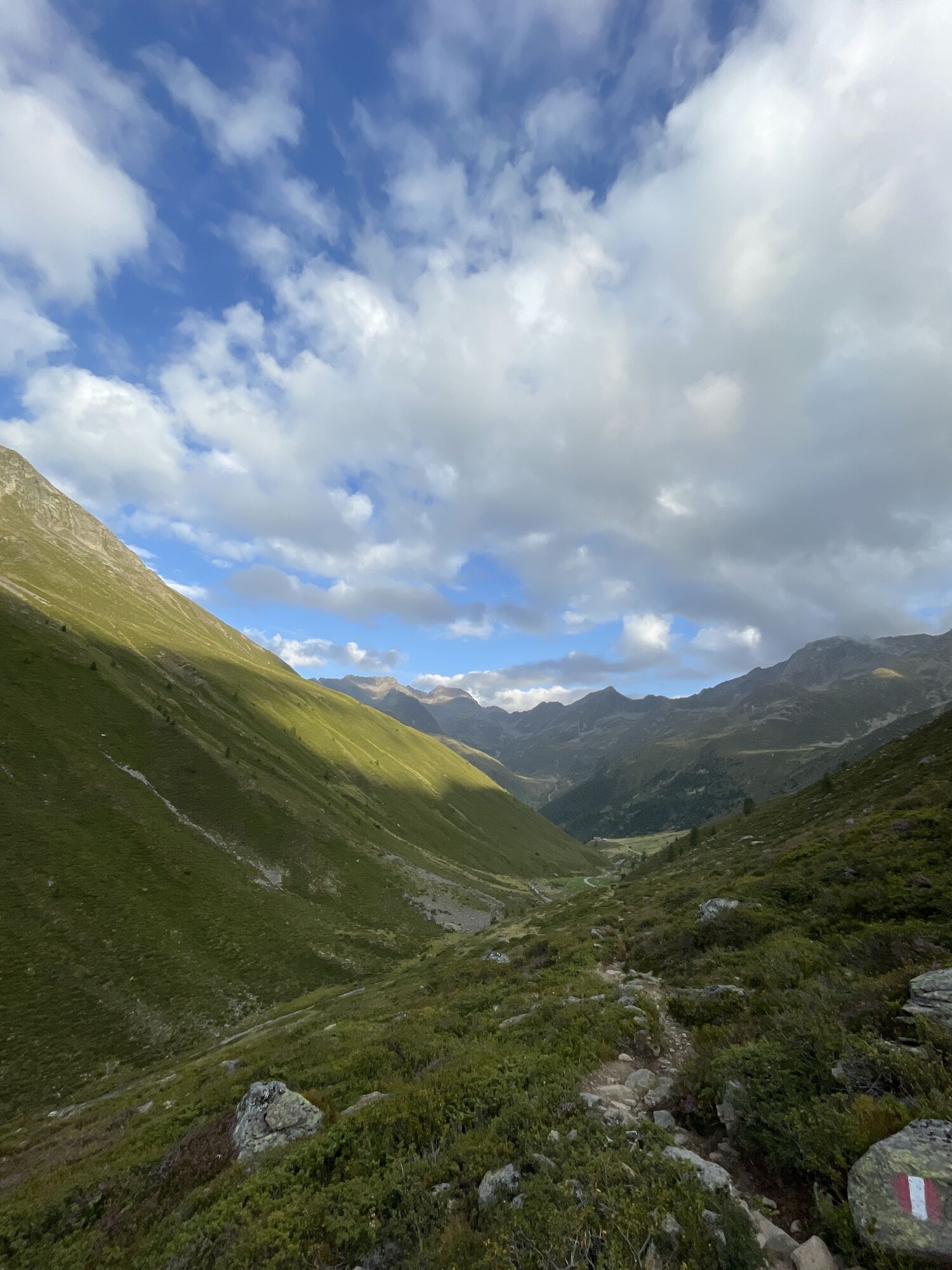


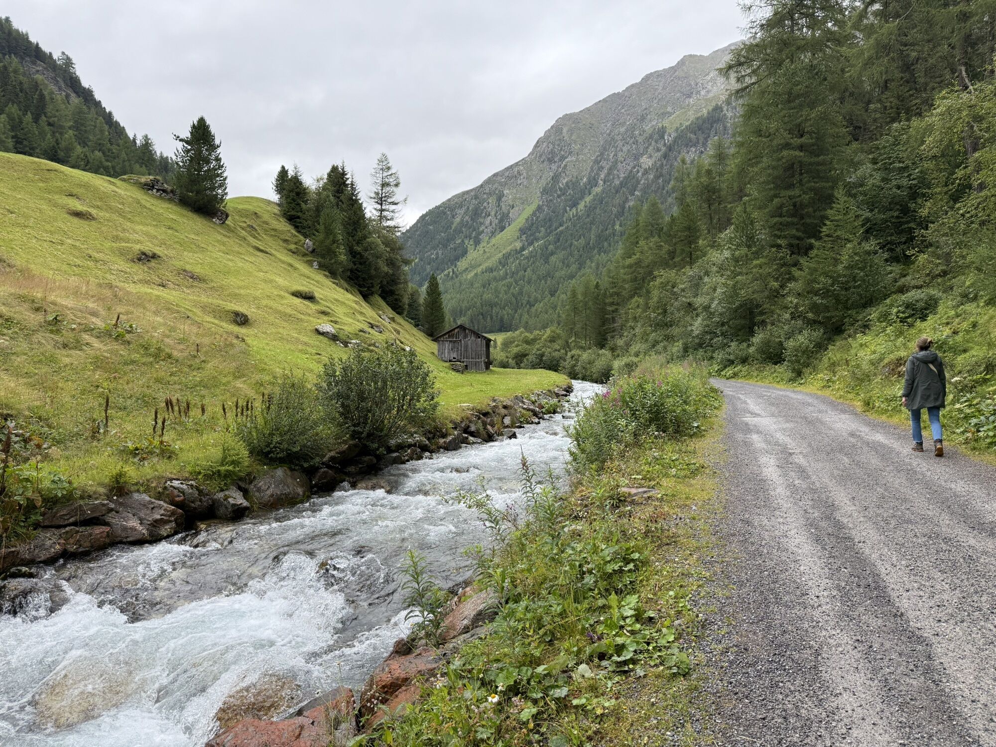

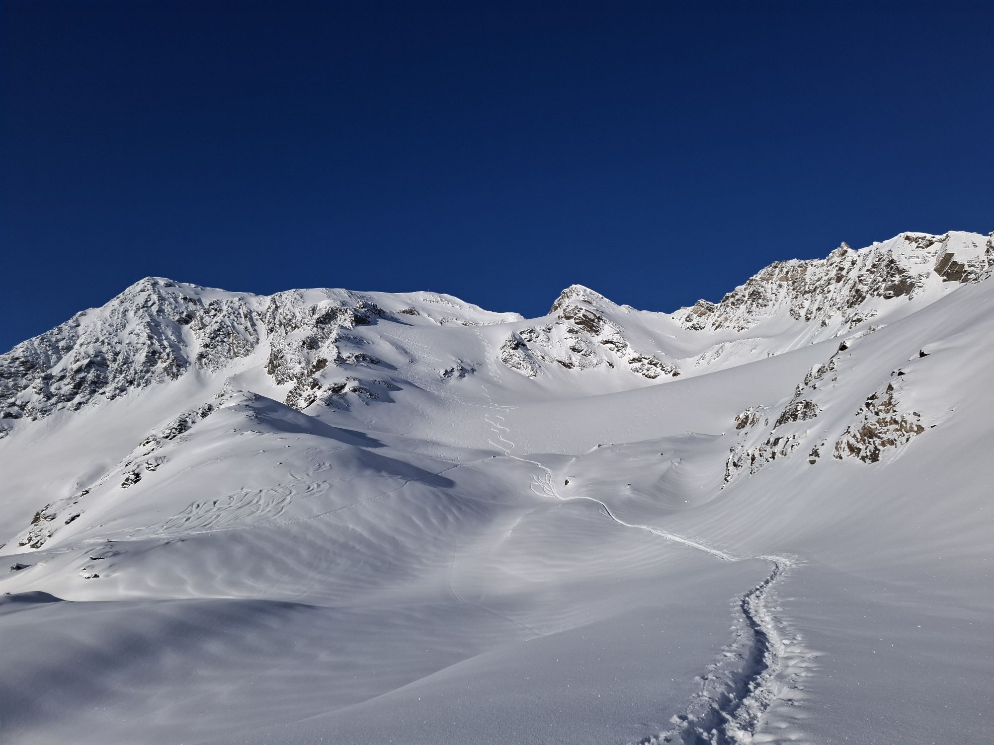
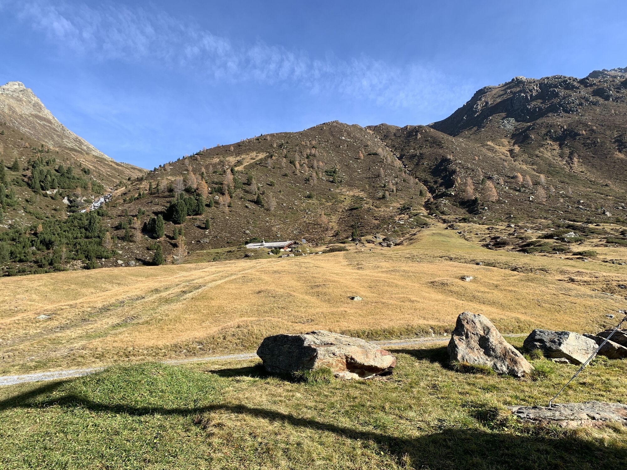
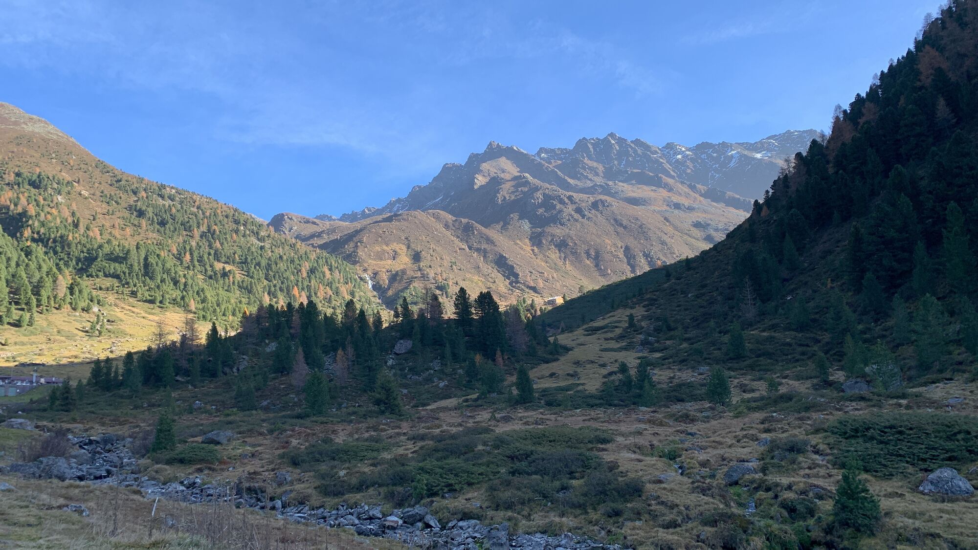
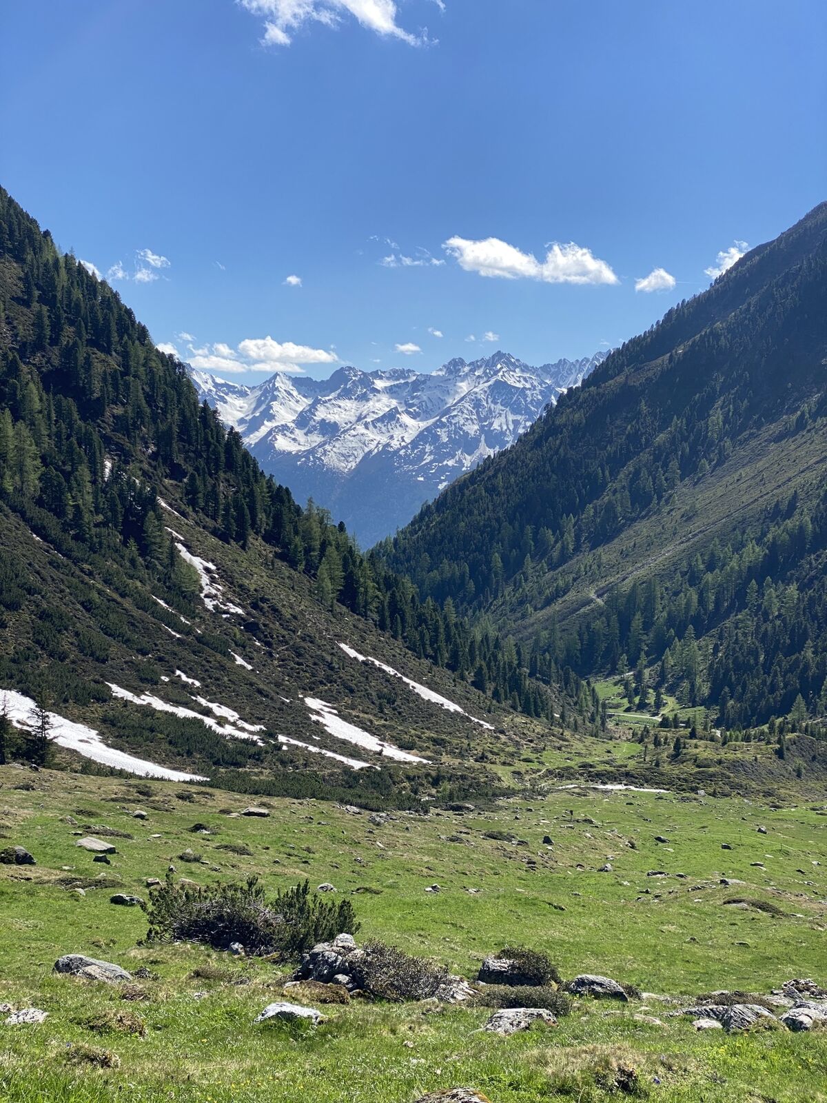
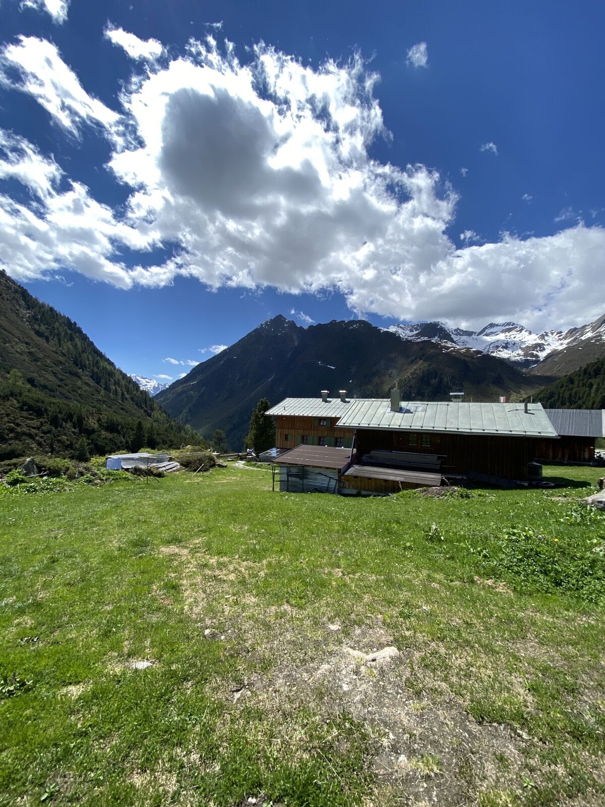
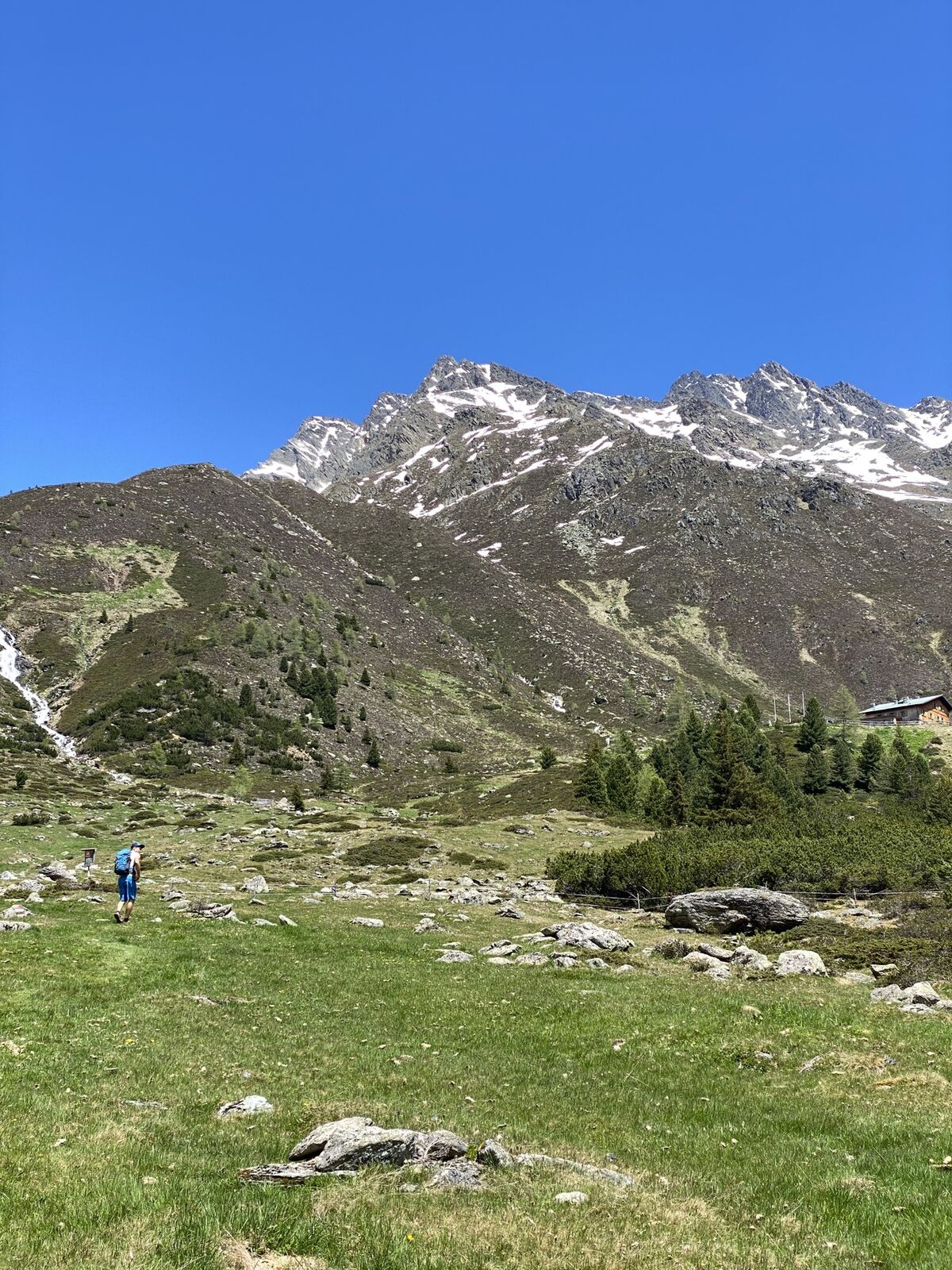
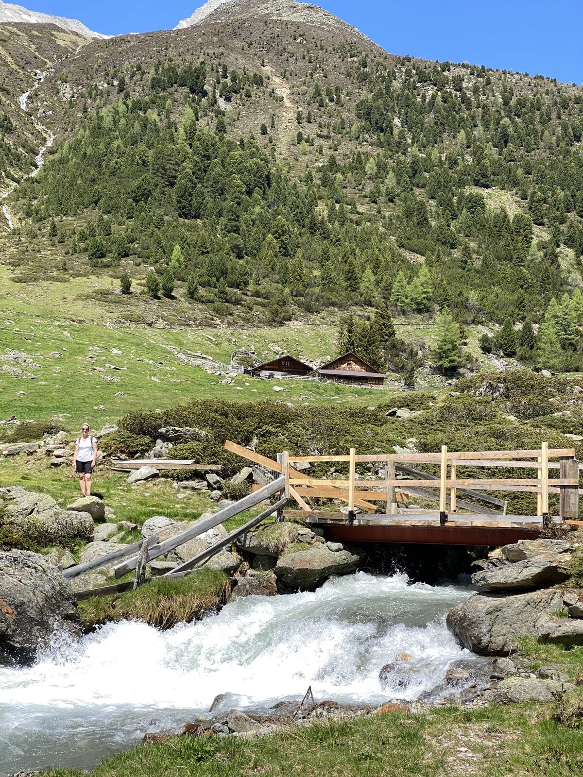
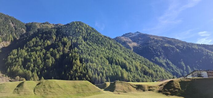
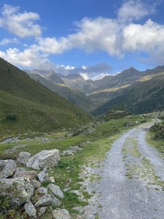
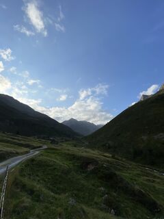
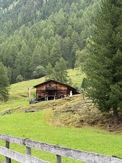
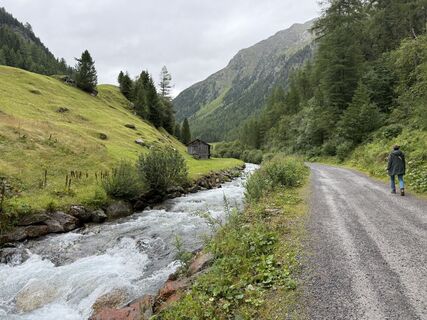
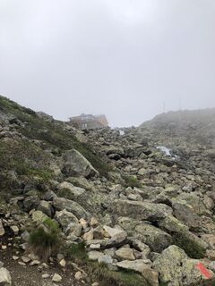
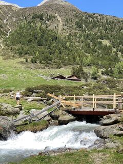
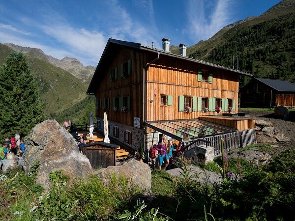
From Niederthai, walk towards the Schweinfurter Hut. Continue slowly uphill through the Zwieselbach valley. Just before the pass, the route runs somewhat laboriously through a rocky area close to the Zwieselbach...
From Niederthai, walk towards the Schweinfurter Hut. Continue slowly uphill through the Zwieselbach valley. Just before the pass, the route runs somewhat laboriously through a rocky area close to the Zwieselbach glacier.
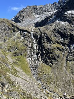
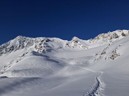
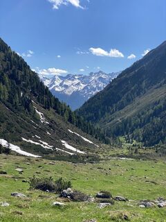
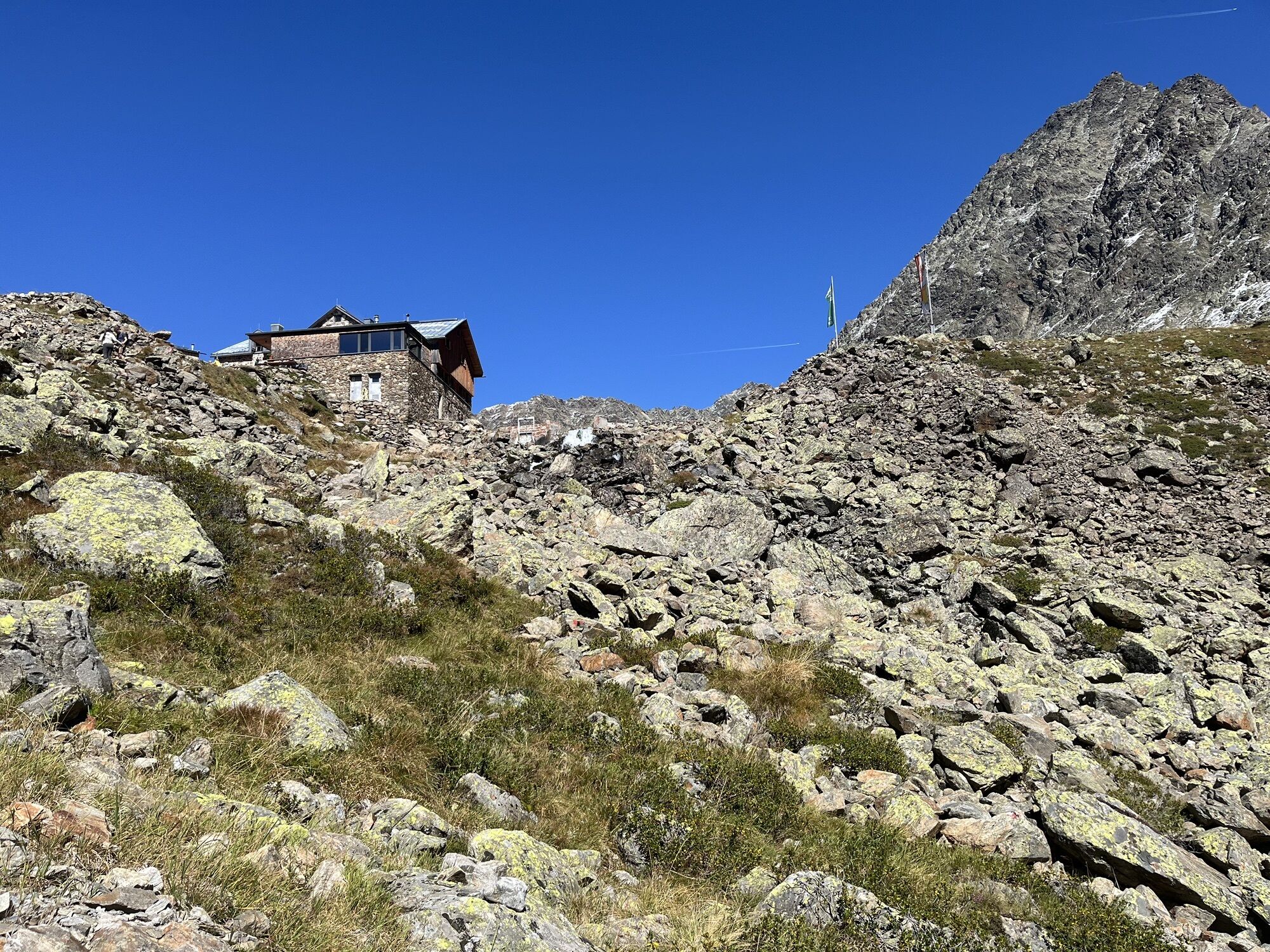
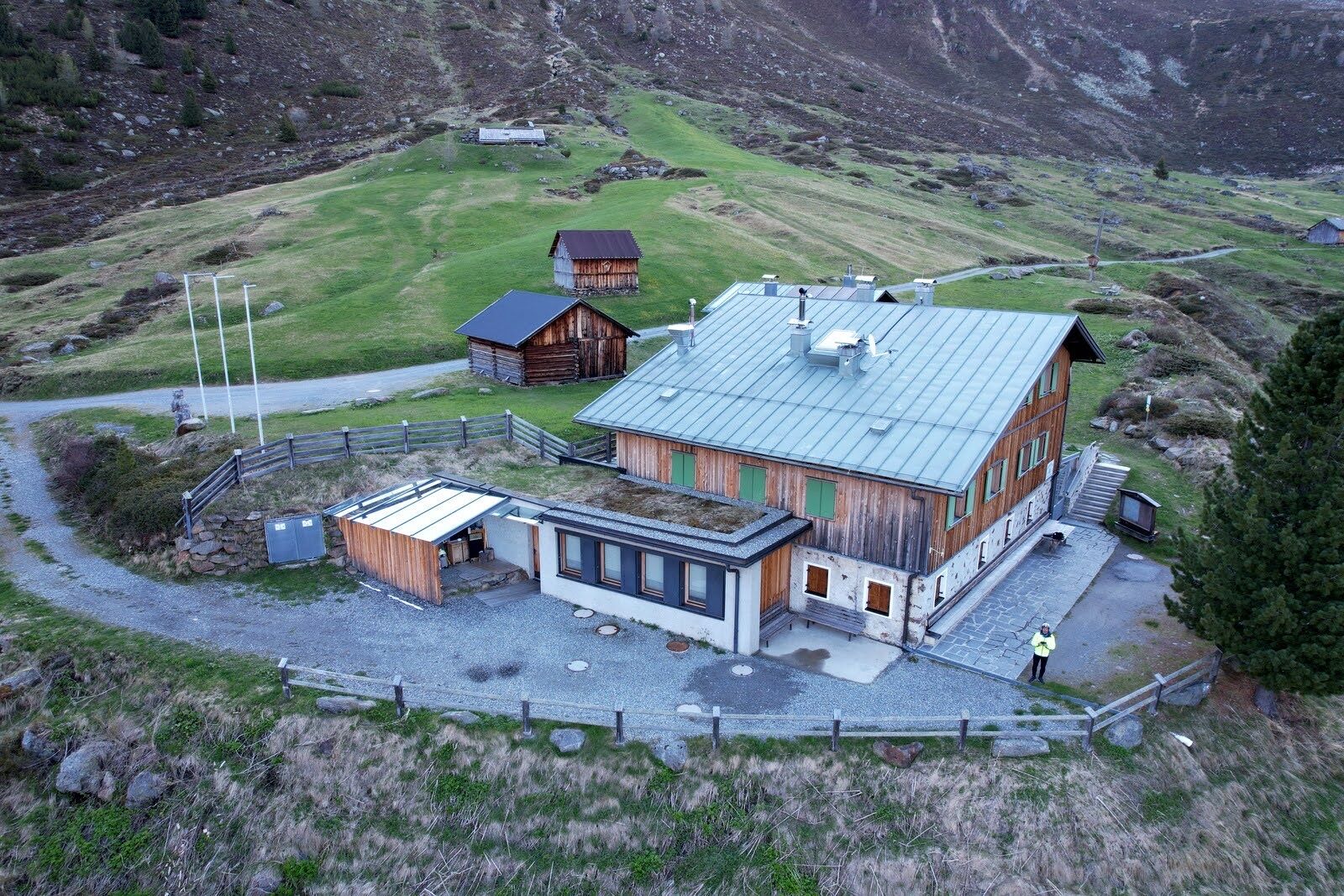
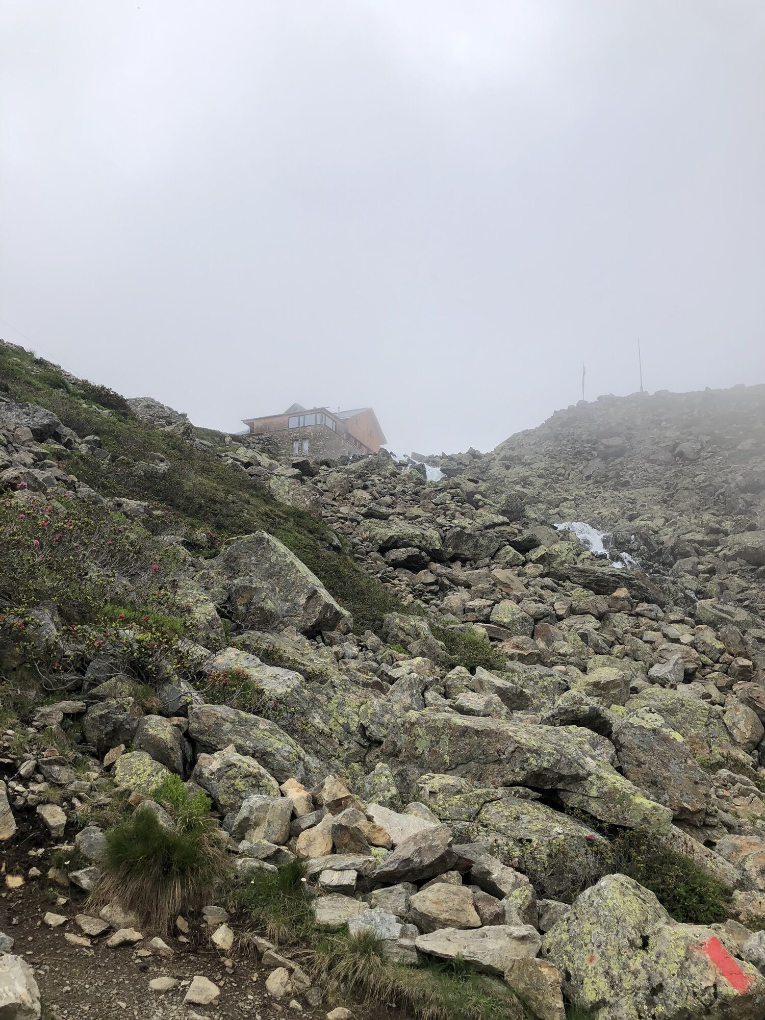
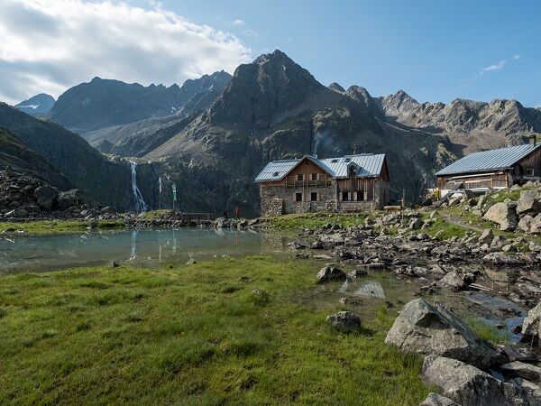
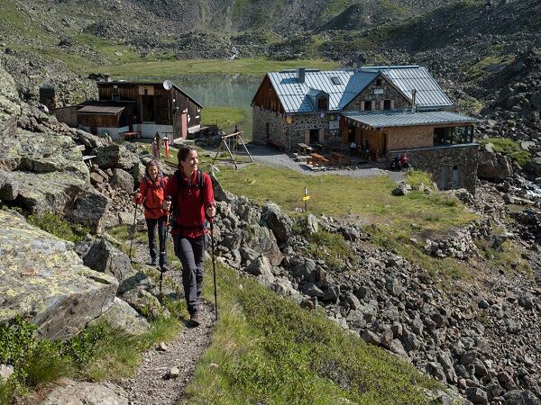
The highest point of the path is reached at the Zwieselbachjoch at 2,868 m. After the Zwieselbachjoch, the route goes rather steeply downhill over scree before you reach the Winnebachkar and descend to the Winnebachsee Hut.

From Niederthai, walk towards the Schweinfurter Hut. Continue slowly uphill through the Zwieselbach valley. Just before the pass, the route runs somewhat laboriously through a rocky area close to the Zwieselbach glacier.
The highest point of the path is reached at the Zwieselbachjoch at 2,868 m. After the Zwieselbachjoch, the route goes rather steeply downhill over scree before you reach the Winnebachkar and descend to the Winnebachsee Hut.
Appropriate equipment such as breathable and weather-appropriate outdoor clothing is required for all hikes and routes. It is necessary to carry a first aid kit, a mobile phone, and possibly a hiking map, as well as sufficient provisions for hikes without catering options.
Suitable for those without fear of heights, sure-footed, and experienced alpine climbers; very good physical condition, alpine experience, and mountain equipment (see Equipment), sometimes alpine protection gear, good weather conditions recommended. Please pay attention to the current weather report.
Driving to ÖTZTAL. Located in Tyrol, the ÖTZTAL branches off southwards as the longest side valley of the Eastern Alps. Traveling by car takes visitors through the Inn Valley to the entrance of the valley and further along the Ötztal. Besides the toll motorway, country roads can also be used. You can quickly and comfortably plan your trip using the route planner: To the route planner: https://www.google.at/maps
Travel comfortably and safely by train to the Ötztal station. The last stop or exit point is the ÖTZTAL station. Afterwards, you can conveniently and quickly travel through the entire valley to your desired destination by public transport or local taxi companies.
The current bus schedule is available at: http://fahrplan.vvt.at
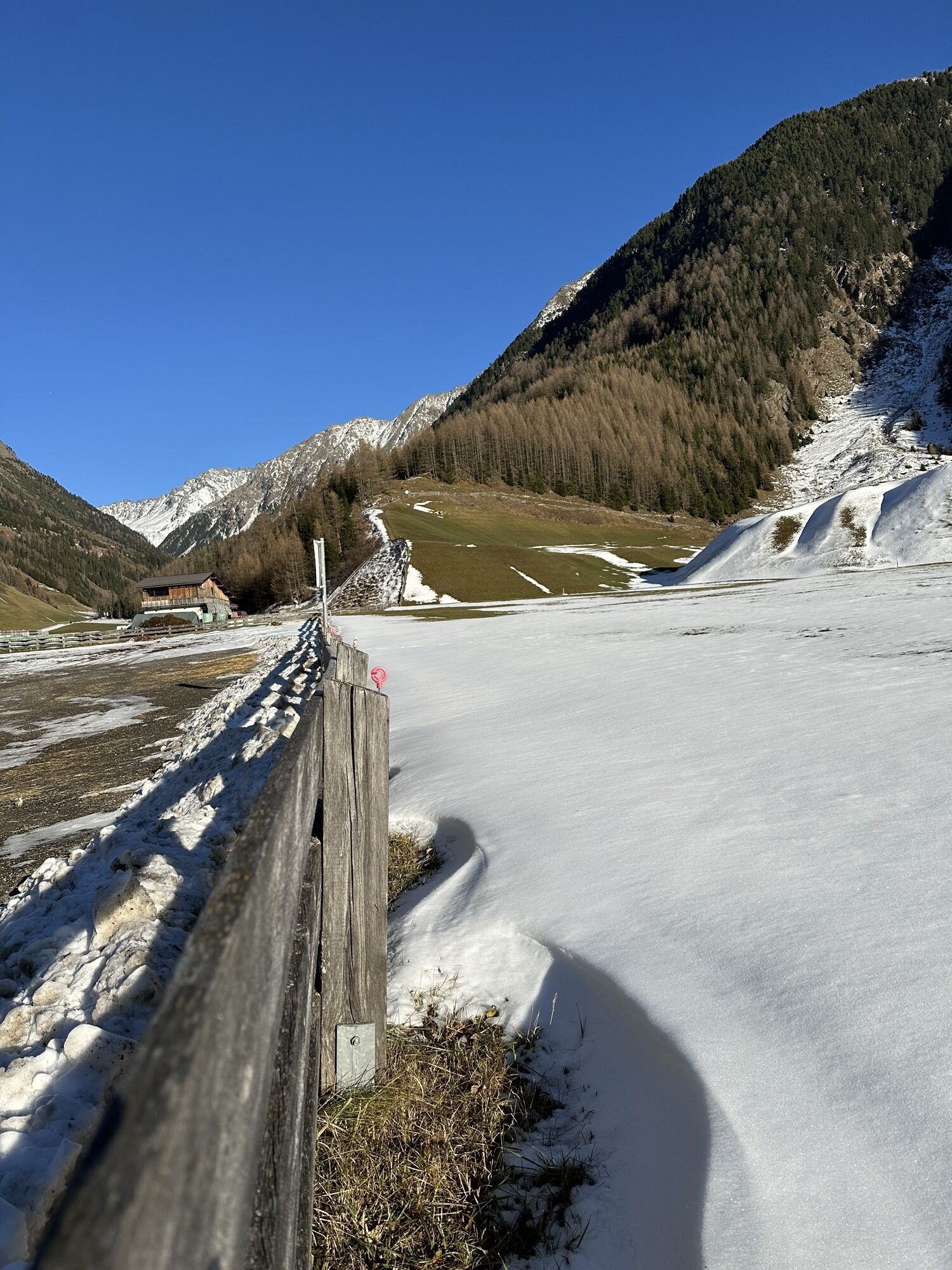
The following parking options are available in Niederthai: Umhausen
Parking lot Ortsteil Sennhof, paid from 07:00 to 18:30
More information about hiking in the Ötztal can be found here.
Webbkameror för rundturen
-
Niederthai im Ötztal
-
Niederthai - Alpin Appart
-
Skilift Gries im Ötztal
-
Gries - Längenfeld
-
Umhausen - Vivea Gesundheitshotel
-
Umhausen - der Veitenhof
-
Stuibenfall
-
Stuibenfall
-
Stuibenfall
-
Stuibenfall
-
Hotel Tauferberg
-
Hotel Tauferberg
-
Hotel Tauferberg
-
Hotel Tauferberg
-
Hotel Tauferberg
-
Niederthai - Delano
-
Niederthai - Delano
Populära turer i närområdet
-
4,7
Winnebachsee Hut – Längenfeld/Gries
MediumVandring 4,74 km -
4,5
Oetz - Piburger See - Oetz
MediumVandring 7,16 km -
4,6
Summit route Faltegartenköpfl
MediumVandring 4,04 km -
4,2
Hike Stuibenfall - Umhausen
ljusVandring 2,95 km -
4,4
Stuibenfall Umhausen circular hike
ljusVandring 9,32 km -
5,0
Larstigalm - Niederthai
ljusVandring 3,24 km -
4,5
Amberger Hut - Längenfeld/Gries
MediumVandring 5,60 km -
4,8
Faltegartenköpfl (01)
ljusSkitour 4,19 km -
4,7
Umhausen - Stuibenfall - Umhausen
MediumVandring 7,94 km -
4,1
Lampsenspitze, Sellrain, Tirol
MediumSkitour 4,97 km
Vandring och spårning


Missa inte erbjudanden och inspiration inför nästa semester
Din e-postadress har lagts till på e-postlistan.