


Smuggler Hike - Obergurgl
Foton av våra användare
-
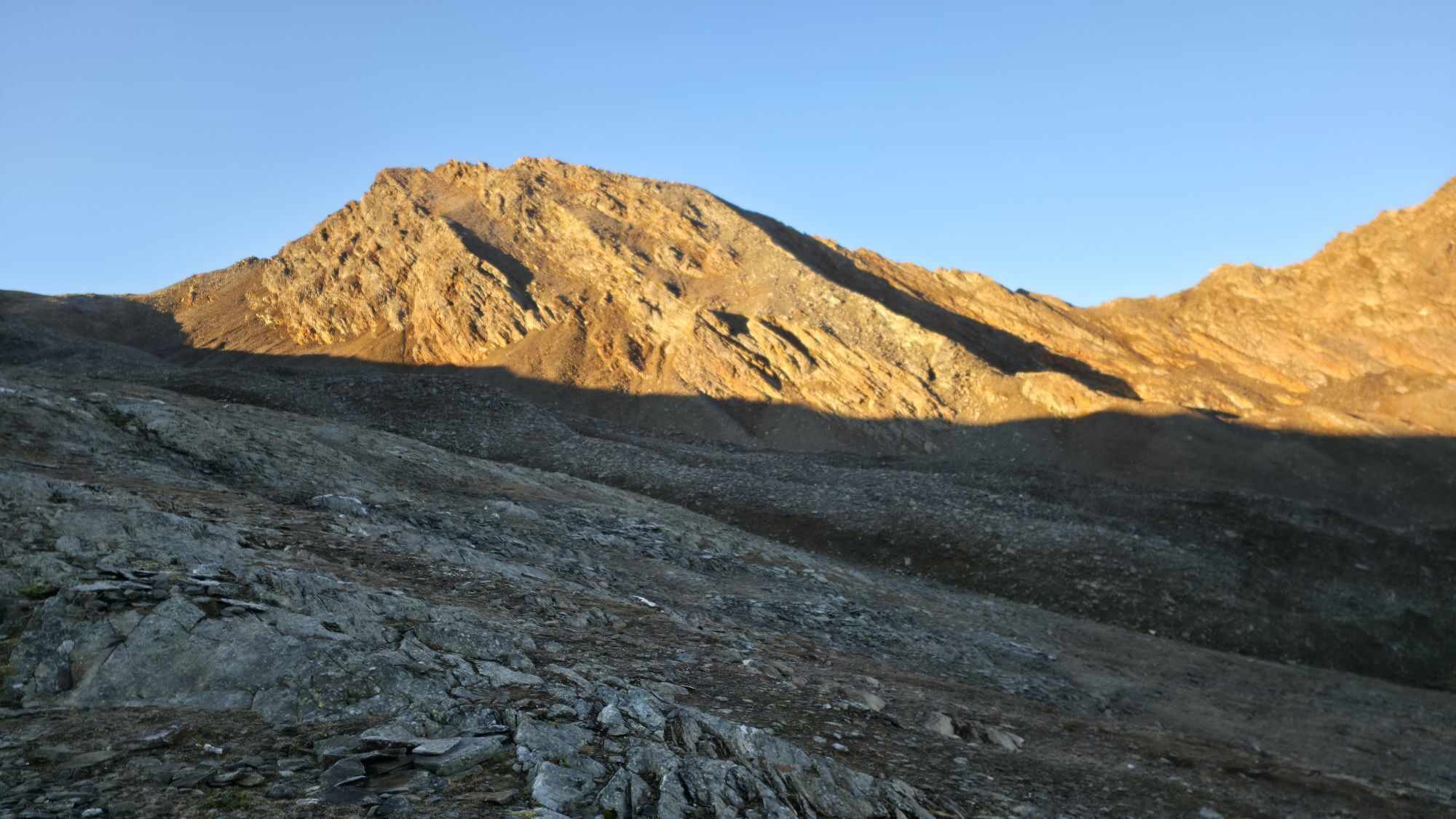
 © Gerhard SeherSkapad på 11.09.2025
 -
 © Gerhard SeherSkapad på 11.09.2025
 -
 © Gerhard SeherSkapad på 11.09.2025
 -
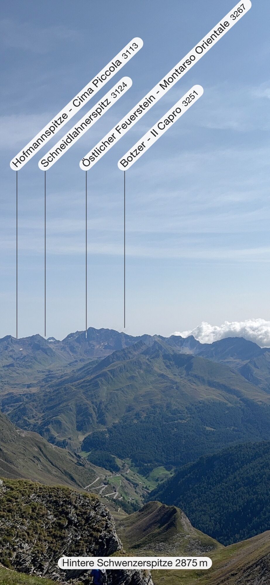
 © Markus MüllrickSkapad på 06.08.2025
 -
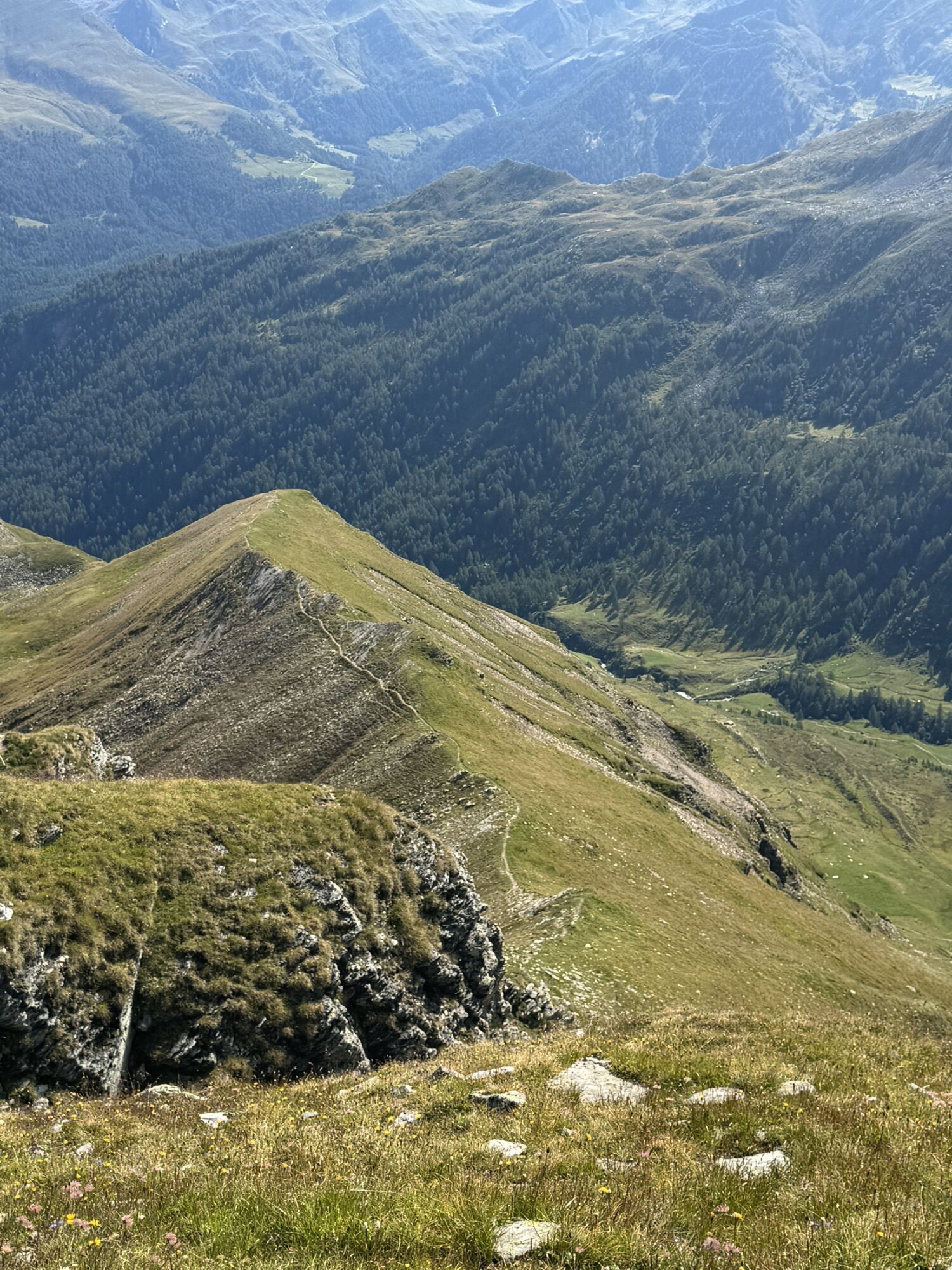
 © Markus MüllrickSkapad på 06.08.2025
 -
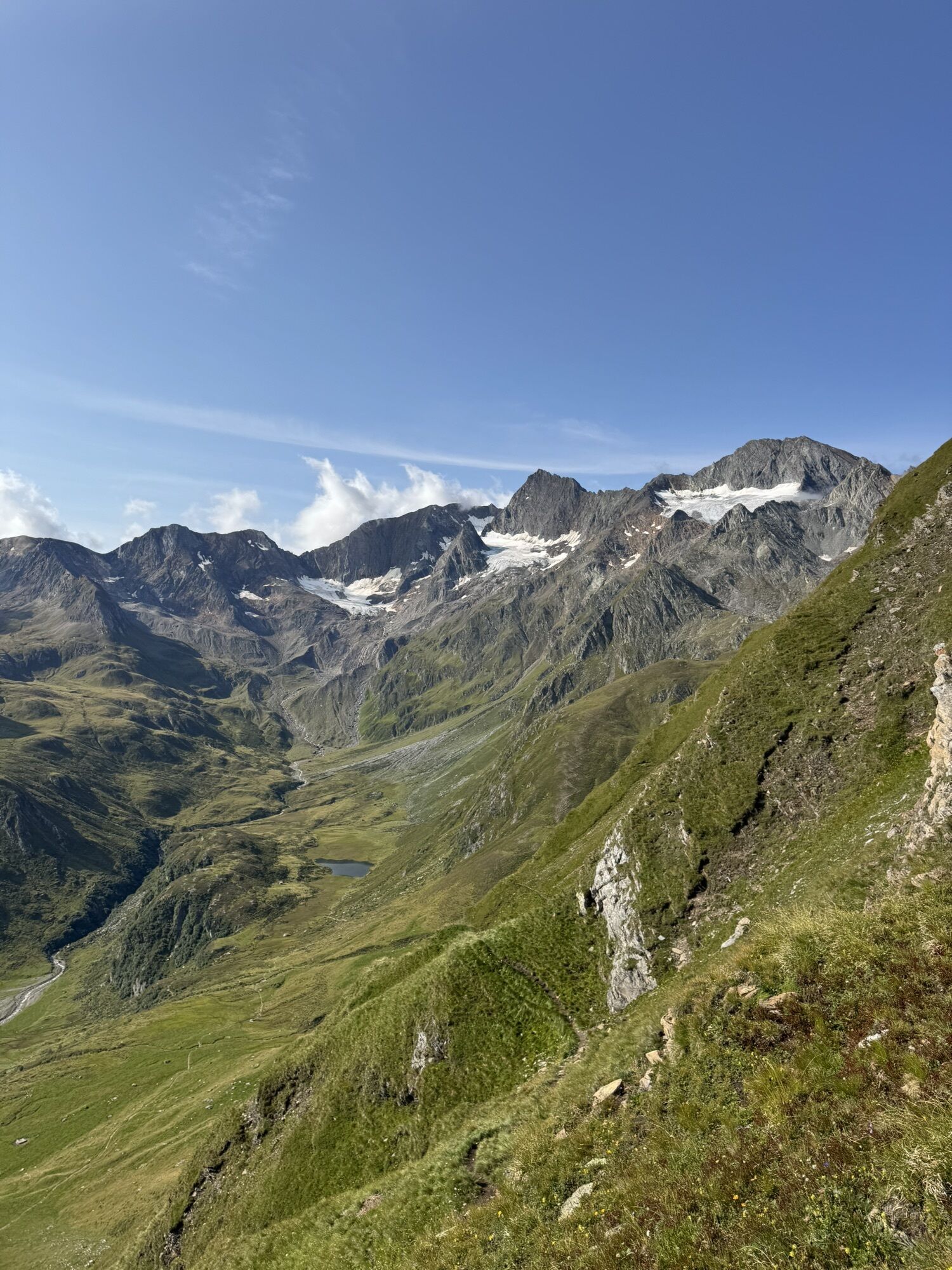
 © Markus MüllrickSkapad på 06.08.2025
 -
 © Markus MüllrickSkapad på 06.08.2025
 -
 © Markus MüllrickSkapad på 06.08.2025
 -
 © Peter NinauszSkapad på 15.03.2026
 -
 © JaimySkapad på 25.02.2026
 -
 © Peter NinauszSkapad på 15.02.2026

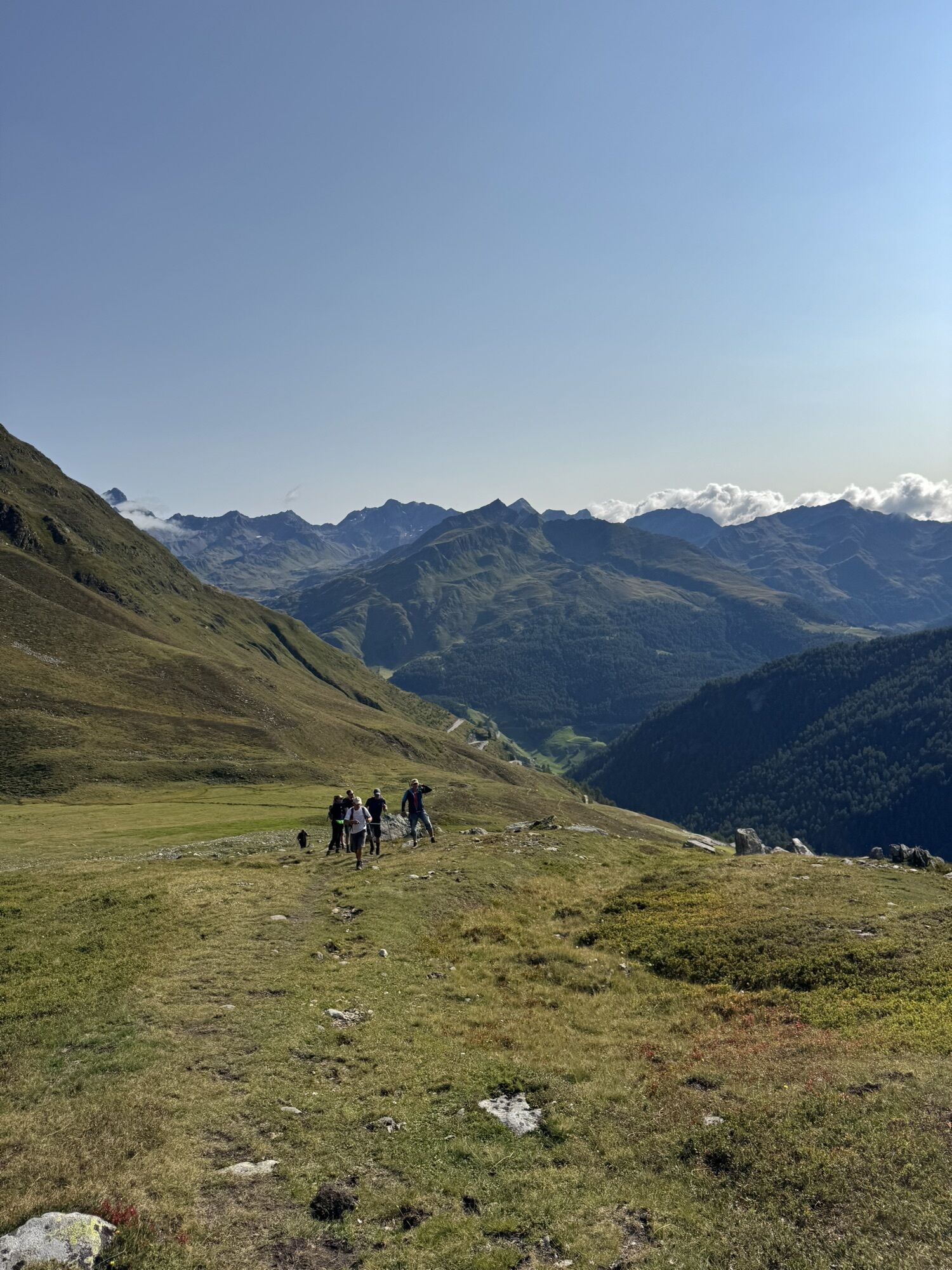


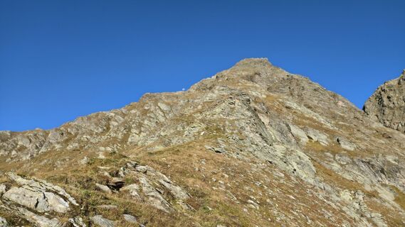
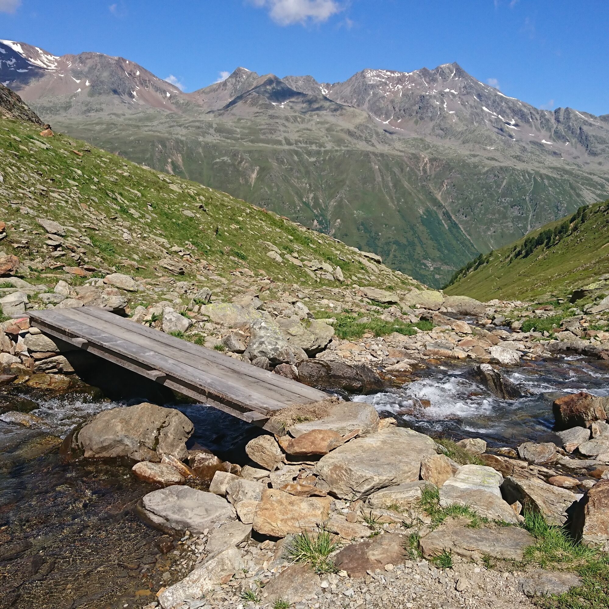
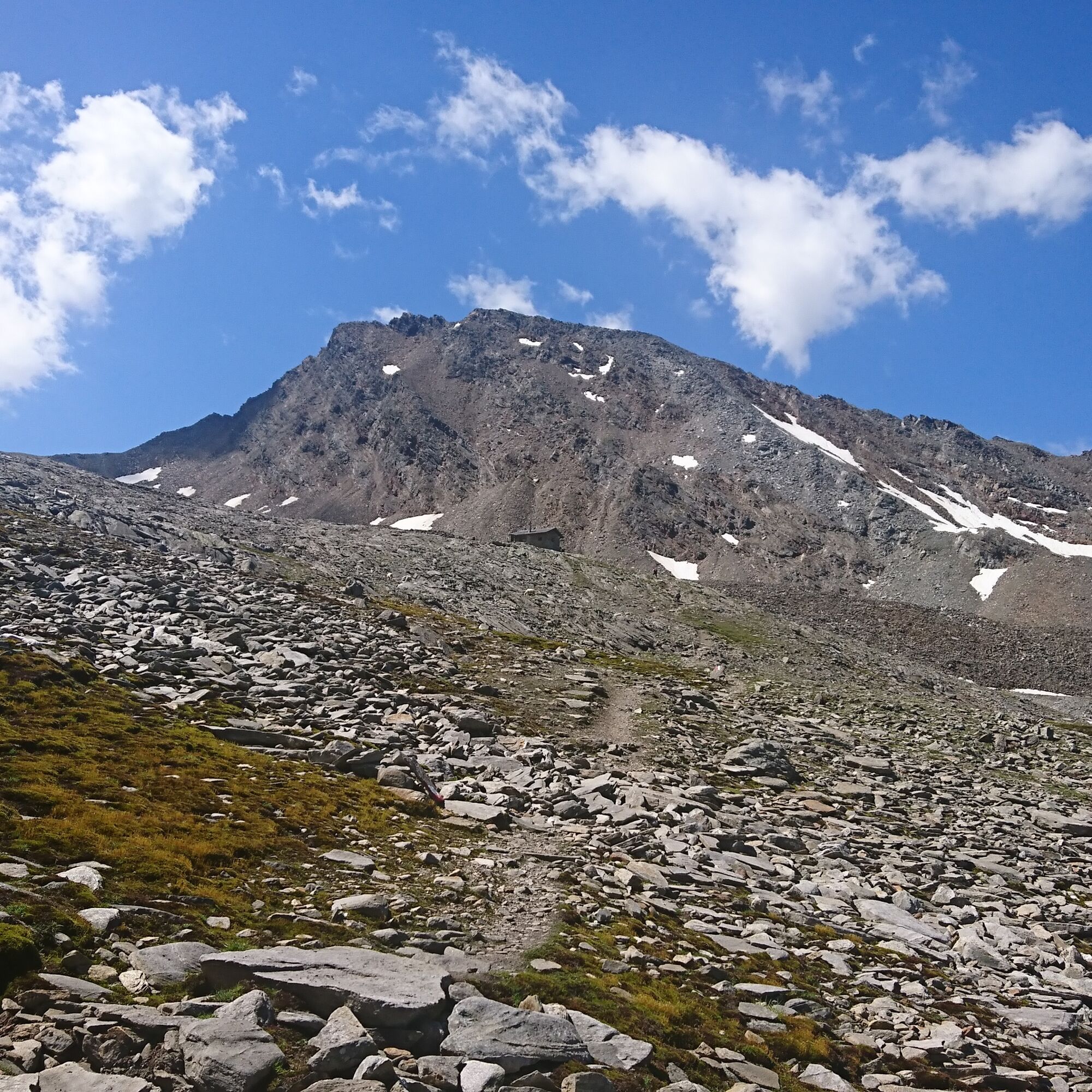
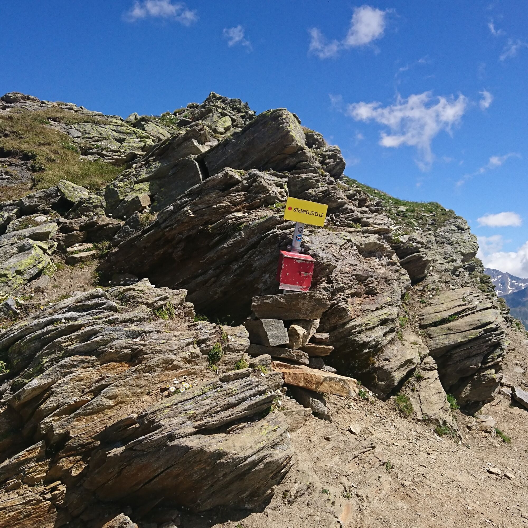
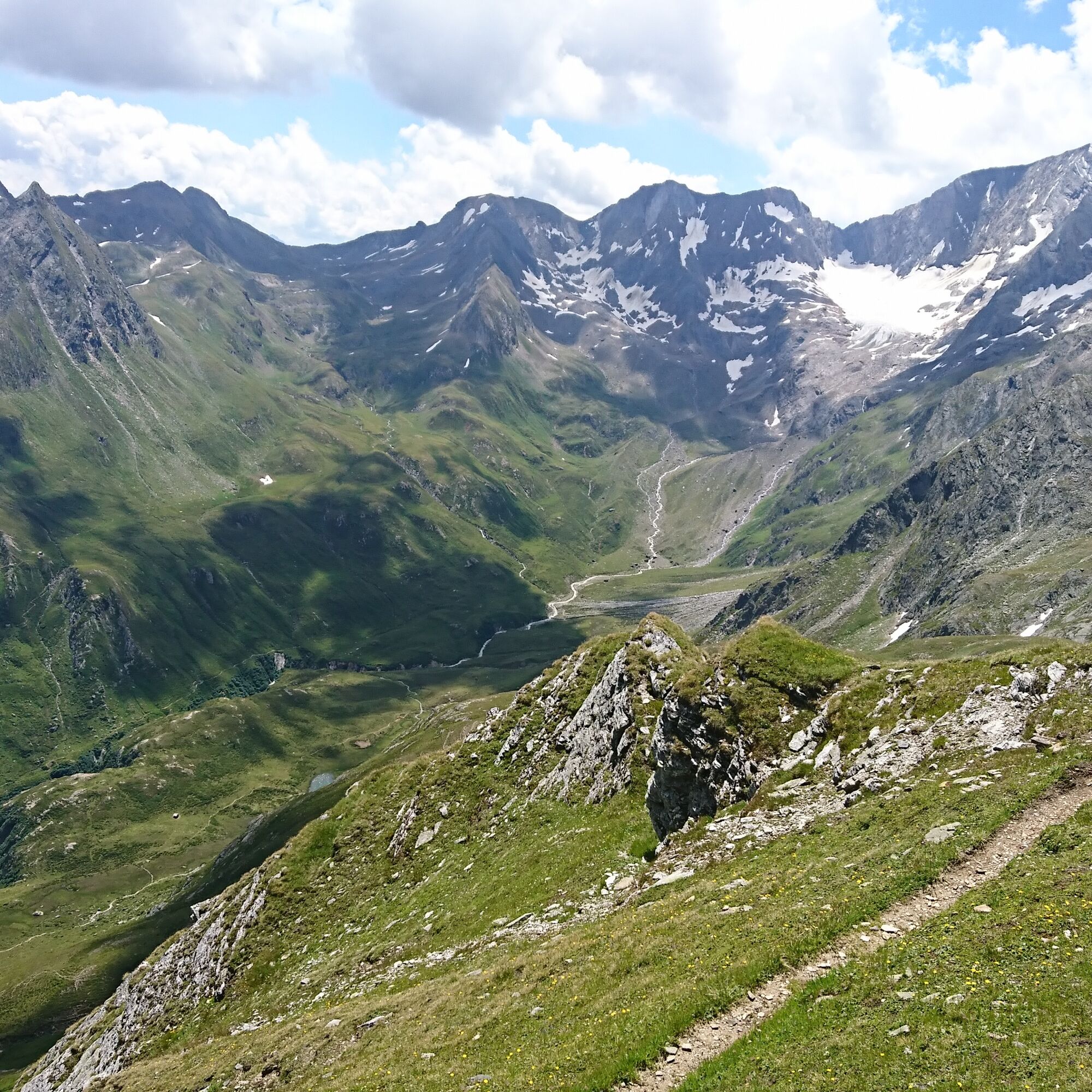
On the way from Obergurgl or Hochgurgl to the bridge at the entrance to the Königstal. From there, inward toward the valley, first right and then left along the Königsbach to the valley background, slightly...
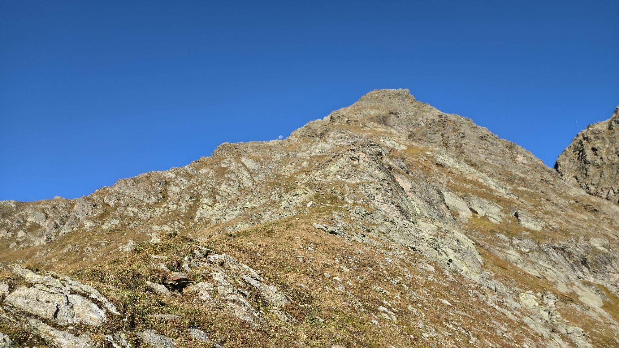
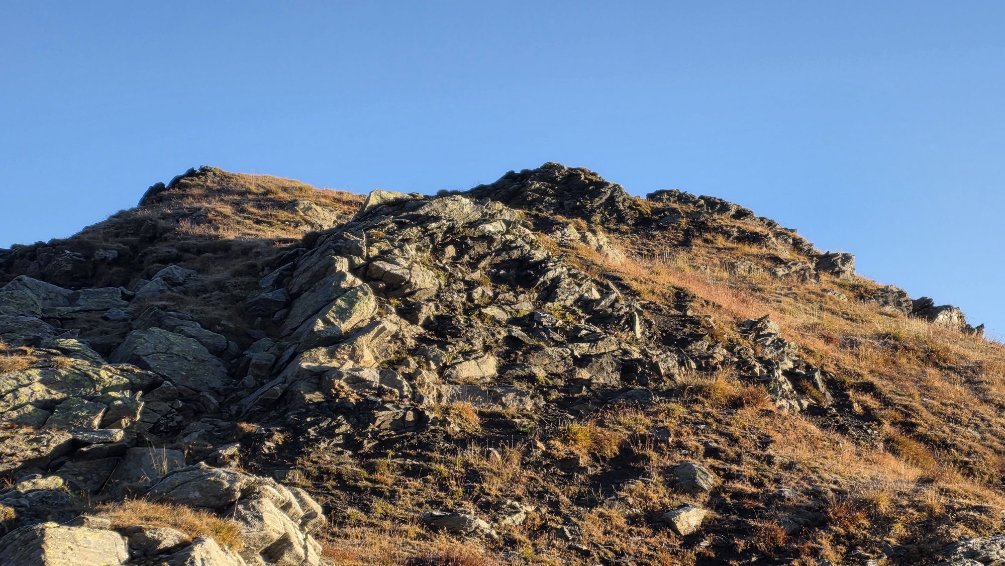
On the way from Obergurgl or Hochgurgl to the bridge at the entrance to the Königstal. From there, inward toward the valley, first right and then left along the Königsbach to the valley background, slightly ascending to the customs hut. Then over shale slopes, ascent to the Königsjoch. From there, on the South Tyrol side, initially somewhat exposed downhill to the Glanegg Alm (2,060 m) in South Tyrol. The bus stop is only a five-minute walk away, with buses returning to Obergurgl 4 times daily (until 25.09.).

On the way from Obergurgl or Hochgurgl to the bridge at the entrance to the Königstal. From there, inward toward the valley, first right and then left along the Königsbach to the valley background, slightly ascending to the customs hut. Then over shale slopes, ascent to the Königsjoch. From there, on the South Tyrol side, initially somewhat exposed downhill to the Glanegg Alm (2,060 m) in South Tyrol. The bus stop is just a five-minute walk away, with buses returning to Obergurgl 4 times daily (until 25.09.).
Appropriate equipment such as breathable and weather-appropriate outdoor clothing, ankle-high hiking boots, wind, rain and sun protection, a hat, possibly gloves, is required for all hikes and routes. Carrying a first aid kit, a mobile phone and possibly a hiking map, as well as sufficient provisions if there is no opportunity to stop for food during hikes, is necessary.
Driving into the ÖTZTAL. Located in Tyrol, the ÖTZTAL branches off to the south as the longest side valley of the Eastern Alps. Car travelers arrive via the Inn valley to the valley entrance and continue along the Ötztal. In addition to the toll motorway, country roads can also be used. Your trip can be quickly and conveniently planned using the route planner: To the route planner: https://www.google.at/maps.
Travel comfortably and safely by train to the Ötztal train station. The final stop or exit point is ÖTZTAL station. Afterwards, travel conveniently and quickly with public transport or local taxi companies through the entire valley to your desired destination! The current bus timetable is available at: http://fahrplan.vvt.at
The following parking options are available in Obergurgl-Hochgurgl:
Parking garage Zentrum Obergurgl (down to the right in front of the church). Paid | € 2.00 per hour Parking garage at village entrance – Festkoglbahn valley station. Paid | € 2.00 per hour Parking lot at Hochgurglbahn valley station, free – no overnight parking Parking lot Top Mountain Crosspoint, free Parking lot Hochgurgl, free (very small parking lot)You can find the bus timetable here: www.oetztaler.at
Webbkameror för rundturen
-
Obergurgl
-
Hochgurgl
-
Obergurgl
-
Gaisberg
-
Top Mountain Crosspoint Hochgurgl
-
Top Mountain Crosspoint Hochgurgl
-
Top Mountain Crosspoint Hochgurgl
-
Top Mountain Crosspoint Hochgurgl
-
Top Mountain Crosspoint Hochgurgl
-
Obergurgl
-
Obergurgl
-
Obergurgl
-
Obergurgl
-
Obergurgl
-
Obergurgl
-
Obergurgl
-
Obergurgl - Hotel Edelweiss & Gurgl
-
Top Mountain Crosspoint Hochgurgl
-
Rabenstein im Passeiertal
Populära turer i närområdet
-
3,1
Tiefenbachglacier - Mountaineering Village Vent
MediumVandring 10,8 km -
4,6
Passerschlucht
ljusVandring 8,84 km -
4,4
Hochwilde - Pfelders
MediumHög tur 22,1 km -
4,4
Passerschlucht mit Stieber Wasserfällen, Trentino-Südtirol/Italien
MediumVandring 9,49 km -
3,4
Peerler Lake
MediumVandring 12,6 km -
4,5
Vent - Wilder Mann - Breslauer Hütte - Stableinalm
MediumVandring 7,25 km -
The Meran High Mountain Road from Leiter Alm hut
tungVandring 92,7 km -
4,5
Lake Gaislachsee
MediumVandring 4,04 km -
5,0
07. 19.07.19 - Langeggbahn-Rotkogel–Schwarzsee-Schwarzkogel-Giggijochbahn
MediumVandring 6,67 km -
4,5
Nederkogl
tungVandring 6,22 km

Vandring och spårning


Missa inte erbjudanden och inspiration inför nästa semester
Din e-postadress har lagts till på e-postlistan.