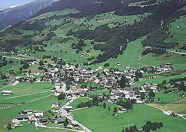
Welcome to the beautiful Val Tujetsch!
/The locals greet each other with a hearty "bien di, buna sera" or "bien onn". This greeting is in keeping with our Romansh tradition. Despite the significant changes of recent years, "Romansh" is still our official language. Fortunately, we have largely succeeded in preserving our identity and our unique idiom. Numerous people and...
Welcome to the beautiful Val Tujetsch!
/The locals greet each other with a hearty "bien di, buna sera" or "bien onn". This greeting is in keeping with our Romansh tradition. Despite the significant changes of recent years, "Romansh" is still our official language. Fortunately, we have largely succeeded in preserving our identity and our unique idiom. Numerous people and organisations cultivate these cultural values with a great deal of love and dedication.
Tujetsch is located at the top of the Surselva. The Oberalp Pass connects the Tujetsch valley with the Urseren valley. The cradle of the Rhine is located on our territory: Lake Toma.
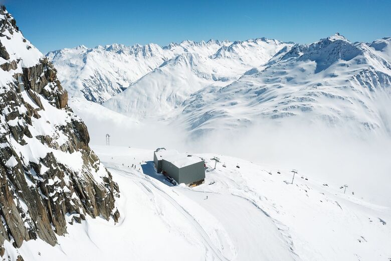
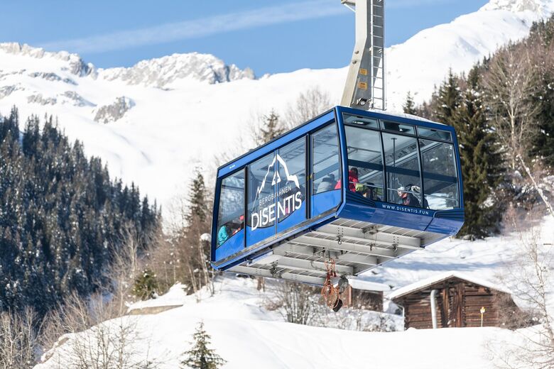
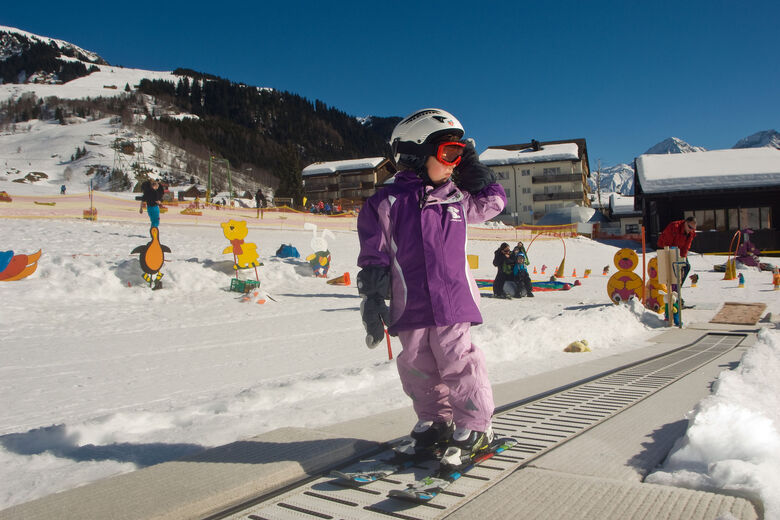
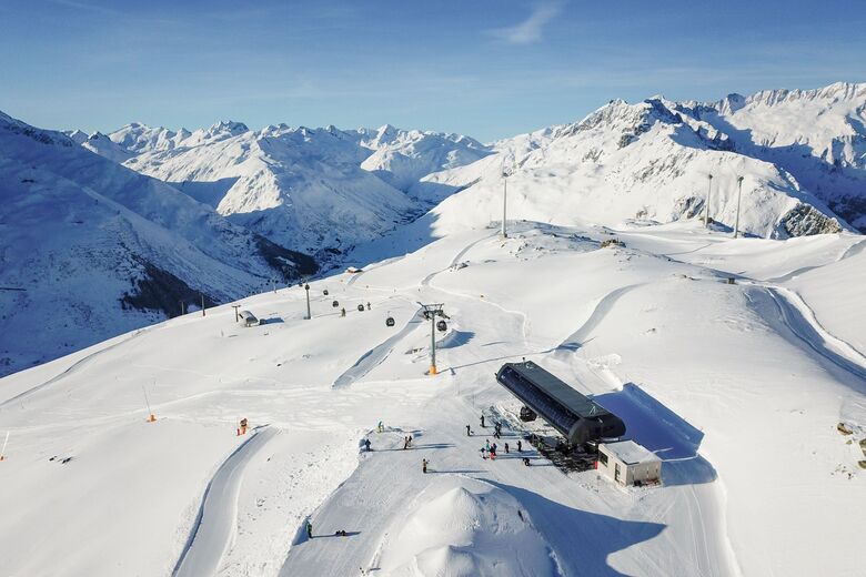
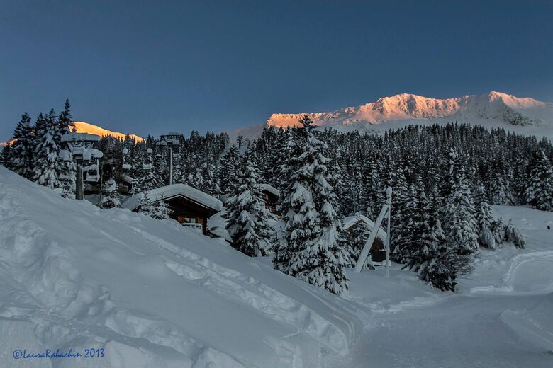
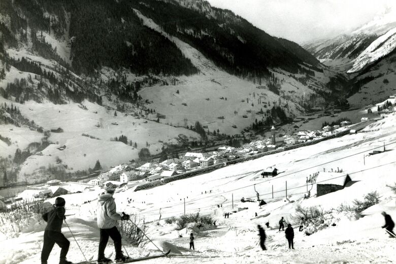
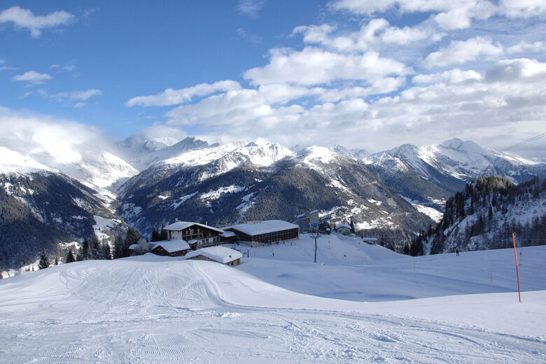
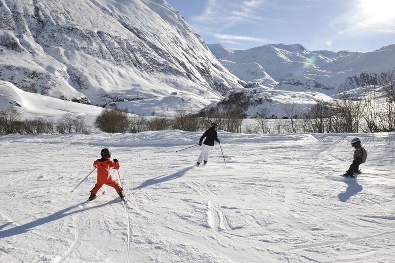
For years, the mountain population lived from agriculture. The construction of the reservoirs and the utilisation of hydropower in the 1960s brought about a major change. The abundant water rates made it possible to improve the infrastructure and introduce winter tourism. In winter, an extensive ski area attracts visitors from near and far. In summer, there are numerous opportunities for easy but also challenging mountain hikes or bike tours. The Lag Claus bathing lake in Surrein, newly built in 2012, invites everyone to cool off or relax. The beautiful landscape is our wealth.
Construction of the NRLA, the new transalpine railway link, began in 1995. At the end of 2014, the work from Sedrun was more or less completed. The last work in Sedrun was completed at the end of 2017 and the offices were closed. The renaturalisation will continue for a few more years until there is nothing left to remind us of the once major construction site in Sedrun.
Planera din semester


Kontakta oss





Vandring och spårning




Missa inte erbjudanden och inspiration inför nästa semester
Din e-postadress har lagts till på e-postlistan.





